Loch Gearraidh Mhic Iain
Lake, Pool, Pond, Freshwater Marsh in Inverness-shire
Scotland
Loch Gearraidh Mhic Iain
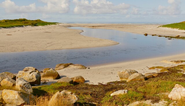
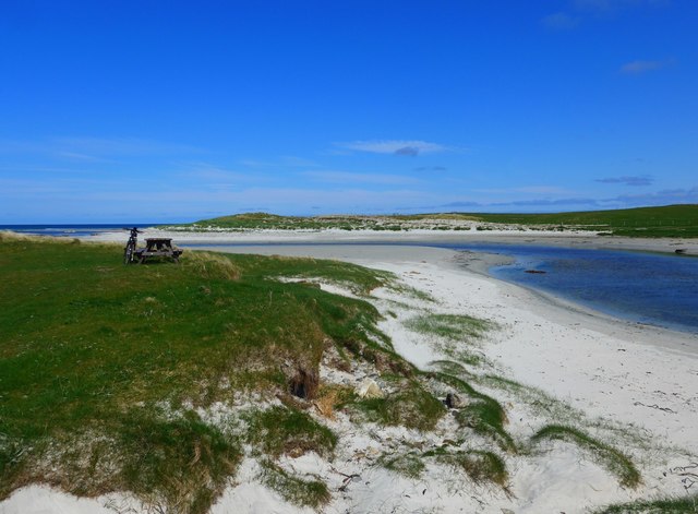
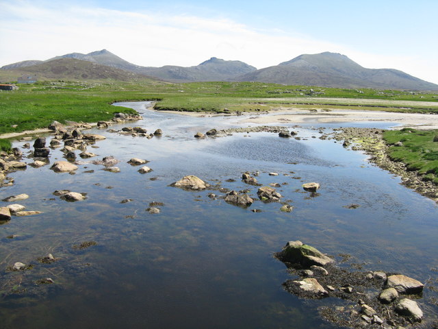
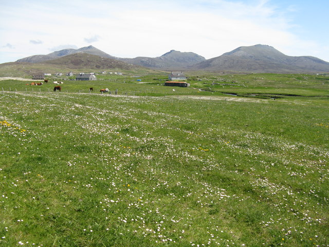
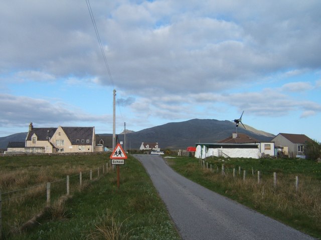
Loch Gearraidh Mhic Iain is a freshwater loch located in Inverness-shire, Scotland. Situated amidst the picturesque landscape of the Scottish Highlands, it is a popular destination for nature enthusiasts and outdoor enthusiasts alike.
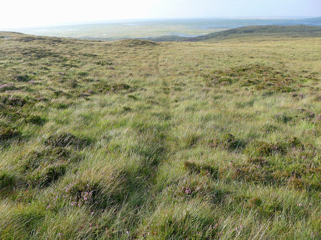
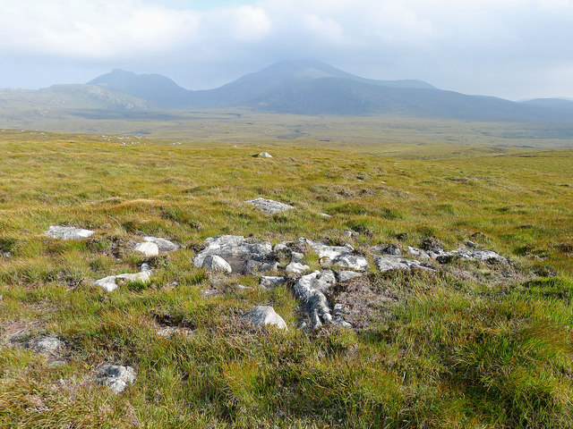
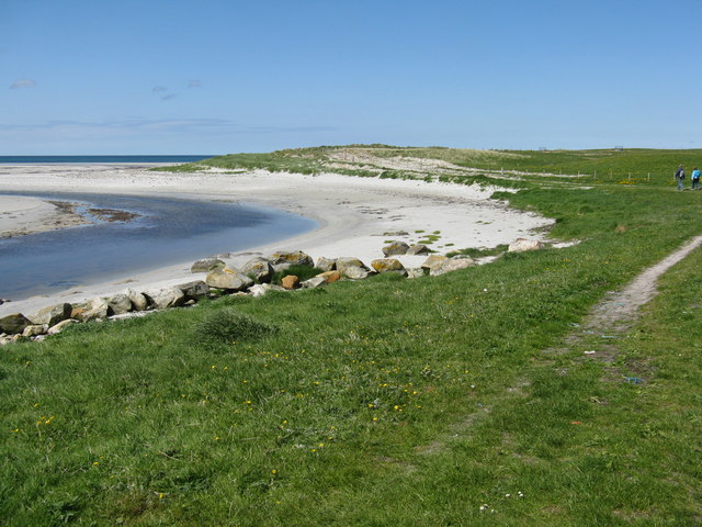
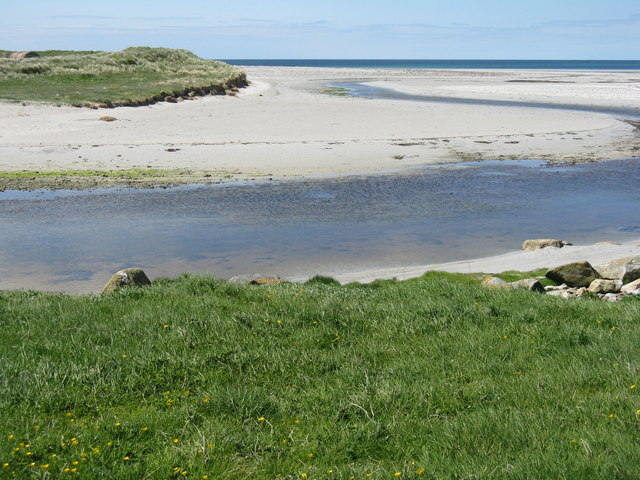
Covering an area of approximately 2 square kilometers, Loch Gearraidh Mhic Iain is surrounded by rolling hills and dense forests, offering visitors breathtaking views and a serene atmosphere. The loch itself is relatively shallow, with an average depth of around 5 meters, and is fed by several small streams and rivers that flow from the surrounding hills.
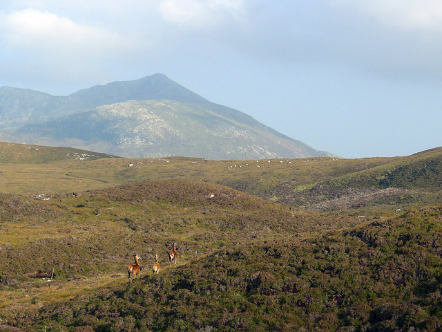
The loch is home to a diverse range of flora and fauna, making it an important habitat for many species. Birdwatchers can spot a variety of waterfowl and wading birds, such as herons, ducks, and grebes, along with rarer species like ospreys and golden eagles. The surrounding marshes and wetlands provide a perfect breeding ground for amphibians, including frogs and newts.
Fishing is a popular activity at Loch Gearraidh Mhic Iain, with anglers attracted by its healthy populations of brown trout and salmon. The loch is known for its excellent fishing conditions, with clear waters and plenty of hiding spots for the fish.
For those seeking outdoor adventures, the loch offers opportunities for kayaking, canoeing, and paddleboarding, allowing visitors to explore its tranquil waters and discover hidden coves. Hiking trails around the loch provide breathtaking views of the surrounding landscape, making it a favorite spot for photographers and nature lovers.
Overall, Loch Gearraidh Mhic Iain is a natural gem in Inverness-shire, offering a peaceful retreat and a chance to immerse oneself in the beauty of the Scottish Highlands.
If you have any feedback on the listing, please let us know in the comments section below.
Loch Gearraidh Mhic Iain Images
Images are sourced within 2km of 57.299297/-7.3766854 or Grid Reference NF7635. Thanks to Geograph Open Source API. All images are credited.

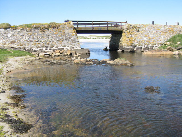
![Bacon and eggs at Howmore Also known as Birdsfoot-trefoil [Lotus corniculatus]. On sandy soil on the parapet of a bridge crossing the Howmore River.](https://s1.geograph.org.uk/geophotos/04/99/79/4997997_76715694.jpg)
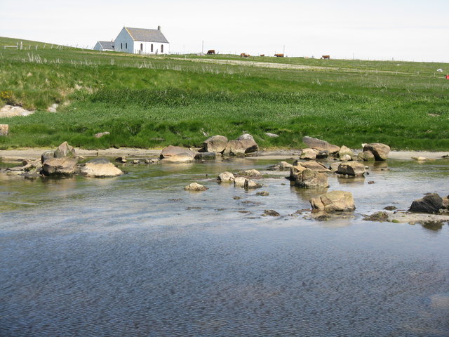
![The Ancient chapels at Tobha Mòr Map and information about the five historic chapels [12-13thC] that were, at one time or another, on this site.](https://s3.geograph.org.uk/geophotos/04/99/97/4999731_d7f1be66.jpg)
Loch Gearraidh Mhic Iain is located at Grid Ref: NF7635 (Lat: 57.299297, Lng: -7.3766854)
Unitary Authority: Na h-Eileanan an Iar
Police Authority: Highlands and Islands
What 3 Words
///trainers.royal.goodbyes. Near Lochboisdale, Na h-Eileanan Siar
Related Wikis
Howmore
Howmore (Scottish Gaelic: Togh Mòr / Tobha Mor) lies on the island of South Uist to the southwest of Loch Druidibeg. The mountain of Haarsal rises to 139...

South Uist Machair and Lochs
The South Uist Machair and Lochs is a protected wetland area on the west coast of South Uist in the Outer Hebrides of Scotland. A total of 5,019 hectares...
Stoneybridge
Stoneybridge (Scottish Gaelic: Staoinebrig) is a village on the island of South Uist in Scotland. The Crois Chnoca Breaca standing stone is situated to...

Loch Druidibeg
Loch Druidibeag is a freshwater loch situated on the island of South Uist, in the Outer Hebrides of Scotland. The loch is near the northern end of the...
Nearby Amenities
Located within 500m of 57.299297,-7.3766854Have you been to Loch Gearraidh Mhic Iain?
Leave your review of Loch Gearraidh Mhic Iain below (or comments, questions and feedback).