Loch nam Balgan
Lake, Pool, Pond, Freshwater Marsh in Inverness-shire
Scotland
Loch nam Balgan
The requested URL returned error: 429 Too Many Requests
If you have any feedback on the listing, please let us know in the comments section below.
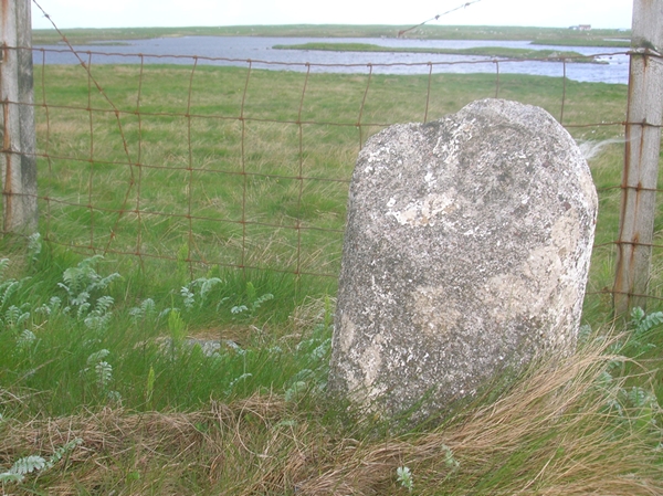
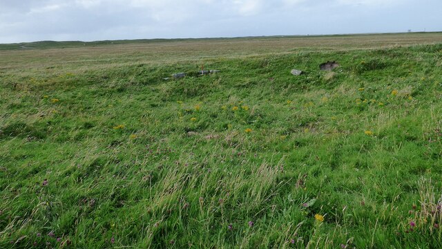
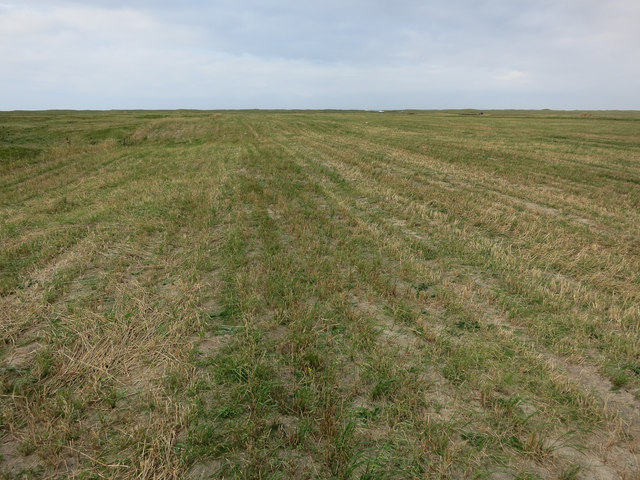
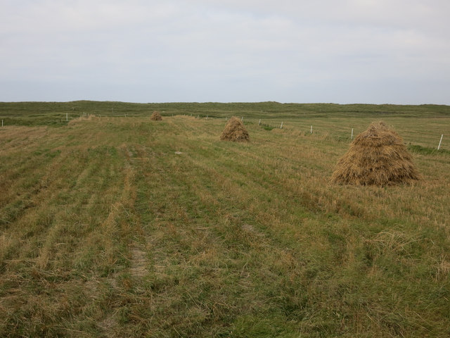
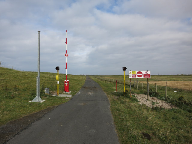
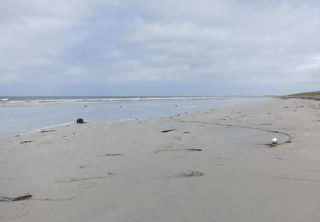
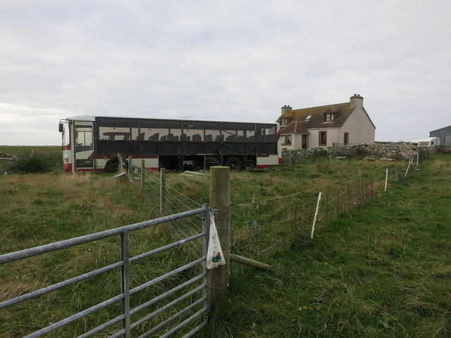
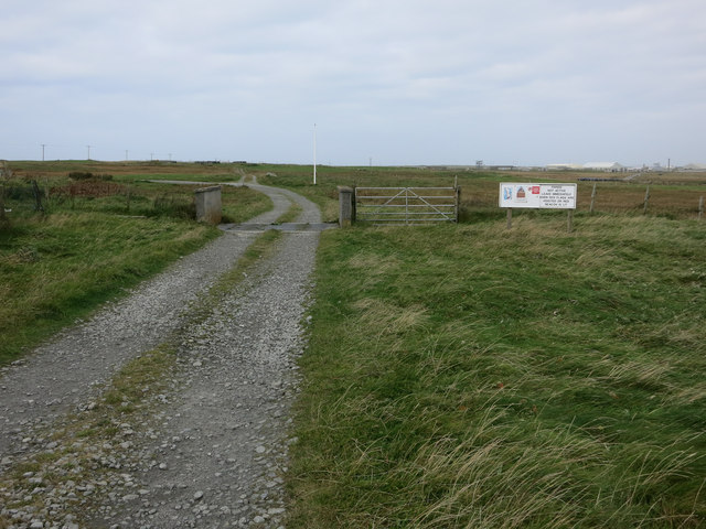
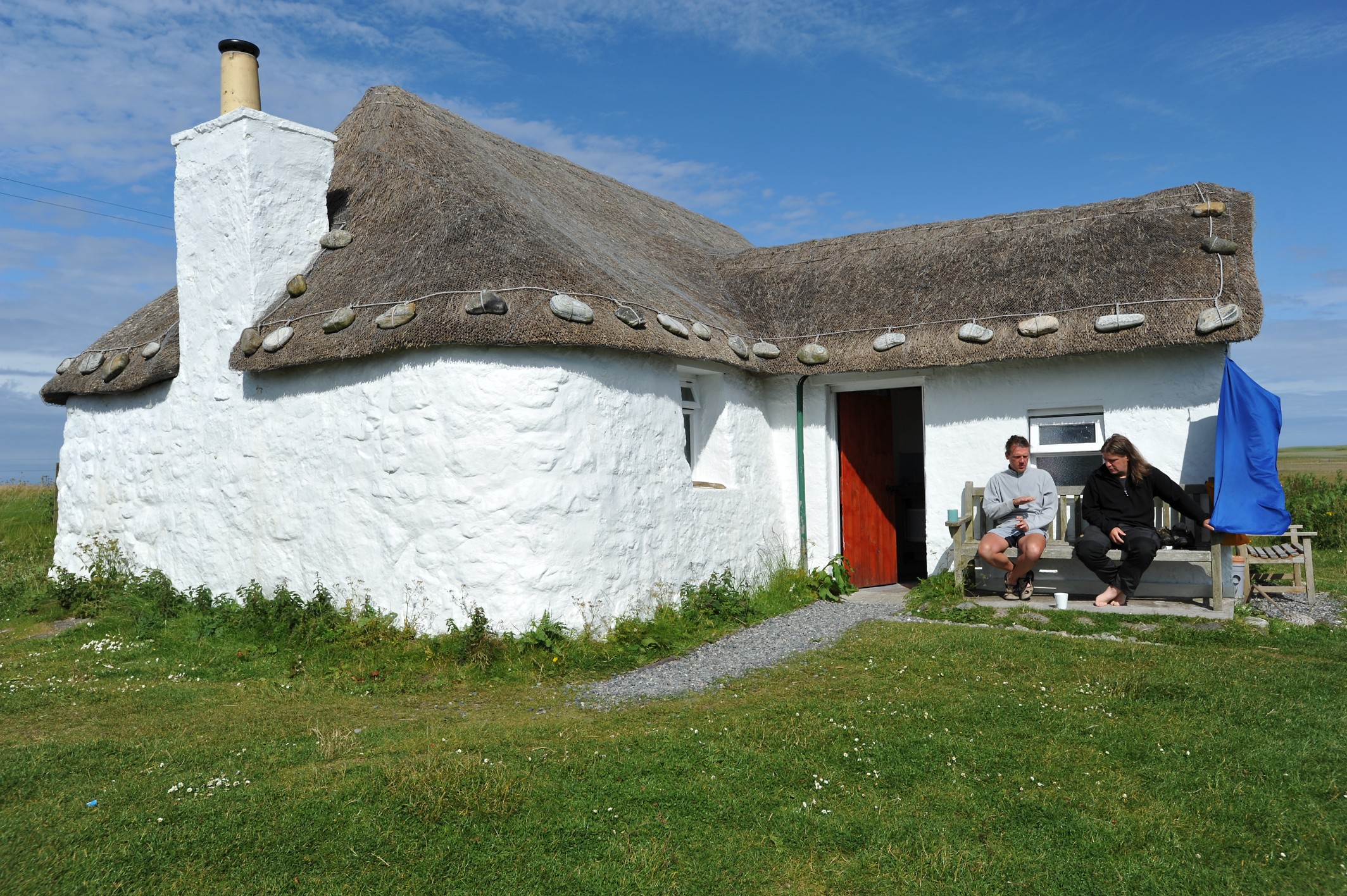
Loch nam Balgan Images
Images are sourced within 2km of 57.335899/-7.3827463 or Grid Reference NF7640. Thanks to Geograph Open Source API. All images are credited.
Loch nam Balgan is located at Grid Ref: NF7640 (Lat: 57.335899, Lng: -7.3827463)
Unitary Authority: Na h-Eileanan an Iar
Police Authority: Highlands and Islands
What 3 Words
///shine.optimists.whistle. Near Balivanich, Na h-Eileanan Siar
Nearby Locations
Related Wikis

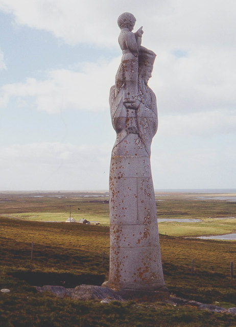
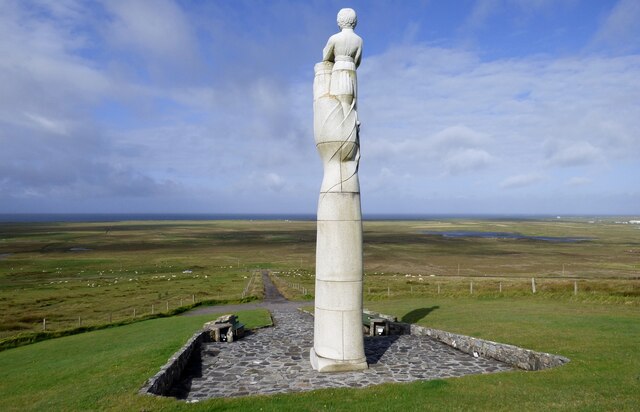
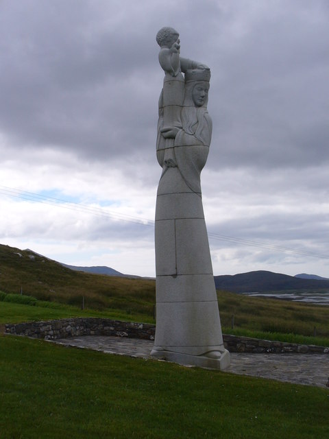
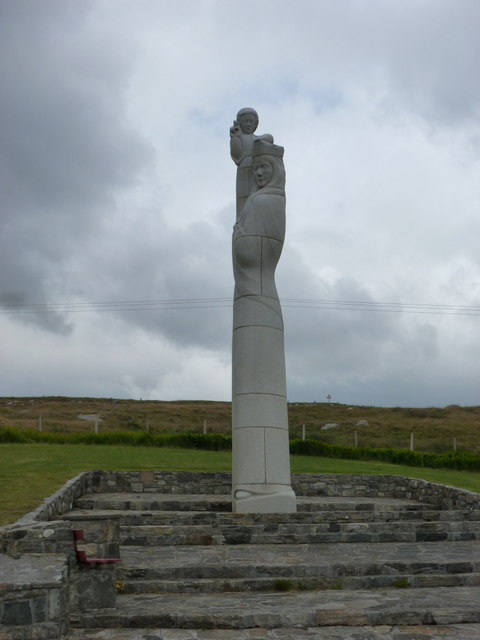
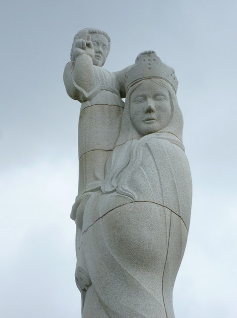
Our Lady of the Isles
Our Lady of the Isles (Gaelic: Moire ro Naomh nan Eilean or Bana Thighearna nan Eilean) is a sculpture of the Madonna and Child, on South Uist in the Outer...

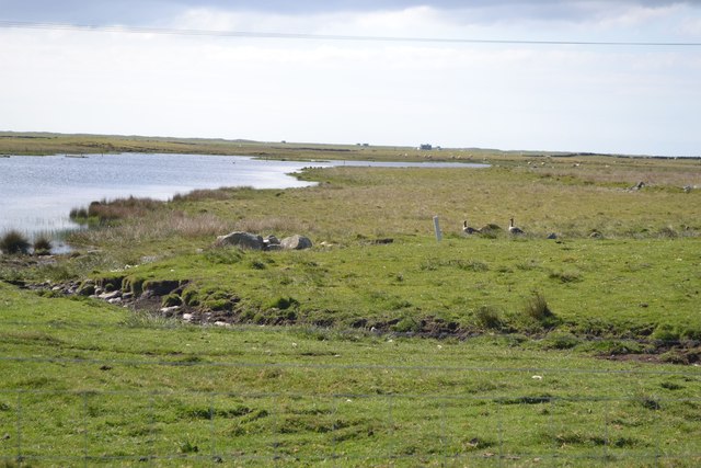
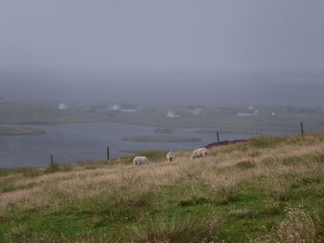
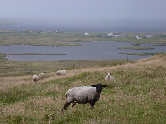
South Uist Machair and Lochs
The South Uist Machair and Lochs is a protected wetland area on the west coast of South Uist in the Outer Hebrides of Scotland. A total of 5,019 hectares...

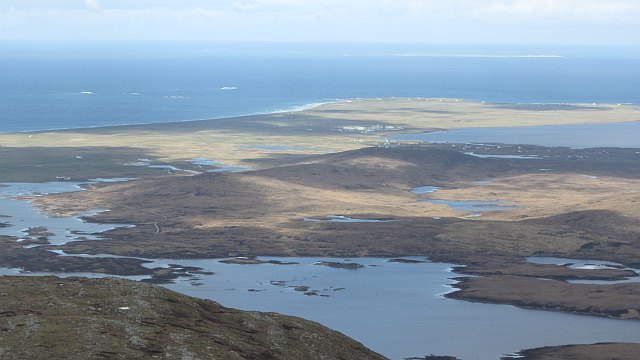
Loch Bee
Loch Bì, sometimes anglicised as Loch Bee, is the largest loch on the island of South Uist in the Outer Hebrides of Scotland. It lies at the northern end...
Howmore
Howmore (Scottish Gaelic: Togh Mòr / Tobha Mor) lies on the island of South Uist to the southwest of Loch Druidibeg. The mountain of Haarsal rises to 139...
Related Videos


Our Lady of the Isles, South Uist, Outer Hebrides of Scotland
Photography by Rebecca Budd Music by Sight of Wonders “Hiro” Epidemic Sound.
Nearby Amenities
Located within 500m of 57.335899,-7.3827463Have you been to Loch nam Balgan?
Leave your review of Loch nam Balgan below (or comments, questions and feedback).