Aunby

Settlement in Lincolnshire South Kesteven

England

Aunby

The Drift at its junction with the B1176 road Looking north-eastward.
The Drift at its junction with the B1176 road Credit: Peter Wood

Aunby is a small village located in the county of Lincolnshire, England. Situated approximately 7 miles north of Stamford and 10 miles south of Bourne, it is nestled amidst the picturesque countryside of this rural region. Aunby falls within the South Kesteven district and is part of the civil parish of Bainton and Ashton.

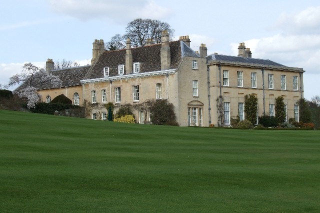
The village is known for its tranquil and idyllic setting, with rolling green fields and charming country lanes. It is primarily a residential area, with a small population of around 100 residents. The architecture in Aunby is predominantly traditional English village style, with a mixture of picturesque cottages and larger country houses.

Although Aunby is a relatively quiet and secluded village, it benefits from its proximity to nearby towns and amenities. Residents have easy access to a range of facilities, including schools, shops, and medical services, in nearby Stamford and Bourne.

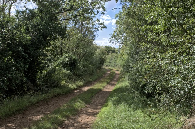
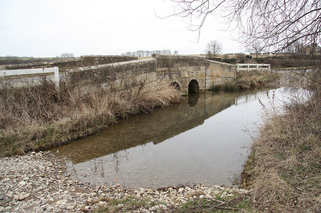
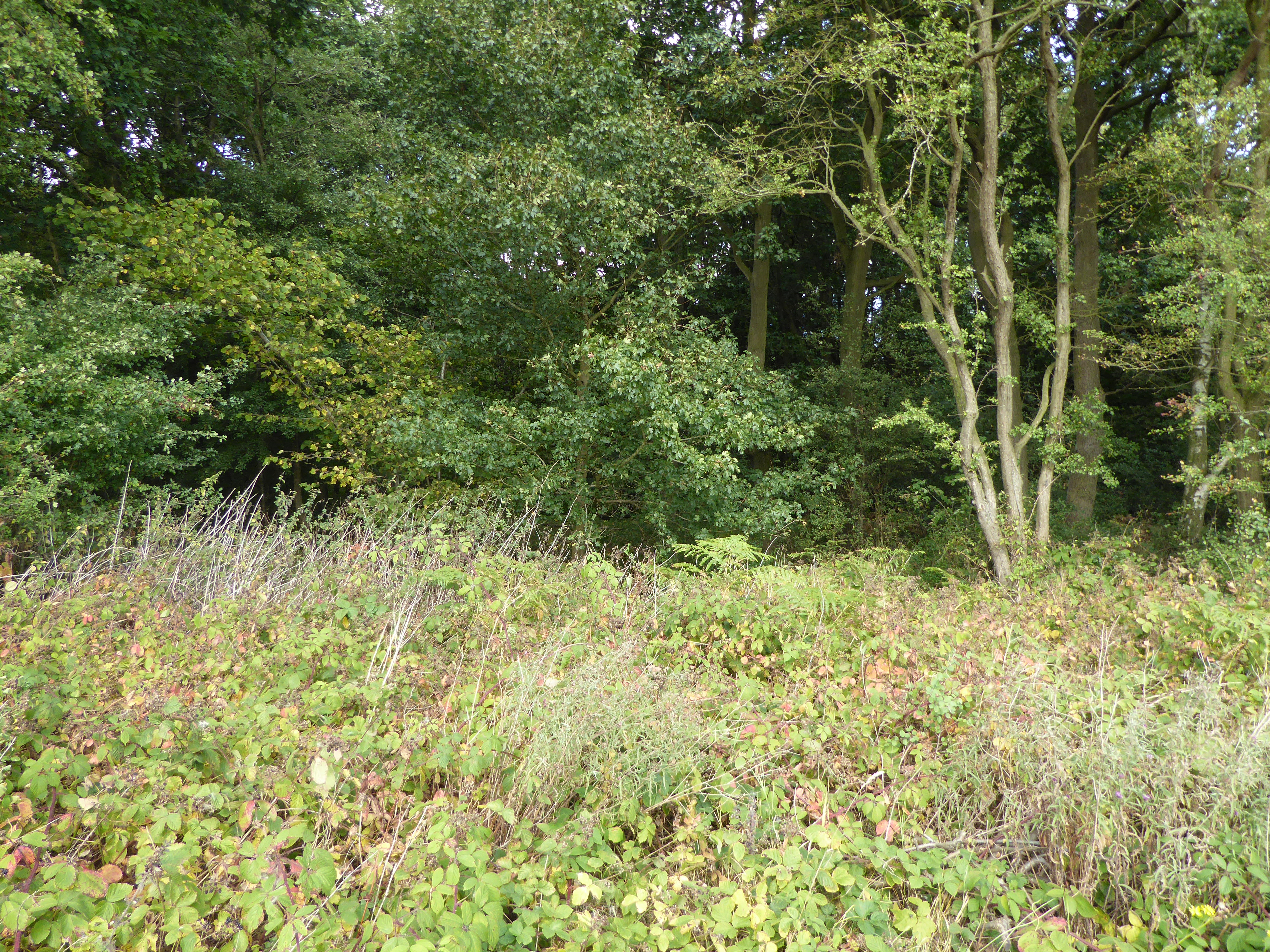
The village is also surrounded by natural beauty, with numerous walking and cycling routes in the area. Outdoor enthusiasts can explore the nearby Rutland Water, a large reservoir offering various recreational activities such as sailing, fishing, and birdwatching. The rolling hills of the Lincolnshire Wolds Area of Outstanding Natural Beauty are also within reach, providing opportunities for hiking and enjoying the stunning scenery.

Overall, Aunby offers a peaceful and picturesque setting for those looking to escape the hustle and bustle of city life and embrace the charm of rural England.

If you have any feedback on the listing, please let us know in the comments section below.
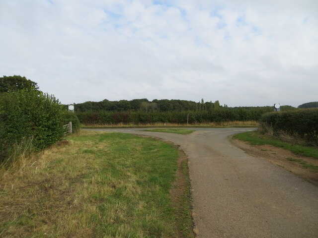
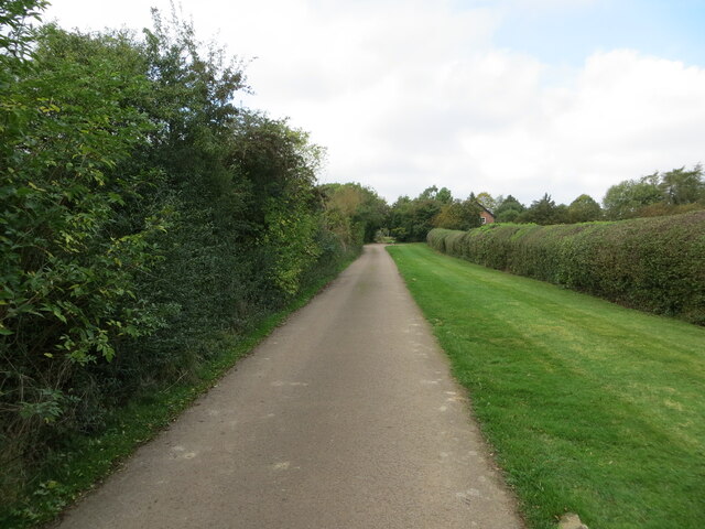
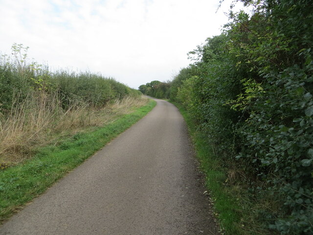
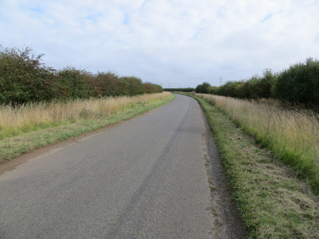
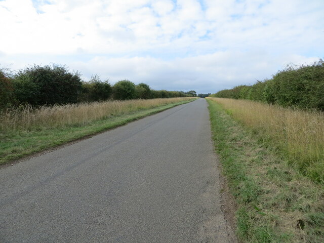
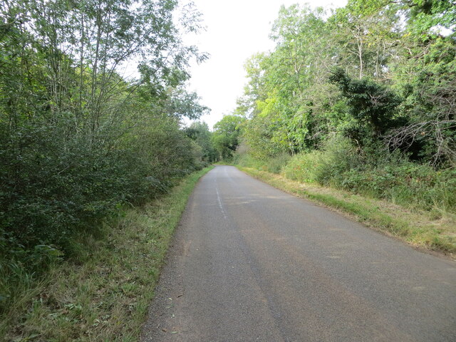
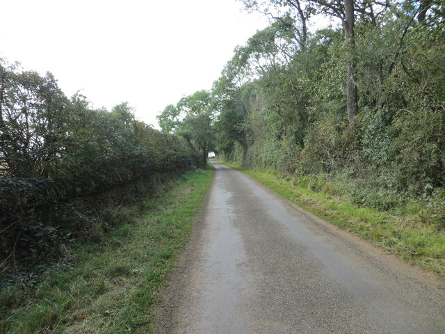
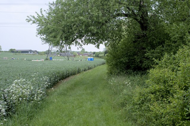
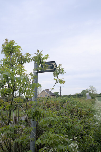
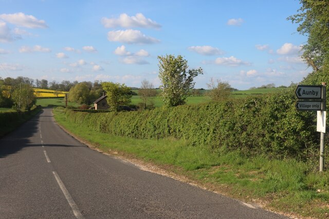
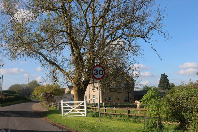
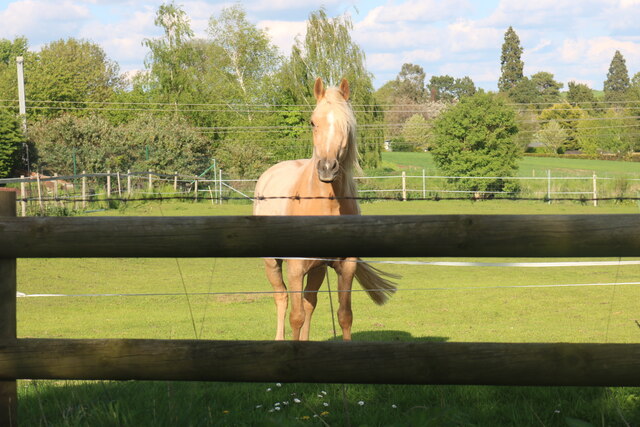
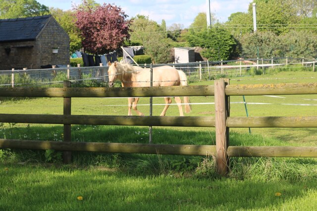
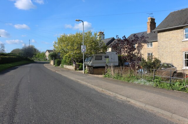
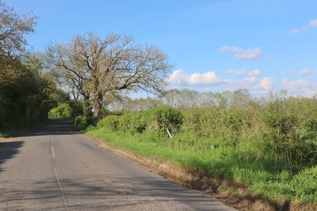
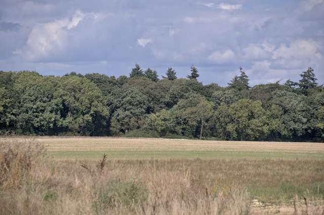
Aunby Images

Images are sourced within 2km of 52.718942/-0.489098 or Grid Reference TF0214. Thanks to Geograph Open Source API. All images are credited.

The Drift at its junction with the B1176 road Looking north-eastward.
The Drift at its junction with the B1176 road
Looking north-eastward.
The Drift as a public road ends here but continues as a by-way Looking north-westward
The Drift as a public road ends here but continues as a by-way
Looking north-westward
The Drift near to Clay Hill Looking south-eastward.
The Drift near to Clay Hill
Looking south-eastward.
Road heading towards Vale Farm Looking south-eastward.
Road heading towards Vale Farm
Looking south-eastward.
Road heading towards Little Warren and Castle Dyke Looking north-westward.
Road heading towards Little Warren and Castle Dyke
Looking north-westward.
Tree and hedge enclosed road at Little Warren Wood Looking north-westward.
Tree and hedge enclosed road at Little Warren Wood
Looking north-westward.
Hedge and tree enclosed minor road at Castle Dyke Looking south-westward.
Hedge and tree enclosed minor road at Castle Dyke
Looking south-westward.
Restricted Byway Sections 47-50 of the 2000 Act introduce a new category of highway called 
the “restricted byway”. A restricted byway is defined as a highway over which 
the public have restricted byway rights, with or without the right to drive 
animals of any description.  This replaced the concept of a "road used as a public path".

This track is a restricted byway.  See <a href="https://www.geograph.org.uk/photo/7175487">TF0214 : Restricted Byway sign</a>.

A little further on is the camp for one of the wire-pulling bases used to re-string the 400kV line through Lincolnshire
Restricted Byway
Sections 47-50 of the 2000 Act introduce a new category of highway called the “restricted byway”. A restricted byway is defined as a highway over which the public have restricted byway rights, with or without the right to drive animals of any description. This replaced the concept of a "road used as a public path". This track is a restricted byway. See TF0214 : Restricted Byway sign. A little further on is the camp for one of the wire-pulling bases used to re-string the 400kV line through Lincolnshire
Criss-Cross Patterns against the sky of the wires and structure of a pylon, including (on the right) a pulling platform used for changing the wires.
Criss-Cross
Patterns against the sky of the wires and structure of a pylon, including (on the right) a pulling platform used for changing the wires.
Restricted Byway sign Sections 47-50 of the 2000 Act introduced a new category of highway called 
the “restricted byway”. A restricted byway is defined as a highway over which 
the public have restricted byway rights, with or without the right to drive 
animals of any description.  No motorised vehicles are permitted.
Restricted Byway sign
Sections 47-50 of the 2000 Act introduced a new category of highway called the “restricted byway”. A restricted byway is defined as a highway over which the public have restricted byway rights, with or without the right to drive animals of any description. No motorised vehicles are permitted.
Stamford Road, Aunby
Stamford Road, Careby
Horse in Careby He came right over to see me, but I couldn't get any closer as there is a barrier between there and the fence.
Horse in Careby
He came right over to see me, but I couldn't get any closer as there is a barrier between there and the fence.
Horse in Careby He walked straight over when he saw me but there were two sets of fences to stop him getting any closer.
Horse in Careby
He walked straight over when he saw me but there were two sets of fences to stop him getting any closer.
Stamford Road, Careby
Stamford Road south of Careby
Looking toward Newell Wood
The Drift changes At this point The Drift loses its artificially metalled surface, and becomes a grass-centred track on the natural geology - the red soil that gives Rutland its name.
The Drift changes
At this point The Drift loses its artificially metalled surface, and becomes a grass-centred track on the natural geology - the red soil that gives Rutland its name.
Show me another place!

Aunby is located at Grid Ref: TF0214 (Lat: 52.718942, Lng: -0.489098)

Division: Parts of Kesteven

Administrative County: Lincolnshire

District: South Kesteven

Police Authority: Lincolnshire

What 3 Words

///straying.cherished.ripe. Near Essendine, Rutland

Nearby Locations

Mill Pond Aunby Stig's Dip

Related Wikis

Aunby

Aunby is a village in the civil parish of Careby Aunby and Holywell, in the South Kesteven district of Lincolnshire, England. It is situated north from...

Ryhall Pasture and Little Warren Verges

Ryhall Pasture and Little Warren Verges is a 6.2-hectare (15-acre) biological Site of Special Scientific Interest north of the village of Ryhall. Little...

Careby Aunby and Holywell

Careby Aunby and Holywell is a civil parish in the district of South Kesteven, south-west Lincolnshire, in England. It stretches from the county border...

Newell Wood

Newell Wood is a 33.3-hectare (82-acre) biological Site of Special Scientific Interest east of Pickworth in Rutland, adjacent to Lincolnshire Gate. This...

Careby

Careby is the principal village in the a civil parish of Careby Aunby and Holywell [in which the population is included] in the South Kesteven district...

Lincolnshire Gate

Lincolnshire Gate is the name given to a corner in the road between Holywell, Lincolnshire and Pickworth, Rutland to the south-west of Castle Bytham, in...

Holywell, Lincolnshire

Holywell is a tiny settlement in the civil parish of Careby Aunby and Holywell, in the South Kesteven district of Lincolnshire, England. It lies 5.5 miles...

Holywell Hall, Lincolnshire

Holywell Hall is a building of historical significance in Lincolnshire and is listed on the English Heritage Register. The house is in the civil parish...

Nearby Amenities

Located within 500m of 52.718942,-0.489098
Aunby
Is In: Lincolnshire, England, UK
Place: locality
Lat/Long: 52.7198416/-0.4892216
Design: barrel
Line Attachment: suspension
Material: steel
Power: tower
Structure: lattice
Lat/Long: 52.7227865/-0.4867699
Design: barrel
Line Attachment: anchor
Material: steel
Power: tower
Structure: lattice
Lat/Long: 52.7199336/-0.4835479
Addr Housename: Aunby Lodge Farm
Alt Name: Lodge Farm
Source: Bing
Lat/Long: 52.7161356/-0.4866062
Addr Housename: Aunby Manor
Lat/Long: 52.7199802/-0.4887848
Addr Housename: Mill View
Source Addr: OS OpenData StreetView
Lat/Long: 52.7193107/-0.4897986
Addr Housename: Manor Farm Cottage
Source Addr: OS OpenData StreetView
Lat/Long: 52.7203276/-0.488479
Manor Farm
Place: farm
Lat/Long: 52.7189045/-0.48666
Lodge Farm
Place: farm
Lat/Long: 52.71611/-0.4865957
The data included in this document is from www.openstreetmap.org. The data is made available under ODbL.

Have you been to Aunby?

Leave your review of Aunby below (or comments, questions and feedback).