Aultvaich
Settlement in Ross-shire
Scotland
Aultvaich

Aultvaich is a small rural settlement located in Ross-shire, in the Scottish Highlands. Situated about 10 miles northwest of the town of Dingwall, Aultvaich lies in a picturesque valley surrounded by rolling hills and stunning natural beauty. The settlement consists of a cluster of houses and cottages, reflecting its predominantly agricultural and rural character.
Aultvaich is known for its peaceful and tranquil atmosphere, offering residents and visitors a retreat from the bustling city life. The village is surrounded by vast open spaces, with fields and farmland stretching as far as the eye can see. The area is particularly popular among hikers, nature enthusiasts, and those seeking outdoor activities such as fishing and birdwatching.
The landscape surrounding Aultvaich is characterized by its rugged beauty, with the nearby Black Isle providing a dramatic backdrop. The region is also home to several lochs and rivers, including the nearby Loch Eye, which is renowned for its scenic beauty and abundance of wildlife.
While Aultvaich is primarily a residential area, there are a few local amenities available to residents, including a small convenience store and a community hall that hosts various events throughout the year. For more extensive shopping and services, residents typically travel to Dingwall or other nearby towns.
Overall, Aultvaich offers a serene and picturesque setting, making it an ideal place for those seeking a peaceful rural lifestyle amidst the breathtaking Scottish Highlands.
If you have any feedback on the listing, please let us know in the comments section below.
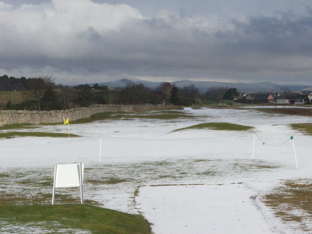
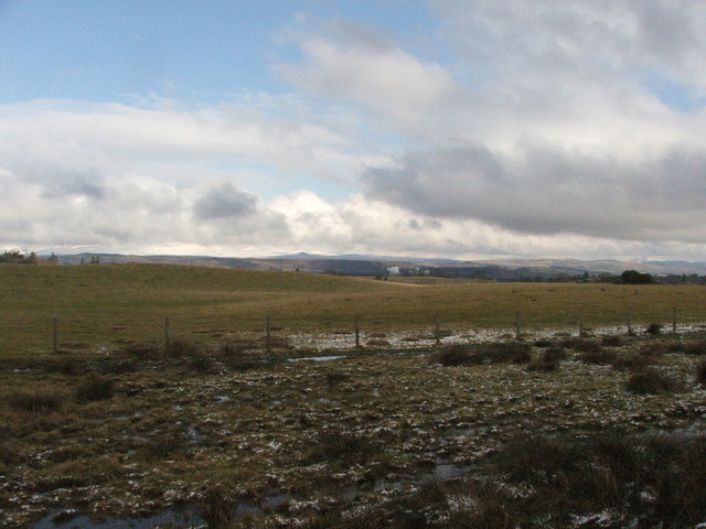
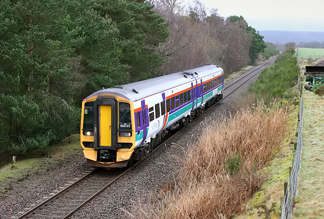
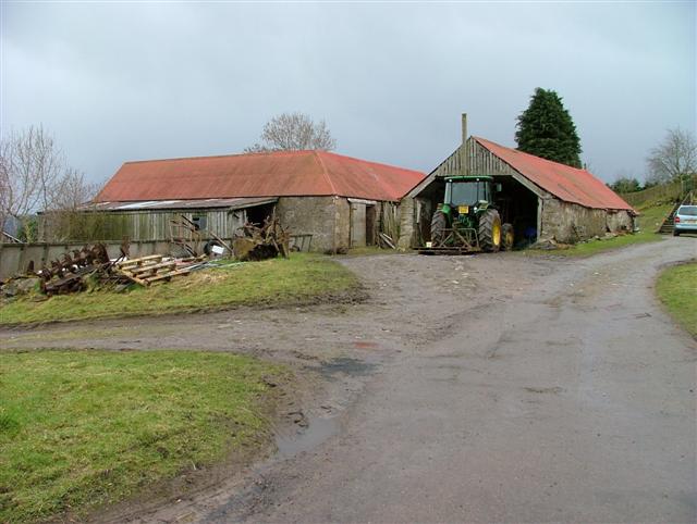
Aultvaich Images
Images are sourced within 2km of 57.501487/-4.487021 or Grid Reference NH5148. Thanks to Geograph Open Source API. All images are credited.


Aultvaich is located at Grid Ref: NH5148 (Lat: 57.501487, Lng: -4.487021)
Unitary Authority: Highland
Police Authority: Highlands and Islands
What 3 Words
///unopposed.doted.danger. Near Beauly, Highland
Nearby Locations
Related Wikis

Ardnagrask
Ardnagrask (Scottish Gaelic: Àird nan Crasg) is a rural area near to Muir of Ord in Highland, Scotland. == References ==
Windhill
Windhill (Scottish Gaelic: Cnoc na Gaoithe) is a hamlet in Ross and Cromarty, in the Highland council area of Scotland, about halfway between the villages...
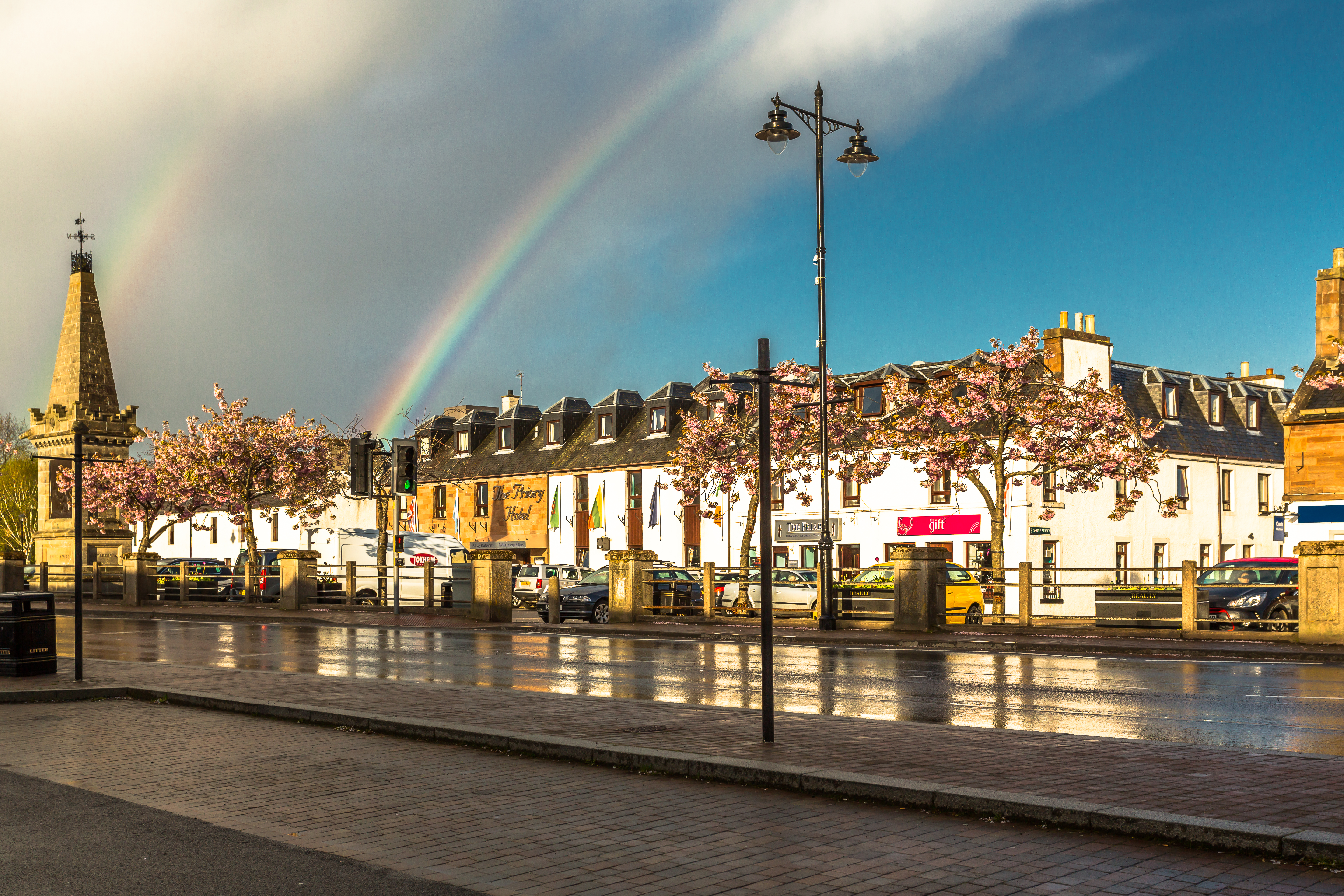
Beauly
Beauly ( BEW-lee; from French beau lieu 'beautiful place'; Scottish Gaelic: A' Mhanachainn) is a village in the Highland area, on the River Beauly, 12...

Muir of Ord railway station
Muir of Ord railway station is a railway station on the Kyle of Lochalsh Line and the Far North Line, serving the village of Muir of Ord in the Highland...

Glen Ord Distillery
Glen Ord distillery is a whisky distillery in the Scottish Highlands and is the only remaining single malt scotch whisky distillery on the Black Isle.Glen...

Muir of Ord
Muir of Ord (Scottish Gaelic: Am Blàr Dubh) is a village in Easter Ross, in the Highland council area of Scotland. It is situated near the western end...
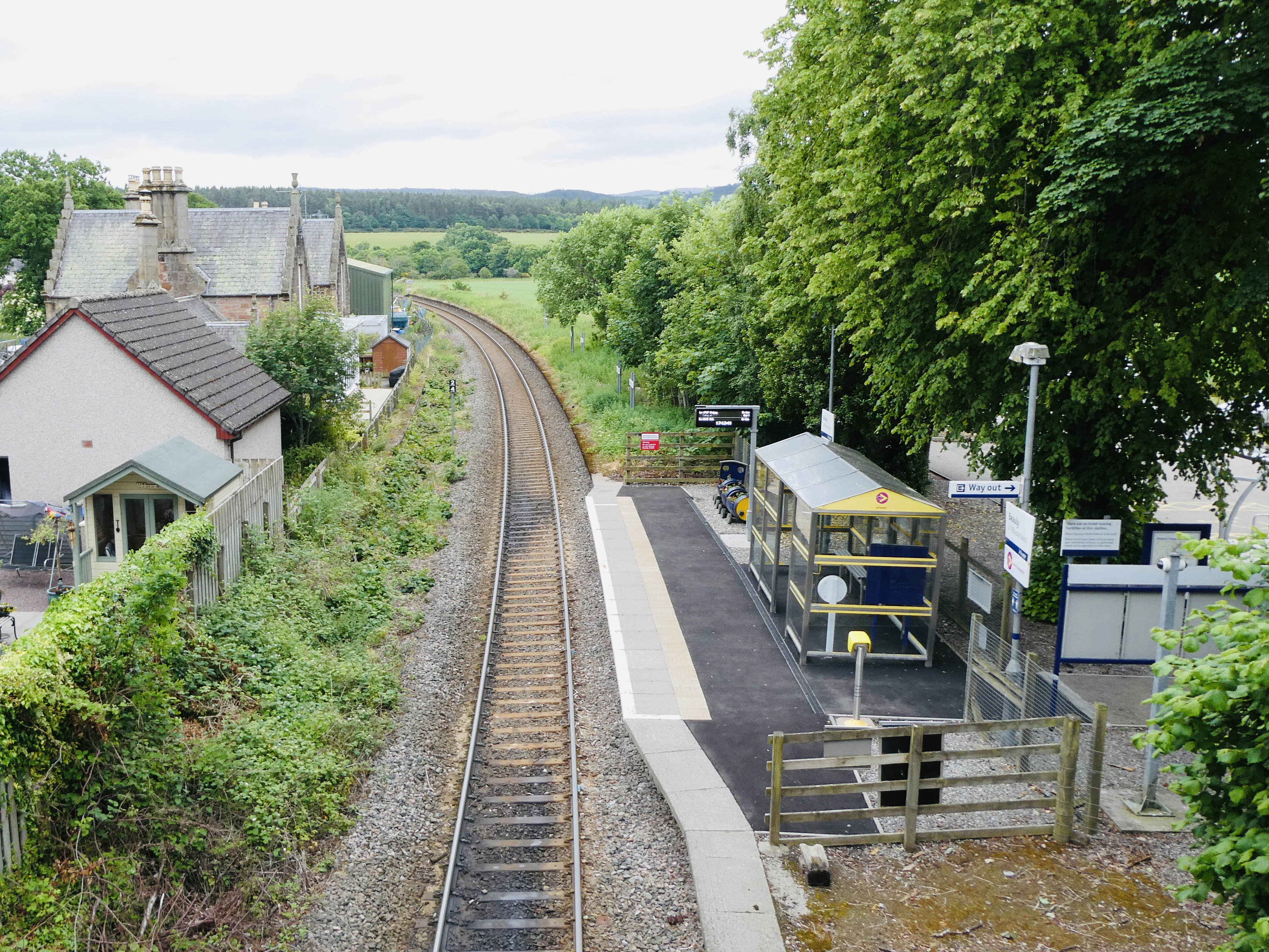
Beauly railway station
Beauly railway station is a railway station in the village of Beauly, in the Highland council area of Scotland. Located on the Far North Line, it is 10...

Loch nam Bonnach
Loch nam Bonnach (meaning "Lake of Bannocks" in Scottish Gaelic) is a remote mountain loch, situated on the edge of Farley Wood in the Highland council...
Nearby Amenities
Located within 500m of 57.501487,-4.487021Have you been to Aultvaich?
Leave your review of Aultvaich below (or comments, questions and feedback).