Mill Pond
Lake, Pool, Pond, Freshwater Marsh in Lincolnshire South Kesteven
England
Mill Pond
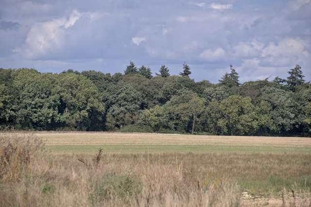
Mill Pond is a picturesque freshwater body located in the county of Lincolnshire, England. Nestled amidst the rolling hills and lush greenery, it serves as a popular recreational spot for both locals and tourists alike. The pond covers an area of approximately 5 acres, making it a significant water feature in the region.
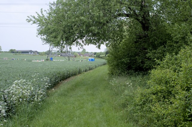
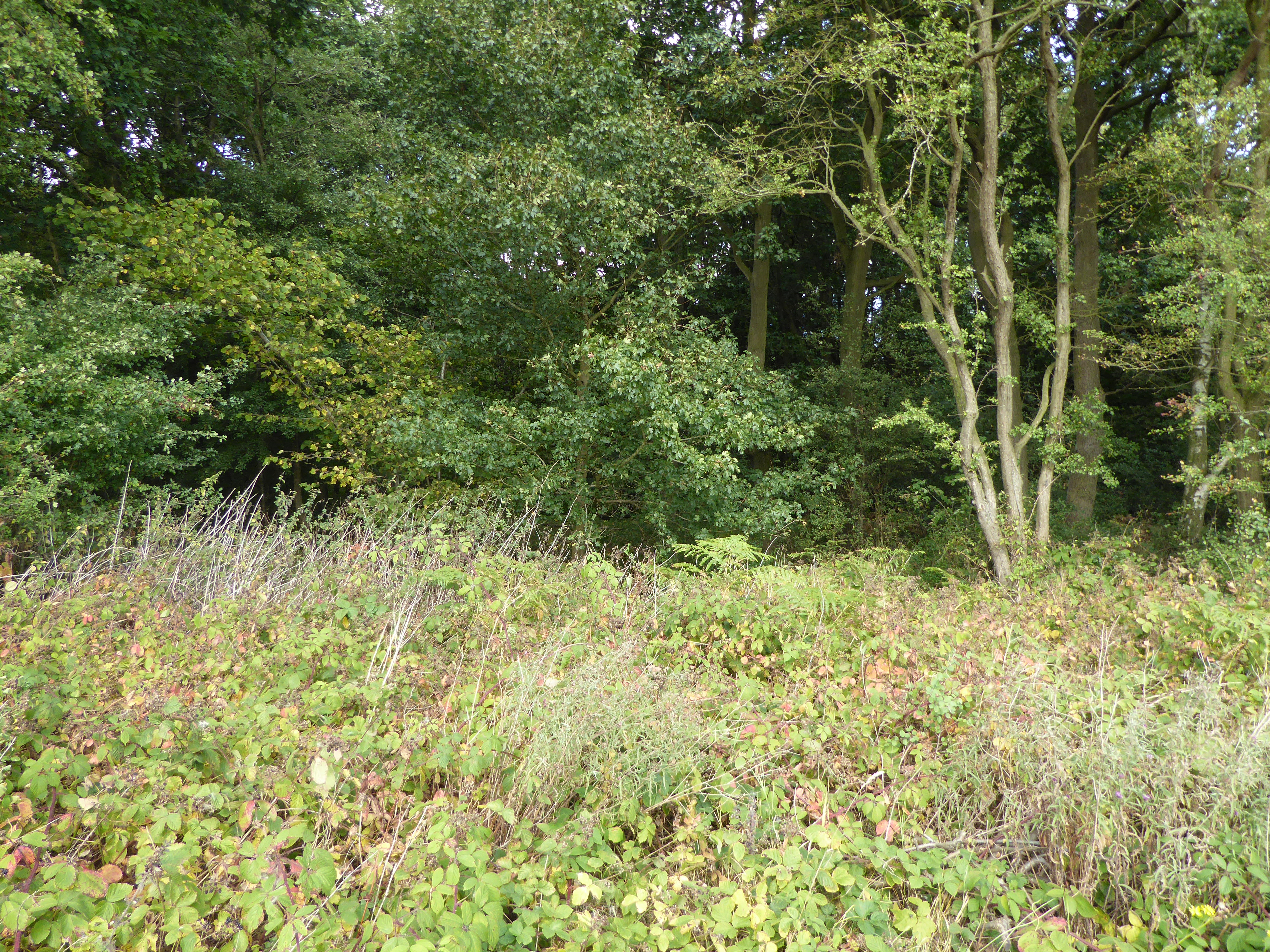
Surrounded by dense vegetation, Mill Pond is a haven for various flora and fauna species. The crystal-clear waters teem with aquatic life, including fish, amphibians, and waterfowl. It is not uncommon to spot vibrant dragonflies gliding above the surface, adding to the serene ambiance of the pond.
The pond's calm and tranquil atmosphere makes it an ideal location for fishing enthusiasts. Anglers can be seen casting their lines in hopes of catching an assortment of fish species, such as perch, roach, and bream. The pond's diverse ecosystem creates a thriving habitat for these fish, ensuring a rewarding fishing experience.
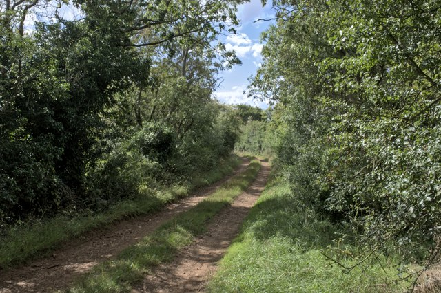
Visitors can also enjoy leisurely walks around the perimeter of Mill Pond, taking in the stunning vistas and observing the abundant wildlife. The surrounding landscape is adorned with wildflowers, creating a vibrant and colorful backdrop. Additionally, benches and picnic areas are scattered around the pond, providing a perfect spot for relaxation and enjoying a picnic.
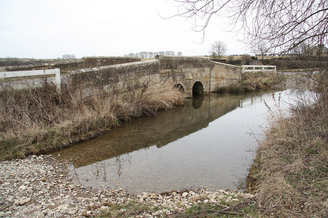
Mill Pond is not only a natural gem but also holds historical significance. It has been a part of the local community for centuries, serving as a water source for nearby villages and mills in the past. Today, it continues to be cherished as an enchanting oasis for nature lovers, offering a peaceful retreat from the hustle and bustle of everyday life.
If you have any feedback on the listing, please let us know in the comments section below.
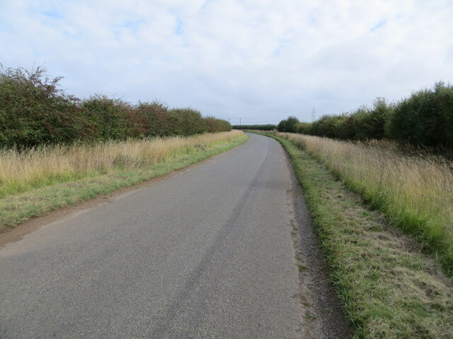
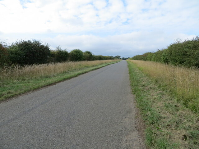
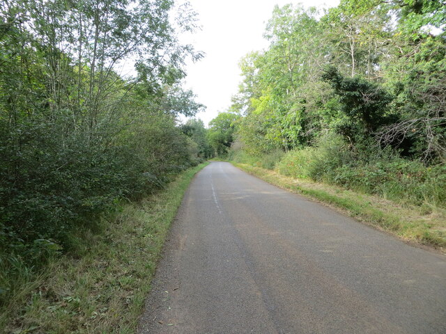
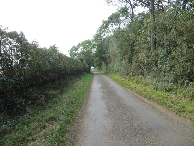
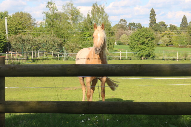
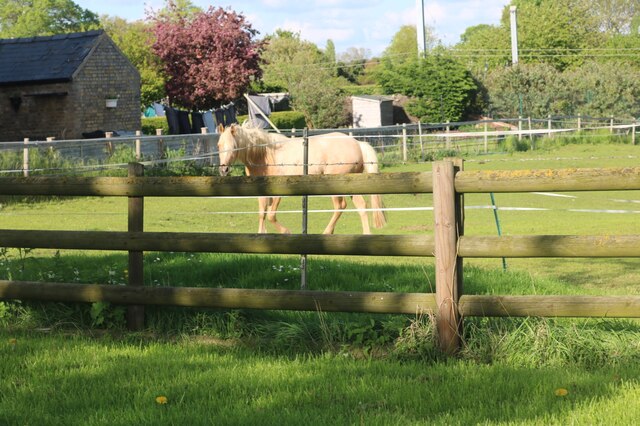
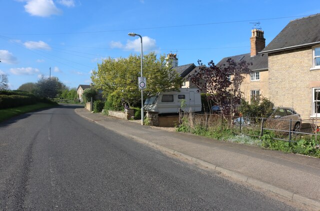
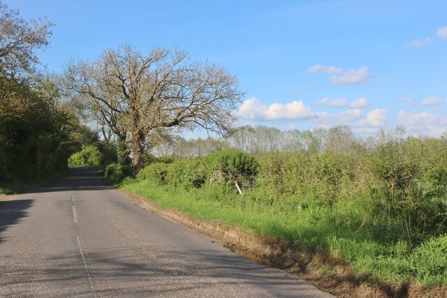
Mill Pond Images
Images are sourced within 2km of 52.722973/-0.49065287 or Grid Reference TF0214. Thanks to Geograph Open Source API. All images are credited.


Mill Pond is located at Grid Ref: TF0214 (Lat: 52.722973, Lng: -0.49065287)
Administrative County: Lincolnshire
District: South Kesteven
Police Authority: Lincolnshire
What 3 Words
///unlocking.stove.stole. Near Pickworth, Rutland
Nearby Locations
Related Wikis
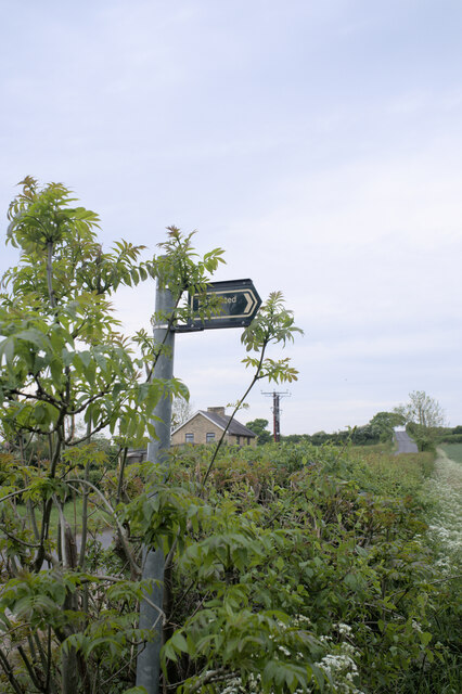
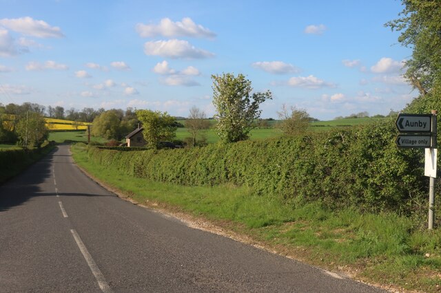
Aunby
Aunby is a village in the parish of Careby Aunby and Holywell, in the South Kesteven district of Lincolnshire, England. It is situated north from Stamford...

Careby Aunby and Holywell
Careby Aunby and Holywell is a civil parish in the district of South Kesteven, south-west Lincolnshire, in England. It stretches from the county border...

Ryhall Pasture and Little Warren Verges
Ryhall Pasture and Little Warren Verges is a 6.2-hectare (15-acre) biological Site of Special Scientific Interest north of the village of Ryhall. Little...

Careby
Careby is the principal village in the a civil parish of Careby Aunby and Holywell [in which the population is included] in the South Kesteven district...
Newell Wood
Newell Wood is a 33.3-hectare (82-acre) biological Site of Special Scientific Interest east of Pickworth in Rutland, adjacent to Lincolnshire Gate. This...
Holywell, Lincolnshire
Holywell is a tiny settlement in the civil parish of Careby Aunby and Holywell, in the South Kesteven district of Lincolnshire, England. It lies 5.5 miles...

Lincolnshire Gate
Lincolnshire Gate is the name given to a corner in the road between Holywell, Lincolnshire and Pickworth, Rutland to the south-west of Castle Bytham, in...
Holywell Hall, Lincolnshire
Holywell Hall is a building of historical significance in Lincolnshire and is listed on the English Heritage Register. The house is in the civil parish...
Nearby Amenities
Located within 500m of 52.722973,-0.49065287Have you been to Mill Pond?
Leave your review of Mill Pond below (or comments, questions and feedback).