Carper's Pond
Lake, Pool, Pond, Freshwater Marsh in Surrey Waverley
England
Carper's Pond
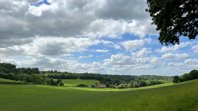
Carper's Pond is a small freshwater marsh located in Surrey, England. It is a tranquil and picturesque body of water, surrounded by lush greenery and diverse wildlife. Despite its name, Carper's Pond is often referred to as a lake due to its size and scenic beauty.
The pond covers an area of approximately 10 acres and is fed by natural springs and rainwater. It is home to a variety of aquatic plants such as water lilies, reeds, and cattails, which provide shelter and food for numerous species of birds, insects, and amphibians.
The pond is a popular spot for birdwatchers as it attracts a wide range of avian species throughout the year. Visitors can spot common birds like ducks, geese, and swans, as well as more rare and elusive species such as herons and kingfishers. The surrounding vegetation also supports a diverse insect population, making it a haven for dragonflies, butterflies, and damselflies.
Carper's Pond offers a peaceful retreat for nature enthusiasts and provides opportunities for recreational activities such as fishing and boating. Fishing enthusiasts can find species like carp, roach, and tench, making it a popular spot for angling. The calm waters of the pond also make it suitable for canoeing and kayaking.
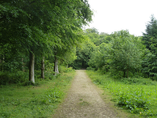
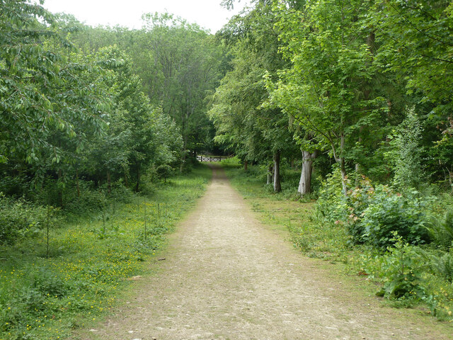
The pond is easily accessible, with a car park nearby and well-maintained footpaths around its perimeter. It is a designated nature reserve, managed by the local authorities to preserve its natural beauty and protect its inhabitants.
Overall, Carper's Pond is a charming freshwater marsh that offers a serene escape from the hustle and bustle of city life. Its diverse ecosystem and tranquil setting make it a haven for both wildlife and visitors seeking a peaceful connection with nature.
If you have any feedback on the listing, please let us know in the comments section below.
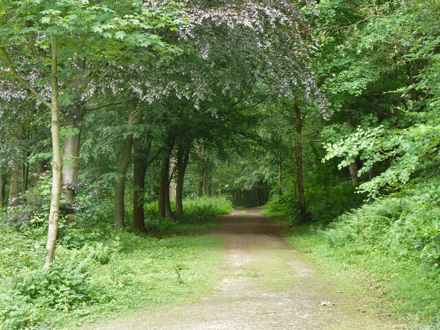
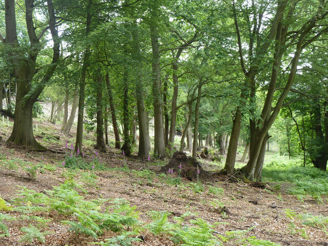
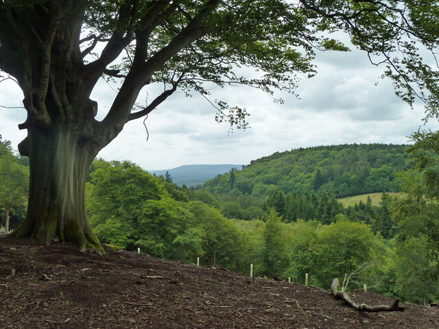
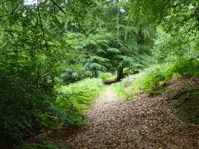
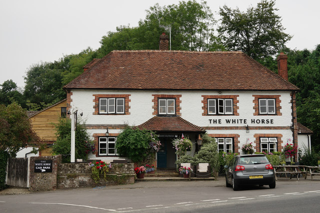
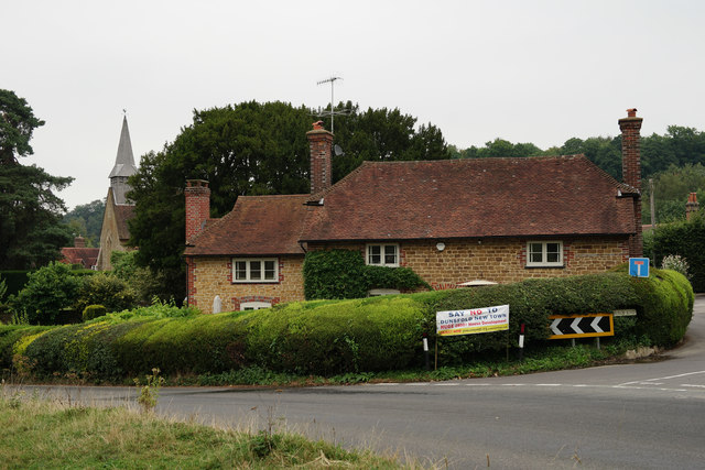
Carper's Pond Images
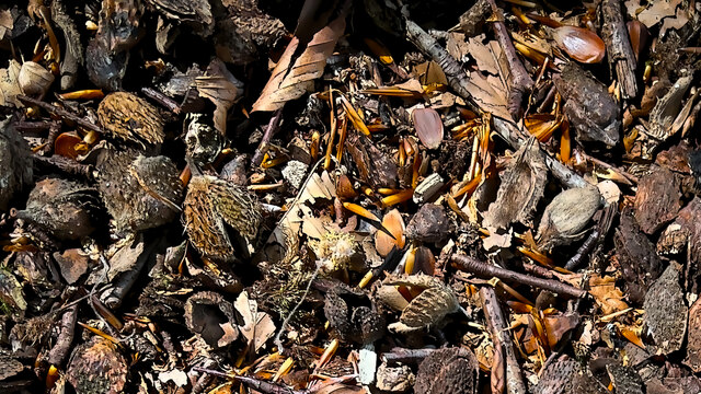
Images are sourced within 2km of 51.147969/-0.54233838 or Grid Reference TQ0239. Thanks to Geograph Open Source API. All images are credited.


Carper's Pond is located at Grid Ref: TQ0239 (Lat: 51.147969, Lng: -0.54233838)
Administrative County: Surrey
District: Waverley
Police Authority: Surrey
What 3 Words
///inefficient.erupted.munched. Near Cranleigh, Surrey
Nearby Locations
Related Wikis

Hascombe Hill
Hascombe Hill or Hascombe Camp is the site of an Iron Age multivallate hill fort close to the village of Hascombe in Surrey, England. == History == The...

Hascombe
Hascombe is a village and civil parish in Surrey, England. It is around 3 miles (4.8 km) southeast of Godalming in the Borough of Waverley. The settlement...

Hascombe Court
Hascombe Court is a 172-acre (70 ha) estate in Hascombe, Surrey, best known for its vast garden designed by Gertrude Jekyll. Hascombe Court is listed Grade...

Winkworth Arboretum
Winkworth Arboretum is a National Trust-owned arboretum in the spread-out civil parish of Busbridge between Godalming and Hascombe, south-west Surrey,...
Have you been to Carper's Pond?
Leave your review of Carper's Pond below (or comments, questions and feedback).