Westminster Pond

Lake, Pool, Pond, Freshwater Marsh in Bedfordshire

England

Westminster Pond

Center Parcs Center Parcs Woburn Forest
Center Parcs Credit: David Robinson

Westminster Pond, located in Bedfordshire, is a scenic freshwater marsh that is often referred to as a pond due to its small size. It is a popular destination for nature enthusiasts and locals seeking a peaceful retreat, offering a tranquil environment for various outdoor activities.

Spanning an area of approximately 10 acres, Westminster Pond features crystal clear water surrounded by lush vegetation and diverse wildlife. The pond is fed by natural springs and streams, ensuring a constant flow of fresh water. Its depth varies throughout the year, ranging from a few feet in the shallower areas to around 20 feet in the deeper sections.

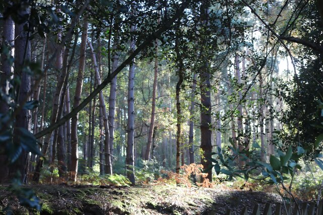
The pond is home to a wide range of plant and animal species, creating a rich and biodiverse ecosystem. Visitors can expect to spot various aquatic plants, including water lilies and reeds, providing a picturesque backdrop. Additionally, the pond supports a diverse array of wildlife, such as ducks, geese, swans, and various species of fish.

The tranquil atmosphere of Westminster Pond makes it an ideal location for fishing, with anglers often congregating at its shores. Commonly caught fish species include carp, roach, and perch. Fishing permits are required and can be obtained from the local authorities.

Surrounding the pond, there are designated walking trails that allow visitors to explore the marshland and its diverse flora and fauna. These trails provide excellent opportunities for birdwatching and nature photography.

Westminster Pond in Bedfordshire offers a serene and picturesque setting, making it a favored destination for those seeking a quiet escape in nature.

If you have any feedback on the listing, please let us know in the comments section below.

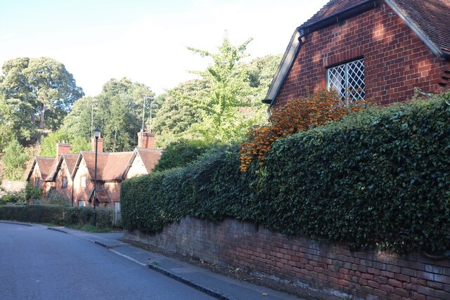
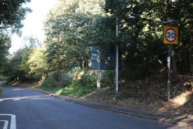
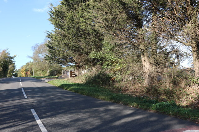
Westminster Pond Images

Images are sourced within 2km of 52.033185/-0.51286785 or Grid Reference TL0238. Thanks to Geograph Open Source API. All images are credited.

Center Parcs Center Parcs Woburn Forest
Center Parcs
Center Parcs Woburn Forest
Treehouse Holiday Lodge Treehouse accommodation, Center Parcs Woburn Forest.
Treehouse Holiday Lodge
Treehouse accommodation, Center Parcs Woburn Forest.
Holiday Lodges, Center Parcs
Christmas Bauble Sculpture, Center Parcs
Lammas Way, Ampthill Looking down Lammas Way with the new Poppy Drive development visible at the bottom of the hill.
Lammas Way, Ampthill
Looking down Lammas Way with the new Poppy Drive development visible at the bottom of the hill.
Poppy Drive, Ampthill A new housing development to the South of Ampthill.
Poppy Drive, Ampthill
A new housing development to the South of Ampthill.
Public bridleway on Jackdaw Hill (2) Forming part of the Greensand Ridge Walk and the John Bunyan Trail.
Public bridleway on Jackdaw Hill (2)
Forming part of the Greensand Ridge Walk and the John Bunyan Trail.
Public bridleway on Jackdaw Hill (3) Forming part of the Greensand Ridge Walk and the John Bunyan Trail.
Public bridleway on Jackdaw Hill (3)
Forming part of the Greensand Ridge Walk and the John Bunyan Trail.
Public bridleway on Jackdaw Hill (4) Linking the Greensand Ridge Walk and the John Bunyan Trail with the Marston Vale Trail a short distance west of their junction.
Public bridleway on Jackdaw Hill (4)
Linking the Greensand Ridge Walk and the John Bunyan Trail with the Marston Vale Trail a short distance west of their junction.
Sandhill Close, Millbrook
Houses on Sandhill Close, Millbrook
Sandhill Close, Millbrook
Fordfield Road, Flitwick
Woburn Road, Millbrook Millbrook Golf Club is on the right.
Woburn Road, Millbrook
Millbrook Golf Club is on the right.
Woburn Road west of Millbrook
Woods by Center Parc, Millbrook
Show me another place!

Westminster Pond is located at Grid Ref: TL0238 (Lat: 52.033185, Lng: -0.51286785)

Unitary Authority: Central Bedfordshire

Police Authority: Bedfordshire

What 3 Words

///copy.tall.ownership. Near Millbrook, Bedfordshire

Nearby Locations

Westminster Pond

Related Wikis

Ampthill Tunnel

Ampthill tunnel is a railway tunnel at Ampthill on the Midland Main Line, being positioned between Bedford and Flitwick. It consists of two separate bores...

Ampthill Town F.C.

Ampthill Town Football Club is a football club based in Ampthill, Bedfordshire, England. The club are currently members of Spartan South Midlands League...

Millbrook Priory

Millbrook Priory was a priory in Bedfordshire, England. It was established in 1097 and disestablished in 1143. The little Priory of Beaulieu at Moddry...

Cooper's Hill, Bedfordshire

Cooper's Hill is an 18.1-hectare (45-acre) biological Site of Special Scientific Interest in Ampthill in Bedfordshire. It was notified under Section 28...

Ampthill Park

Ampthill Park and Ampthill Park House is a country estate in Ampthill, Bedfordshire, England. The park was opened to the public after the Second World...

Millbrook, Bedfordshire

Millbrook is a small village and civil parish near Bedford, England. It has a population of 130, increasing to 147 at the 2011 Census. Millbrook railway...

Ampthill railway station

Ampthill railway station was built over a mile from the historic market town of Ampthill in the English county of Bedfordshire by the Midland Railway in...

Ampthill Rural District

Ampthill was a rural district in Bedfordshire, England from 1894 to 1974. It entirely surrounded but did not include the urban district of Ampthill. The...

Nearby Amenities

Located within 500m of 52.033185,-0.51286785
Power: tower
Lat/Long: 52.0301653/-0.5159582
Power: tower
Lat/Long: 52.0333078/-0.5154845
Power: tower
Lat/Long: 52.0360762/-0.5151581
Access: no
Barrier: kissing_gate
Foot: yes
Material: wood
Lat/Long: 52.0330828/-0.5078845
Barrier: kissing_gate
Foot: yes
Lat/Long: 52.0329501/-0.508669
Katherine's Cross
Historic: memorial
Source: Bing, GPS
Wikidata: Q26408213
Lat/Long: 52.0345329/-0.5075788
Barrier: swing_gate
Lat/Long: 52.0366407/-0.508704
Ampthill Camp Memorial Cross
Historic: memorial
Source: Bing, GPS
Lat/Long: 52.0341125/-0.5061154
Barrier: swing_gate
Lat/Long: 52.0338185/-0.5112704
Barrier: swing_gate
Lat/Long: 52.0364075/-0.5103627
Ampthill Park
Leisure: park
Lat/Long: 52.0330119/-0.511132
Waste Basket
Waste: dog_excrement
Lat/Long: 52.0343379/-0.5090159
Colour: red and white
Marker: aerial
Material: plastic
Utility: gas
Lat/Long: 52.03291/-0.5151336
Colour: red and white
Marker: aerial
Material: plastic
Utility: gas
Lat/Long: 52.0329331/-0.51481
Colour: red
Marker: post
Material: concrete
Utility: gas
Lat/Long: 52.0330993/-0.5148134
Colour: red and white
Marker: aerial
Material: plastic
Utility: gas
Lat/Long: 52.0323439/-0.5183104
Colour: red
Marker: post
Material: plastic
Utility: gas
Lat/Long: 52.0325453/-0.5182414
Colour: yellow
Marker: post
Material: concrete
Utility: gas
Lat/Long: 52.0323682/-0.5182966
Colour: yellow
Marker: post
Material: concrete
Utility: gas
Lat/Long: 52.0329333/-0.5148225
Man Made: street_cabinet
Utility: yes;gas
Lat/Long: 52.033079/-0.5150717
Barrier: swing_gate
Lat/Long: 52.0345022/-0.5116689
Ampthill Park
Leisure: park
Lat/Long: 52.0346099/-0.5129146
Waste Basket
Waste: dog_excrement
Lat/Long: 52.0330821/-0.5079048
Waste Basket
Waste: dog_excrement
Lat/Long: 52.0329579/-0.508643
The data included in this document is from www.openstreetmap.org. The data is made available under ODbL.

Have you been to Westminster Pond?

Leave your review of Westminster Pond below (or comments, questions and feedback).