West Beacon Point
Coastal Feature, Headland, Point in Pembrokeshire
Wales
West Beacon Point
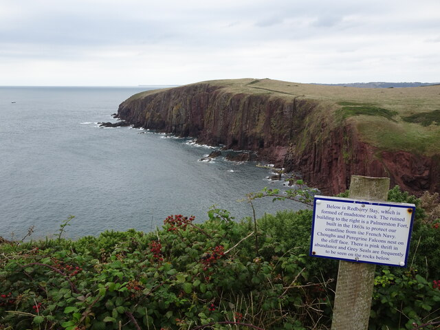
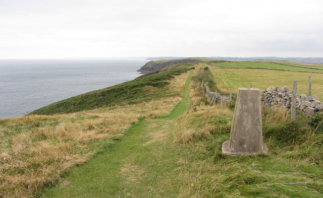
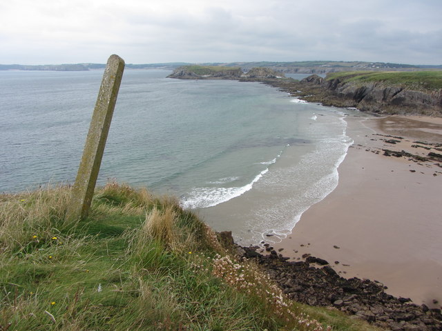
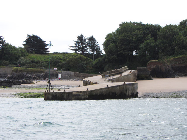
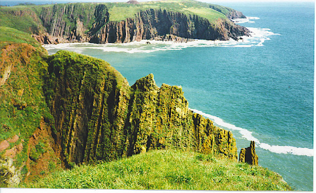
West Beacon Point is a prominent coastal feature located in Pembrokeshire, Wales. It is a rugged headland that juts out into the Celtic Sea, offering breathtaking views of the surrounding coastline. The point is characterized by its towering cliffs, which reach heights of up to 120 meters, providing a dramatic backdrop to the crashing waves below.
The headland is formed by a combination of sedimentary rocks, including sandstone and shale, which have been shaped over millions of years by the relentless forces of erosion. This geological composition gives the area its unique and stunning rock formations, with intricate patterns and layers visible along the cliffs.
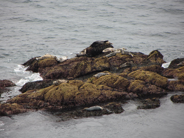
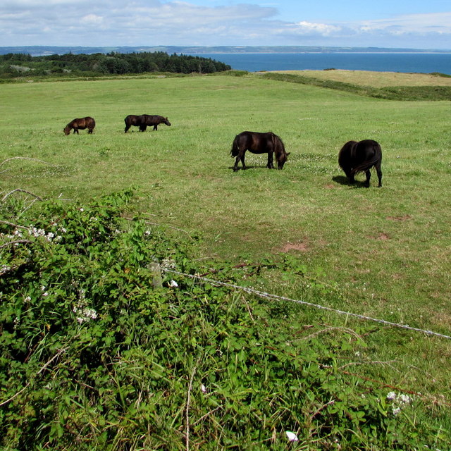
West Beacon Point is renowned for its rich biodiversity and is designated as a Site of Special Scientific Interest (SSSI). The rugged terrain and exposed position create a variety of habitats, attracting a diverse range of plant and animal species. Seabird colonies, such as guillemots and razorbills, can be observed nesting on the cliffs during the breeding season, while peregrine falcons can be seen soaring above.
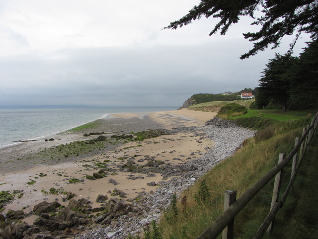
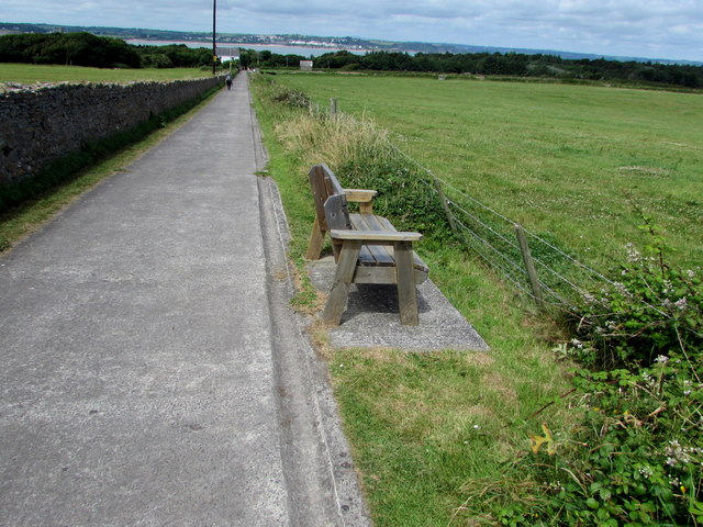
The point is also a popular destination for outdoor enthusiasts, offering opportunities for hiking, birdwatching, and photography. A coastal footpath runs along the top of the cliffs, providing access to stunning viewpoints and hidden coves. The area is well-maintained, with designated paths and signposts to ensure visitor safety.
Overall, West Beacon Point is a captivating and picturesque headland, offering a unique blend of natural beauty, geological interest, and wildlife diversity. Whether exploring its rugged cliffs or simply admiring the panoramic views, visitors are sure to be captivated by the untamed charm of this coastal feature in Pembrokeshire.
If you have any feedback on the listing, please let us know in the comments section below.
West Beacon Point Images
Images are sourced within 2km of 51.633261/-4.7013542 or Grid Reference SS1396. Thanks to Geograph Open Source API. All images are credited.
West Beacon Point is located at Grid Ref: SS1396 (Lat: 51.633261, Lng: -4.7013542)
Unitary Authority: Pembrokeshire
Police Authority: Dyfed Powys
What 3 Words
///stutter.koala.blissful. Near Penally, Pembrokeshire
Nearby Locations
Related Wikis

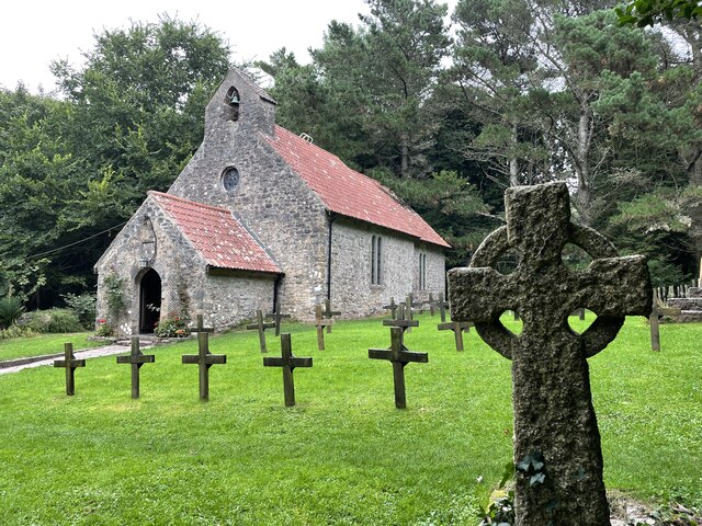
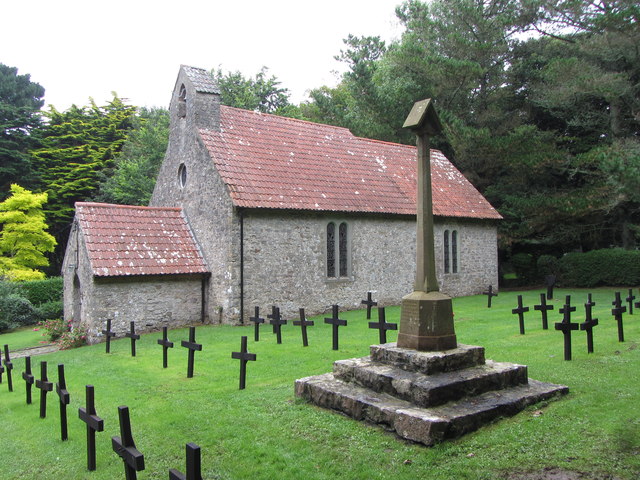
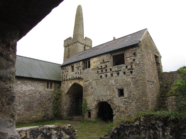
Caldey Priory
Caldey Priory is a Grade I-listed priory on Caldey Island off the coast of Pembrokeshire, Wales, some 300 metres (330 yd) south of the modern Caldey Abbey...
Caldey Island
Caldey Island (Welsh:Ynys Bŷr) is a small island near Tenby, Pembrokeshire, Wales, less than 1 mile (1.6 km) off the coast. With a recorded history going...

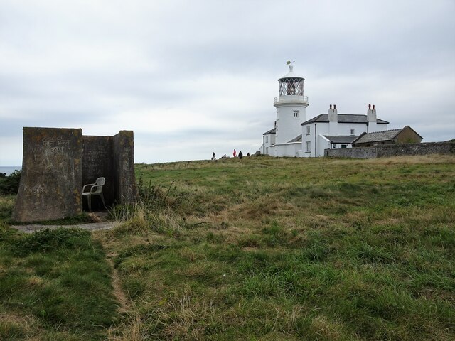
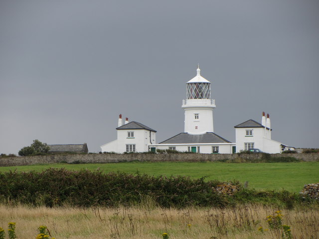
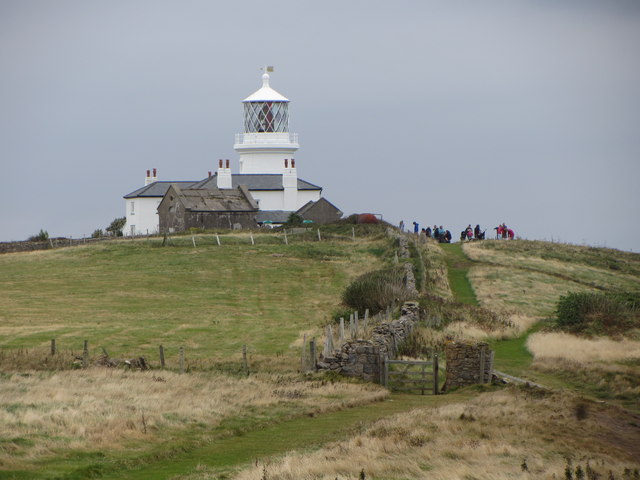
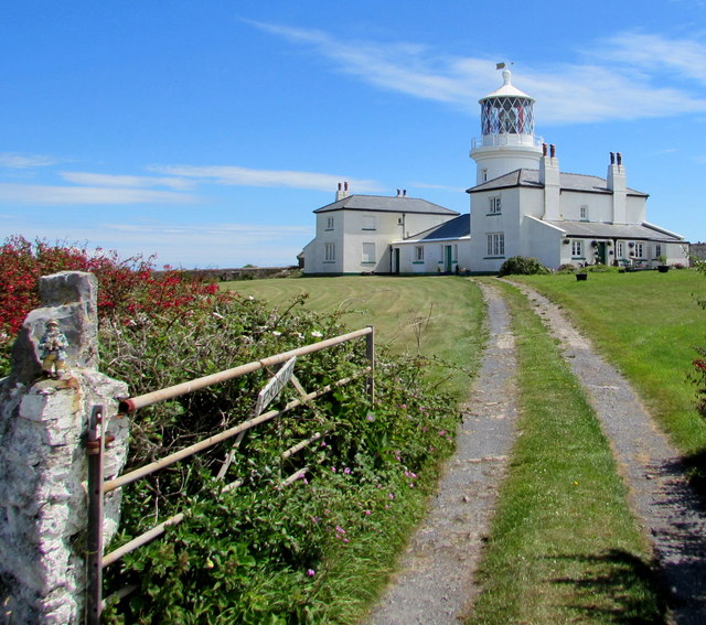
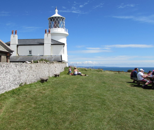
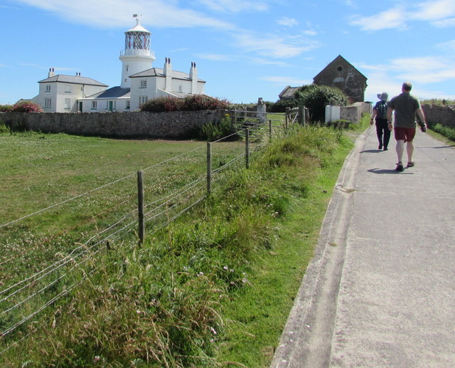
Caldey Lighthouse
Caldey Lighthouse is located on the south end of Caldey Island, three miles (5 km) off the south Pembrokeshire, Wales coastline, a small island inhabited...

Caldey Abbey
Caldey Abbey is an abbey of the Trappists situated on Caldey Island off the coast of Pembrokeshire, Wales, south of Tenby. Caldey Island has been known...
Related Videos


A visit to Caldey Island 17th of July 2021
This is a look around Caldey Island. A 20 minute boat ride from Tenby, Wales Follow my Instagram @dannyboyvids.

Caldey Island: A Day trip to Heaven?
"Caldey Island lies cradled in the magnificent South Pembrokeshire coastline on the western fringes of Wales. It is one of Britain's ...

A trip to Caldey Island - 14th of July 2022
This is a look around the amazing Island near Tenby.
Nearby Amenities
Located within 500m of 51.633261,-4.7013542Have you been to West Beacon Point?
Leave your review of West Beacon Point below (or comments, questions and feedback).