Cemaes Head
Coastal Feature, Headland, Point in Pembrokeshire
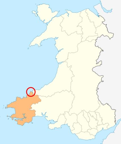
Wales
Cemaes Head

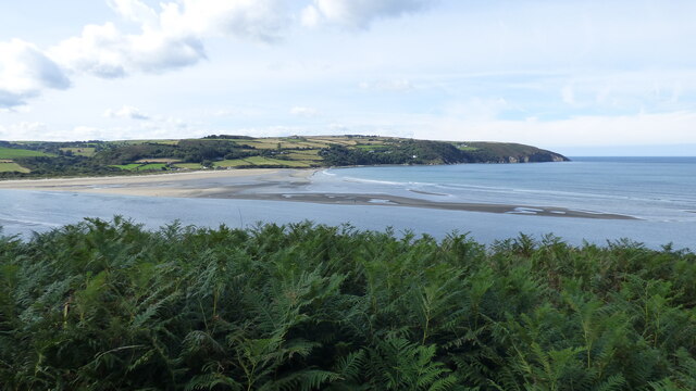
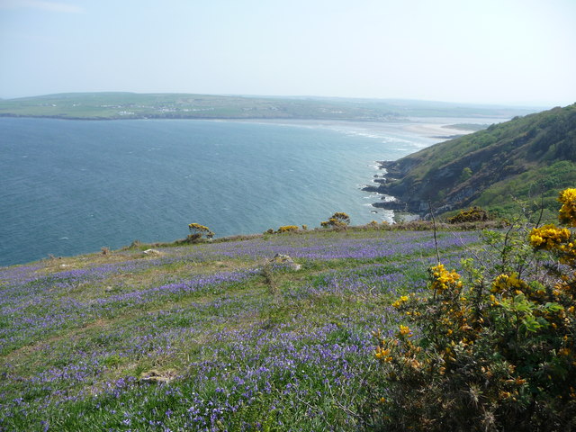
Cemaes Head is a prominent headland located on the western coast of Pembrokeshire, Wales. It is situated approximately 4 miles northwest of the town of Fishguard and is part of the Pembrokeshire Coast National Park. The headland juts out into the Celtic Sea and offers breathtaking views of the surrounding coastline.
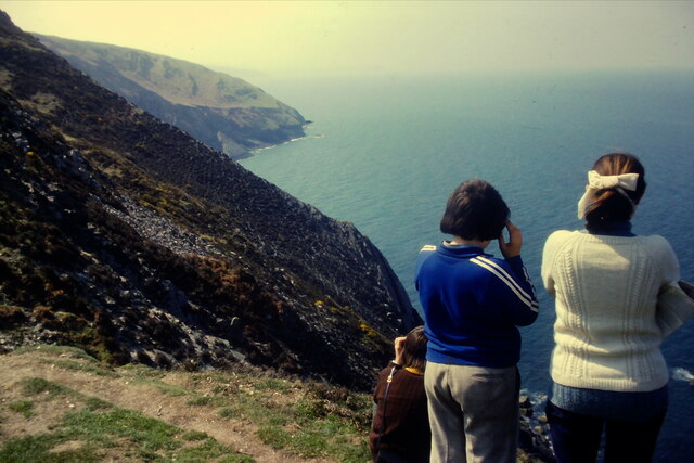
Cemaes Head is characterized by its rugged cliffs, which rise to a height of approximately 150 meters above sea level. The cliffs are composed of sedimentary rock, primarily sandstone and shale, which have been shaped by the relentless action of the waves over millions of years. The headland is also home to a diverse range of flora and fauna, including seabirds, seals, and various species of wildflowers.
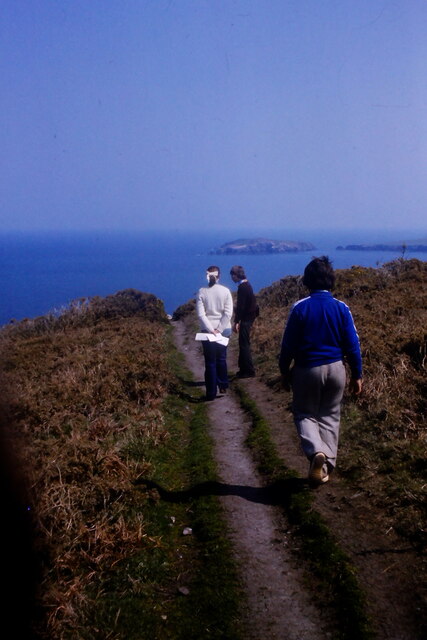
One of the main attractions of Cemaes Head is the coastal path that runs along its edge, providing visitors with a stunning vantage point to admire the dramatic scenery and observe the abundant wildlife. The path is well-maintained and offers access to several secluded coves and sandy beaches, which are perfect for picnicking, swimming, and exploring.
In addition to its natural beauty, Cemaes Head also has a rich historical and cultural heritage. The headland is dotted with ancient ruins, including the remains of Iron Age hillforts and a medieval chapel, which offer a glimpse into the area's past. Furthermore, the headland is steeped in folklore and legends, adding to its mystique and allure.
Overall, Cemaes Head is a captivating coastal feature that combines stunning natural scenery with rich history and abundant wildlife, making it a must-visit destination for nature enthusiasts and history buffs alike.
If you have any feedback on the listing, please let us know in the comments section below.
Cemaes Head Images
Images are sourced within 2km of 52.117063/-4.72981 or Grid Reference SN1350. Thanks to Geograph Open Source API. All images are credited.


Cemaes Head is located at Grid Ref: SN1350 (Lat: 52.117063, Lng: -4.72981)
Unitary Authority: Pembrokeshire
Police Authority: Dyfed Powys
What 3 Words
///rinse.jumped.piglets. Near Cardigan, Ceredigion
Nearby Locations
Related Wikis
Cemaes Head
Cemaes Head (formerly Cemais, and historically anglicised as Cemmaes, Kemmaes or Kemmes) (Welsh: Pen Cemaes or Trwyn Cemaes) is a headland and nature reserve...
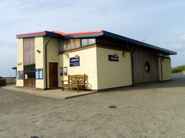
Cardigan Lifeboat Station
Cardigan Lifeboat Station, at Poppit Sands, North Pembrokeshire, near Cardigan, Ceredigion, Wales, is a Royal National Lifeboat Institution (RNLI) lifeboat...
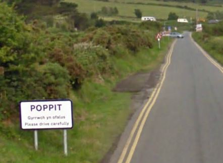
Poppit Sands
Poppit (Welsh: Poppit) is a small, dispersed settlement which lies on the southern side of the estuary of the River Teifi, near Cardigan, in northern Pembrokeshire...

Gwbert
Gwbert (Welsh pronunciation: [ˈɡubɛrt]), also known as Gwbert-on-Sea, is a cliff-top coastal village in Y Ferwig community, Ceredigion, Wales. It lies...
Nearby Amenities
Located within 500m of 52.117063,-4.72981Have you been to Cemaes Head?
Leave your review of Cemaes Head below (or comments, questions and feedback).