Shag Stack
Coastal Feature, Headland, Point in Pembrokeshire
Wales
Shag Stack
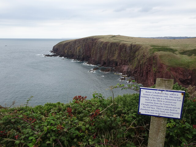
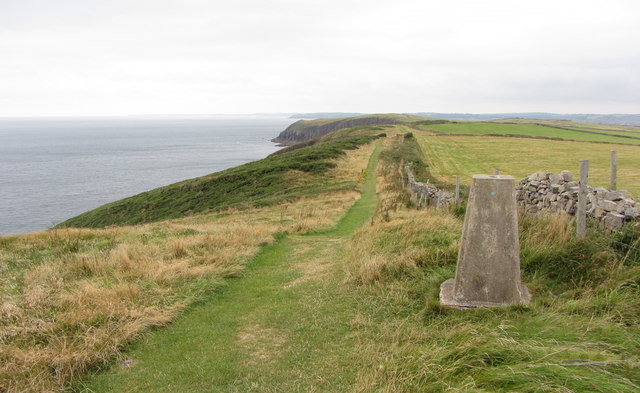
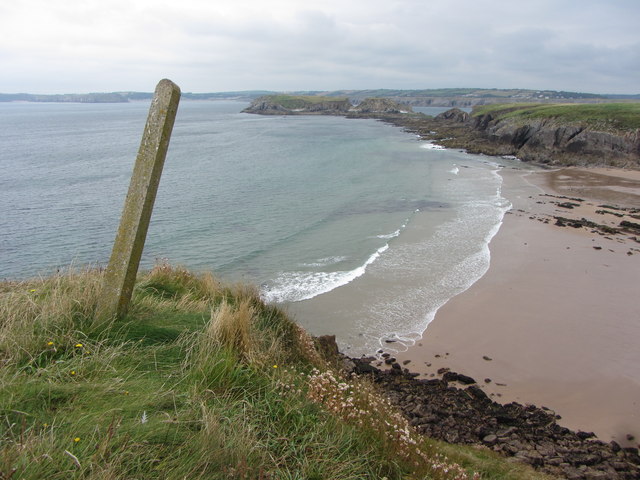
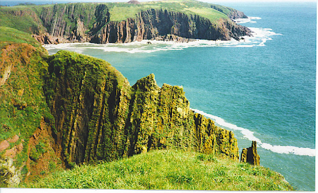
Shag Stack is a prominent coastal feature located in Pembrokeshire, Wales. It is a headland or point that juts out into the sea, offering stunning views of the surrounding coastline. The stack itself is a tall, vertical rock formation rising from the water, resembling a large column or pillar.
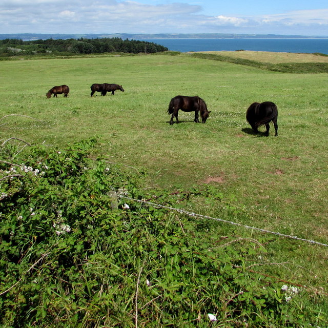
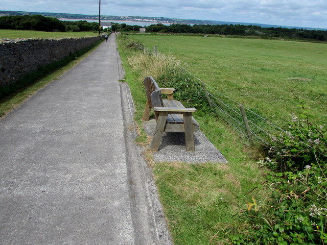
Situated within the Pembrokeshire Coast National Park, Shag Stack is a popular destination for nature enthusiasts, hikers, and photographers. Accessible via a scenic coastal path, visitors can enjoy a leisurely walk while taking in the breathtaking vistas and diverse wildlife.
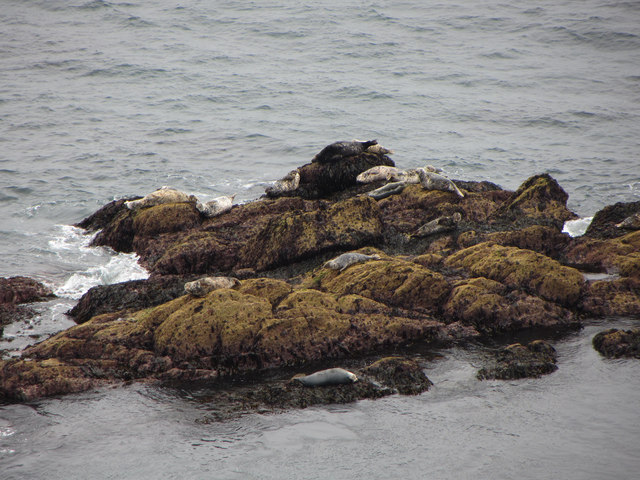
The headland is known for its rich biodiversity, with a variety of seabirds nesting on the cliffs, including puffins, guillemots, and, of course, shags, which gave the feature its name. These birds can often be seen perched on the rocks or diving into the sea in search of fish.
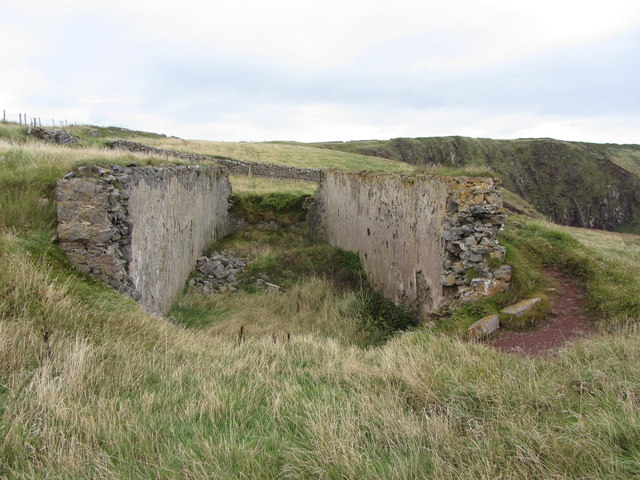
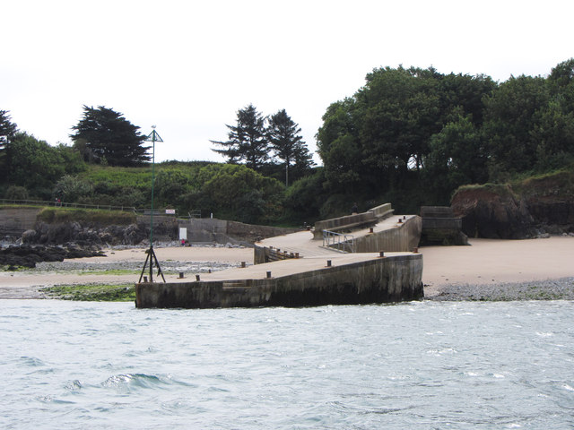
In addition to its natural beauty, Shag Stack holds historical significance. It is believed to have been a lookout point during World War II, offering strategic views of the coastline. Visitors can still see remnants of the lookout posts and concrete structures that were used during that time.
Overall, Shag Stack in Pembrokeshire is a remarkable coastal feature that showcases the stunning beauty of the region. With its dramatic rock formations, diverse wildlife, and historical significance, it provides a captivating experience for all who visit.
If you have any feedback on the listing, please let us know in the comments section below.
Shag Stack Images
Images are sourced within 2km of 51.632731/-4.6989671 or Grid Reference SS1396. Thanks to Geograph Open Source API. All images are credited.
Shag Stack is located at Grid Ref: SS1396 (Lat: 51.632731, Lng: -4.6989671)
Unitary Authority: Pembrokeshire
Police Authority: Dyfed Powys
What 3 Words
///polygraph.catchers.embers. Near Penally, Pembrokeshire
Nearby Locations
Related Wikis

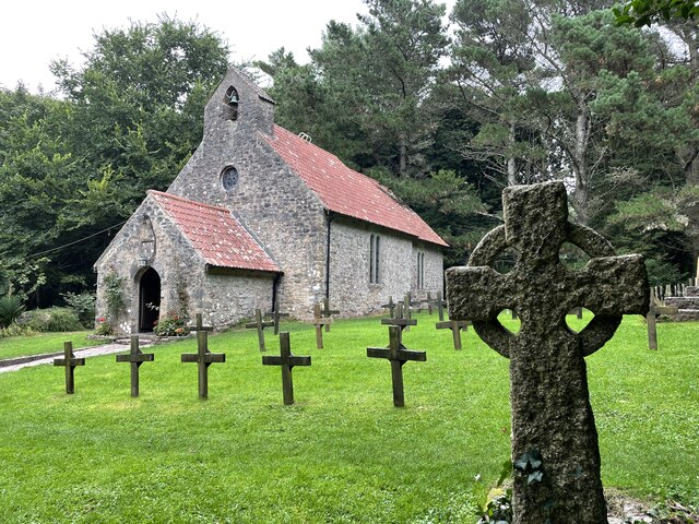
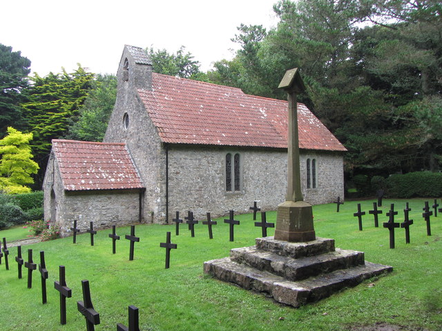
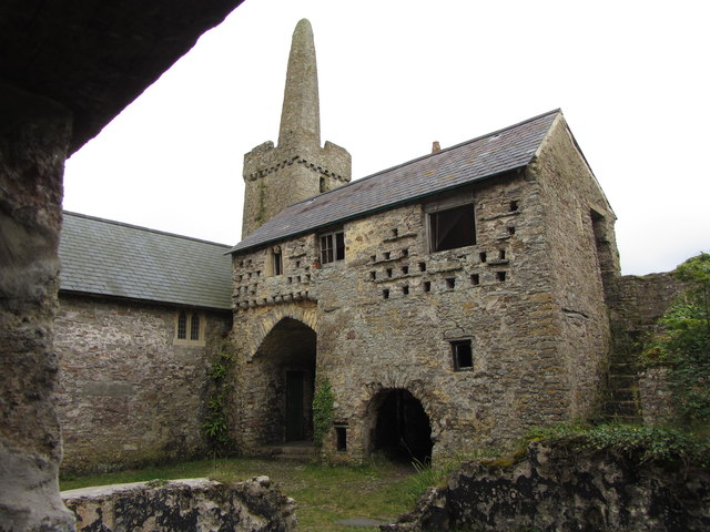
Caldey Priory
Caldey Priory is a Grade I-listed priory on Caldey Island off the coast of Pembrokeshire, Wales, some 300 metres (330 yd) south of the modern Caldey Abbey...
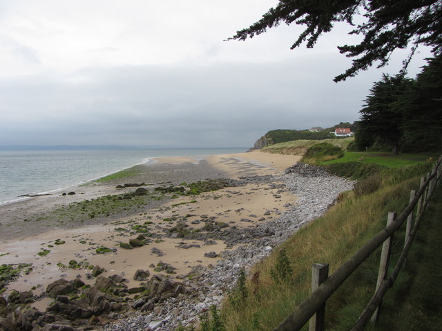
Caldey Island
Caldey Island (Welsh:Ynys Bŷr) is a small island near Tenby, Pembrokeshire, Wales, less than 1 mile (1.6 km) off the coast. With a recorded history going...

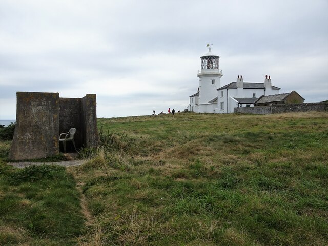
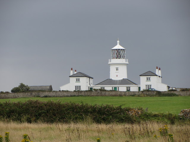
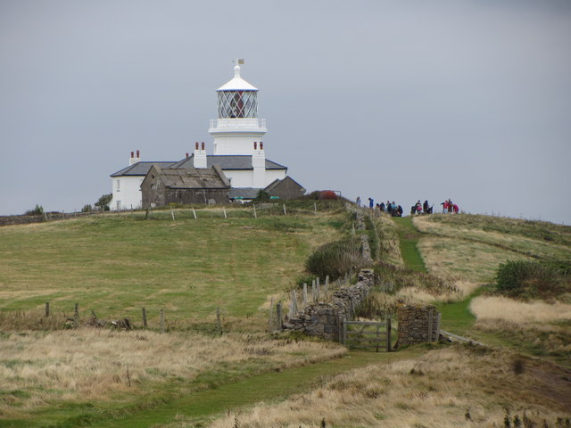
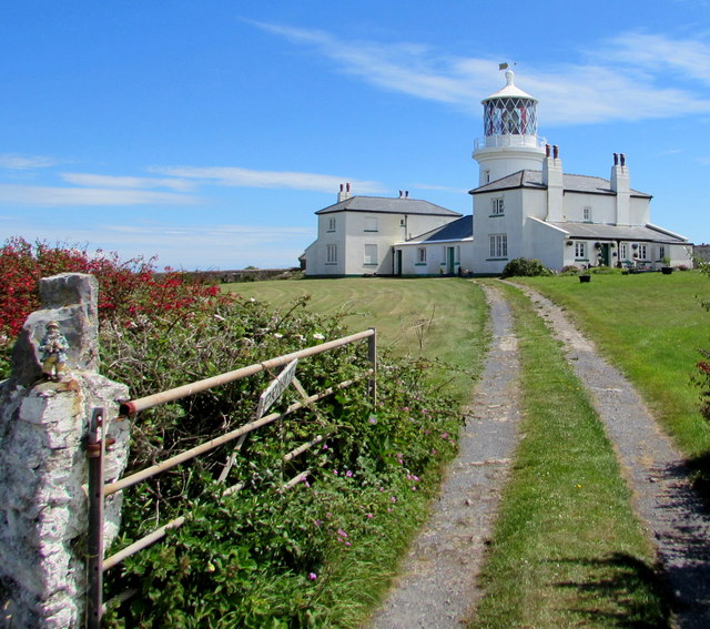
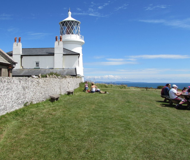
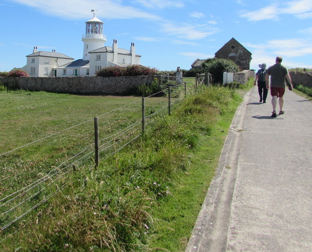
Caldey Lighthouse
Caldey Lighthouse is located on the south end of Caldey Island, three miles (5 km) off the south Pembrokeshire, Wales coastline, a small island inhabited...

Caldey Abbey
Caldey Abbey is an abbey of the Trappists situated on Caldey Island off the coast of Pembrokeshire, Wales, south of Tenby. Caldey Island has been known...
Related Videos


A visit to Caldey Island 17th of July 2021
This is a look around Caldey Island. A 20 minute boat ride from Tenby, Wales Follow my Instagram @dannyboyvids.

Caldey Island: A Day trip to Heaven?
"Caldey Island lies cradled in the magnificent South Pembrokeshire coastline on the western fringes of Wales. It is one of Britain's ...

A trip to Caldey Island - 14th of July 2022
This is a look around the amazing Island near Tenby.
Nearby Amenities
Located within 500m of 51.632731,-4.6989671Have you been to Shag Stack?
Leave your review of Shag Stack below (or comments, questions and feedback).