Red Berry Bay
Bay in Pembrokeshire
Wales
Red Berry Bay
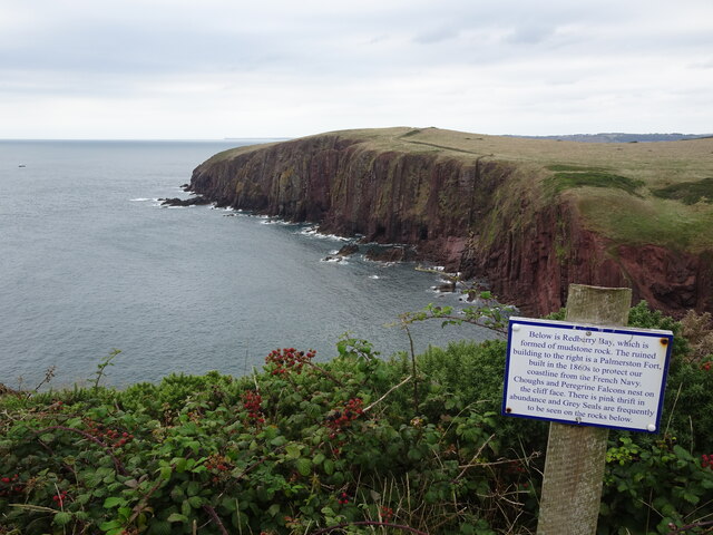
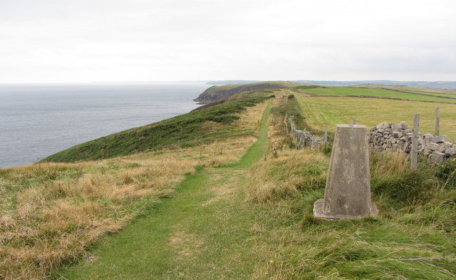
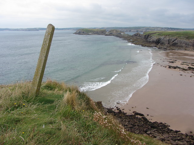
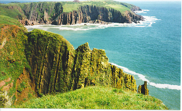
Red Berry Bay is a picturesque coastal area located in Pembrokeshire, Wales. This bay is known for its stunning natural beauty and is a popular destination for tourists and locals alike. With its pristine sandy beaches, crystal-clear waters, and rocky cliffs, Red Berry Bay offers a truly idyllic setting for visitors to enjoy.
The bay is surrounded by lush greenery, with rolling hills and scenic countryside providing a tranquil backdrop. The beach is a prominent feature of Red Berry Bay, stretching for approximately half a mile and offering ample space for sunbathing, picnicking, and beach activities. The sand is soft and golden, inviting visitors to relax and unwind.
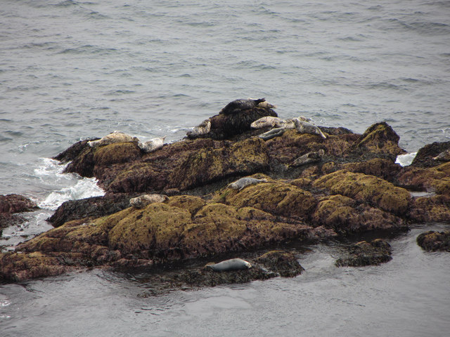
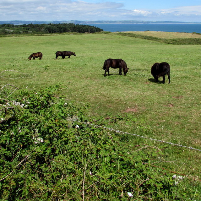
The bay is also home to a diverse range of wildlife, making it a haven for nature enthusiasts. Seals can often be spotted basking on the rocks, while seabirds soar through the sky. The clear waters are perfect for snorkeling and diving, allowing visitors to discover the vibrant marine life that inhabits the bay.
Red Berry Bay is well-equipped to cater to the needs of visitors, with facilities such as parking, public toilets, and nearby cafes and restaurants. The bay is easily accessible by road and is located a short distance from the town of Tenby, making it a convenient day trip destination.
Overall, Red Berry Bay is a hidden gem in Pembrokeshire, offering breathtaking natural beauty, a tranquil atmosphere, and a range of activities for visitors to enjoy.
If you have any feedback on the listing, please let us know in the comments section below.
Red Berry Bay Images
Images are sourced within 2km of 51.633212/-4.6972325 or Grid Reference SS1396. Thanks to Geograph Open Source API. All images are credited.


Red Berry Bay is located at Grid Ref: SS1396 (Lat: 51.633212, Lng: -4.6972325)
Unitary Authority: Pembrokeshire
Police Authority: Dyfed Powys
What 3 Words
///bind.forgotten.scornful. Near Penally, Pembrokeshire
Nearby Locations
Related Wikis

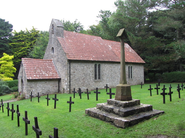
Caldey Priory
Caldey Priory is a Grade I-listed priory on Caldey Island off the coast of Pembrokeshire, Wales, some 300 metres (330 yd) south of the modern Caldey Abbey...
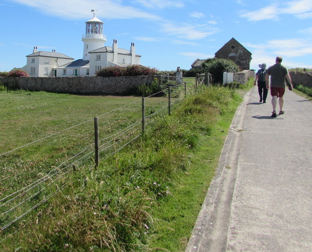
Caldey Island
Caldey Island (Welsh:Ynys Bŷr) is a small island near Tenby, Pembrokeshire, Wales, less than 1 mile (1.6 km) off the coast. With a recorded history going...

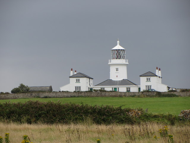
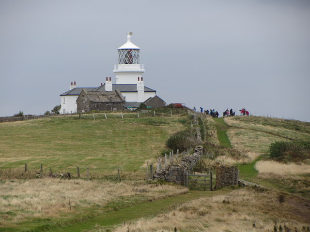
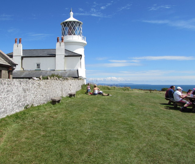
Caldey Lighthouse
Caldey Lighthouse is located on the south end of Caldey Island, three miles (5 km) off the south Pembrokeshire, Wales coastline, a small island inhabited...

Caldey Abbey
Caldey Abbey is an abbey of the Trappists situated on Caldey Island off the coast of Pembrokeshire, Wales, south of Tenby. Caldey Island has been known...
Related Videos


A visit to Caldey Island 17th of July 2021
This is a look around Caldey Island. A 20 minute boat ride from Tenby, Wales Follow my Instagram @dannyboyvids.

Caldey Island: A Day trip to Heaven?
"Caldey Island lies cradled in the magnificent South Pembrokeshire coastline on the western fringes of Wales. It is one of Britain's ...

A trip to Caldey Island - 14th of July 2022
This is a look around the amazing Island near Tenby.
Nearby Amenities
Located within 500m of 51.633212,-4.6972325Have you been to Red Berry Bay?
Leave your review of Red Berry Bay below (or comments, questions and feedback).