Rubha Mòr

Coastal Feature, Headland, Point in Ross-shire

Scotland

Rubha Mòr

Blackhouse Village at Garenin
Blackhouse Village at Garenin Credit: Colin Park

Rubha Mòr, located in Ross-shire, Scotland, is a prominent coastal feature characterized by its stunning headland and picturesque point. Situated on the northwest coast of the Scottish Highlands, Rubha Mòr offers breathtaking views of the surrounding landscape and the vast Atlantic Ocean.

The headland of Rubha Mòr juts out into the sea, forming a natural barrier between the ocean and the mainland. It is composed of rugged cliffs and rocky outcrops, which provide a dramatic backdrop to the crashing waves below. The headland is known for its steep slopes and sheer drop-offs, making it a popular spot for rock climbers and adventure seekers.

At the tip of Rubha Mòr lies a beautiful point that offers panoramic vistas of the surrounding area. The point is adorned with lush greenery, including grasses, wildflowers, and shrubs, adding to its natural charm. It serves as a haven for a diverse range of seabirds, including gannets, guillemots, and puffins, making it a paradise for birdwatchers and nature enthusiasts.

In addition to its natural beauty, Rubha Mòr holds historical significance in the region. Ruins of an ancient fort can be found on the headland, providing a glimpse into the area's rich past. The fort is believed to have been built during the Iron Age and offers a fascinating insight into the lives of the early inhabitants of the region.

Overall, Rubha Mòr in Ross-shire is a captivating coastal feature, offering a combination of stunning natural scenery, abundant wildlife, and a touch of history. Whether one seeks adventure, tranquility, or a glimpse into the past, Rubha Mòr is a must-visit destination for all.

If you have any feedback on the listing, please let us know in the comments section below.
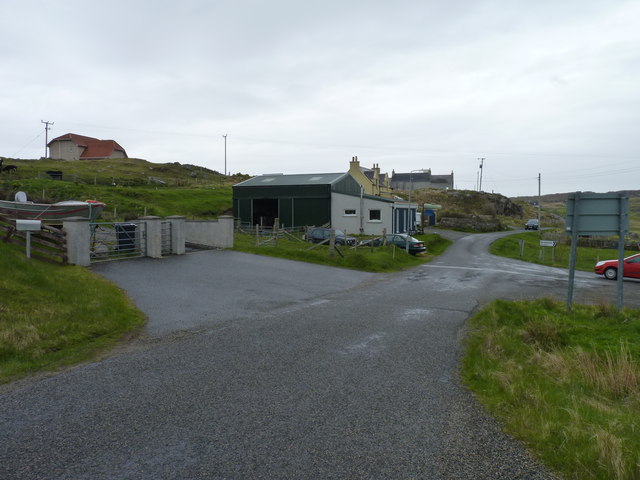
Rubha Mòr Images

Images are sourced within 2km of 58.290972/-6.8051519 or Grid Reference NB1843. Thanks to Geograph Open Source API. All images are credited.

Blackhouse Village at Garenin
Ruin by Loch Garenin
Bus shelter near the Tweed Mill
Na Gearrannan The main road through the restored part of the old village of blackhouses. People lived in some of these houses up until 1974.
Na Gearrannan
The main road through the restored part of the old village of blackhouses. People lived in some of these houses up until 1974.
Buildings in Gearrannan Blackhouse Village
The road to Gearrannan Blackhouse Village
Loch Garenin Sea loch below the Black House Village.
Loch Garenin
Sea loch below the Black House Village.
Blackhouse Village at Garenin The village was occupied until 1974. Restored in the later years of the Century. The plaque commemorates the opening of the village as a visitor attraction by Princess Anne. Most of the black houses are let as self-catering holiday accommodation.
Blackhouse Village at Garenin
The village was occupied until 1974. Restored in the later years of the Century. The plaque commemorates the opening of the village as a visitor attraction by Princess Anne. Most of the black houses are let as self-catering holiday accommodation.
Cottage interior, Garenin Blackhouse Village
Garenin Blackhouses Museum Group of reconstructed blackhouses which give an excellent impression of what Hebridean hamlets would have looked like 200 years ago.
Garenin Blackhouses Museum
Group of reconstructed blackhouses which give an excellent impression of what Hebridean hamlets would have looked like 200 years ago.
Garenin Blackhouses Museum A reconstructed blackhouse settlement.
Garenin Blackhouses Museum
A reconstructed blackhouse settlement.
Rubha Mor Neidallt illicit still Illicit still hidden below a large rock outcrop. <span class="nowrap"><a title="https://canmore.org.uk/site/137120/lewis-rubha-mor-neidallt" rel="nofollow ugc noopener" href="https://canmore.org.uk/site/137120/lewis-rubha-mor-neidallt">Link</a><img style="margin-left:2px;" alt="External link" title="External link - shift click to open in new window" src="https://s1.geograph.org.uk/img/external.png" width="10" height="10"/></span>
Rubha Mor Neidallt illicit still
Illicit still hidden below a large rock outcrop. LinkExternal link
Rubha Mor Neidallt illicit still View into the building from the rock outcrop above the building. <span class="nowrap"><a title="https://canmore.org.uk/site/137120/lewis-rubha-mor-neidallt" rel="nofollow ugc noopener" href="https://canmore.org.uk/site/137120/lewis-rubha-mor-neidallt">Link</a><img style="margin-left:2px;" alt="External link" title="External link - shift click to open in new window" src="https://s1.geograph.org.uk/img/external.png" width="10" height="10"/></span>
Rubha Mor Neidallt illicit still
View into the building from the rock outcrop above the building. LinkExternal link
Marker Cairn
Marker Cairn
Aird Mheadhonach cliffs, sheepfold and lazy beds
Historic shelter or shieling
Road to Borghastan A cul-de-sac back road near Càrlabhagh.
Road to Borghastan
A cul-de-sac back road near Càrlabhagh.
Show me another place!

Rubha Mòr is located at Grid Ref: NB1843 (Lat: 58.290972, Lng: -6.8051519)

Unitary Authority: Na h-Eileanan an Iar

Police Authority: Highlands and Islands

What 3 Words

///excuse.hunter.exits. Near Carloway, Na h-Eileanan Siar

Related Wikis

Have you been to Rubha Mòr?

Leave your review of Rubha Mòr below (or comments, questions and feedback).