College Wood
Wood, Forest in Oxfordshire South Oxfordshire
England
College Wood

College Wood is a picturesque forest located in Oxfordshire, England. Spread across an area of approximately [insert size] hectares, it is a well-preserved natural habitat that offers a serene and tranquil environment for visitors. The wood is situated [insert location details] and is easily accessible by car or public transportation.
The woodland is primarily composed of a diverse range of tree species, including oak, beech, and birch, which create a rich and varied landscape. The dense canopy formed by these trees provides a habitat for a wide array of wildlife, such as deer, foxes, and various bird species. Nature enthusiasts can explore the wood's well-maintained walking trails, which meander through the forest and offer stunning views of the surrounding countryside.
College Wood's historical significance is also noteworthy. It is believed to have been named after a nearby college, although the exact origins of this association remain uncertain. Over the years, the wood has been carefully managed to maintain its ecological balance, with periodic tree thinning and maintenance activities taking place.
Visitors to College Wood can enjoy a range of recreational activities, including picnicking, birdwatching, and photography. The forest's peaceful atmosphere makes it an ideal location for those seeking a break from the hustle and bustle of city life. Additionally, the wood serves as an educational resource, with guided nature walks and workshops organized by local conservation groups.
Overall, College Wood offers a unique blend of natural beauty, biodiversity, and historical significance, making it a cherished destination for nature lovers and history enthusiasts alike.
If you have any feedback on the listing, please let us know in the comments section below.
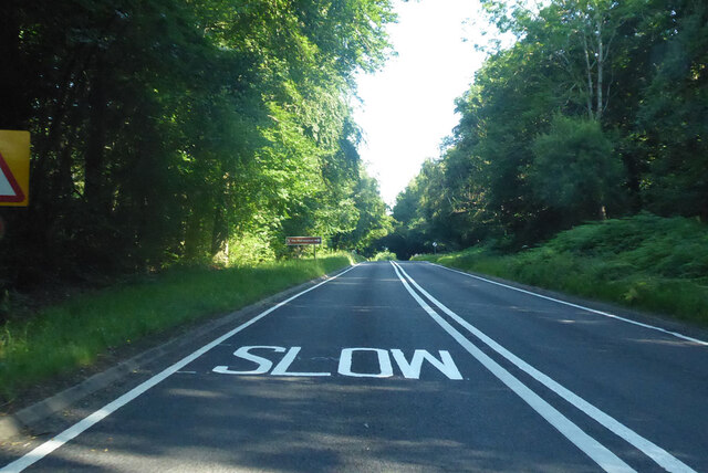
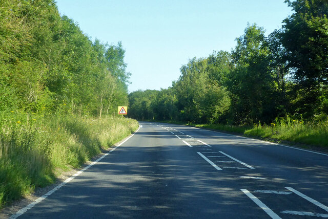
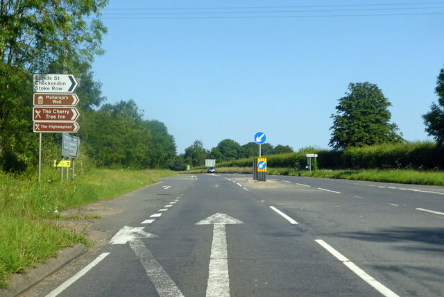
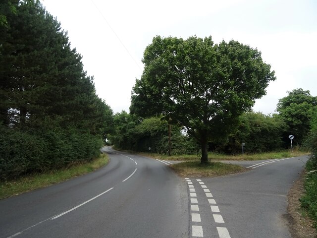
College Wood Images
Images are sourced within 2km of 51.525062/-1.0518714 or Grid Reference SU6581. Thanks to Geograph Open Source API. All images are credited.


College Wood is located at Grid Ref: SU6581 (Lat: 51.525062, Lng: -1.0518714)
Administrative County: Oxfordshire
District: South Oxfordshire
Police Authority: Thames Valley
Also known as: Abbot's Wood
What 3 Words
///pave.spare.glory. Near Rotherfield Peppard, Oxfordshire
Nearby Locations
Related Wikis

Exlade Street
Exlade Street is a hamlet in Checkendon civil parish in Oxfordshire, about 6 miles (9.7 km) northwest of Reading, in the Chiltern Hills. The hamlet is...

The Oratory School
The Oratory School () is an HMC co-educational private Roman Catholic boarding and day school for pupils aged 11–18 located in Woodcote, 6 miles (9.7 km...

Hook End Recording Studios
Hook End Recording Studios was a recording studio located in Hook End Manor, a 16th-century Elizabethan house near Checkendon, Oxfordshire, England. Its...

Langtree School
Langtree School is a coeducational secondary school located in the village of Woodcote in South Oxfordshire, England. The school has approximately 624...

Woodcote
Woodcote is a village and civil parish in South Oxfordshire, about 5 miles (8 km) southeast of Wallingford and about 7 miles (11 km) northwest of Reading...

St Peter and St Paul, Checkendon
St Peter and St Paul is the Church of England parish church of Checkendon, a village in Oxfordshire, England. Its parish is part of the Deanery of Henley...
Checkendon
Checkendon is a village and civil parish about 6 miles (10 km) west of Henley-on-Thames in South Oxfordshire and about 9 miles (14 km) north west of Reading...
The Oratory Preparatory School
The Oratory Prep School is a Roman Catholic day and boarding school for some 330 boys and girls aged from two to thirteen, founded in 1925. The school...
Nearby Amenities
Located within 500m of 51.525062,-1.0518714Have you been to College Wood?
Leave your review of College Wood below (or comments, questions and feedback).