Corton Woods
Wood, Forest in Suffolk East Suffolk
England
Corton Woods
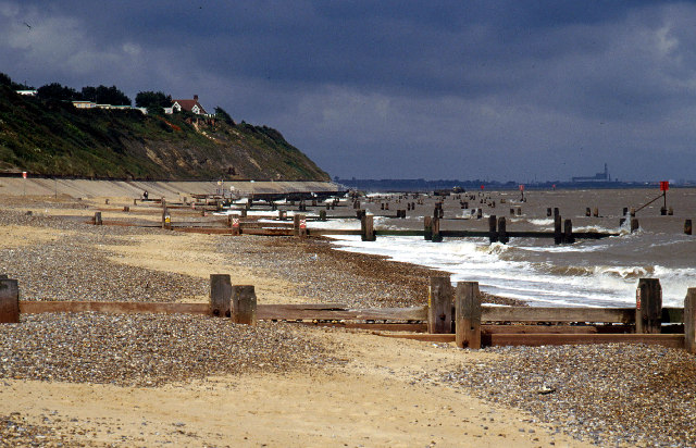
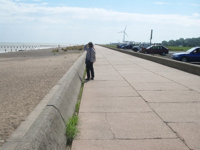
Corton Woods is a picturesque woodland located in the county of Suffolk, England. Covering an area of approximately 25 hectares, it is known for its natural beauty and diverse range of plant and animal species. The woods are situated near the village of Corton, just a few miles north of the popular coastal town of Lowestoft.
The woodland is predominantly made up of native broadleaf trees such as oak, beech, and birch, which create a dense and leafy canopy during the summer months. This provides a habitat for a wide variety of wildlife, including deer, squirrels, foxes, and numerous bird species. Nature enthusiasts will find plenty to explore and discover within Corton Woods, from the delicate bluebells that carpet the forest floor in spring to the vibrant autumnal colors that adorn the trees in fall.
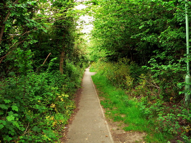
Corton Woods also offers a network of well-maintained walking trails, providing visitors with the opportunity to immerse themselves in the tranquil surroundings and enjoy the peace and quiet of nature. The paths wind through the woods, allowing for leisurely strolls or more energetic hikes, depending on individual preferences.
In addition to its natural appeal, Corton Woods is also valued for its historical significance. The ancient woodland has been in existence for hundreds of years and has witnessed various human activities throughout its history. Today, it stands as a testament to the enduring beauty of nature and a cherished resource for the local community and visitors alike.
If you have any feedback on the listing, please let us know in the comments section below.
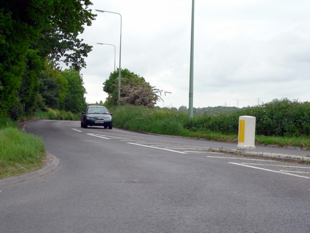
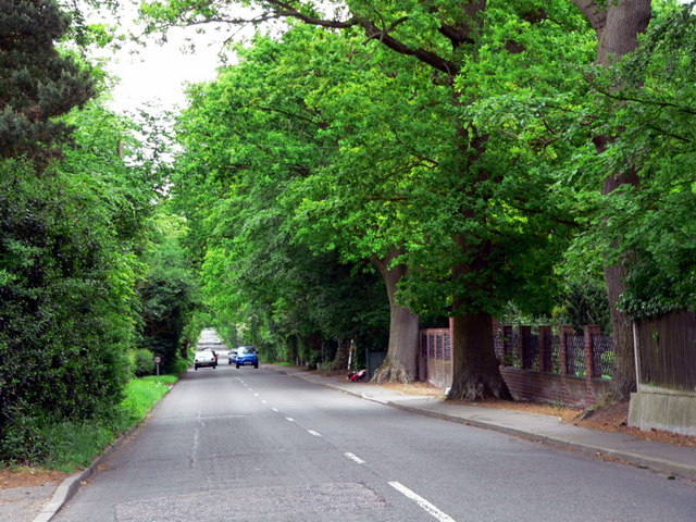
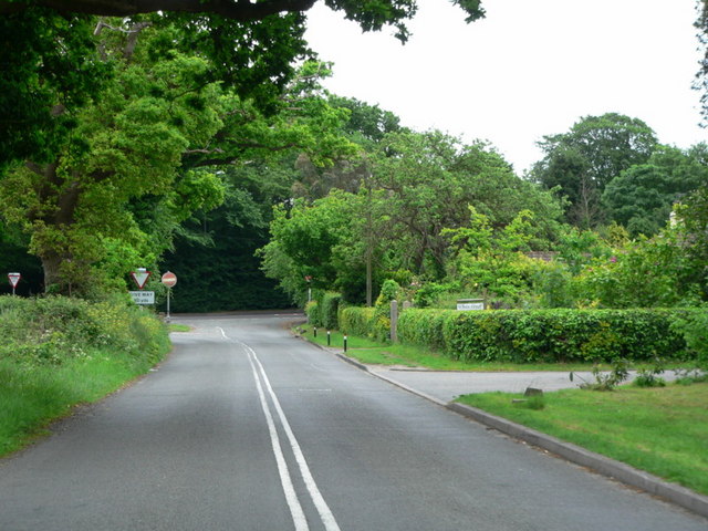
Corton Woods Images
Images are sourced within 2km of 52.509134/1.7484479 or Grid Reference TM5496. Thanks to Geograph Open Source API. All images are credited.


Corton Woods is located at Grid Ref: TM5496 (Lat: 52.509134, Lng: 1.7484479)
Administrative County: Suffolk
District: East Suffolk
Police Authority: Suffolk
What 3 Words
///toolbar.tangent.sample. Near Hopton on Sea, Norfolk
Nearby Locations
Related Wikis
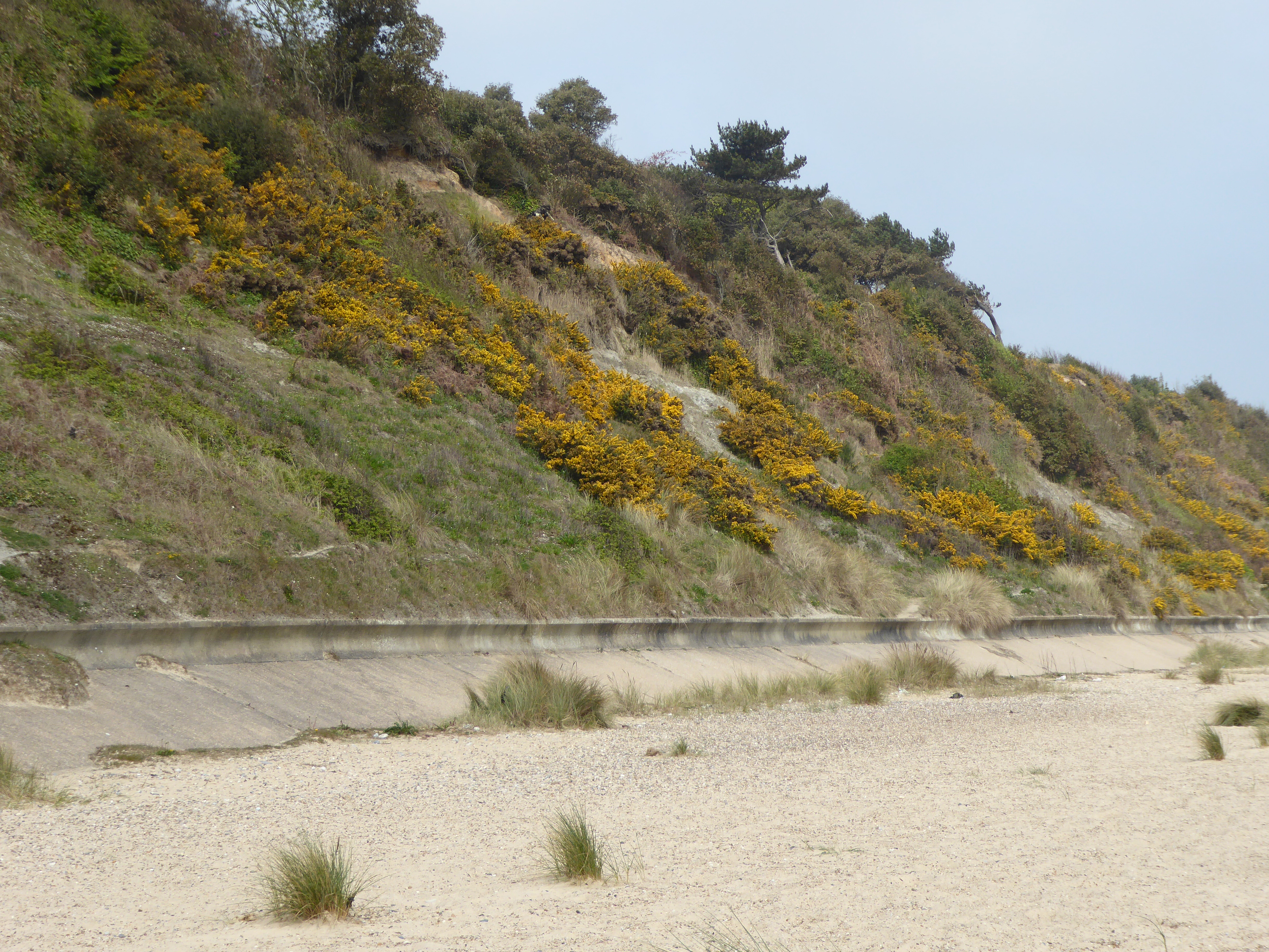
Corton Cliffs
Corton Cliffs is a 5.5-hectare (14-acre) geological Site of Special Scientific Interest north of Lowestoft in Suffolk. It is a Geological Conservation...

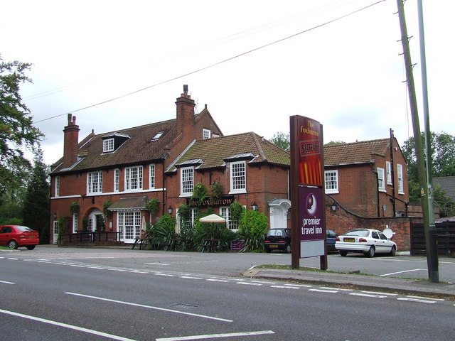
Pleasurewood Hills
Pleasurewood Hills is a theme park on a 59-acre (24 ha) site between Corton and Gunton, near Lowestoft, Suffolk. == History == The park was created by...

Wipeout (roller coaster)
Wipeout (formerly Coca-Cola Roller and Missile) is a roller coaster located at Pleasurewood Hills theme park in Lowestoft, England. Vekoma designed the...
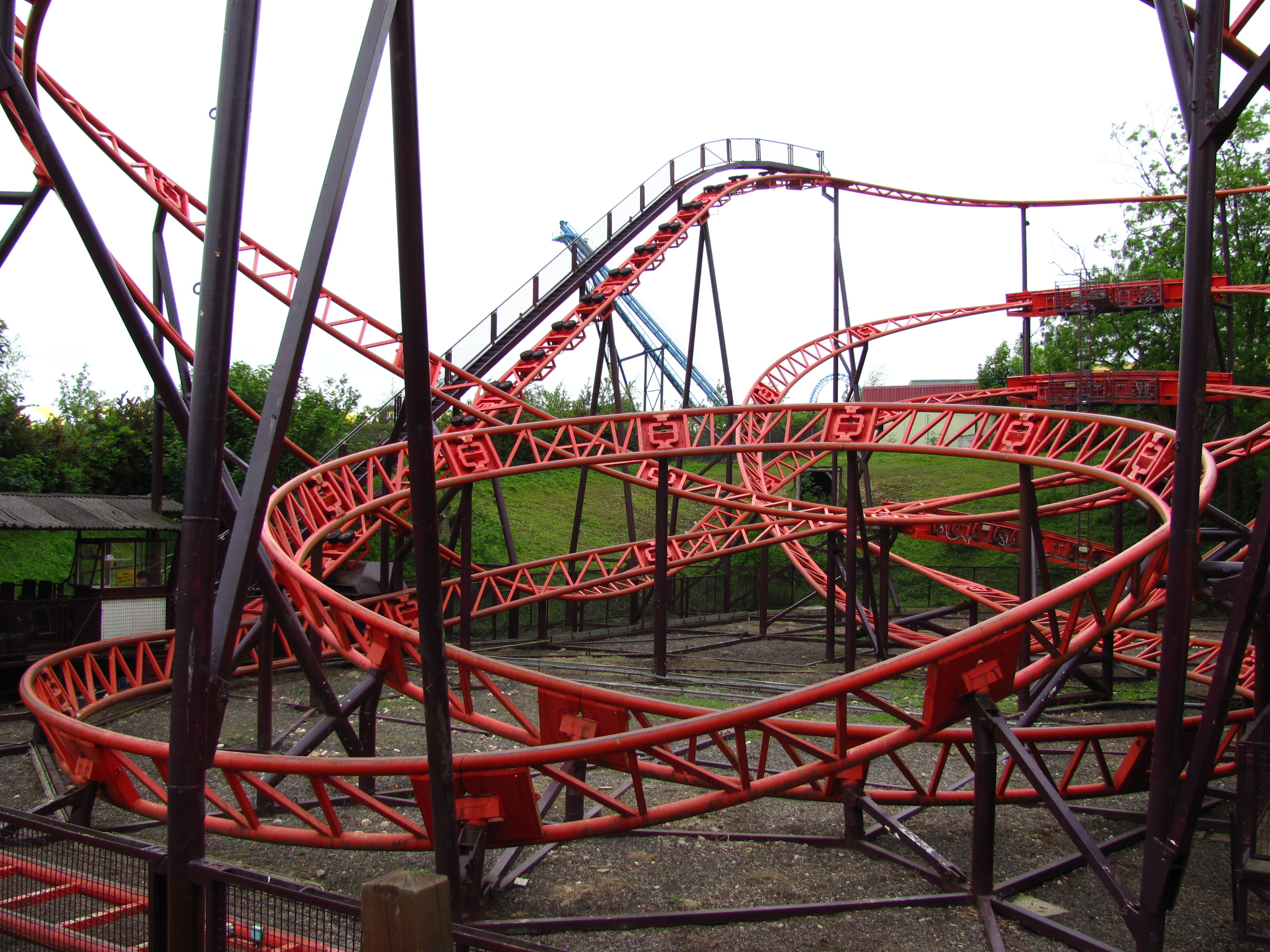
Cannonball Express (roller coaster)
Cannonball Express is a roller coaster located at Pleasurewood Hills, Corton, near Lowestoft, Suffolk. It is the only Schwarzkopf Jumbo V coaster to be...
Nearby Amenities
Located within 500m of 52.509134,1.7484479Have you been to Corton Woods?
Leave your review of Corton Woods below (or comments, questions and feedback).