Abbot's Wood
Wood, Forest in Oxfordshire South Oxfordshire
England
Abbot's Wood

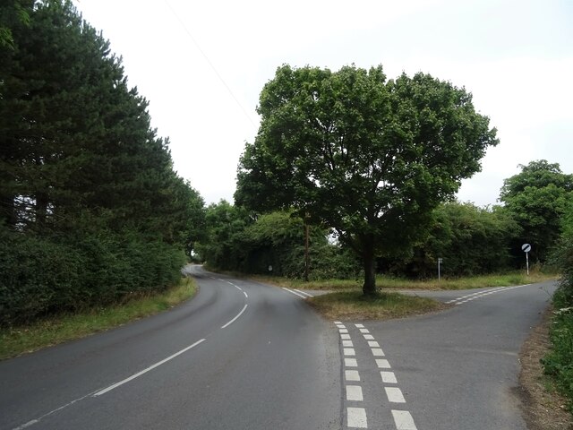
Abbot's Wood is a picturesque woodland located in Oxfordshire, England. Nestled in the heart of the county, this enchanting forest attracts nature enthusiasts and visitors seeking tranquility amidst its lush greenery. Covering an area of approximately 500 acres, Abbot's Wood is a haven for flora and fauna, offering a diverse and captivating environment.
The wood is characterized by its ancient trees, including oak, beech, and ash, which provide a majestic canopy overhead. These towering giants create a serene and peaceful atmosphere, casting dappled sunlight onto the forest floor below. The woodland is also home to an array of wildlife, with an abundance of birds, squirrels, and deer that can often be spotted among the trees.
For those seeking recreational activities, Abbot's Wood offers a network of walking trails that wind through its captivating landscape. These paths cater to all abilities, from leisurely strolls to more challenging hikes. The forest also has designated picnic areas, perfect for enjoying a packed lunch or simply taking a moment to soak in the natural beauty.
Abbot's Wood holds historical significance too. It is believed to have been part of a larger forest that once covered the area during medieval times, and remnants of this past can still be glimpsed today. The wood's name is derived from its association with the nearby abbey, which once owned the land.
Overall, Abbot's Wood in Oxfordshire is a captivating destination that offers a peaceful retreat for nature lovers and history enthusiasts alike. Its ancient trees, diverse wildlife, and tranquil ambiance make it a truly enchanting place to explore and appreciate the wonders of the natural world.
If you have any feedback on the listing, please let us know in the comments section below.
Abbot's Wood Images
Images are sourced within 2km of 51.525062/-1.0518714 or Grid Reference SU6581. Thanks to Geograph Open Source API. All images are credited.


Abbot's Wood is located at Grid Ref: SU6581 (Lat: 51.525062, Lng: -1.0518714)
Administrative County: Oxfordshire
District: South Oxfordshire
Police Authority: Thames Valley
Also known as: College Wood
What 3 Words
///pave.spare.glory. Near Rotherfield Peppard, Oxfordshire
Nearby Locations
Related Wikis

Exlade Street
Exlade Street is a hamlet in Checkendon civil parish in Oxfordshire, about 6 miles (9.7 km) northwest of Reading, in the Chiltern Hills. The hamlet is...

The Oratory School
The Oratory School () is an HMC co-educational private Roman Catholic boarding and day school for pupils aged 11–18 located in Woodcote, 6 miles (9.7 km...

Hook End Recording Studios
Hook End Recording Studios was a recording studio located in Hook End Manor, a 16th-century Elizabethan house near Checkendon, Oxfordshire, England. Its...

Langtree School
Langtree School is a coeducational secondary school located in the village of Woodcote in South Oxfordshire, England. The school has approximately 624...

Woodcote
Woodcote is a village and civil parish in South Oxfordshire, about 5 miles (8 km) southeast of Wallingford and about 7 miles (11 km) northwest of Reading...

St Peter and St Paul, Checkendon
St Peter and St Paul is the Church of England parish church of Checkendon, a village in Oxfordshire, England. Its parish is part of the Deanery of Henley...
Checkendon
Checkendon is a village and civil parish about 6 miles (10 km) west of Henley-on-Thames in South Oxfordshire and about 9 miles (14 km) north west of Reading...
The Oratory Preparatory School
The Oratory Prep School is a Roman Catholic day and boarding school for some 330 boys and girls aged from two to thirteen, founded in 1925. The school...
Nearby Amenities
Located within 500m of 51.525062,-1.0518714Have you been to Abbot's Wood?
Leave your review of Abbot's Wood below (or comments, questions and feedback).