Exlade Street
Settlement in Oxfordshire South Oxfordshire
England
Exlade Street

Exlade Street is a charming village located in the county of Oxfordshire, England. Situated amidst the picturesque countryside, it offers a tranquil and idyllic setting for its residents and visitors. The village is nestled within the Chiltern Hills, a designated Area of Outstanding Natural Beauty, which adds to its allure.
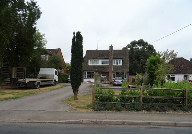
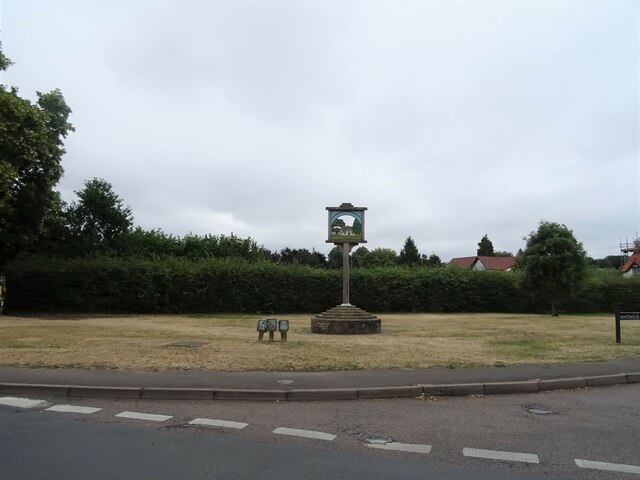
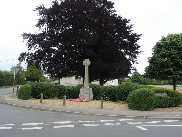
Exlade Street is known for its traditional architecture, with many of its buildings dating back to the 17th and 18th centuries. The village is characterized by quaint thatched cottages, stone houses, and well-maintained gardens, contributing to its quintessential English village charm.
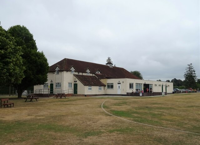
The village boasts a strong sense of community, with a friendly and welcoming atmosphere. It is home to a close-knit population who take pride in their village and actively participate in local events and initiatives. The Exlade Street Village Hall serves as a hub for community gatherings and activities, hosting regular events such as fairs, fundraisers, and social gatherings.
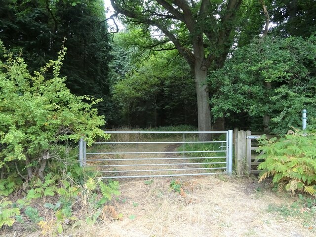
Surrounded by rolling hills and lush green fields, Exlade Street offers ample opportunities for outdoor activities and exploration. The area is crisscrossed with footpaths and bridleways, making it a haven for hikers, cyclists, and horse riders. The nearby Chiltern Way provides breathtaking views and invigorating walks through the stunning countryside.
Although Exlade Street is a small village, it benefits from its proximity to larger towns and cities. The bustling market town of Henley-on-Thames is just a short drive away, offering a wide range of amenities, shops, and restaurants. The city of Oxford is also within easy reach, providing access to world-class universities, cultural attractions, and a vibrant city life.
In summary, Exlade Street, Oxfordshire, is a delightful village that encapsulates the essence of rural England. Its charming architecture, strong community spirit, and stunning natural surroundings make it a truly enchanting place to visit or call home.
If you have any feedback on the listing, please let us know in the comments section below.
Exlade Street Images
Images are sourced within 2km of 51.532221/-1.052787 or Grid Reference SU6581. Thanks to Geograph Open Source API. All images are credited.
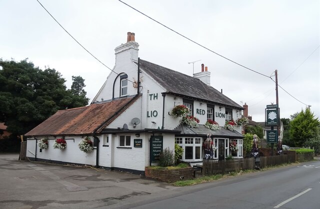
Exlade Street is located at Grid Ref: SU6581 (Lat: 51.532221, Lng: -1.052787)
Administrative County: Oxfordshire
District: South Oxfordshire
Police Authority: Thames Valley
What 3 Words
///breakfast.initial.results. Near Rotherfield Peppard, Oxfordshire
Nearby Locations
Related Wikis
Exlade Street
Exlade Street is a hamlet in Checkendon civil parish in Oxfordshire, about 6 miles (9.7 km) northwest of Reading, in the Chiltern Hills. The hamlet is...
The Oratory School
The Oratory School () is an HMC co-educational private Roman Catholic boarding and day school for pupils aged 11–18 located in Woodcote, 6 miles (9.7 km...
Langtree School
Langtree School is a coeducational secondary school located in the village of Woodcote in South Oxfordshire, England. The school has approximately 624...
Hook End Recording Studios
Hook End Recording Studios was a recording studio located in Hook End Manor, a 16th-century Elizabethan house near Checkendon, Oxfordshire, England. Its...
St Peter and St Paul, Checkendon
St Peter and St Paul is the Church of England parish church of Checkendon, a village in Oxfordshire, England. Its parish is part of the Deanery of Henley...
Checkendon
Checkendon is a village and civil parish about 6 miles (10 km) west of Henley-on-Thames in South Oxfordshire and about 9 miles (14 km) north west of Reading...
Woodcote
Woodcote is a village and civil parish in South Oxfordshire, about 5 miles (8 km) southeast of Wallingford and about 7 miles (11 km) northwest of Reading...
Wyfold Court
Wyfold Court is a country house at Rotherfield Peppard in south Oxfordshire. It is a Grade II* listed building. By the year 2000, the estate had been converted...
Related Videos
🇮🇳 MAHARAJAH'S WELL, Stoke Row (England)
In the centre of Stoke Row, high in the Chiltern Hills, is an incongruous sight, The Maharaja's Well. It's origin goes back to the ...
Maharajah's Well #travel #strangerthings #england
THANKS TO THE KINDNESS OF both an Englishman and his Indian benefactor, the Maharajah's Well in Stoke Row, England ...
Oxfordshire 3.9 mile circular walk: Checkendon
Checkendon: 3.9 mile circular walk ** one of our favouites ** Guided Walk: ...
Thames Travel Wright Eclipse Gemini 2 | X40 to Oxford | 28.08.23
On Monday the 28th of August 2023, I was waiting at Co-op in Woodcote whilst I was waiting I was checking the Thames Travel ...
Nearby Amenities
Located within 500m of 51.532221,-1.052787Have you been to Exlade Street?
Leave your review of Exlade Street below (or comments, questions and feedback).
