Ash Covert

Wood, Forest in Suffolk East Suffolk

England

Ash Covert

Part of the former USAF Bentwaters Looking through an old gate of USAF Bentwaters near to Rendlesham, Suffolk.
Part of the former USAF Bentwaters Credit: Keith Evans

Ash Covert, Suffolk, also known as Ash Wood or Ash Forest, is a picturesque woodland area located in the county of Suffolk, England. Spanning approximately 200 acres, it offers a tranquil escape from the hustle and bustle of urban life. The forest is situated near the small village of Ash, which lies within the Waveney district.

Ash Covert is renowned for its diverse range of tree species, with the dominant presence of ash trees giving the area its name. Other notable species include oak, beech, and birch, creating a rich and vibrant ecosystem. The forest floor is covered in a thick carpet of ferns, bluebells, and wildflowers, adding a splash of color to the greenery.

The woodland is a haven for wildlife, providing a habitat for various species. Visitors may spot roe deer, foxes, badgers, and rabbits, as well as a wide array of birdlife, including woodpeckers, owls, and various songbirds. Ash Covert is also home to several rare and protected species, such as the great crested newt and the silver-washed fritillary butterfly.

The forest offers a variety of walking trails, allowing visitors to explore its beauty at their own pace. There are picnic areas and benches scattered throughout the woods, providing opportunities for relaxation and enjoying the peaceful surroundings. Additionally, the forest is equipped with well-maintained footpaths, making it accessible for people of all ages and abilities.

Ash Covert, Suffolk, is a cherished natural gem, offering a serene retreat for nature enthusiasts, hikers, and those seeking a break from urban life. Its abundant wildlife and breathtaking scenery make it a must-visit destination for anyone looking to immerse themselves in the beauty of the Suffolk countryside.

If you have any feedback on the listing, please let us know in the comments section below.
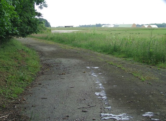
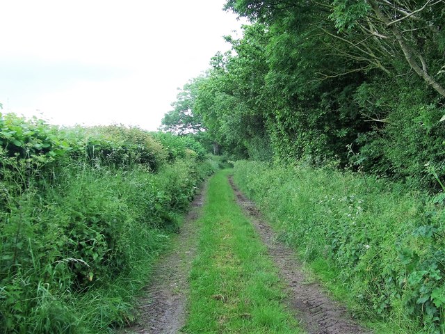
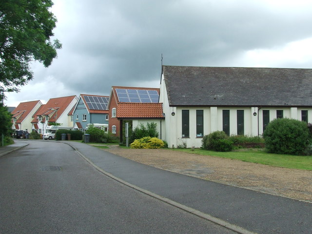
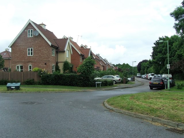
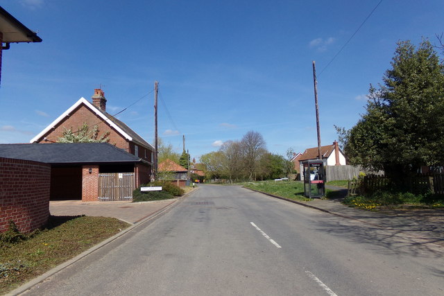
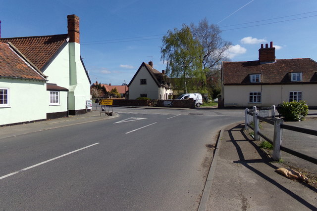
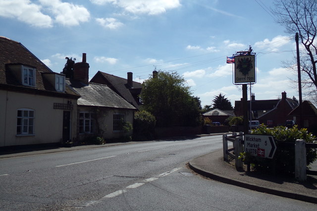
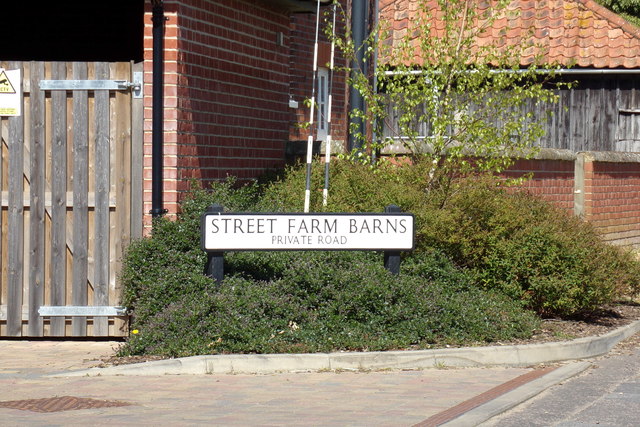
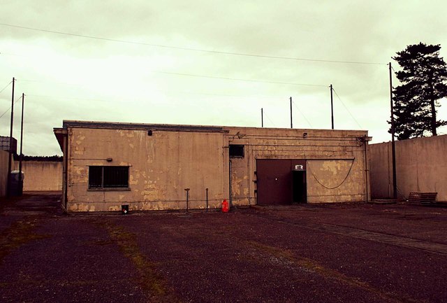
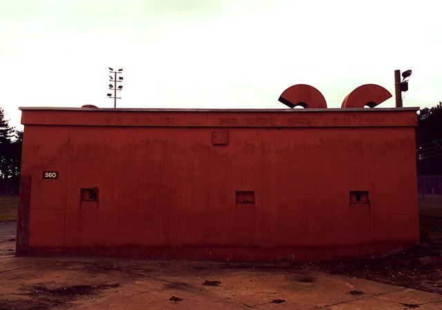
Ash Covert Images

Images are sourced within 2km of 52.133766/1.4275564 or Grid Reference TM3453. Thanks to Geograph Open Source API. All images are credited.

Part of the former USAF Bentwaters Looking through an old gate of USAF Bentwaters near to Rendlesham, Suffolk.
Part of the former USAF Bentwaters
Looking through an old gate of USAF Bentwaters near to Rendlesham, Suffolk.
Footpath Footpath looking east near to Campsea Ashe, Suffolk.
Footpath
Footpath looking east near to Campsea Ashe, Suffolk.
Walnut Tree Avenue Walnut Tree Avenue Rendlesham, Suffolk.
Walnut Tree Avenue
Walnut Tree Avenue Rendlesham, Suffolk.
Garden Square Looking along Garden Square Rendlesham, Suffolk.
Garden Square
Looking along Garden Square Rendlesham, Suffolk.
Cut Mark Rendlesham RAF Bentwaters Control Tower Cut Mark Rendlesham RAF Bentwaters Control Tower, W angle (building 61.)
Cut Mark Rendlesham RAF Bentwaters Control Tower
Cut Mark Rendlesham RAF Bentwaters Control Tower, W angle (building 61.)
B1078 Ash Road, Tunstall At the entrance to Tunstall Village Hall
B1078 Ash Road, Tunstall
At the entrance to Tunstall Village Hall
B1078 Ash Road, Tunstall Looking towards the entrance to Tunstall Village Hall
B1078 Ash Road, Tunstall
Looking towards the entrance to Tunstall Village Hall
Tunstall Defibrillator On The Green Man Public House off the B1069 Woodbridge Road at the junction with the B1078 Ash Road
Tunstall Defibrillator
On The Green Man Public House off the B1069 Woodbridge Road at the junction with the B1078 Ash Road
School Road, Tunstall At the junction with Street Farm Barns
School Road, Tunstall
At the junction with Street Farm Barns
B1078 Ash Road, Tunstall At the junction with B1069 Woodbridge Road near The Green Man Public House
B1078 Ash Road, Tunstall
At the junction with B1069 Woodbridge Road near The Green Man Public House
B1069 Woodbridge Road, Tunstall At the junction with the B1078 Ash Road near the Green Man Public House
B1069 Woodbridge Road, Tunstall
At the junction with the B1078 Ash Road near the Green Man Public House
Street Farm Barns sign On Street Farm Barns at the junction with School Road
Street Farm Barns sign
On Street Farm Barns at the junction with School Road
Woodbridge Road sign On the B1069 Woodbridge Road at the junction with Ash Road
Woodbridge Road sign
On the B1069 Woodbridge Road at the junction with Ash Road
Telephone Box on School Road At the junction with Street Farm Barns
Telephone Box on School Road
At the junction with Street Farm Barns
Signpost off School Road At the junction with Blaxhall Church Road
Signpost off School Road
At the junction with Blaxhall Church Road
RAF Bentwaters Building 661 Police Dog Kennels RAF Bentwaters Building 661 Police Dog Kennels
RAF Bentwaters Building 661 Police Dog Kennels
RAF Bentwaters Missile Shop RAF Bentwaters Missile Shop.
.
RAF Bentwaters Missile Shop
RAF Bentwaters Missile Shop. .
RAF Bentwaters Building 560 Hardened Security Shelter RAF Bentwaters Building 560 Hardened Security Shelter
RAF Bentwaters Building 560 Hardened Security Shelter
Show me another place!

Ash Covert is located at Grid Ref: TM3453 (Lat: 52.133766, Lng: 1.4275564)

Administrative County: Suffolk

District: East Suffolk

Police Authority: Suffolk

What 3 Words

///inversion.travel.grasp. Near Rendlesham, Suffolk

Related Wikis

RAF Bentwaters

Royal Air Force Bentwaters or more simply RAF Bentwaters, now known as Bentwaters Parks, is a former Royal Air Force station about 80 miles (130 km) northeast...

Rendlesham Hall

Rendlesham Hall was a large manor house in the village of Rendlesham in Suffolk. == History == The hall was built in the pointed style in 1780 and two...

Rendlesham

Rendlesham is a village and civil parish near Woodbridge, Suffolk, United Kingdom. It was a royal centre of authority for the king of the East Angles....

Tunstall, Suffolk

Tunstall is a village and civil parish in Suffolk, England. There are two settlements named Tunstall next to each other, 7.5 miles (12.1 km) north east...

Nearby Amenities

Located within 500m of 52.133766,1.4275564
Bus Stop
Spencer Road
Bus: yes
Naptan AtcoCode: 390060163
Naptan Bearing: E
Naptan CommonName: Spencer Road
Naptan Indicator: opp
Naptan Landmark: Spencer Road
Naptan NaptanCode: sufgmwam
Naptan Street: Redwald Road
Naptan Verified: no
Public Transport: platform
Source: naptan_import
Lat/Long: 52.133112/1.4210255
Mini Roundabout
Lat/Long: 52.1321272/1.4322281
Barrier: bollard
Lat/Long: 52.1347381/1.4310886
Power: pole
Lat/Long: 52.1375781/1.4298327
Power: pole
Lat/Long: 52.134358/1.4310576
Power: pole
Lat/Long: 52.1350378/1.4314286
Power: pole
Lat/Long: 52.1358851/1.4308673
Power: pole
Lat/Long: 52.1344504/1.4309665
Man Made: tower
Tower Type: communication
Lat/Long: 52.1318937/1.4337554
Animal Boarding
Happi Days
Addr City: Woodbridge
Addr Housename: America House
Addr Place: Base Business Park
Addr Postcode: IP12 2TW
Addr Unit: Unit 11
Addr Village: Rendlesham
Animal Boarding: dog
Description: Dog day care and boarding centre
Email: admin@happidayscentre.co.uk
Opening Hours: Mo-Fr 07:00-18:00
Website: https://happidayscentre.co.uk/locations/rendlesham/
Lat/Long: 52.1309467/1.4301165
Generator Method: photovoltaic
Generator Output Electricity: yes
Generator Source: solar
Generator Type: solar_photovoltaic_panel
Location: roof
Power: generator
Lat/Long: 52.1294254/1.4279236
Generator Method: photovoltaic
Generator Output Electricity: yes
Generator Source: solar
Generator Type: solar_photovoltaic_panel
Location: roof
Power: generator
Lat/Long: 52.1335243/1.4204362
Generator Method: photovoltaic
Generator Output Electricity: yes
Generator Source: solar
Generator Type: solar_photovoltaic_panel
Location: roof
Power: generator
Lat/Long: 52.133521/1.4204979
Generator Method: photovoltaic
Generator Output Electricity: yes
Generator Source: solar
Generator Type: solar_photovoltaic_panel
Location: roof
Power: generator
Lat/Long: 52.1335638/1.4220858
Generator Method: photovoltaic
Generator Output Electricity: yes
Generator Source: solar
Generator Type: solar_photovoltaic_panel
Location: roof
Power: generator
Lat/Long: 52.1317379/1.4212999
Generator Method: photovoltaic
Generator Output Electricity: yes
Generator Source: solar
Generator Type: solar_photovoltaic_panel
Location: roof
Power: generator
Lat/Long: 52.131705/1.4213803
Generator Method: photovoltaic
Generator Output Electricity: yes
Generator Source: solar
Generator Type: solar_photovoltaic_panel
Location: roof
Power: generator
Lat/Long: 52.1309953/1.4222494
Generator Method: photovoltaic
Generator Output Electricity: yes
Generator Source: solar
Generator Type: solar_photovoltaic_panel
Location: roof
Power: generator
Lat/Long: 52.1304536/1.4229789
Generator Method: photovoltaic
Generator Output Electricity: yes
Generator Source: solar
Generator Type: solar_photovoltaic_panel
Location: roof
Power: generator
Lat/Long: 52.1303515/1.4230755
Entrance: yes
Lat/Long: 52.1312983/1.4316745
Bentwaters Cold War Museum
Address: Building 134, Bentwaters Parks, Rendlesham, Woodbridge IP12 2TW
Tourism: museum
Website: https://www.bcwm.org.uk/
Lat/Long: 52.1313332/1.4320936
Entrance: yes
Lat/Long: 52.1309504/1.4323153
The data included in this document is from www.openstreetmap.org. The data is made available under ODbL.

Have you been to Ash Covert?

Leave your review of Ash Covert below (or comments, questions and feedback).