Walsham Wood
Wood, Forest in Norfolk Broadland
England
Walsham Wood
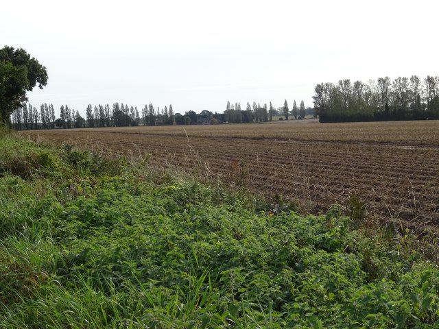
Walsham Wood is a picturesque forest located in the county of Norfolk, England. Spanning over an area of approximately 100 acres, this woodland area is a popular destination for nature enthusiasts and hikers alike.
The wood is predominantly made up of broadleaf trees, including oak, beech, and ash, which create a dense canopy that filters sunlight and provides a cool and tranquil ambiance. The forest floor is covered with a carpet of moss and ferns, adding to the overall beauty of the surroundings.
Walsham Wood is home to a diverse range of wildlife, making it an ideal spot for birdwatching and animal-spotting. Bird species such as woodpeckers, thrushes, and owls can be spotted perched on branches or flying overhead. Squirrels, rabbits, and deer are also commonly seen roaming through the undergrowth.
Several well-defined walking trails crisscross the forest, allowing visitors to explore the area at their own pace. These trails offer a variety of routes, ranging from short and easy walks to longer and more challenging hikes, catering to all levels of fitness and ability.
The wood is well-maintained, with designated picnic areas and benches scattered throughout, providing visitors with the opportunity to relax and soak in the peaceful atmosphere. Additionally, the forest is equipped with signage that offers information about the local flora and fauna, enhancing the educational experience.
Overall, Walsham Wood is a haven of natural beauty and tranquility, offering visitors the chance to immerse themselves in the wonders of the Norfolk countryside.
If you have any feedback on the listing, please let us know in the comments section below.
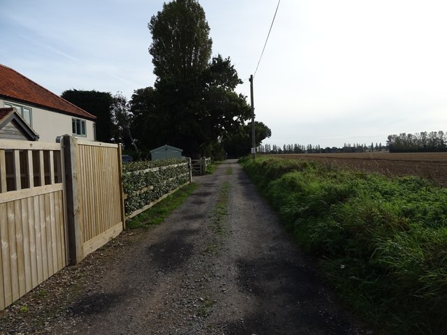
Walsham Wood Images
Images are sourced within 2km of 52.657422/1.4684586 or Grid Reference TG3412. Thanks to Geograph Open Source API. All images are credited.


Walsham Wood is located at Grid Ref: TG3412 (Lat: 52.657422, Lng: 1.4684586)
Administrative County: Norfolk
District: Broadland
Police Authority: Norfolk
What 3 Words
///carpeted.motion.pedicure. Near Lingwood, Norfolk
Nearby Locations
Related Wikis

South Walsham Fen
South Walsham Fen is a 1.4-hectare (3.5-acre) Local Nature Reserve west of South Walsham in Norfolk. It is owned and managed by Norfolk County Council...
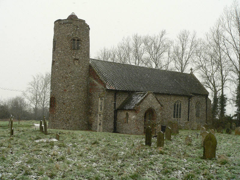
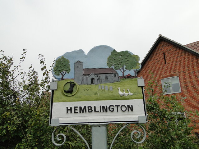
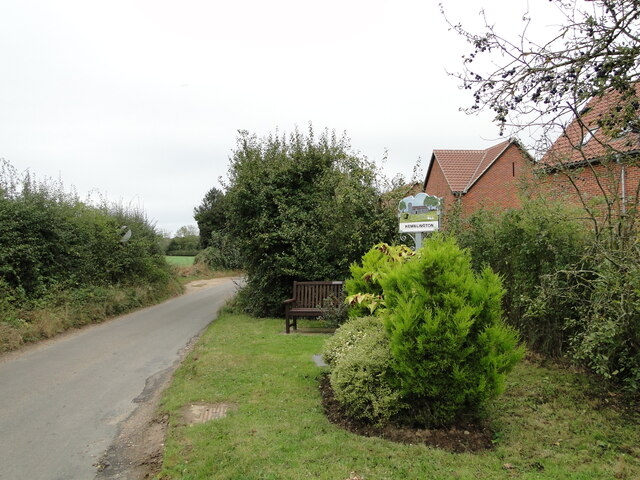
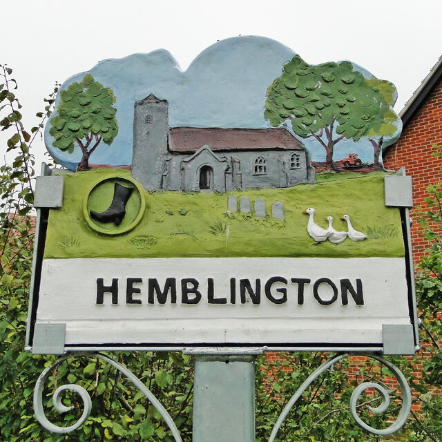
Hemblington
Hemblington is a civil parish in the English county of Norfolk, about 8 miles (13 km) east of Norwich. It covers an area of 3.03 km2 (1.17 sq mi) and had...
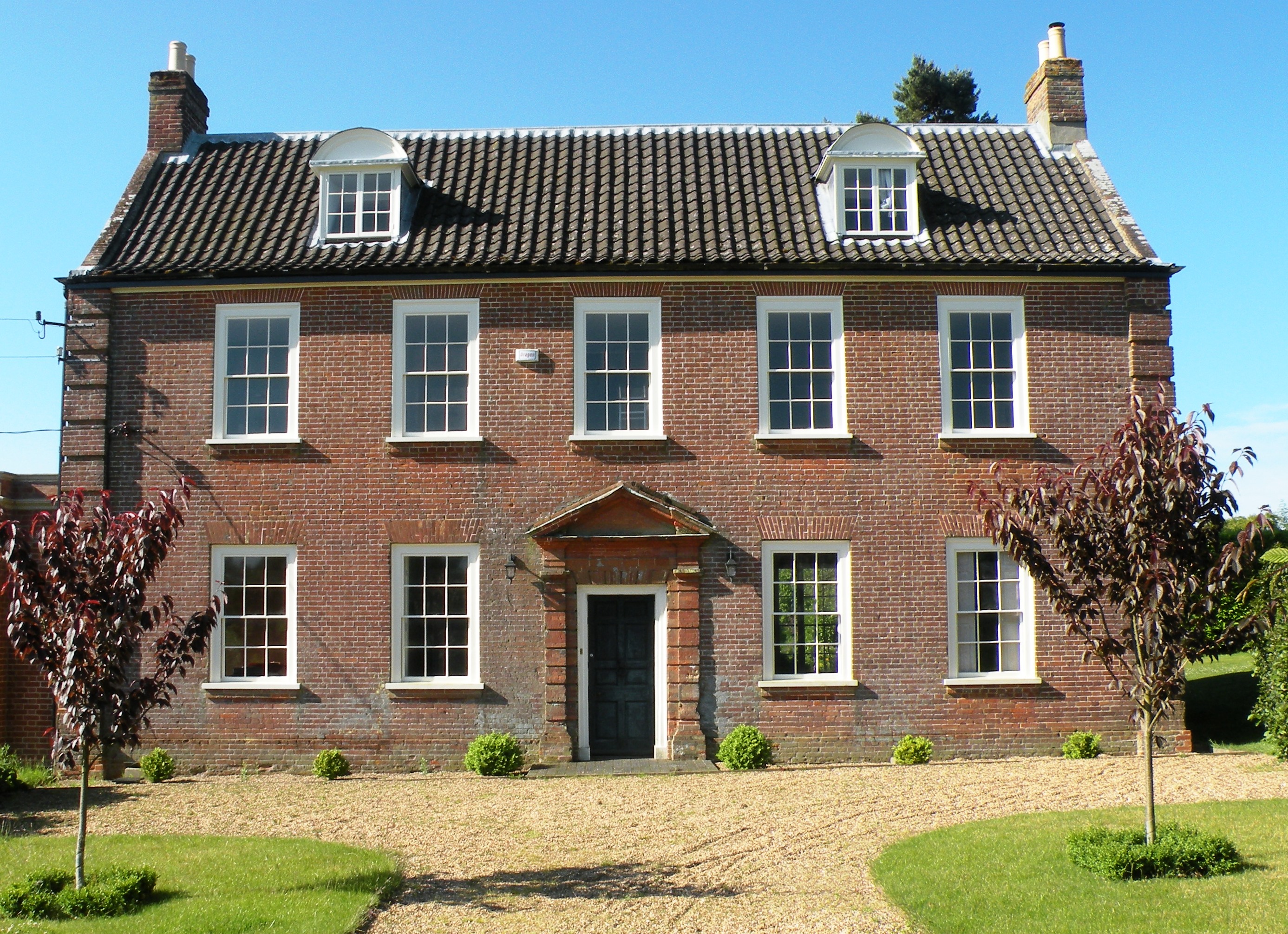
Hemblington Hall
Hemblington Hall is a large farmhouse in Norfolk county, England, built around 1700 with a Georgian facade. This grade II listed building was the home...

South Walsham
South Walsham is a village and civil parish in the English county of Norfolk. It covers an area of 11.43 km2 (4.41 sq mi) and had a population of 738 in...

Blofield Heath
Blofield Heath is a hamlet in the civil parish of Blofield, in the Broadland district, in the county of Norfolk, England. It is about 7 miles from Norwich...

Norwich United F.C.
Norwich United Football Club is a football club based in Blofield, Norfolk, England. Affiliated to the Norfolk County FA, they play at Plantation Park...
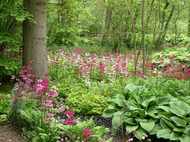
Fairhaven Woodland and Water Garden
Fairhaven Woodland and Water Garden, Norfolk, England, is a registered charity, comprising 131 acres (0.53 km2) of ancient woodland, woodland garden and...
Ranworth
Ranworth is a village in Norfolk, England in The Broads, adjacent to Malthouse Broad and Ranworth Broad. It is located in the civil parish of Woodbastwick...
Nearby Amenities
Located within 500m of 52.657422,1.4684586Have you been to Walsham Wood?
Leave your review of Walsham Wood below (or comments, questions and feedback).