Wayford Wood

Wood, Forest in Norfolk North Norfolk

England

Wayford Wood

On Tylers Cut Approaching a junction to the southeast of Dilham.
On Tylers Cut Credit: Martin Addison

The requested URL returned error: 429 Too Many Requests

If you have any feedback on the listing, please let us know in the comments section below.
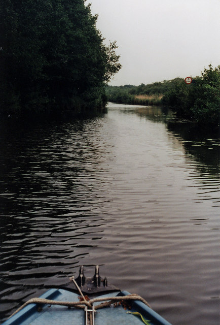
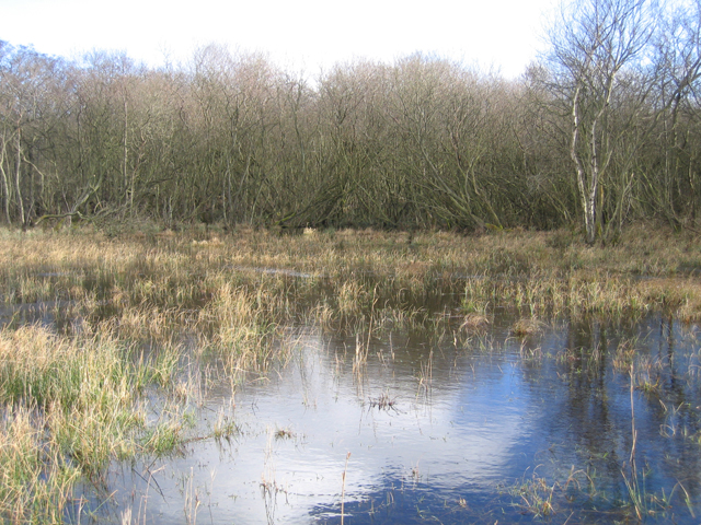
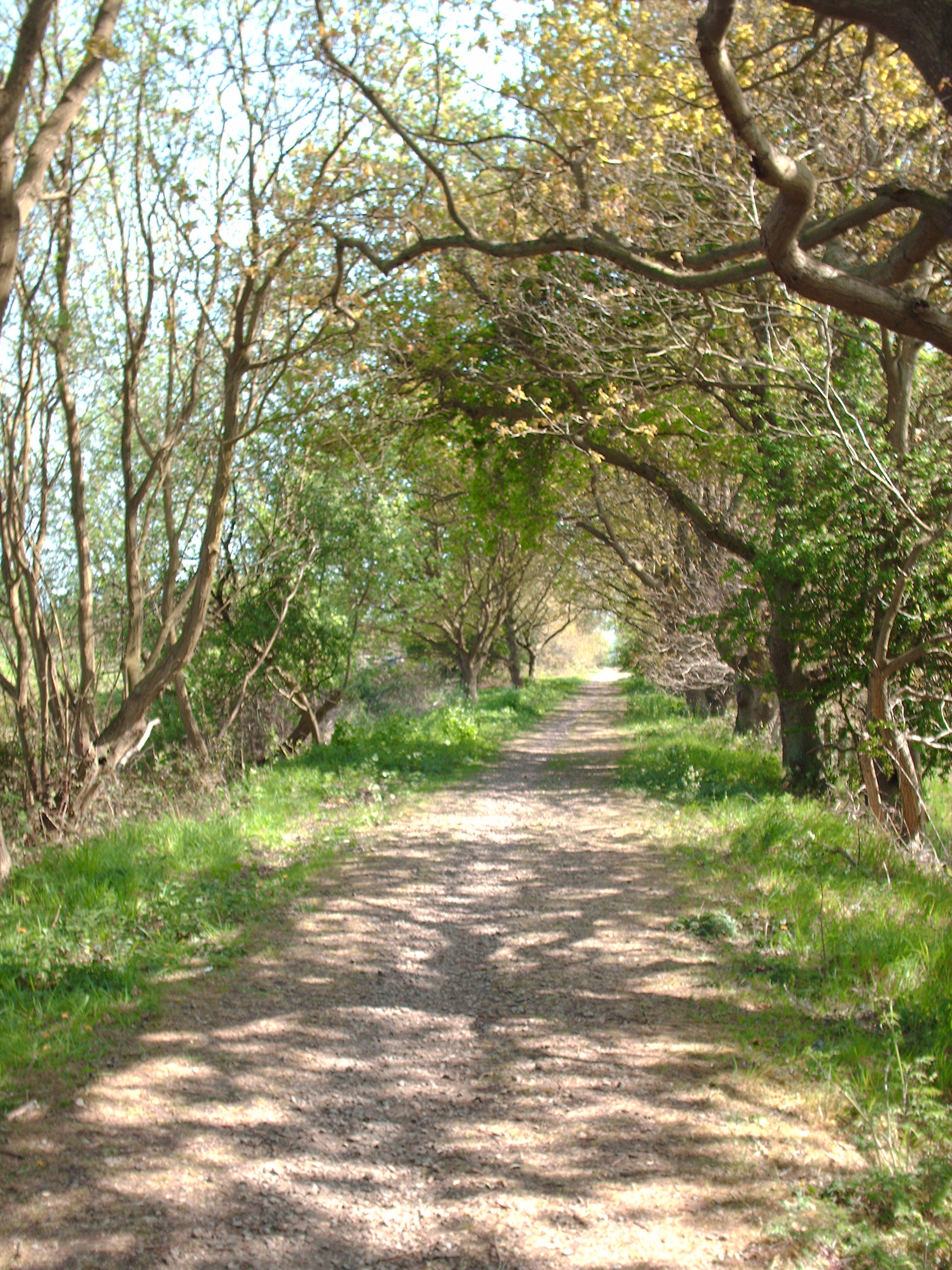
Wayford Wood Images

Images are sourced within 2km of 52.772156/1.4780405 or Grid Reference TG3425. Thanks to Geograph Open Source API. All images are credited.

On Tylers Cut Approaching a junction to the southeast of Dilham.
On Tylers Cut
Approaching a junction to the southeast of Dilham.
On Tylers Cut The Skipper keeps a weather eye for'rard whilst the Helmsman steers his course sou' by east from Dilham.

Taken on a trip with a retired work colleague from Dilham Staithe to Stalham.
On Tylers Cut
The Skipper keeps a weather eye for'rard whilst the Helmsman steers his course sou' by east from Dilham. Taken on a trip with a retired work colleague from Dilham Staithe to Stalham.
On the Weaver's Way, northwest of Stalham Much of the Weaver's Way between Stalham and Aylsham runs along the track bed of a disused railway which gives many miles of easy walking. It is feasible to walk from Stalham to Aylsham in a day by catching two morning buses, the first from Aylsham to North Walsham and a second from North Walsham to Stalham.
On the Weaver's Way, northwest of Stalham
Much of the Weaver's Way between Stalham and Aylsham runs along the track bed of a disused railway which gives many miles of easy walking. It is feasible to walk from Stalham to Aylsham in a day by catching two morning buses, the first from Aylsham to North Walsham and a second from North Walsham to Stalham.
Dilham Cross Keys, Jan 2014 "A stunning 56 pubs close every month - usually demolished or converted into housing.  Country pubs are disappearing the fastest.  More than half the villages of England are now 'dry' for the first time since the Norman Conquest." Mail Online 27-01-14
Dilham Cross Keys, Jan 2014
"A stunning 56 pubs close every month - usually demolished or converted into housing. Country pubs are disappearing the fastest. More than half the villages of England are now 'dry' for the first time since the Norman Conquest." Mail Online 27-01-14
South Fen Looking towards the North Walsham and Dilham Canal (disused)
South Fen
Looking towards the North Walsham and Dilham Canal (disused)
Trackway between South Fen and Broad Fen
South Fen, East Ruston
Pockmarked railway sleeper utilised as a gatepost
Footpath in South Fen
Hedge growing along a ditch in South Fen
View across pasture in South Fen The band of reeds seen in the background denotes the course of the Dilham canal.
View across pasture in South Fen
The band of reeds seen in the background denotes the course of the Dilham canal.
Drainage ditch in South Fen
Ditch separating North from South Fen
Pastures in South Fen
Footpath in South Fen
Rushes in South Fen pasture
Fields by Stalham
Fields by Stalham
Fields by Stalham
Fields by Stalham
Show me another place!

Wayford Wood is located at Grid Ref: TG3425 (Lat: 52.772156, Lng: 1.4780405)

Administrative County: Norfolk

District: North Norfolk

Police Authority: Norfolk

What 3 Words

///accented.rails.branded. Near Stalham, Norfolk

Nearby Locations

Wayford Wood Broad Fen

Related Wikis

Wayford Bridge

Wayford Bridge is a village on the River Ant on the A149 road, near Stalham in Norfolk, England within The Broads National Park. Due to height restrictions...

Broad Fen, Dilham

Broad Fen, Dilham is a 38.4-hectare (95-acre) biological Site of Special Scientific Interest north-east of Norwich in Norfolk. It is part of the Broadland...

Dilham

Dilham is a village and civil parish in the English county of Norfolk. The village is located 4.3 miles south-east of North Walsham and 12 miles north...

Weavers' Way

The Weavers' Way is a 61-mile (98 km) long-distance footpath in Norfolk, England. Much of the Weavers’ Way footpath follows the old trackbed of the Aylsham...

Nearby Amenities

Located within 500m of 52.772156,1.4780405
Woodfarm Inn, adj
Naptan AtcoCode: 2900S3914
Naptan Bearing: NE
Naptan BusStopType: CUS
Naptan CommonName: Woodfarm Inn
Naptan Indicator: adj
Naptan Locality: Wayford
Naptan NaptanCode: nfodtwaj
Naptan Street: Wayford Road
Naptan Verified: no
Source: naptan_import
Lat/Long: 52.7705808/1.4800472
Woodfarm Inn, opp
Naptan AtcoCode: 2900S3918
Naptan Bearing: SW
Naptan BusStopType: CUS
Naptan CommonName: Woodfarm Inn
Naptan Indicator: opp
Naptan Locality: Wayford
Naptan NaptanCode: nfodtwda
Naptan Street: Wayford Road
Naptan Verified: no
Source: naptan_import
Lat/Long: 52.7706985/1.480635
Shop: garden_centre
Lat/Long: 52.7735829/1.4835403
Access: private
Leisure: slipway
Lat/Long: 52.7690971/1.4827858
Turning Loop
Lat/Long: 52.771833/1.4787977
The data included in this document is from www.openstreetmap.org. The data is made available under ODbL.

Have you been to Wayford Wood?

Leave your review of Wayford Wood below (or comments, questions and feedback).