Long Grove
Wood, Forest in Suffolk East Suffolk
England
Long Grove

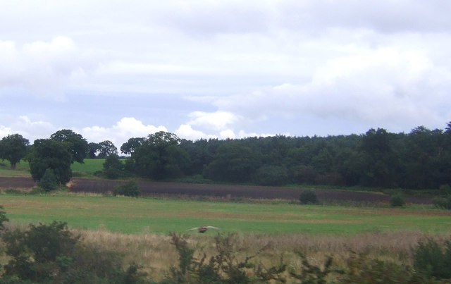
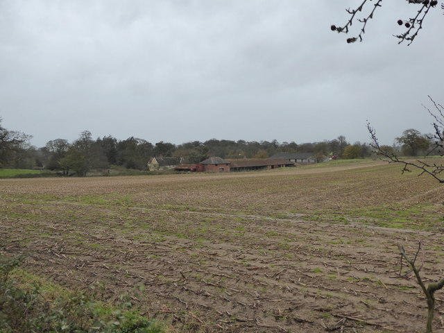
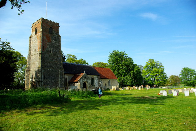
Long Grove is a picturesque woodland area located in Suffolk, England. Situated in the heart of the county, this enchanting forest is renowned for its natural beauty and tranquil atmosphere. Spanning over a vast expanse of land, Long Grove is a haven for nature enthusiasts and those seeking solace amidst the serene surroundings.
The forest boasts a diverse range of tree species, including oak, beech, and pine, which contribute to its lush greenery and vibrant ecosystem. Walking through the towering trees, visitors can witness an array of wildlife, such as deer, rabbits, and a variety of bird species. The forest floor is adorned with ferns, wildflowers, and moss, creating a captivating tapestry of colors and textures.
Long Grove offers several well-maintained walking trails, allowing visitors to explore the forest at their own pace. The trails wind through ancient woodlands, across babbling brooks, and up gentle hills, providing breathtaking views of the surrounding countryside.
In addition to its natural beauty, Long Grove also holds historical significance. The forest is home to a number of archaeological sites, including Iron Age hillforts and ancient burial mounds. These remnants of the past offer a glimpse into the rich history of the region and attract history enthusiasts and researchers alike.
For those seeking a peaceful retreat or a chance to connect with nature, Long Grove in Suffolk is a perfect destination. Its serene ambiance, diverse wildlife, and stunning landscapes make it an idyllic setting for outdoor activities, photography, and simply enjoying the tranquility of the natural world.
If you have any feedback on the listing, please let us know in the comments section below.
Long Grove Images
Images are sourced within 2km of 52.150795/1.4287337 or Grid Reference TM3455. Thanks to Geograph Open Source API. All images are credited.


Long Grove is located at Grid Ref: TM3455 (Lat: 52.150795, Lng: 1.4287337)
Administrative County: Suffolk
District: East Suffolk
Police Authority: Suffolk
What 3 Words
///fruits.grub.removers. Near Rendlesham, Suffolk
Nearby Locations
Related Wikis

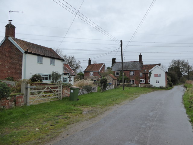
Campsea Ashe
Campsea Ashe (sometimes spelt Campsey Ash) is a village in Suffolk, England located approximately 5 miles (8 km) north east of Woodbridge and 6 miles...

Tunstall, Suffolk
On an Ordnance Survey map of Suffolk, England, there are two settlements named Tunstall next to each other, 7.5 miles (12.1 km) north east of Woodbridge...

Wickham Market railway station
Wickham Market railway station is on the East Suffolk Line in the east of England, located in Campsea Ashe, Suffolk, approximately 2 miles (3.2 km) east...

Rendlesham Hall
Rendlesham Hall was a large manor house in the village of Rendlesham in Suffolk. == History == The hall was built in the pointed style in 1780 and two...

Plomesgate Rural District
Plomesgate Rural District was a rural district within the administrative county of East Suffolk between 1894 and 1934. == History == The district had...

Blaxhall
Blaxhall is a village and civil parish in the East Suffolk district of the English county of Suffolk. Located around 8 miles (13 km) south-west of Leiston...

Rendlesham
Rendlesham is a village and civil parish near Woodbridge, Suffolk, United Kingdom. It was a royal centre of authority for the king of the East Angles....

RAF Bentwaters
Royal Air Force Bentwaters or more simply RAF Bentwaters, now known as Bentwaters Parks, is a former Royal Air Force station about 80 miles (130 km) northeast...
Nearby Amenities
Located within 500m of 52.150795,1.4287337Have you been to Long Grove?
Leave your review of Long Grove below (or comments, questions and feedback).