Broom Belt

Wood, Forest in Suffolk East Suffolk

England

Broom Belt

Road junction to Campsea Ashe on Ash Road
Road junction to Campsea Ashe on Ash Road Credit: Adrian S Pye

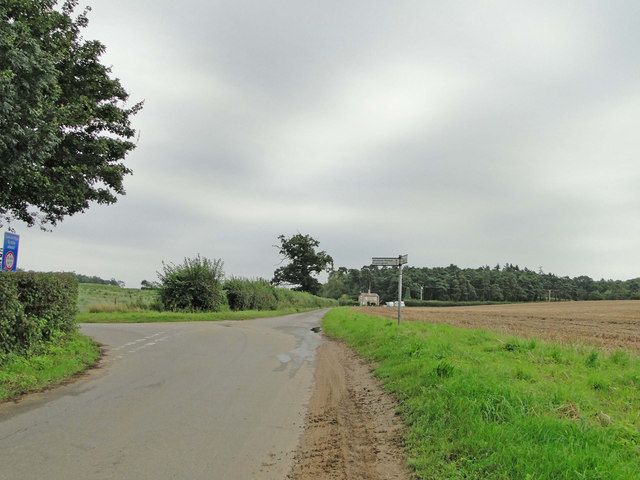
Broom Belt is a charming woodland area located in Suffolk, England. Situated in the eastern part of the county, Broom Belt is known for its picturesque landscape and serene environment. This woodland is a part of the larger Suffolk Coast and Heaths Area of Outstanding Natural Beauty, which further enhances its natural appeal.

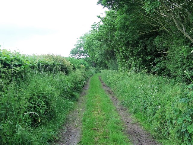
Covering an area of approximately 200 hectares, Broom Belt is predominantly composed of mixed woodland, featuring a variety of tree species including oak, beech, and birch. The forest floor is adorned with a rich carpet of bluebells, ferns, and other native flora, making it a haven for nature enthusiasts and photographers alike.

The woodland provides a habitat for a diverse range of wildlife, including deer, foxes, badgers, and a plethora of bird species. Birdwatchers often visit Broom Belt to catch a glimpse of rare species such as nightingales and woodpeckers, which can be spotted among the treetops.

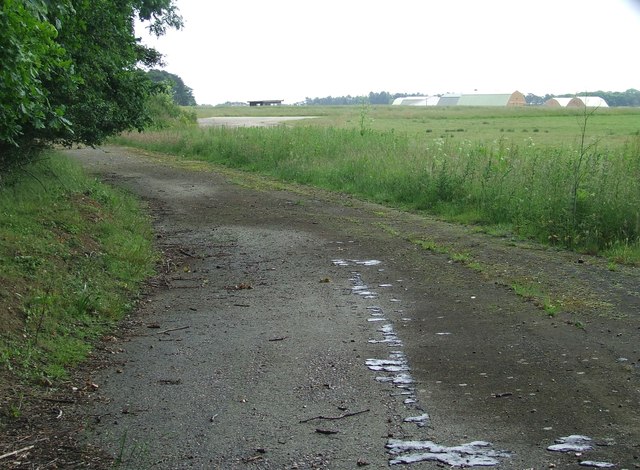
This tranquil woodland offers several walking trails and paths, allowing visitors to explore its beauty on foot. It is a popular destination for hikers, joggers, and dog walkers, who can enjoy the fresh air and peaceful surroundings. The Suffolk Wildlife Trust actively manages Broom Belt to preserve its natural habitats and ensure the conservation of its wildlife.

Broom Belt is easily accessible by car, with ample parking available nearby. Its proximity to the coast and other attractions in Suffolk makes it an ideal destination for a day trip or a weekend getaway. Whether you are seeking solitude or simply wish to immerse yourself in nature, Broom Belt is a captivating woodland that promises a memorable experience for all who visit.

If you have any feedback on the listing, please let us know in the comments section below.
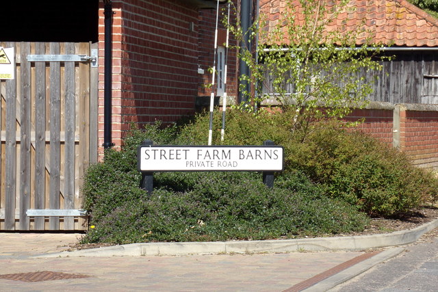
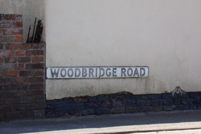
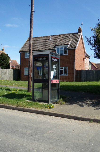
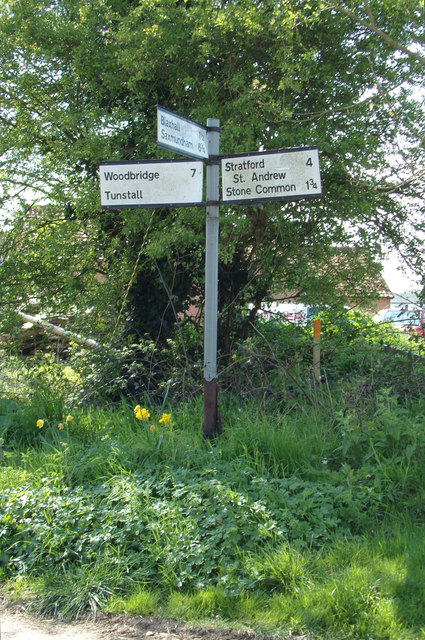
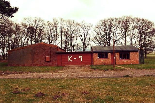
Broom Belt Images

Images are sourced within 2km of 52.131469/1.4279938 or Grid Reference TM3453. Thanks to Geograph Open Source API. All images are credited.

Road junction to Campsea Ashe on Ash Road
Part of the former USAF Bentwaters Looking through an old gate of USAF Bentwaters near to Rendlesham, Suffolk.
Part of the former USAF Bentwaters
Looking through an old gate of USAF Bentwaters near to Rendlesham, Suffolk.
Footpath Footpath looking east near to Campsea Ashe, Suffolk.
Footpath
Footpath looking east near to Campsea Ashe, Suffolk.
Walnut Tree Avenue Walnut Tree Avenue Rendlesham, Suffolk.
Walnut Tree Avenue
Walnut Tree Avenue Rendlesham, Suffolk.
Garden Square Looking along Garden Square Rendlesham, Suffolk.
Garden Square
Looking along Garden Square Rendlesham, Suffolk.
Cut Mark Rendlesham RAF Bentwaters Control Tower Cut Mark Rendlesham RAF Bentwaters Control Tower, W angle (building 61.)
Cut Mark Rendlesham RAF Bentwaters Control Tower
Cut Mark Rendlesham RAF Bentwaters Control Tower, W angle (building 61.)
B1078 Ash Road, Tunstall At the entrance to Tunstall Village Hall
B1078 Ash Road, Tunstall
At the entrance to Tunstall Village Hall
B1078 Ash Road, Tunstall Looking towards the entrance to Tunstall Village Hall
B1078 Ash Road, Tunstall
Looking towards the entrance to Tunstall Village Hall
Tunstall Defibrillator On The Green Man Public House off the B1069 Woodbridge Road at the junction with the B1078 Ash Road
Tunstall Defibrillator
On The Green Man Public House off the B1069 Woodbridge Road at the junction with the B1078 Ash Road
School Road, Tunstall At the junction with Street Farm Barns
School Road, Tunstall
At the junction with Street Farm Barns
B1078 Ash Road, Tunstall At the junction with B1069 Woodbridge Road near The Green Man Public House
B1078 Ash Road, Tunstall
At the junction with B1069 Woodbridge Road near The Green Man Public House
B1069 Woodbridge Road, Tunstall At the junction with the B1078 Ash Road near the Green Man Public House
B1069 Woodbridge Road, Tunstall
At the junction with the B1078 Ash Road near the Green Man Public House
Street Farm Barns sign On Street Farm Barns at the junction with School Road
Street Farm Barns sign
On Street Farm Barns at the junction with School Road
Woodbridge Road sign On the B1069 Woodbridge Road at the junction with Ash Road
Woodbridge Road sign
On the B1069 Woodbridge Road at the junction with Ash Road
Telephone Box on School Road At the junction with Street Farm Barns
Telephone Box on School Road
At the junction with Street Farm Barns
Signpost off School Road At the junction with Blaxhall Church Road
Signpost off School Road
At the junction with Blaxhall Church Road
RAF Bentwaters Building 661 Police Dog Kennels RAF Bentwaters Building 661 Police Dog Kennels
RAF Bentwaters Building 661 Police Dog Kennels
RAF Bentwaters Missile Shop RAF Bentwaters Missile Shop.
.
RAF Bentwaters Missile Shop
RAF Bentwaters Missile Shop. .
Show me another place!

Broom Belt is located at Grid Ref: TM3453 (Lat: 52.131469, Lng: 1.4279938)

Administrative County: Suffolk

District: East Suffolk

Police Authority: Suffolk

What 3 Words

///wide.rinse.escalates. Near Rendlesham, Suffolk

Related Wikis

RAF Bentwaters

Royal Air Force Bentwaters or more simply RAF Bentwaters, now known as Bentwaters Parks, is a former Royal Air Force station about 80 miles (130 km) northeast...

Rendlesham

Rendlesham is a village and civil parish near Woodbridge, Suffolk, United Kingdom. It was a royal centre of authority for the king of the East Angles....

Rendlesham Hall

Rendlesham Hall was a large manor house in the village of Rendlesham in Suffolk. == History == The hall was built in the pointed style in 1780 and two...

Tunstall, Suffolk

On an Ordnance Survey map of Suffolk, England, there are two settlements named Tunstall next to each other, 7.5 miles (12.1 km) north east of Woodbridge...

Sandlings Forest

Sandlings Forest is a 2,483.8 hectare biological Site of Special Scientific Interest in two large blocks, Rendlesham Forest and Tunstall Forest, and two...

Campsea Ashe

Campsea Ashe (sometimes spelt Campsey Ash) is a village in Suffolk, England located approximately 5 miles (8 km) north east of Woodbridge and 6 miles...

Wickham Market railway station

Wickham Market railway station is on the East Suffolk Line in the east of England, located in Campsea Ashe, Suffolk, approximately 2 miles (3.2 km) east...

Campsey Priory

Campsey Priory, (Campesse, Kampessie, etc.), was a religious house of Augustinian canonesses at Campsea Ashe, Suffolk, about 1.5 miles (2.5 km) south east...

Nearby Amenities

Located within 500m of 52.131469,1.4279938
Mini Roundabout
Lat/Long: 52.1321272/1.4322281
Barrier: bollard
Lat/Long: 52.1347381/1.4310886
Power: pole
Lat/Long: 52.134358/1.4310576
Power: pole
Lat/Long: 52.1350378/1.4314286
Power: pole
Lat/Long: 52.1344504/1.4309665
Post Box
Collection Times: Mo-Fr 16:45; Sa 09:00
Post Box Type: pillar
Ref: IP12 8220
Royal Cypher: EIIR
Royal Cypher Wikidata: Q33102113
Lat/Long: 52.1276566/1.4270035
Bentwaters RAF airport control tower
Man Made: tower
Service: aircraft_control
Tower Type: observation
Lat/Long: 52.1289157/1.4321398
Man Made: tower
Tower Type: communication
Lat/Long: 52.1318937/1.4337554
Barrier: bollard
Lat/Long: 52.1286978/1.4337234
Barrier: bollard
Lat/Long: 52.1287085/1.4336116
Barrier: bollard
Lat/Long: 52.1287129/1.4335661
Barrier: bollard
Lat/Long: 52.1287178/1.4335152
Barrier: bollard
Lat/Long: 52.1287035/1.4336637
Animal Boarding
Happi Days
Addr City: Woodbridge
Addr Housename: America House
Addr Place: Base Business Park
Addr Postcode: IP12 2TW
Addr Unit: Unit 11
Addr Village: Rendlesham
Animal Boarding: dog
Description: Dog day care and boarding centre
Email: admin@happidayscentre.co.uk
Opening Hours: Mo-Fr 07:00-18:00
Website: https://happidayscentre.co.uk/locations/rendlesham/
Lat/Long: 52.1309467/1.4301165
Generator Method: photovoltaic
Generator Output Electricity: yes
Generator Source: solar
Generator Type: solar_photovoltaic_panel
Location: roof
Power: generator
Lat/Long: 52.1294254/1.4279236
Generator Method: photovoltaic
Generator Output Electricity: yes
Generator Source: solar
Generator Type: solar_photovoltaic_panel
Location: roof
Power: generator
Lat/Long: 52.1288235/1.4222386
Generator Method: photovoltaic
Generator Output Electricity: yes
Generator Source: solar
Generator Type: solar_photovoltaic_panel
Location: roof
Power: generator
Lat/Long: 52.1335638/1.4220858
Generator Method: photovoltaic
Generator Output Electricity: yes
Generator Source: solar
Generator Type: solar_photovoltaic_panel
Location: roof
Power: generator
Lat/Long: 52.1317379/1.4212999
Generator Method: photovoltaic
Generator Output Electricity: yes
Generator Source: solar
Generator Type: solar_photovoltaic_panel
Location: roof
Power: generator
Lat/Long: 52.131705/1.4213803
Generator Method: photovoltaic
Generator Output Electricity: yes
Generator Source: solar
Generator Type: solar_photovoltaic_panel
Location: roof
Power: generator
Lat/Long: 52.1310431/1.4216593
Generator Method: photovoltaic
Generator Output Electricity: yes
Generator Source: solar
Generator Type: solar_photovoltaic_panel
Location: roof
Power: generator
Lat/Long: 52.1309953/1.4222494
Generator Method: photovoltaic
Generator Output Electricity: yes
Generator Source: solar
Generator Type: solar_photovoltaic_panel
Location: roof
Power: generator
Lat/Long: 52.1298897/1.4214689
Generator Method: photovoltaic
Generator Output Electricity: yes
Generator Source: solar
Generator Type: solar_photovoltaic_panel
Location: roof
Power: generator
Lat/Long: 52.129632/1.4223406
Generator Method: photovoltaic
Generator Output Electricity: yes
Generator Source: solar
Generator Type: solar_photovoltaic_panel
Location: roof
Power: generator
Lat/Long: 52.1298773/1.4229467
Generator Method: photovoltaic
Generator Output Electricity: yes
Generator Source: solar
Generator Type: solar_photovoltaic_panel
Location: roof
Power: generator
Lat/Long: 52.1296271/1.4223996
Generator Method: photovoltaic
Generator Output Electricity: yes
Generator Source: solar
Generator Type: solar_photovoltaic_panel
Location: roof
Power: generator
Lat/Long: 52.1303054/1.4211953
Generator Method: photovoltaic
Generator Output Electricity: yes
Generator Source: solar
Generator Type: solar_photovoltaic_panel
Location: roof
Power: generator
Lat/Long: 52.130065/1.4219007
Generator Method: photovoltaic
Generator Output Electricity: yes
Generator Source: solar
Generator Type: solar_photovoltaic_panel
Location: roof
Power: generator
Lat/Long: 52.1300025/1.4219597
Generator Method: photovoltaic
Generator Output Electricity: yes
Generator Source: solar
Generator Type: solar_photovoltaic_panel
Location: roof
Power: generator
Lat/Long: 52.1305837/1.4218202
Generator Method: photovoltaic
Generator Output Electricity: yes
Generator Source: solar
Generator Type: solar_photovoltaic_panel
Location: roof
Power: generator
Lat/Long: 52.1306298/1.4219999
Generator Method: photovoltaic
Generator Output Electricity: yes
Generator Source: solar
Generator Type: solar_photovoltaic_panel
Location: roof
Power: generator
Lat/Long: 52.1304536/1.4229789
Generator Method: photovoltaic
Generator Output Electricity: yes
Generator Source: solar
Generator Type: solar_photovoltaic_panel
Location: roof
Power: generator
Lat/Long: 52.1303515/1.4230755
Entrance: yes
Lat/Long: 52.1312983/1.4316745
Bentwaters Cold War Museum
Address: Building 134, Bentwaters Parks, Rendlesham, Woodbridge IP12 2TW
Tourism: museum
Website: https://www.bcwm.org.uk/
Lat/Long: 52.1313332/1.4320936
Entrance: yes
Lat/Long: 52.1309504/1.4323153
The data included in this document is from www.openstreetmap.org. The data is made available under ODbL.

Have you been to Broom Belt?

Leave your review of Broom Belt below (or comments, questions and feedback).