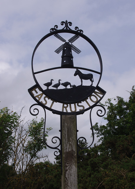
Alder Carr

Wood, Forest in Norfolk North Norfolk

England

Alder Carr

Ridlington village sign The sign features an owl (I think) the church and is surmounted by a representation of a horse-drawn plough.
Ridlington village sign Credit: Adrian S Pye

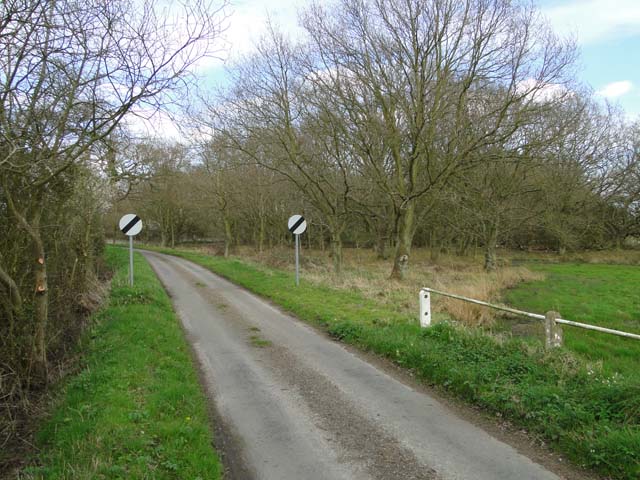
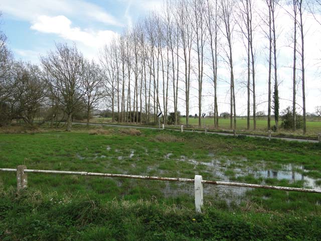
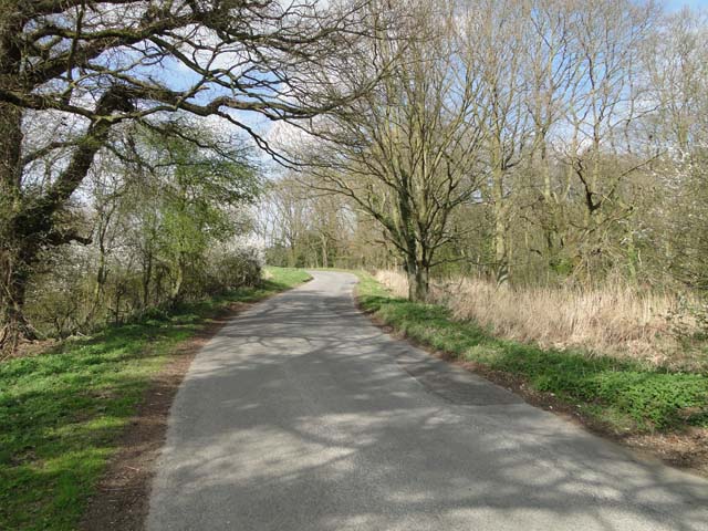
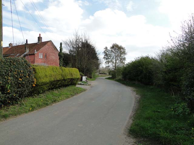
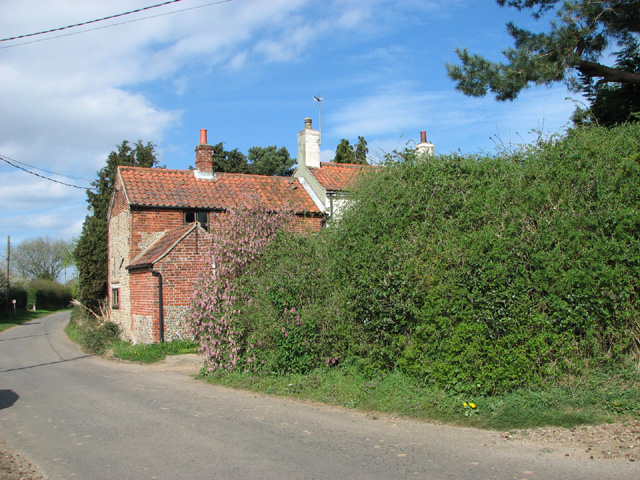
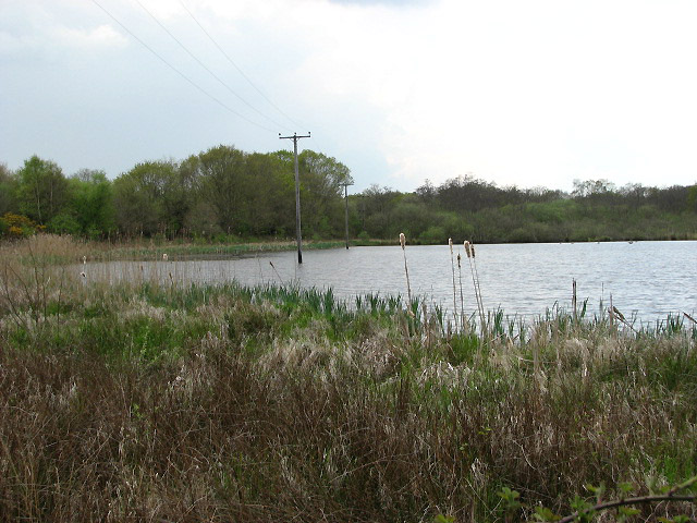
Alder Carr is a charming woodland area located in Norfolk, England. Nestled amidst the picturesque landscape, this dense forest is known for its lush greenery and tranquil ambiance. The name "Carr" refers to a type of wetland or swamp, indicating the presence of water bodies within the wood.

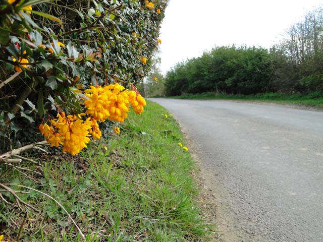
Covering a vast expanse, Alder Carr is home to a diverse range of flora and fauna. The dominant tree species in the forest is the alder tree, which gives the area its name. These majestic trees thrive in the moist soil conditions created by the nearby water sources. The dense canopy of alder trees creates a shaded and cool environment underneath, offering a pleasant respite from the sun.

The forest is teeming with wildlife, making it a popular spot for nature enthusiasts and birdwatchers. Bird species such as woodpeckers, kingfishers, and owls can be spotted perched on branches or flying overhead. The forest floor is home to various small mammals, including foxes, rabbits, and squirrels.

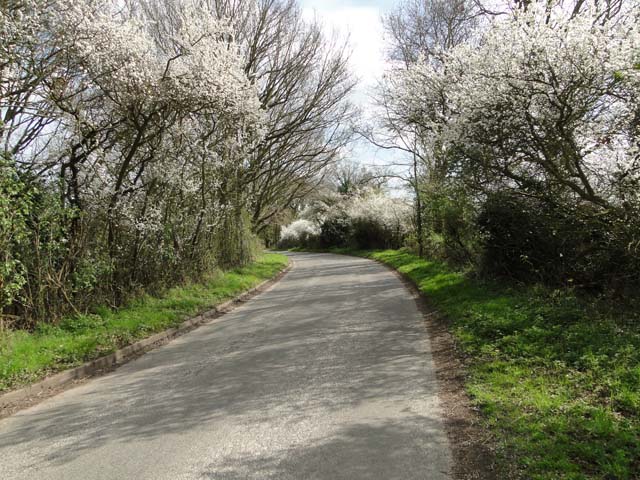
Alder Carr provides ample opportunities for outdoor activities and recreation. Walking trails wind through the forest, allowing visitors to explore its beauty at their own pace. Picnic areas and benches are scattered throughout the woodland, providing perfect spots to relax and enjoy the peaceful surroundings.

Overall, Alder Carr is a haven for nature lovers, offering a serene escape from the hustle and bustle of city life. With its diverse ecosystem and natural beauty, it is a must-visit destination for those seeking to reconnect with nature in Norfolk.

If you have any feedback on the listing, please let us know in the comments section below.
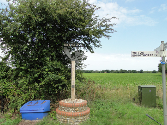
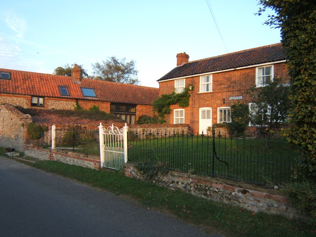
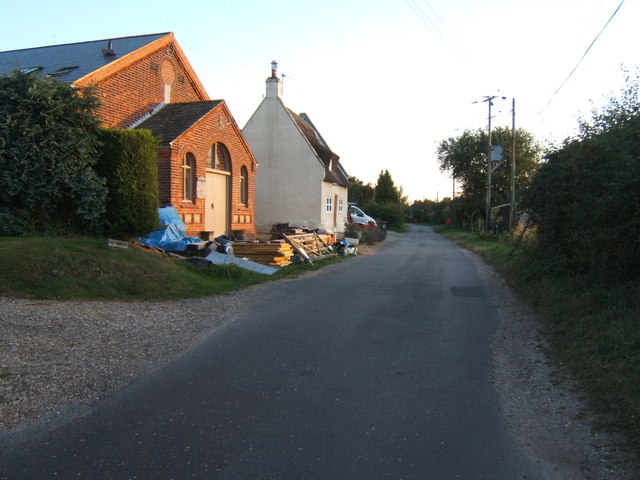
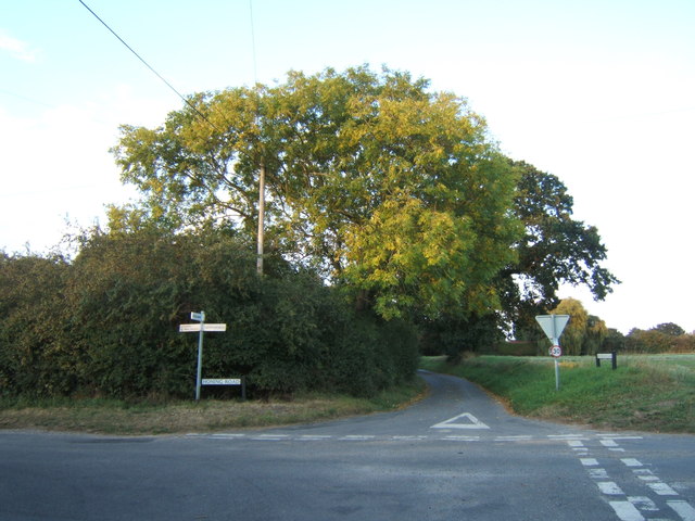
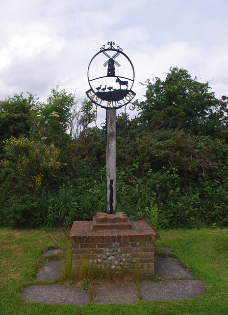
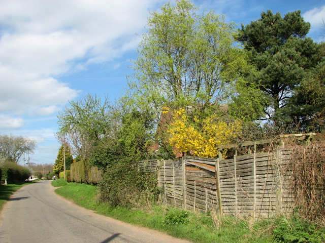
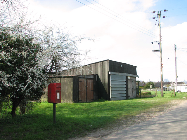
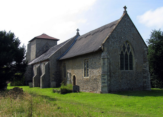
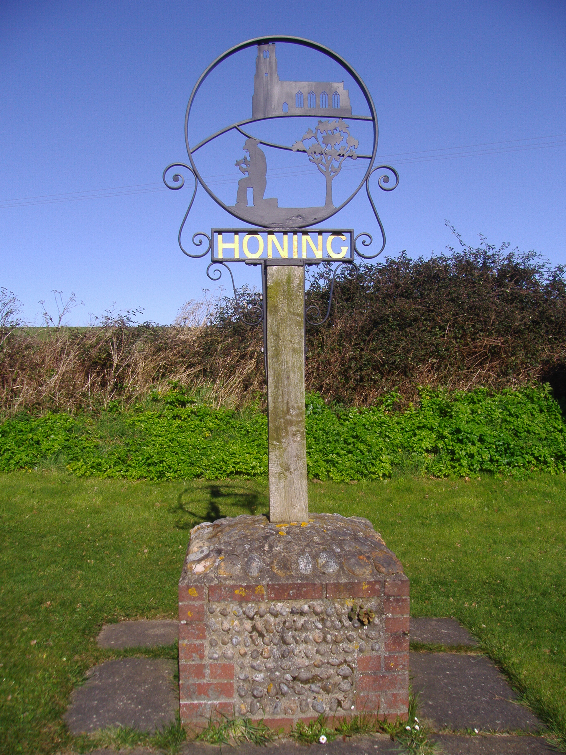
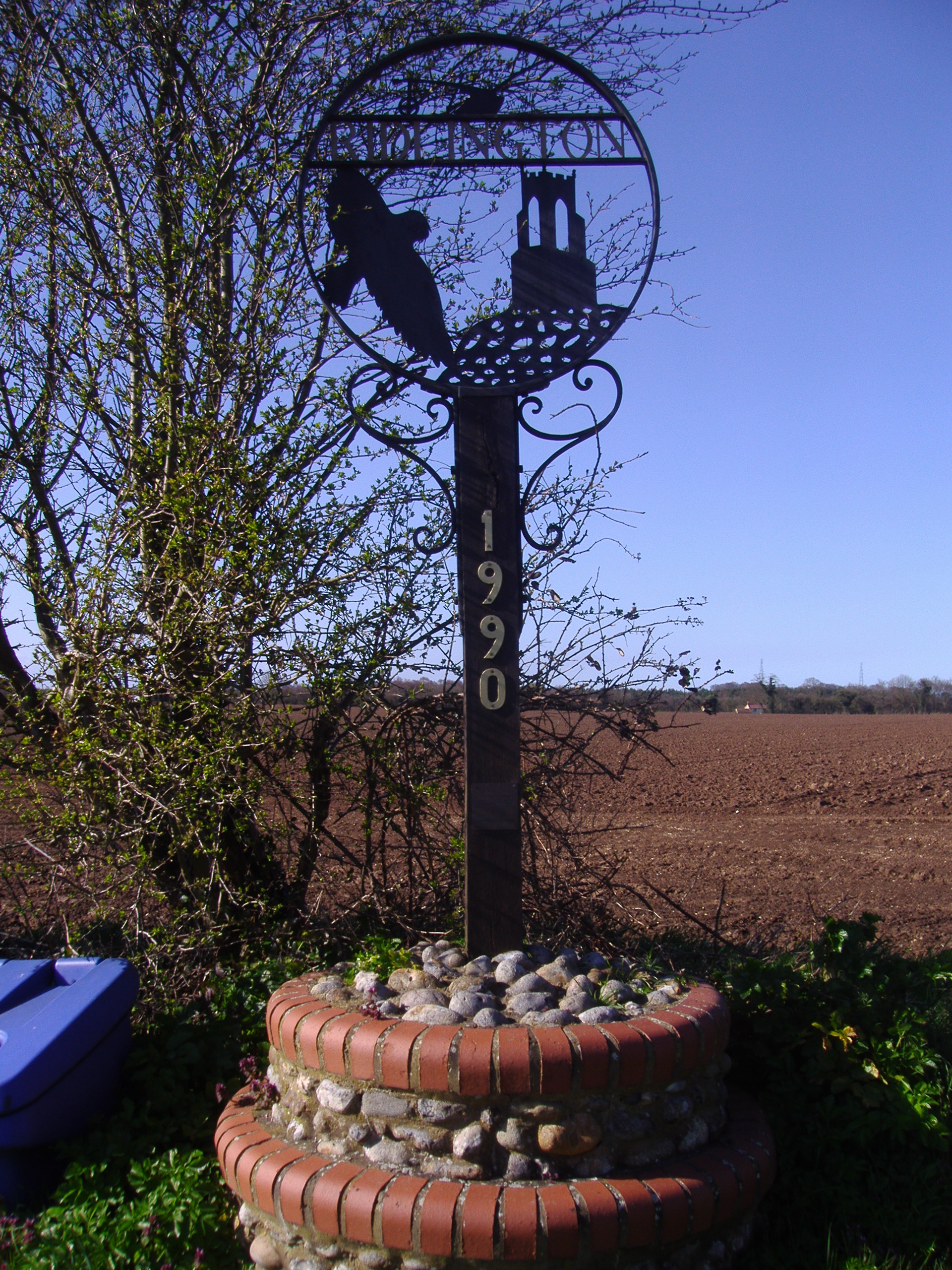
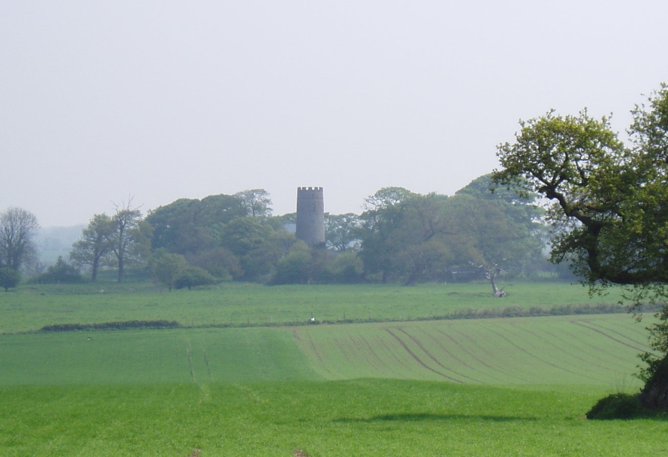
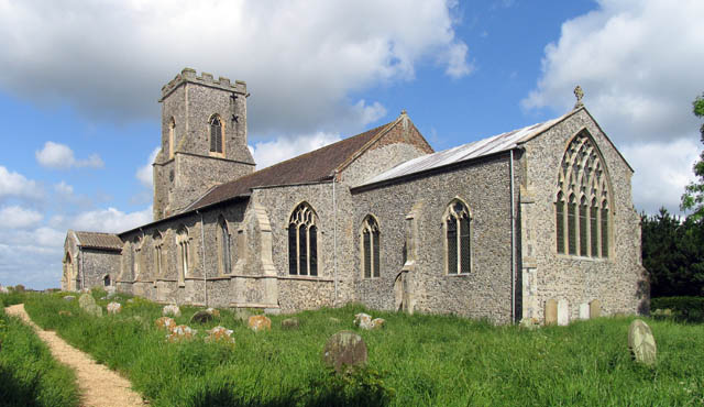
Alder Carr Images

Images are sourced within 2km of 52.808987/1.4721957 or Grid Reference TG3429. Thanks to Geograph Open Source API. All images are credited.

Ridlington village sign The sign features an owl (I think) the church and is surmounted by a representation of a horse-drawn plough.
Ridlington village sign
The sign features an owl (I think) the church and is surmounted by a representation of a horse-drawn plough.
Ridlington World War One Memorial There were no losses recorded in WW2.
Ridlington World War One Memorial
There were no losses recorded in WW2.
Road junction, East Ruston Approaching the village from Honing.
Road junction, East Ruston
Approaching the village from Honing.
Chapel Road, East Ruston
The Old Post Office On Chapel Road, East Ruston.
The Old Post Office
On Chapel Road, East Ruston.
Chapel restoration, East Ruston The chapel after which Chapel Street is named, is being renovated to make a residence.
Chapel restoration, East Ruston
The chapel after which Chapel Street is named, is being renovated to make a residence.
Crossroads, East Ruston Looking northward - compare with <a href="https://www.geograph.org.uk/photo/3329213">TG3427 : Road junction, East Ruston</a>.
Crossroads, East Ruston
Looking northward - compare with TG3427 : Road junction, East Ruston.
East Ruston village sign See <a href="https://www.geograph.org.uk/photo/3540999">TG3428 : East Ruston village sign</a> for a closer view.
East Ruston village sign
See TG3428 : East Ruston village sign for a closer view.
East Ruston village sign See <a href="https://www.geograph.org.uk/photo/3540997">TG3428 : East Ruston village sign</a> for a view of the whole sign.
East Ruston village sign
See TG3428 : East Ruston village sign for a view of the whole sign.
Crostwight Common Road
A row of poplar trees and boggy ground From Crostwight Common Road
A row of poplar trees and boggy ground
From Crostwight Common Road
Road through flowering blackthorn At East Ruston Road, Horning.
Road through flowering blackthorn
At East Ruston Road, Horning.
East Ruston Road, Honing
Chapel Road, East Ruston
berberis in Chapel Road, East Ruston
View along Chapel Road, East Ruston
Flowering forsythia in Chapel Road
Sheds and postbox in Chapel Road, East Ruston
Show me another place!

Alder Carr is located at Grid Ref: TG3429 (Lat: 52.808987, Lng: 1.4721957)

Administrative County: Norfolk

District: North Norfolk

Police Authority: Norfolk

What 3 Words

///friction.oasis.camcorder. Near Bacton, Norfolk

Related Wikis

Nearby Amenities

Located within 500m of 52.808987,1.4721957
Power: pole
Lat/Long: 52.8058682/1.4690164
Power: pole
Lat/Long: 52.8050121/1.4694563
Power: pole
Lat/Long: 52.8046618/1.4737505
Power: pole
Lat/Long: 52.8050745/1.4721385
The data included in this document is from www.openstreetmap.org. The data is made available under ODbL.

Have you been to Alder Carr?

Leave your review of Alder Carr below (or comments, questions and feedback).