Longfield Belt
Wood, Forest in Suffolk East Suffolk
England
Longfield Belt
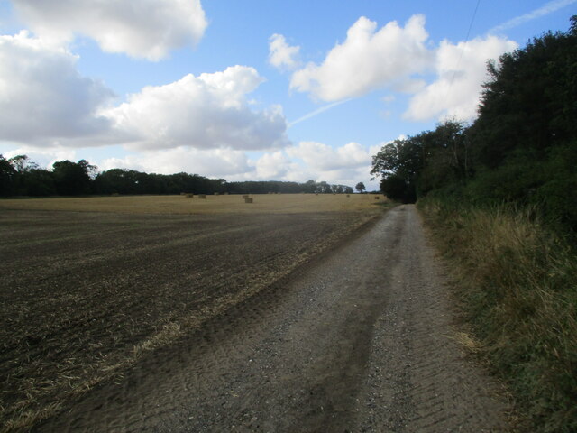
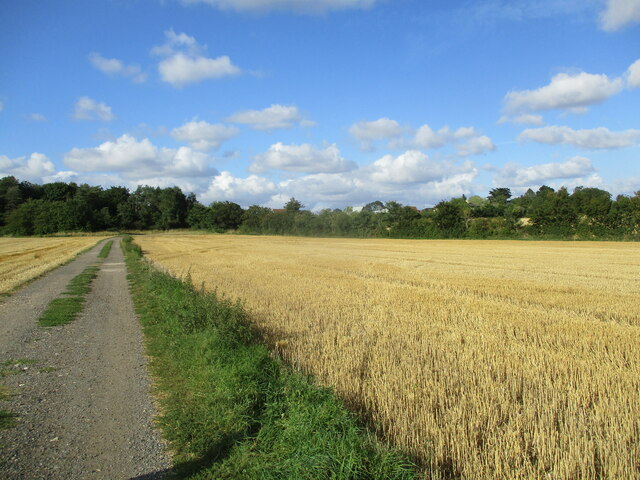
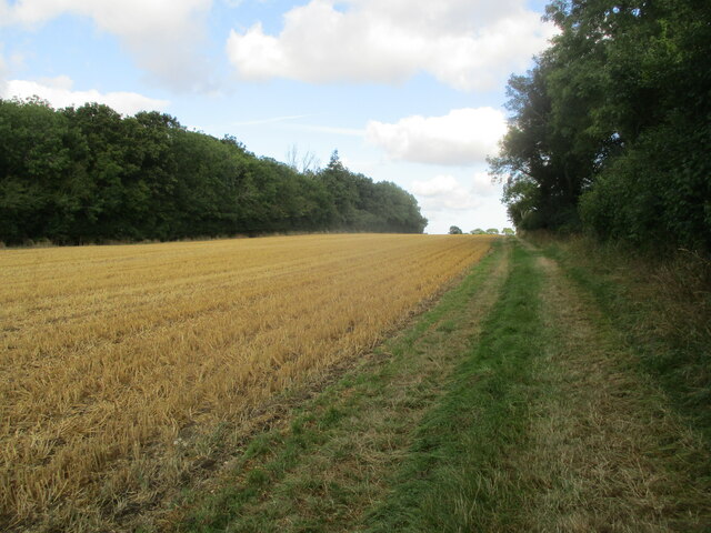
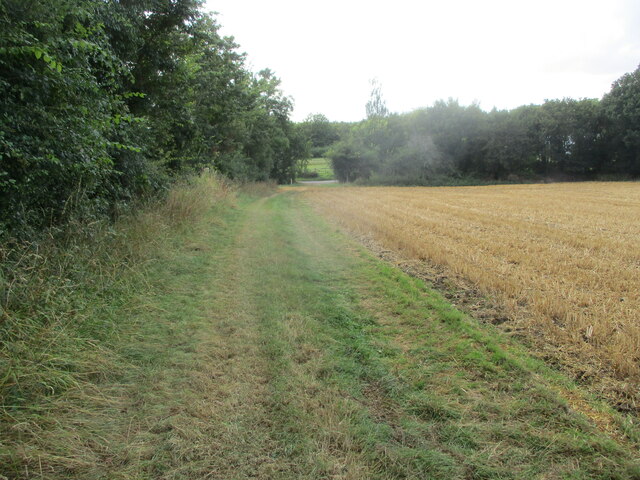
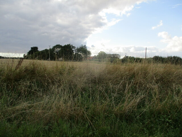
Longfield Belt, Suffolk is a picturesque woodland located in the county of Suffolk, England. Spanning an area of approximately 200 acres, it is renowned for its natural beauty and diverse ecosystem. The belt is predominantly composed of deciduous trees, including oak, beech, and birch, which create a lush and vibrant canopy throughout the year.
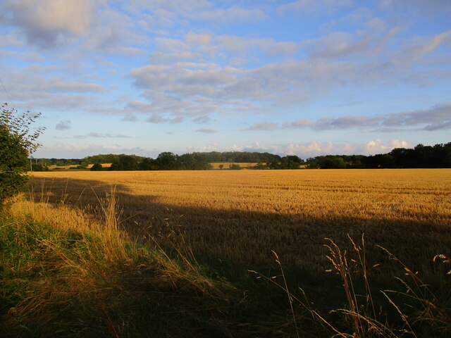
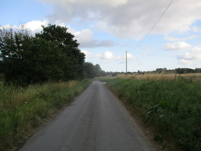
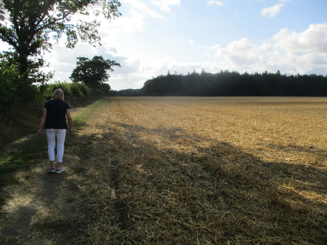
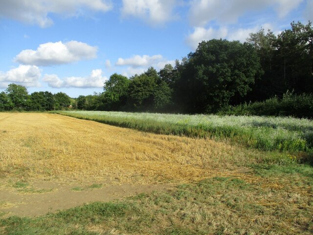
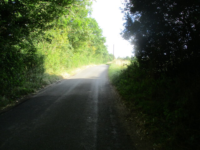
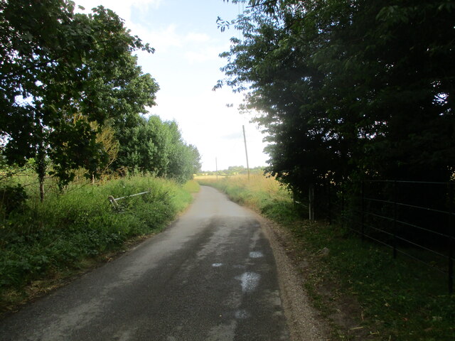
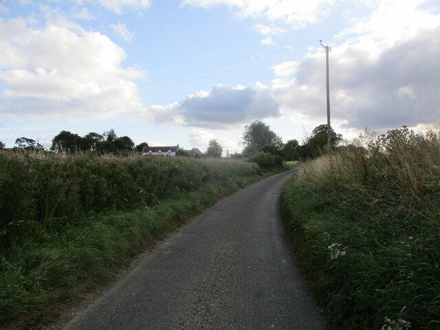
The woodland is situated in a rural area, providing a tranquil and peaceful setting for visitors to enjoy. It is a popular destination for nature enthusiasts, hikers, and photographers, who are drawn to its unspoiled charm and scenic trails. The well-maintained paths allow visitors to explore the woodland on foot, taking in the sights and sounds of the surrounding wildlife.
Longfield Belt is also home to a variety of animal species, including deer, foxes, badgers, and numerous bird species. Birdwatchers can spot species such as woodpeckers, owls, and various songbirds. The woodland provides a rich habitat for these creatures, with its dense foliage and abundance of food sources.
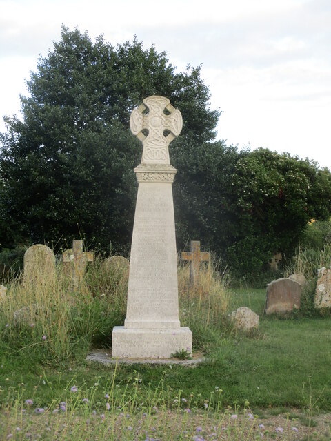
In addition to its natural beauty, Longfield Belt also holds historical significance. It is believed to have been used as a hunting ground by nobility in the medieval period. Remnants of old structures and earthworks can still be found scattered throughout the woodland, adding an air of mystery and intrigue to the area.
Overall, Longfield Belt, Suffolk is a captivating woodland that offers a serene escape from the hustle and bustle of modern life. Its combination of natural splendor, diverse wildlife, and historical importance make it a must-visit destination for nature lovers and history enthusiasts alike.
If you have any feedback on the listing, please let us know in the comments section below.
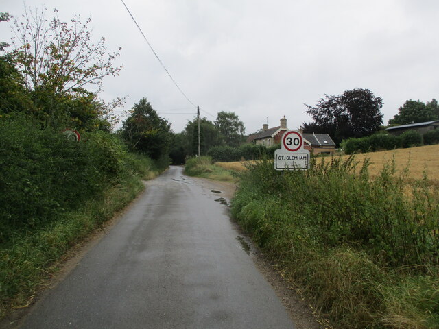
Longfield Belt Images
Images are sourced within 2km of 52.213262/1.4255957 or Grid Reference TM3462. Thanks to Geograph Open Source API. All images are credited.
Longfield Belt is located at Grid Ref: TM3462 (Lat: 52.213262, Lng: 1.4255957)
Administrative County: Suffolk
District: East Suffolk
Police Authority: Suffolk
What 3 Words
///snowy.blues.replays. Near Saxmundham, Suffolk
Nearby Locations
Related Wikis

Norwich Crag Formation
The Norwich Crag Formation is a stratigraphic unit of the British Pleistocene Epoch. It is the second youngest unit of the Crag Group, a sequence of four...

Great Glemham
Great Glemham is a village and civil parish in the East Suffolk district, England, a mile and a half to the west of the A12 and roughly equidistant between...

Sweffling
Sweffling is a village and a civil parish in the East Suffolk district, in the county of Suffolk, England. Nearby settlements include the town of Saxmundham...

Rendham
Rendham is a village and civil parish on the B1119 road, in the East Suffolk district, in the English county of Suffolk. It is near the town Saxmundham...
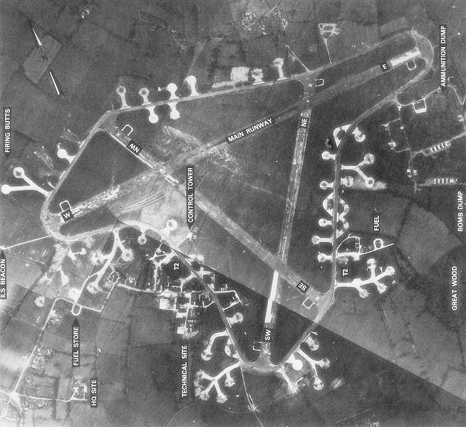
RAF Framlingham
Royal Air Force Framlingham or more simply RAF Framlingham is a former Royal Air Force station located 3 miles (4.8 km) southeast of Framlingham, Suffolk...
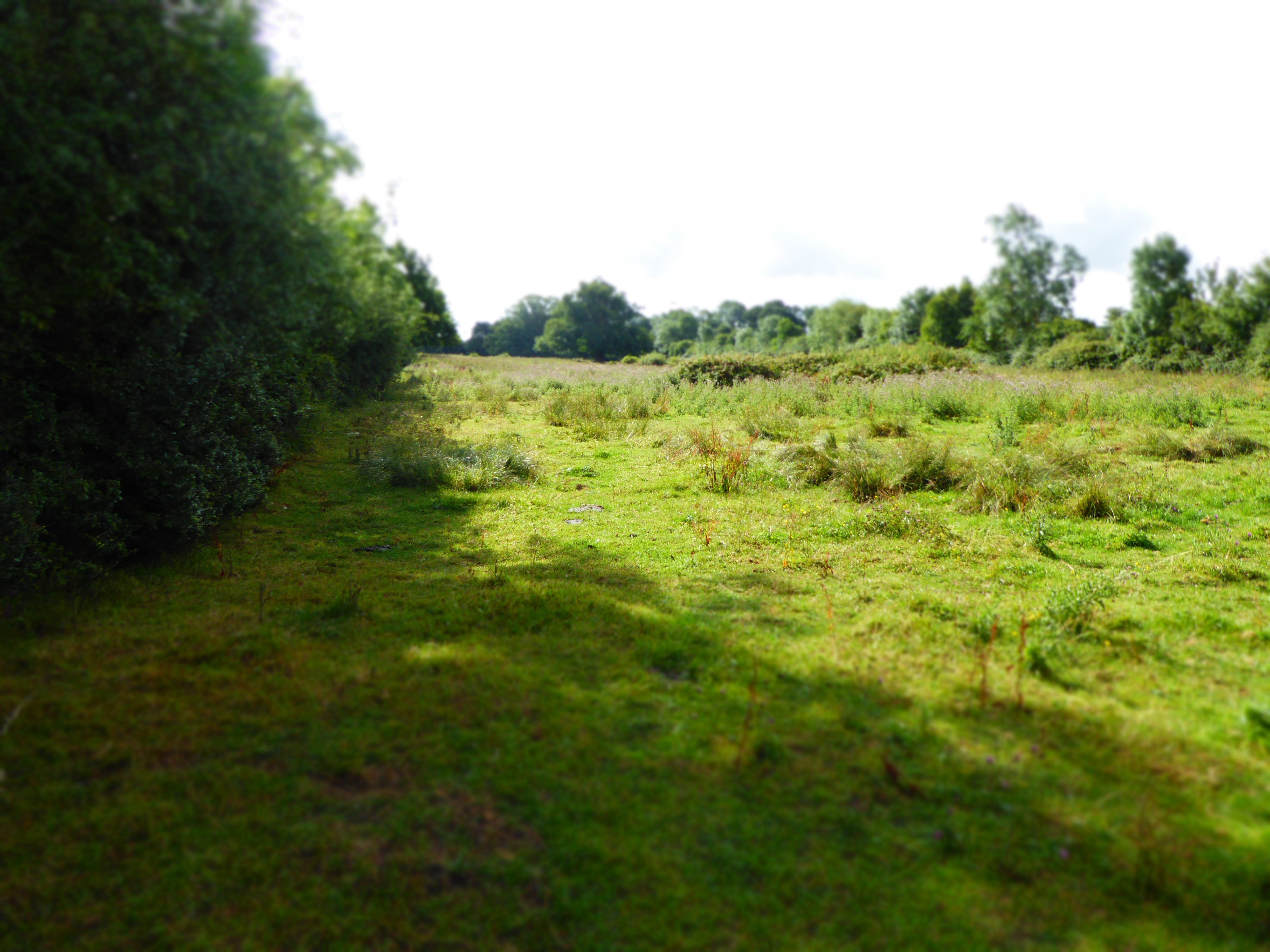
Cransford Meadow
Cransford Meadow is a 4.6-hectare (11-acre) biological Site of Special Scientific Interest south of Cransford in Suffolk.This unimproved grassland site...

Parham Airfield Museum
Parham Airfield Museum is a museum in Framlingham in Suffolk, England. The airfield was named after the village of Parham in Suffolk famously linked to...

Benhall Street
Benhall Street is a village in Suffolk, England.
Have you been to Longfield Belt?
Leave your review of Longfield Belt below (or comments, questions and feedback).