Heath Plantation
Wood, Forest in Norfolk North Norfolk
England
Heath Plantation

Heath Plantation, located in Norfolk, England, is a picturesque woodland area that spans over a vast expanse of approximately 200 acres. This serene and tranquil forest, also known as Wood or Forest, offers a diverse range of flora and fauna, making it a popular destination for nature enthusiasts and hikers alike.
The plantation is characterized by its dense canopy of towering trees, primarily consisting of oak, beech, and birch varieties. These majestic trees create a captivating ambiance, providing shade and shelter to a myriad of wildlife species that call Heath Plantation their home. The forest floor is adorned with a rich carpet of moss, ferns, and wildflowers, adding to the enchanting allure of the surroundings.
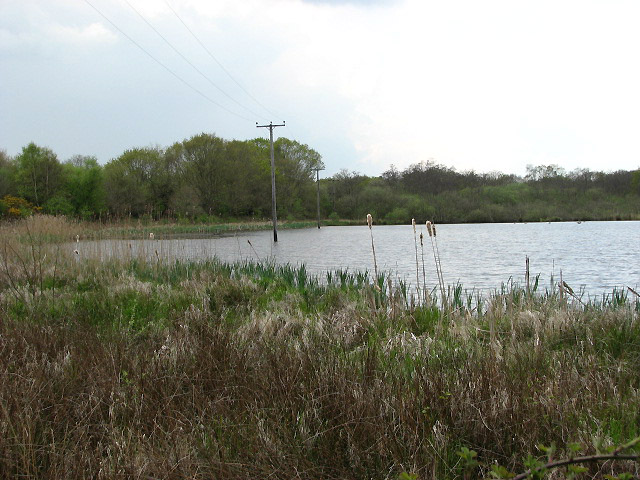
Several walking trails crisscross the plantation, offering visitors the opportunity to explore its natural beauty at their own pace. Along these trails, one can encounter native animals such as deer, squirrels, and a diverse array of bird species. The plantation is also home to a small lake, which further enhances the scenic beauty of the area.
Heath Plantation is not only admired for its natural splendor but also serves as an important ecological site. The forest plays a crucial role in maintaining the local ecosystem, providing a habitat for many rare and endangered species. The area is carefully managed to ensure the preservation of its natural resources and to promote biodiversity.
Overall, Heath Plantation in Norfolk is a captivating woodland retreat, offering visitors an opportunity to immerse themselves in the wonders of nature and experience the tranquility of a truly remarkable forest ecosystem.
If you have any feedback on the listing, please let us know in the comments section below.
Heath Plantation Images
Images are sourced within 2km of 52.814431/1.4782411 or Grid Reference TG3429. Thanks to Geograph Open Source API. All images are credited.


Heath Plantation is located at Grid Ref: TG3429 (Lat: 52.814431, Lng: 1.4782411)
Administrative County: Norfolk
District: North Norfolk
Police Authority: Norfolk
What 3 Words
///humid.fuse.horn. Near Bacton, Norfolk
Nearby Locations
Related Wikis
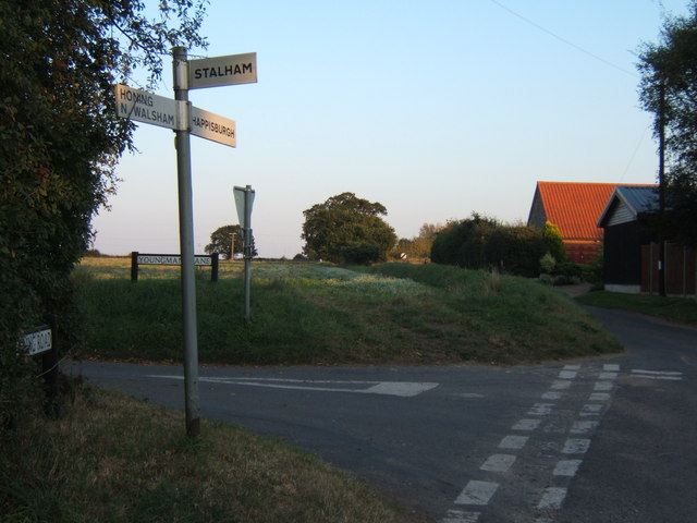
Crostwight
Crostwight is a small village and former civil parish, now in the parish of Honing, in the North Norfolk district, in the north-east of the county of Norfolk...
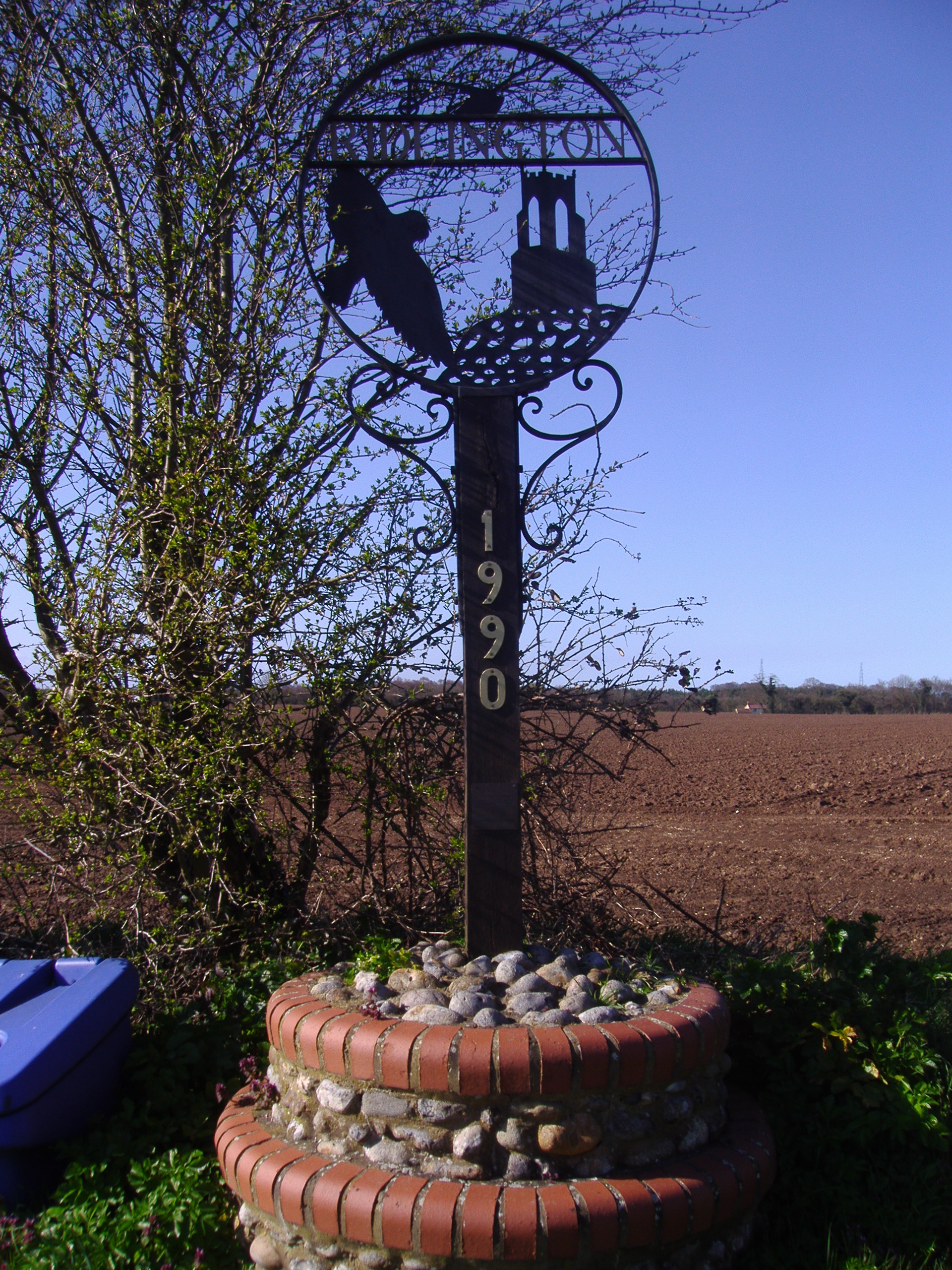
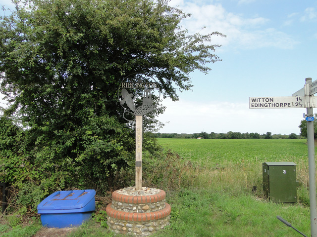
Ridlington, Norfolk
Ridlington is a village and former civil parish, now in the parish of Witton, in the North Norfolk district, in the county of Norfolk, England. The village...
Witton, North Norfolk
Witton is a village and civil parish in the English county of Norfolk. It is located 8 km (5.0 mi) east of the town of North Walsham and 30 km (19 mi)...
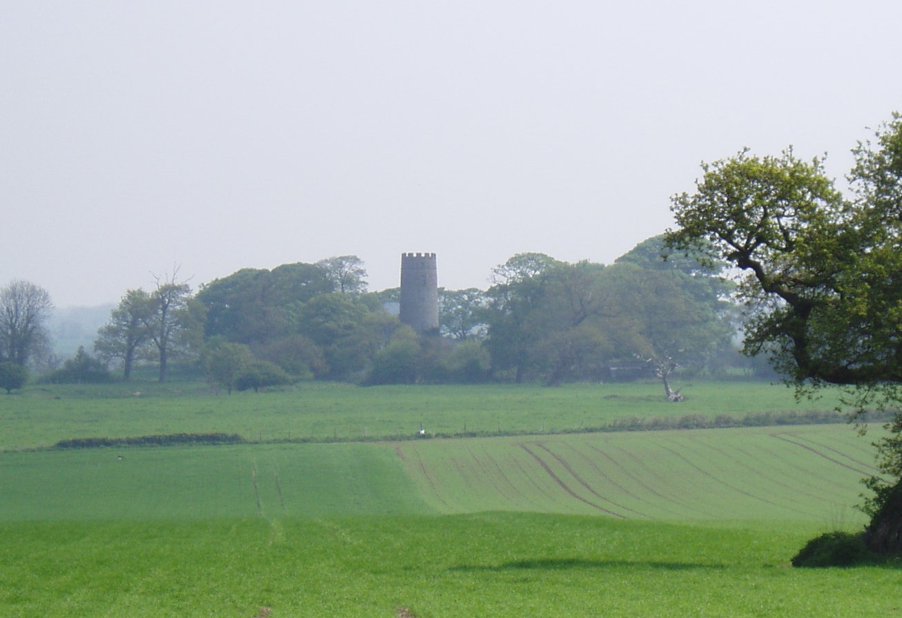
East Ruston Common
East Ruston Common is a 34.5-hectare (85-acre) biological Site of Special Scientific Interest south-east of North Walsham om Norfolk.This is an area of...

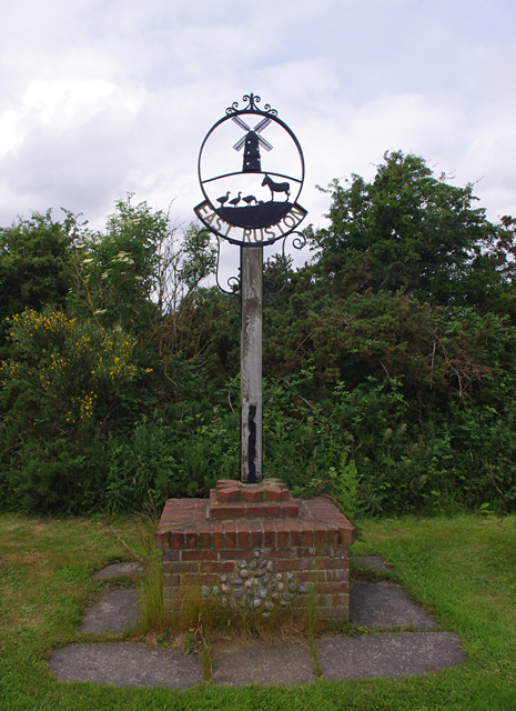
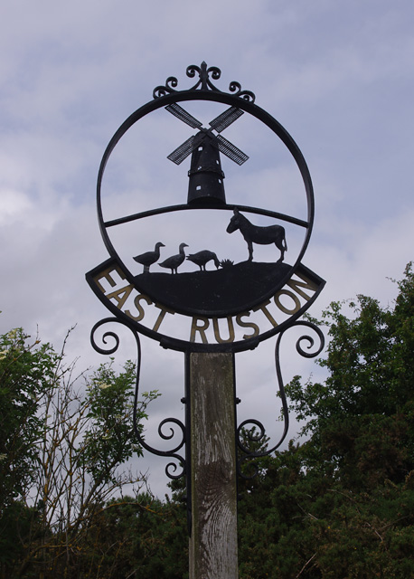
East Ruston
East Ruston is a village and a civil parish in the English county of Norfolk. The village is located 4.1 miles (6.6 km) south-east of North Walsham and...
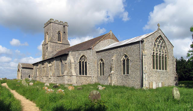
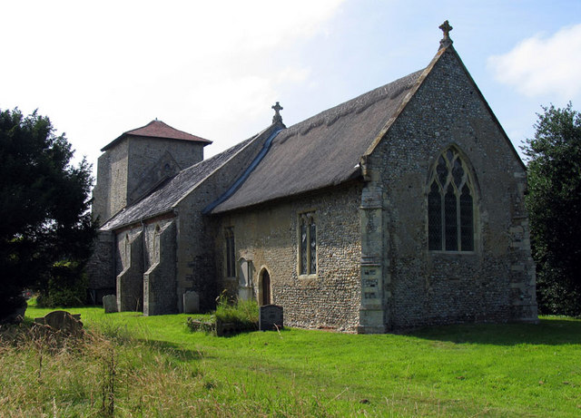
St Mary's Church, East Ruston
St Mary's Church is a redundant Anglican church in the village of East Ruston, Norfolk, England. It is recorded in the National Heritage List for England...

East Ruston Old Vicarage
East Ruston Old Vicarage Gardens is a notable privately owned garden in the county of Norfolk at East Ruston in Eastern England. The gardens were established...
Honing, Norfolk
Honing is a village and a civil parish in the English county of Norfolk. The village is 15 miles (24 km) north-northeast of Norwich, 13 miles (21 km) south...
Nearby Amenities
Located within 500m of 52.814431,1.4782411Have you been to Heath Plantation?
Leave your review of Heath Plantation below (or comments, questions and feedback).