Crostwight Heath
Downs, Moorland in Norfolk North Norfolk
England
Crostwight Heath
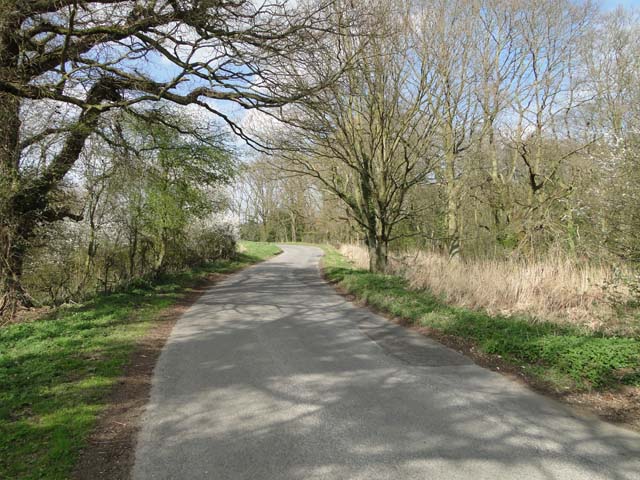
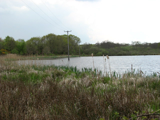
Crostwight Heath is a vast expanse of heathland located in the county of Norfolk, England. Situated between the villages of Crostwight and North Walsham, this area is renowned for its natural beauty and unique wildlife.
Covering an area of approximately 200 hectares, Crostwight Heath is predominantly characterized by open expanses of heather and gorse, interspersed with patches of grassland and scattered trees. This mosaic of habitats provides a diverse range of ecological niches, attracting a rich variety of flora and fauna.
The heath is home to several species of bird, including the rare nightjar, woodlark, and stonechat, which can be observed throughout the year. Additionally, the area serves as a vital breeding ground for many reptiles, such as adders and common lizards, as well as various species of butterflies and dragonflies.
Visitors to Crostwight Heath can enjoy a network of footpaths and trails that wind their way through the heathland, offering stunning views and opportunities for peaceful walks. The area is also a favorite among photographers, as it provides a picturesque backdrop of rolling hills, vibrant heather blooms, and golden sunsets.
Managed by Norfolk Wildlife Trust, Crostwight Heath is committed to the conservation and preservation of this unique habitat. Efforts are made to control invasive species, maintain the delicate balance of the ecosystem, and provide a safe environment for the diverse range of wildlife that calls this heathland their home.
In conclusion, Crostwight Heath is a cherished natural treasure in Norfolk, offering visitors an opportunity to immerse themselves in the beauty of unspoiled heathland and encounter a multitude of fascinating species.
If you have any feedback on the listing, please let us know in the comments section below.
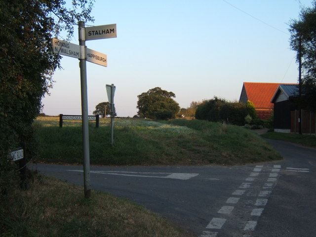
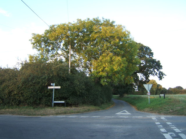
Crostwight Heath Images
Images are sourced within 2km of 52.814435/1.4793398 or Grid Reference TG3429. Thanks to Geograph Open Source API. All images are credited.


Crostwight Heath is located at Grid Ref: TG3429 (Lat: 52.814435, Lng: 1.4793398)
Administrative County: Norfolk
District: North Norfolk
Police Authority: Norfolk
What 3 Words
///reports.decisive.twinkled. Near Bacton, Norfolk
Nearby Locations
Related Wikis
Crostwight
Crostwight is a small village and former civil parish, now in the parish of Honing, in the North Norfolk district, in the north-east of the county of Norfolk...
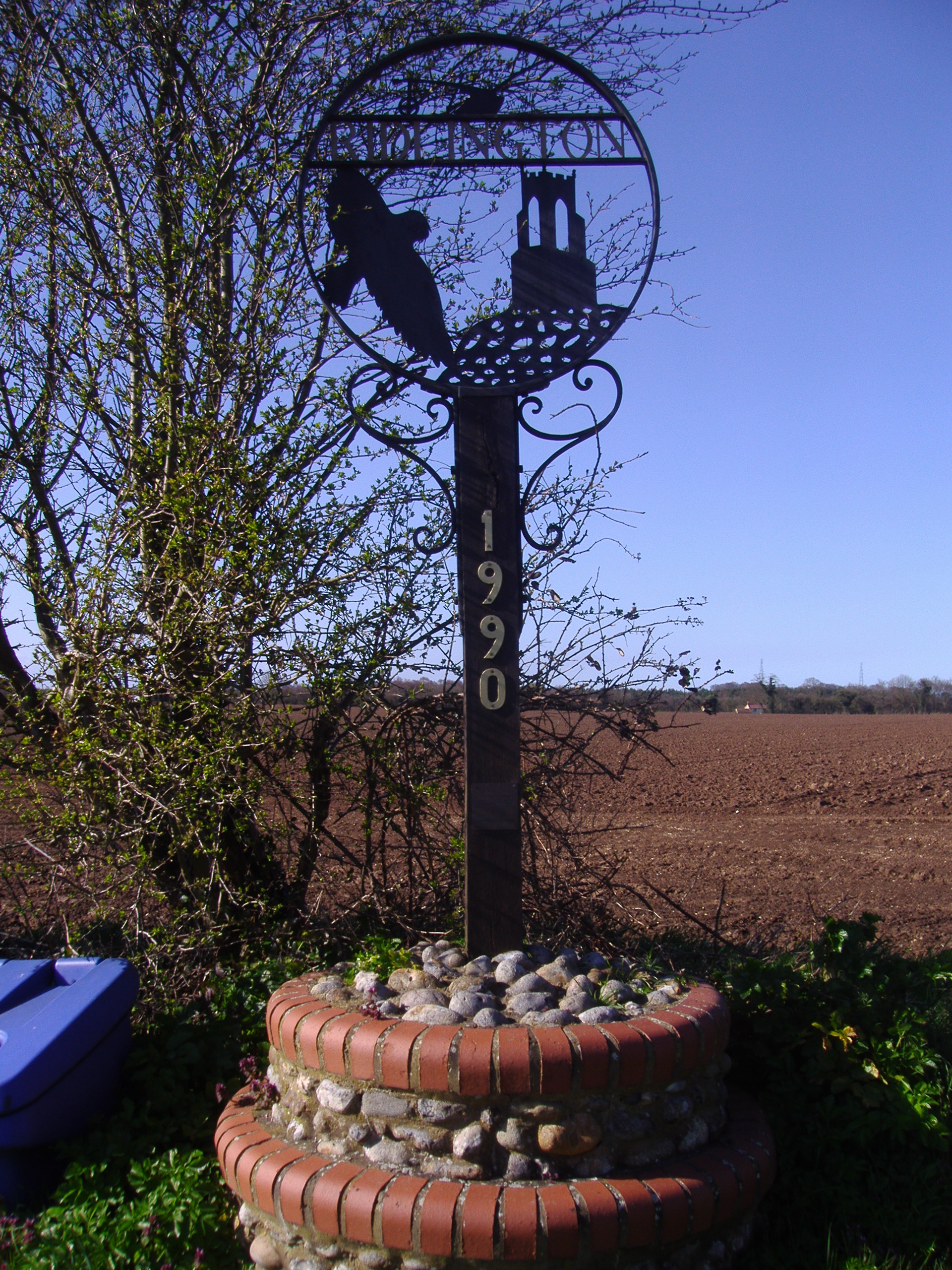
Ridlington, Norfolk
Ridlington is a village and former civil parish, now in the parish of Witton, in the North Norfolk district, in the county of Norfolk, England. The village...
Witton, North Norfolk
Witton is a village and civil parish in the English county of Norfolk. It is located 8 km (5.0 mi) east of the town of North Walsham and 30 km (19 mi)...
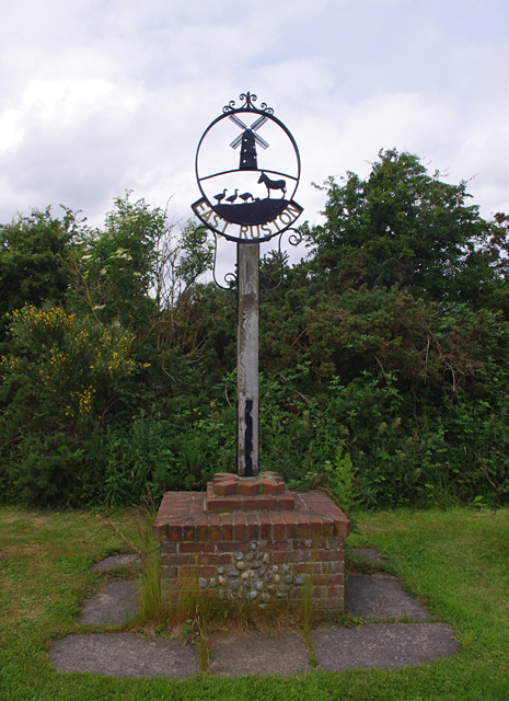
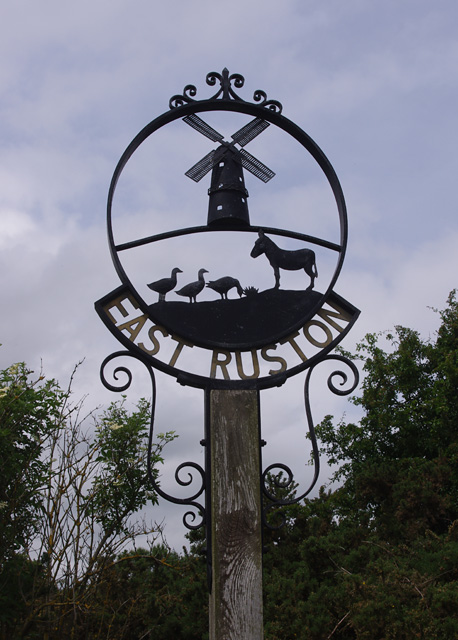
East Ruston Common
East Ruston Common is a 34.5-hectare (85-acre) biological Site of Special Scientific Interest south-east of North Walsham om Norfolk.This is an area of...

East Ruston
East Ruston is a village and a civil parish in the English county of Norfolk. The village is located 4.1 miles (6.6 km) south-east of North Walsham and...
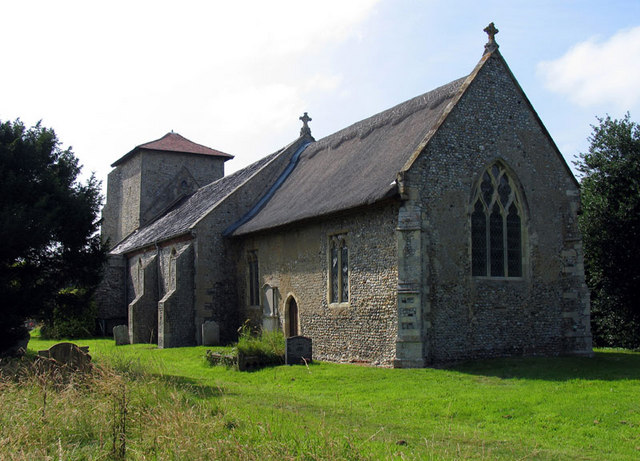
St Mary's Church, East Ruston
St Mary's Church is a redundant Anglican church in the village of East Ruston, Norfolk, England. It is recorded in the National Heritage List for England...

East Ruston Old Vicarage
East Ruston Old Vicarage Gardens is a notable privately owned garden in the county of Norfolk at East Ruston in Eastern England. The gardens were established...
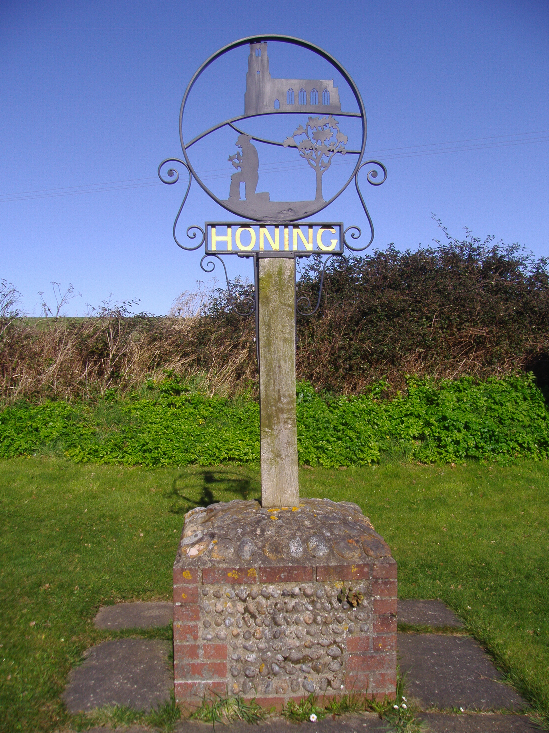
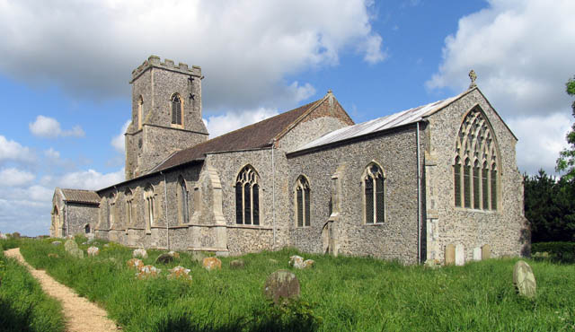
Honing, Norfolk
Honing is a village and a civil parish in the English county of Norfolk. The village is 15 miles (24 km) north-northeast of Norwich, 13 miles (21 km) south...
Nearby Amenities
Located within 500m of 52.814435,1.4793398Have you been to Crostwight Heath?
Leave your review of Crostwight Heath below (or comments, questions and feedback).