Self's Carr

Wood, Forest in Norfolk North Norfolk

England

Self's Carr

Overgrown Footpath to All Saints Church Walcott
Overgrown Footpath to All Saints Church Walcott Credit: malcolm tebbit

Self's Carr is a serene woodland area located in Norfolk, England. Situated in the heart of the county, this enchanting forest covers an expansive area of land, offering visitors a tranquil escape from the hustle and bustle of everyday life. The mesmerizing beauty of Self's Carr lies in its diverse range of flora and fauna, making it a haven for nature enthusiasts and wildlife lovers.

The woodland is predominantly composed of native trees, including oak, beech, and birch, which create a lush and vibrant canopy overhead. The forest floor is carpeted with a rich assortment of mosses, ferns, and wildflowers, adding to the magical atmosphere. In spring, the forest is adorned with a riot of colors as bluebells, primroses, and daffodils bloom, creating a picturesque sight.

Wildlife thrives in Self's Carr, with numerous species calling this woodland home. Visitors may spot deer gracefully grazing in the clearings or catch a glimpse of the elusive red fox darting through the undergrowth. The forest is also a haven for birdwatchers, with a variety of avian species, including woodpeckers, owls, and warblers.

Self's Carr offers a range of walking trails, allowing visitors to explore the forest at their own pace. These well-maintained paths wind through the ancient woodland, providing breathtaking views of the surrounding landscape. The peaceful ambiance of the forest makes it an ideal destination for a leisurely stroll, a family picnic, or a photography expedition.

Overall, Self's Carr is a natural gem, offering a serene and picturesque environment for nature enthusiasts to immerse themselves in the beauty of Norfolk's woodlands.

If you have any feedback on the listing, please let us know in the comments section below.

Self's Carr Images

Images are sourced within 2km of 52.829904/1.4735087 or Grid Reference TG3431. Thanks to Geograph Open Source API. All images are credited.

Overgrown Footpath to All Saints Church Walcott
Gateway to Church yard
All Saints Church Walcott
The Parish Church of All Saints The church is on the B1159, about 1km south of the village of Walcott.
The Parish Church of All Saints
The church is on the B1159, about 1km south of the village of Walcott.
Harvest-time at All Saints A simple yet lovely display in a window of the church porch, for the Harvest Festival celebration.
Harvest-time at All Saints
A simple yet lovely display in a window of the church porch, for the Harvest Festival celebration.
Piscina and Sedilia, Church of All Saints Delicate stone-carving on the piscina and triple-seated sedilia to the south of the altar in Walcott Church.  Wonderful craftsmanship.
Piscina and Sedilia, Church of All Saints
Delicate stone-carving on the piscina and triple-seated sedilia to the south of the altar in Walcott Church. Wonderful craftsmanship.
Walcott church All Saints. There are several All Saints among the many churches in this area. Perhaps the locals were hedging their bets.
Walcott church
All Saints. There are several All Saints among the many churches in this area. Perhaps the locals were hedging their bets.
Walcott - 2013 Walcott, Norfolk, Coast Road, B1159, Parish Church of All Saints
Walcott - 2013
Walcott, Norfolk, Coast Road, B1159, Parish Church of All Saints
Walcott - 2013 Walcott, Norfolk, Coast Road, B1159, Parish Church of All Saints
Walcott - 2013
Walcott, Norfolk, Coast Road, B1159, Parish Church of All Saints
Walcott - 2013 Walcott, Norfolk, Coast Road, B1159, Parish Church of All Saints
Walcott - 2013
Walcott, Norfolk, Coast Road, B1159, Parish Church of All Saints
Walcott - 2013 Walcott, Norfolk, Coast Road, B1159, Parish Church of All Saints
Walcott - 2013
Walcott, Norfolk, Coast Road, B1159, Parish Church of All Saints
Walcott - 2013 Walcott, Norfolk, Coast Road, B1159, Parish Church of All Saints
Walcott - 2013
Walcott, Norfolk, Coast Road, B1159, Parish Church of All Saints
B1159 Coast Road approaching Walcott church
Cars on the car park of The Lighthouse Inn, Walcott
The War Memorial in Walcot All Saints church
Brass lectern with a War Memorial at the base To the glory of God and Blessed memory of those who made the great sacrifice 1914 - 1919
Brass lectern with a War Memorial at the base
To the glory of God and Blessed memory of those who made the great sacrifice 1914 - 1919
Power lines south of Walcott, north Norfolk Power lines adjacent to the main road out of Walcott, in North Norfolk, taken in the late afternoon of December 2009.
Power lines south of Walcott, north Norfolk
Power lines adjacent to the main road out of Walcott, in North Norfolk, taken in the late afternoon of December 2009.
Bacton Road near Church Plantation
Show me another place!

Self's Carr is located at Grid Ref: TG3431 (Lat: 52.829904, Lng: 1.4735087)

Administrative County: Norfolk

District: North Norfolk

Police Authority: Norfolk

What 3 Words

///cotton.somewhere.golf. Near Bacton, Norfolk

Related Wikis

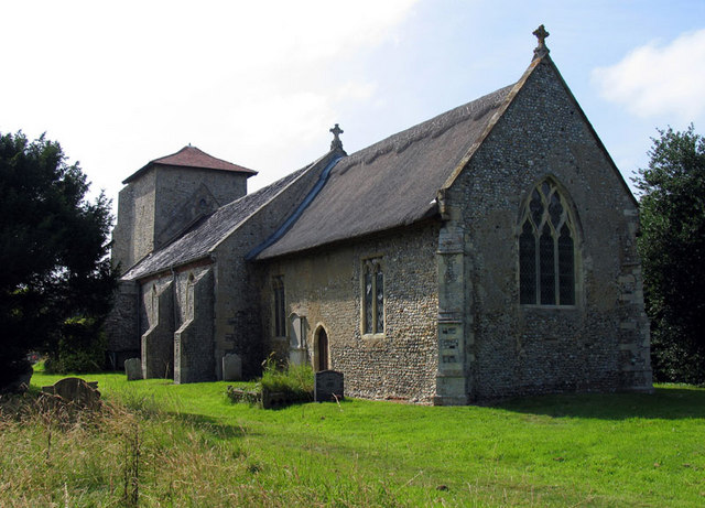
Witton, North Norfolk

Witton is a village and civil parish in the English county of Norfolk. It is located 8 km (5.0 mi) east of the town of North Walsham and 30 km (19 mi)...
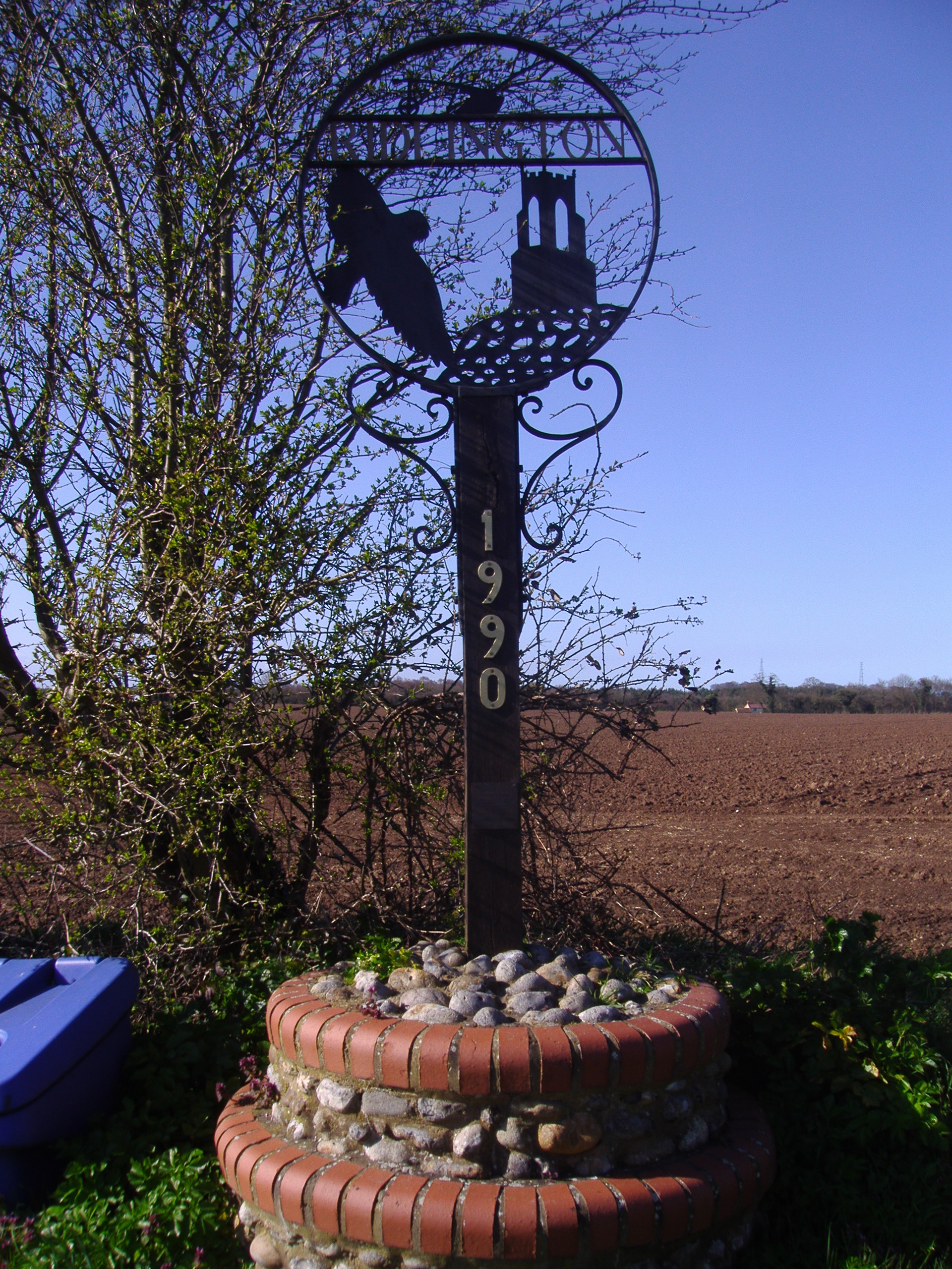
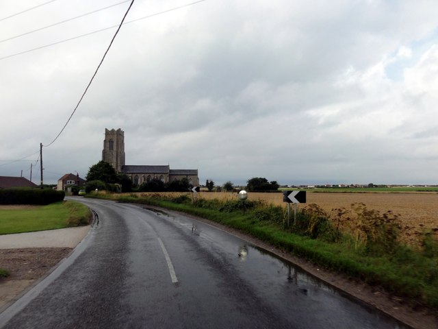
Ridlington, Norfolk

Ridlington is a village and former civil parish, now in the parish of Witton, in the North Norfolk district, in the county of Norfolk, England. The village...

Crostwight

Crostwight is a small village and former civil parish, now in the parish of Honing, in the North Norfolk district, in the north-east of the county of Norfolk...
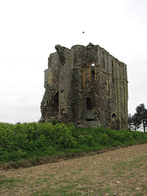
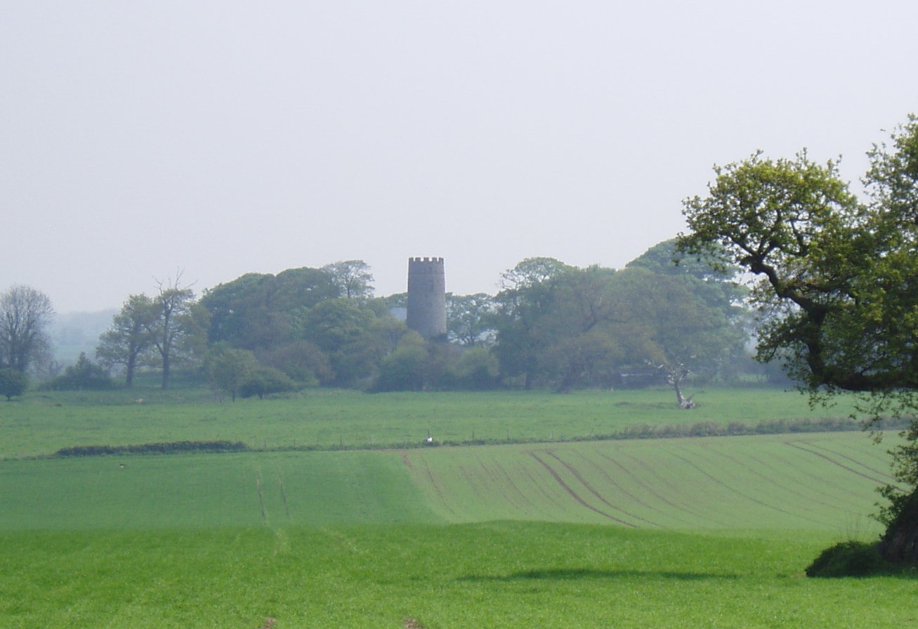
Bromholm Priory

Bromholm Priory was a Cluniac priory, situated in a coastal location near the village of Bacton, Norfolk, England == History == Bromholm Priory, also known...

Nearby Amenities

Located within 500m of 52.829904,1.4735087
Stonebridge Road, opp
Naptan AtcoCode: 2900W391
Naptan Bearing: E
Naptan BusStopType: CUS
Naptan CommonName: Stonebridge Road
Naptan Indicator: opp
Naptan Landmark: Plough Common
Naptan Locality: Ridlington
Naptan NaptanCode: nfogdtjm
Naptan ShortCommonName: Stonebridge Road
Naptan Street: Stonebridge Road
Naptan Verified: no
Source: naptan_import
Lat/Long: 52.8285448/1.4721944
Stonebridge Road, adj
Naptan AtcoCode: 2900W392
Naptan Bearing: W
Naptan BusStopType: CUS
Naptan CommonName: Stonebridge Road
Naptan Indicator: adj
Naptan Landmark: Plough Common
Naptan Locality: Ridlington
Naptan NaptanCode: nfogdtjp
Naptan ShortCommonName: Stonebridge Road
Naptan Street: Stonebridge Road
Naptan Verified: no
Source: naptan_import
Lat/Long: 52.8284948/1.4720568
Post Box
Collection Times: Mo-Fr 16:00; Sa 09:30
Post Box Type: lamp
Ref: NR28 2831
Royal Cypher: EIIR
Royal Cypher Wikidata: Q33102113
Lat/Long: 52.8283892/1.4723878
Telephone
Lat/Long: 52.8284151/1.4724093
Commonwood
Phone: +44 1692650548
Tourism: caravan_site
Lat/Long: 52.8317163/1.4802816
The data included in this document is from www.openstreetmap.org. The data is made available under ODbL.

Have you been to Self's Carr?

Leave your review of Self's Carr below (or comments, questions and feedback).