Round Covert
Wood, Forest in Suffolk East Suffolk
England
Round Covert

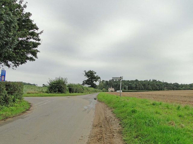
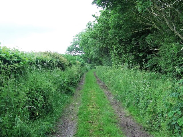
Round Covert is a serene woodland located in Suffolk, England. Nestled within the picturesque countryside, this forested area is a haven for nature enthusiasts and those seeking tranquility in the great outdoors. The covert spans an extensive area, encompassing a diverse range of landscapes, including dense woodland, sprawling meadows, and enchanting streams.
The woodland is home to a rich variety of flora and fauna, with ancient trees providing a majestic canopy overhead. A stroll through Round Covert reveals a tapestry of vibrant wildflowers, such as bluebells, primroses, and wood anemones, which carpet the forest floor during the springtime. The diverse ecosystem attracts a myriad of wildlife, including deer, foxes, badgers, and an array of bird species, making it a popular destination for birdwatchers and animal enthusiasts.
The forest offers a network of well-maintained trails, enabling visitors to explore its beauty at their leisure. Nature lovers can enjoy leisurely walks, cycling, or horseback riding through the peaceful woodland, taking in the sights and sounds of the natural world around them. The tranquil atmosphere and lack of crowds make Round Covert an ideal location for those seeking a quiet retreat from the bustle of everyday life.
Round Covert is not only a place of natural beauty but also holds historical significance. The woodland has a rich heritage, with traces of ancient settlements and archaeological remains dating back to the Roman era. These remnants add an element of intrigue and mystery to the already captivating landscape.
In conclusion, Round Covert in Suffolk is a captivating woodland sanctuary that offers a peaceful escape into nature. Its diverse landscapes, abundant wildlife, and historical significance make it a must-visit destination for anyone seeking solace and connection with the natural world.
If you have any feedback on the listing, please let us know in the comments section below.
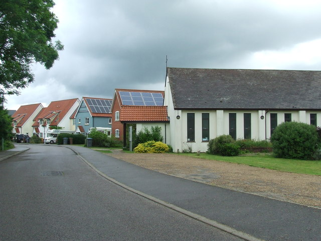
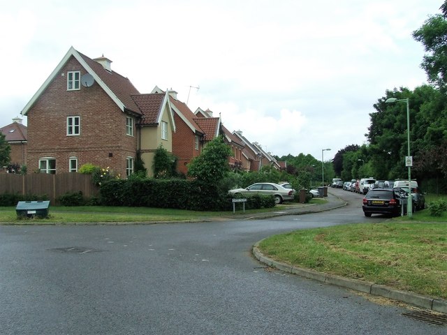
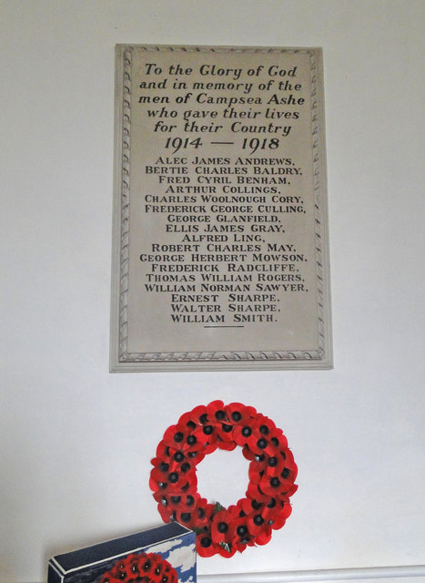
Round Covert Images
Images are sourced within 2km of 52.146749/1.4131882 or Grid Reference TM3355. Thanks to Geograph Open Source API. All images are credited.


Round Covert is located at Grid Ref: TM3355 (Lat: 52.146749, Lng: 1.4131882)
Administrative County: Suffolk
District: East Suffolk
Police Authority: Suffolk
What 3 Words
///danger.intestine.january. Near Rendlesham, Suffolk
Nearby Locations
Related Wikis

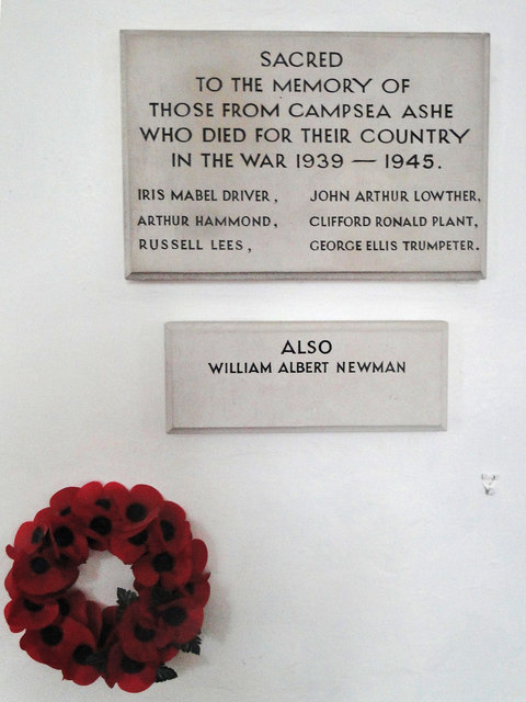
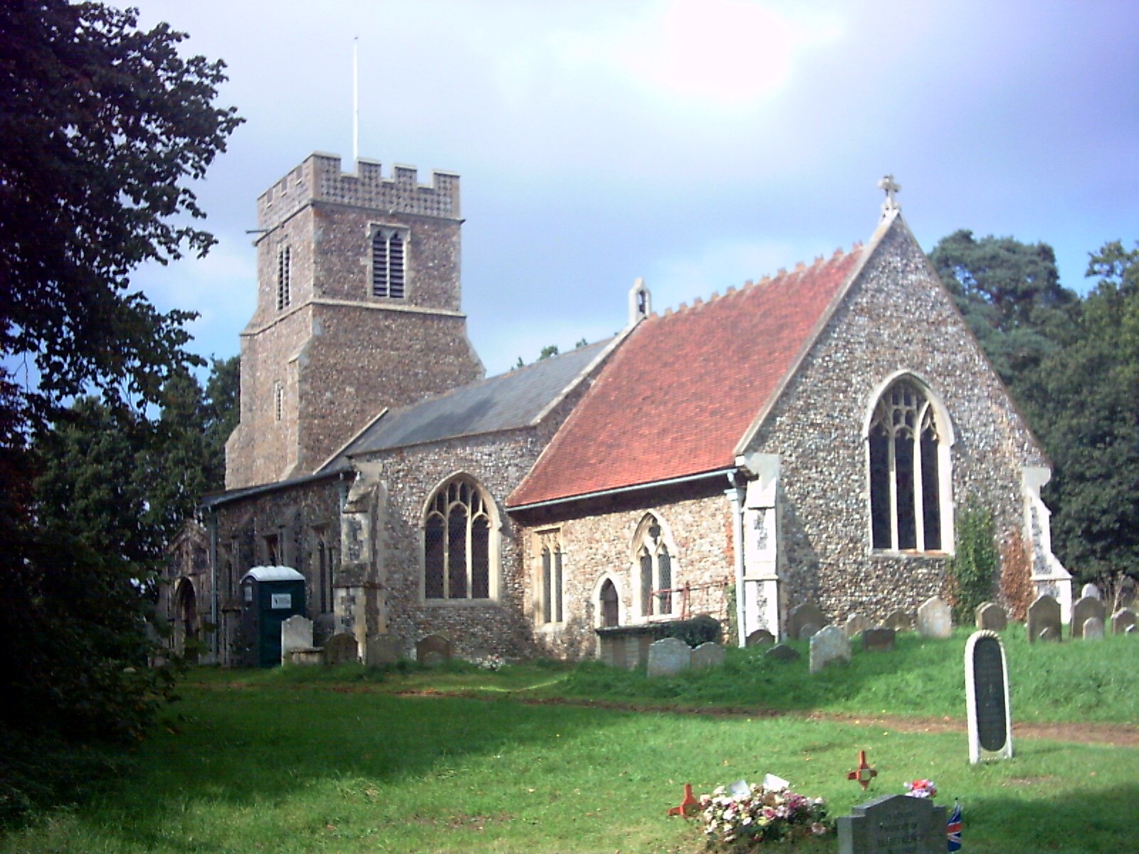
Campsea Ashe
Campsea Ashe (sometimes spelt Campsey Ash) is a village in Suffolk, England located approximately 5 miles (8 km) north east of Woodbridge and 6 miles...

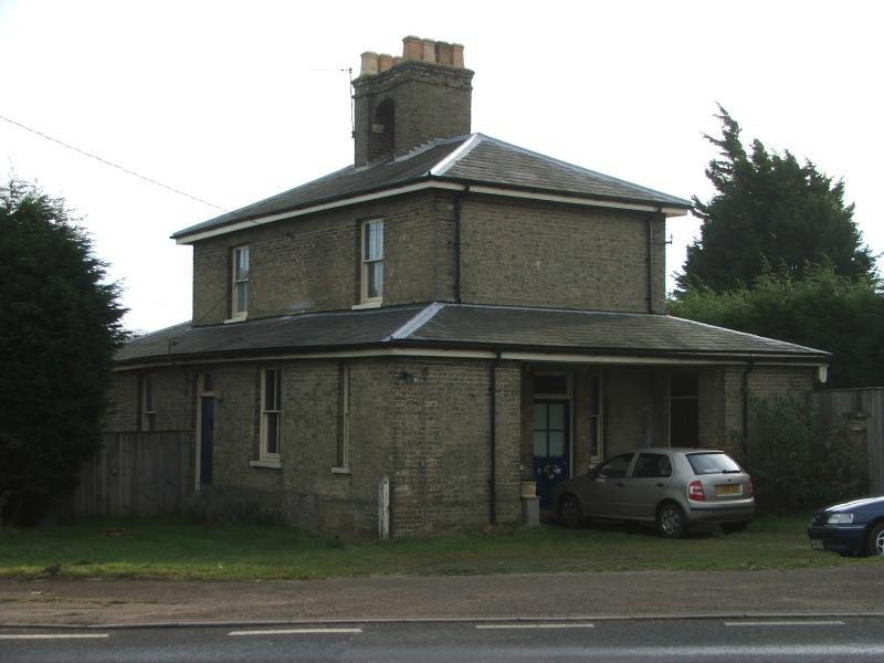
Wickham Market railway station
Wickham Market railway station is on the East Suffolk Line in the east of England, located in Campsea Ashe, Suffolk, approximately 2 miles (3.2 km) east...

Rendlesham Hall
Rendlesham Hall was a large manor house in the village of Rendlesham in Suffolk. == History == The hall was built in the pointed style in 1780 and two...

Rendlesham
Rendlesham is a village and civil parish near Woodbridge, Suffolk, United Kingdom. It was a royal centre of authority for the king of the East Angles....

Campsey Priory
Campsey Priory, (Campesse, Kampessie, etc.), was a religious house of Augustinian canonesses at Campsea Ashe, Suffolk, about 1.5 miles (2.5 km) south east...
Marlesford
Marlesford is a village and civil parish in the East Suffolk district of Suffolk, England. The population of the civil parish at the 2011 Census was 233...

Tunstall, Suffolk
On an Ordnance Survey map of Suffolk, England, there are two settlements named Tunstall next to each other, 7.5 miles (12.1 km) north east of Woodbridge...
Marlesford railway station
Marlesford railway station was a station located in Marlesford, Suffolk. It closed in 1952.The station was served by trains that operated between Framlingham...
Nearby Amenities
Located within 500m of 52.146749,1.4131882Have you been to Round Covert?
Leave your review of Round Covert below (or comments, questions and feedback).