Bruisyard Wood

Wood, Forest in Suffolk East Suffolk

England

Bruisyard Wood

Church of St. Peter, Bruisyard <span class="nowrap"><a title="https://historicengland.org.uk/listing/the-list/list-entry/1377166?section=official-list-entry" rel="nofollow ugc noopener" href="https://historicengland.org.uk/listing/the-list/list-entry/1377166?section=official-list-entry">Link</a><img style="margin-left:2px;" alt="External link" title="External link - shift click to open in new window" src="https://s1.geograph.org.uk/img/external.png" width="10" height="10"/></span>
Church of St. Peter, Bruisyard Credit: Sandy Gerrard

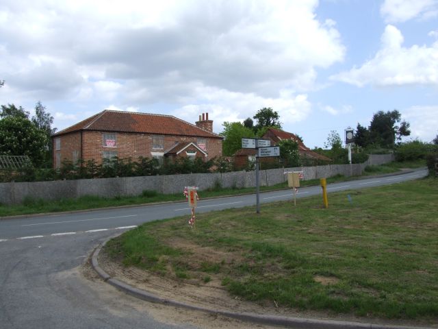
Bruisyard Wood is a picturesque woodland located in the county of Suffolk, England. Covering an area of approximately 125 acres, it is situated near the village of Bruisyard, about 15 miles northeast of Ipswich. The wood is nestled within the beautiful countryside, surrounded by rolling hills and meadows.

This ancient woodland is predominantly composed of broadleaf trees, such as oak, beech, and ash, which create a dense canopy that provides a habitat for a wide range of wildlife. The forest floor is adorned with a carpet of bluebells during springtime, adding to the area's enchanting beauty.

Bruisyard Wood offers a tranquil retreat for nature lovers and outdoor enthusiasts. It is a popular destination for leisurely walks and wildlife spotting, with various footpaths meandering through the woodland. Visitors can explore the different trails, taking in the sights and sounds of nature, and perhaps catch a glimpse of the diverse bird species that inhabit the area, including woodpeckers and owls.

The wood also boasts a rich history, dating back centuries. It was once part of a larger medieval hunting forest and has remnants of ancient woodland management techniques, such as coppicing. Today, it is managed by the Forestry Commission, ensuring its preservation and accessibility for generations to come.

Bruisyard Wood is a true gem in the Suffolk countryside, offering a peaceful escape from the hustle and bustle of daily life. Whether for a leisurely stroll, wildlife observation, or simply to immerse oneself in the beauty of nature, this woodland provides a serene and captivating experience.

If you have any feedback on the listing, please let us know in the comments section below.

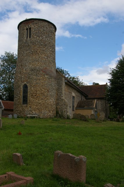
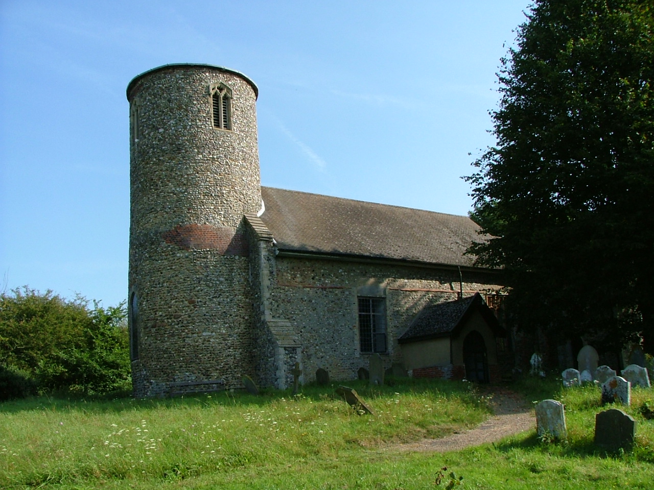
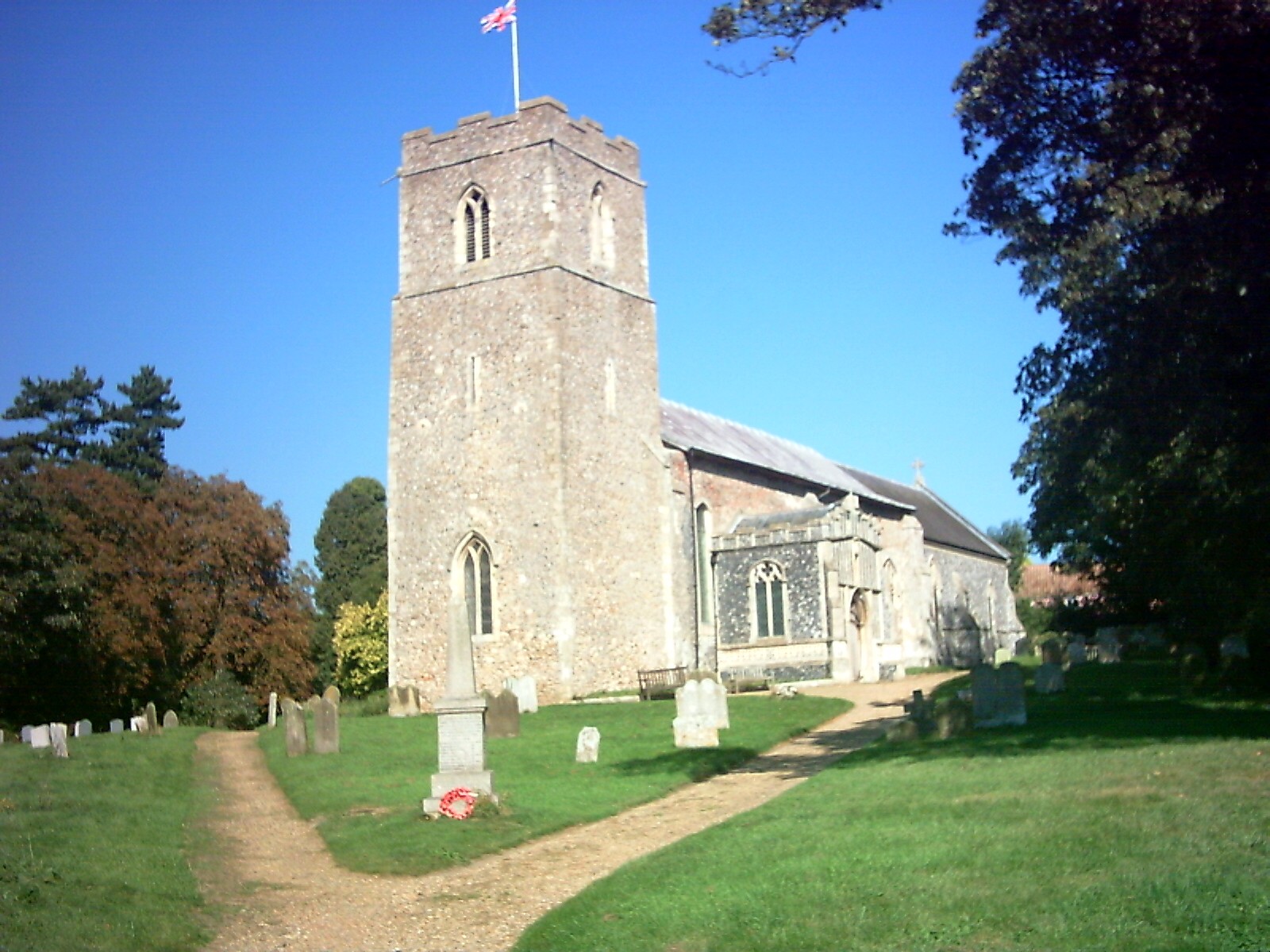
Bruisyard Wood Images

Images are sourced within 2km of 52.253347/1.4213437 or Grid Reference TM3367. Thanks to Geograph Open Source API. All images are credited.

Church of St. Peter, Bruisyard <span class="nowrap"><a title="https://historicengland.org.uk/listing/the-list/list-entry/1377166?section=official-list-entry" rel="nofollow ugc noopener" href="https://historicengland.org.uk/listing/the-list/list-entry/1377166?section=official-list-entry">Link</a><img style="margin-left:2px;" alt="External link" title="External link - shift click to open in new window" src="https://s1.geograph.org.uk/img/external.png" width="10" height="10"/></span>
Church of St. Peter, Bruisyard
Floods in the valley of the River Alde
ROC Post Badingham Badingham Post was commissioned in March 1949 and was closed due to ROC restructuring in October 1968. The site during the posts operational life was prone to flooding due to its location. Repairs were made to external walls to help prevent this; but all attempts ultimately failed. During the late 1990's talks were held by Badingham Parish Council to have the site protected but have failed to have the site listed. The Post is located on the High Street (South) near to Trust Farm.
ROC Post Badingham
Badingham Post was commissioned in March 1949 and was closed due to ROC restructuring in October 1968. The site during the posts operational life was prone to flooding due to its location. Repairs were made to external walls to help prevent this; but all attempts ultimately failed. During the late 1990's talks were held by Badingham Parish Council to have the site protected but have failed to have the site listed. The Post is located on the High Street (South) near to Trust Farm.
Cut Mark Bruisyard St Peters Church Cut Mark Bruisyard St Peters Church E face, SE angle.
Cut Mark Bruisyard St Peters Church
Cut Mark Bruisyard St Peters Church E face, SE angle.
Layby on Badingham Road, Peasenhall
Gate by Badingham Road, Peasenhall
Field by Badingham Road, Peasenhall Not all of Suffolk is flat like this but a lot of it is. The adjacent fens to the west are flatter.
Field by Badingham Road, Peasenhall
Not all of Suffolk is flat like this but a lot of it is. The adjacent fens to the west are flatter.
High Road, Badingham
Mill Lane, Bruisyard
St Peter's church, Bruisyard
Wheat field and poppies, by the River Alde, Bruisyard
Low Road, Bruisyard
Low Road, Bruisyard
Bruisyard: Lime Tree Farm
Badingham: Looking towards the A1120 from Hollow Lane
Bruisyard: Harvested oil seed rape crop
Bruisyard: Crop of peas and cereal in the field beyond
Bruisyard: Hollow Lane Farm
Show me another place!

Bruisyard Wood is located at Grid Ref: TM3367 (Lat: 52.253347, Lng: 1.4213437)

Administrative County: Suffolk

District: East Suffolk

Police Authority: Suffolk

What 3 Words

///shepherdess.corals.mystery. Near Saxmundham, Suffolk

Nearby Locations

Bruisyard Wood

Related Wikis

Bruisyard Abbey

The Abbey of Bruisyard was a house of Minoresses (Poor Clares) at Bruisyard in Suffolk. It was founded from Campsey Priory in Suffolk on the initiative...

Bruisyard

Bruisyard is a village in the valley of the River Alde in the county of Suffolk, England. The village had a population of around 175 at the 2011 census...

Peasenhall

Peasenhall is a village and civil parish in the East Suffolk district, in the English county of Suffolk. The population of the civil parish at the 2021...

The Ancient House, Peasenhall

The Ancient House is a grade II* listed house in Peasenhall, Suffolk, England. The house is timber-framed and is not ancient, dating from the mid-sixteenth...

Rendham

Rendham is a village and civil parish on the B1119 road, in the East Suffolk district, in the English county of Suffolk. It is near the town Saxmundham...

Badingham

Badingham is a civil parish in the East Suffolk district of eastern England, in the county of Suffolk. It is situated 21.8 miles (35.1 kilometres) north...

Cransford

Cransford is a village and a civil parish in the East Suffolk district, in the English county of Suffolk. The civil parish had a population at the 2011...

Hulver Street

Hulver Street, also known simply as Hulver, is a hamlet near the market town of Beccles, in the civil parish of Henstead with Hulver Street, in the East...

Nearby Amenities

Located within 500m of 52.253347,1.4213437
Power: pole
Lat/Long: 52.2507336/1.4267126
Power: pole
Lat/Long: 52.2520669/1.4273643
Power: pole
Lat/Long: 52.2530668/1.4278608
Power: pole
Lat/Long: 52.2540915/1.4283433
The data included in this document is from www.openstreetmap.org. The data is made available under ODbL.

Have you been to Bruisyard Wood?

Leave your review of Bruisyard Wood below (or comments, questions and feedback).