Allen's Covert
Wood, Forest in Suffolk East Suffolk
England
Allen's Covert

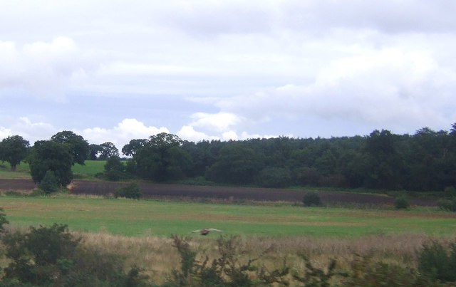
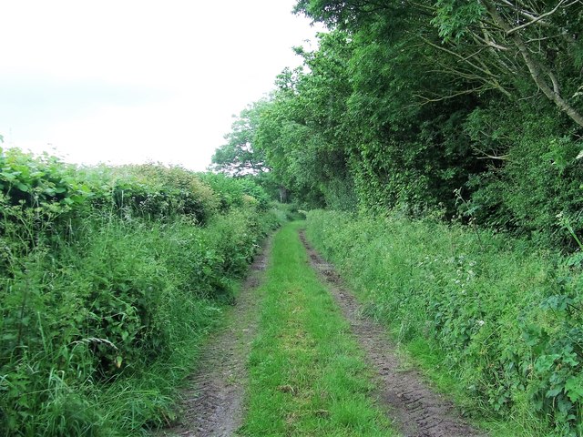
Allen's Covert is a beautiful woodland area located in Suffolk, England. Spanning over a vast expanse, this ancient woodland is known for its dense and diverse collection of trees and wildlife. The covert is situated in the heart of the Suffolk countryside, providing visitors with a tranquil and serene atmosphere.
The woodland is predominantly made up of deciduous trees such as oak, beech, and birch, creating a stunning display of colors during the autumn season. The dense canopy of the trees lets in only dappled sunlight, giving the covert a mysterious and enchanting ambiance.
Allen's Covert is home to a wide variety of wildlife, including numerous bird species, small mammals, and insects. Birdwatchers can spot species such as woodpeckers, owls, and warblers. The woodland floor is also teeming with life, with an array of wildflowers, ferns, and mosses creating a vibrant undergrowth.
The covert is a popular destination for nature enthusiasts, hikers, and photographers. Several walking trails meander through the woodland, allowing visitors to explore its natural beauty. The peaceful and secluded setting makes it an ideal spot for relaxation and meditation.
Allen's Covert is managed and conserved by local authorities to preserve its ecological importance and maintain its natural beauty. It is a cherished natural asset for the local community and a haven for nature lovers seeking to reconnect with the great outdoors.
If you have any feedback on the listing, please let us know in the comments section below.
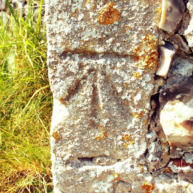
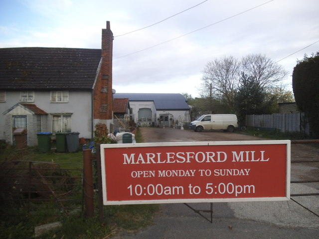
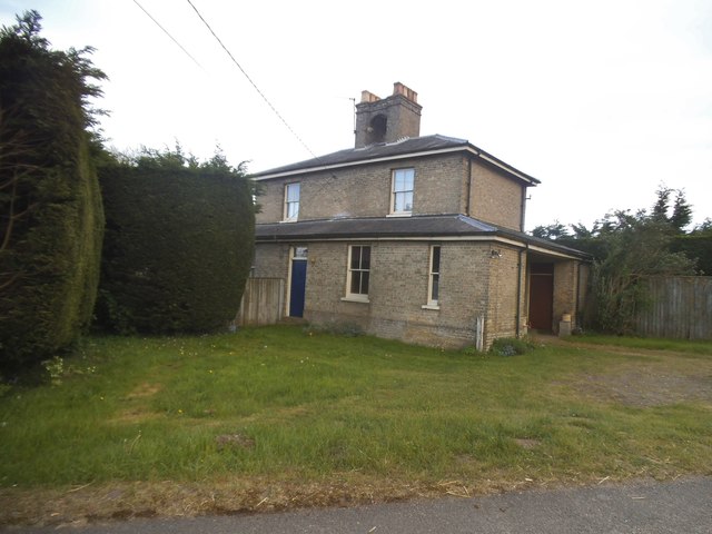
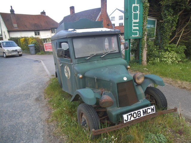
Allen's Covert Images
Images are sourced within 2km of 52.152343/1.4091567 or Grid Reference TM3355. Thanks to Geograph Open Source API. All images are credited.


Allen's Covert is located at Grid Ref: TM3355 (Lat: 52.152343, Lng: 1.4091567)
Administrative County: Suffolk
District: East Suffolk
Police Authority: Suffolk
What 3 Words
///boring.nametag.oiled. Near Rendlesham, Suffolk
Nearby Locations
Related Wikis

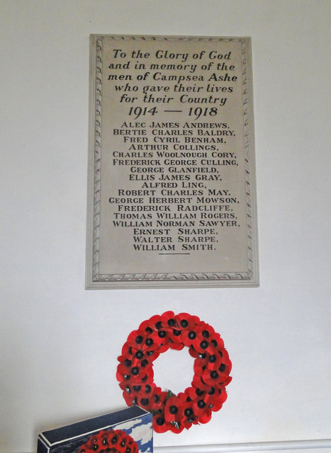
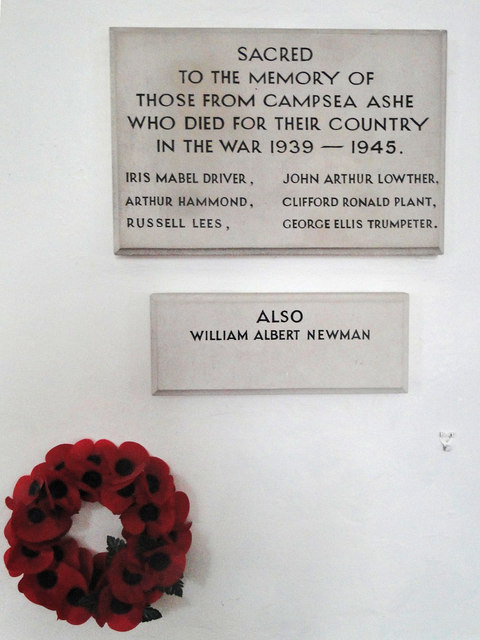
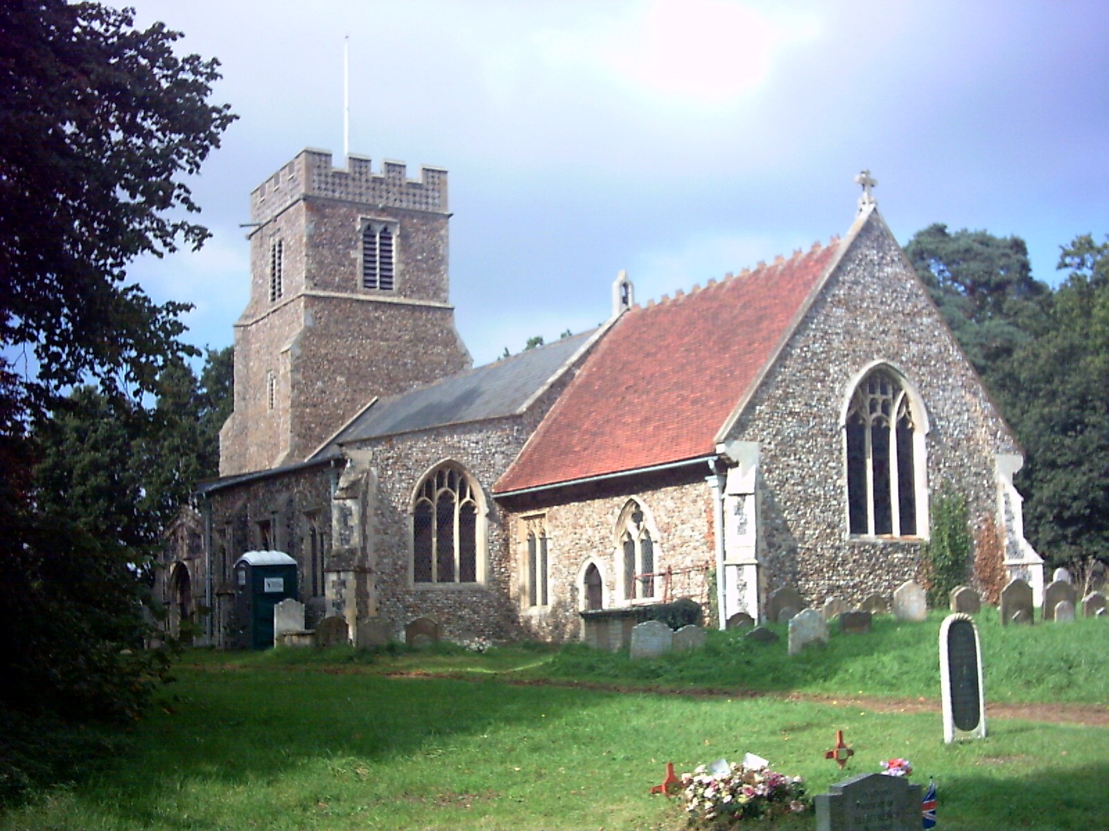
Campsea Ashe
Campsea Ashe (sometimes spelt Campsey Ash) is a village in Suffolk, England located approximately 5 miles (8 km) north east of Woodbridge and 6 miles...

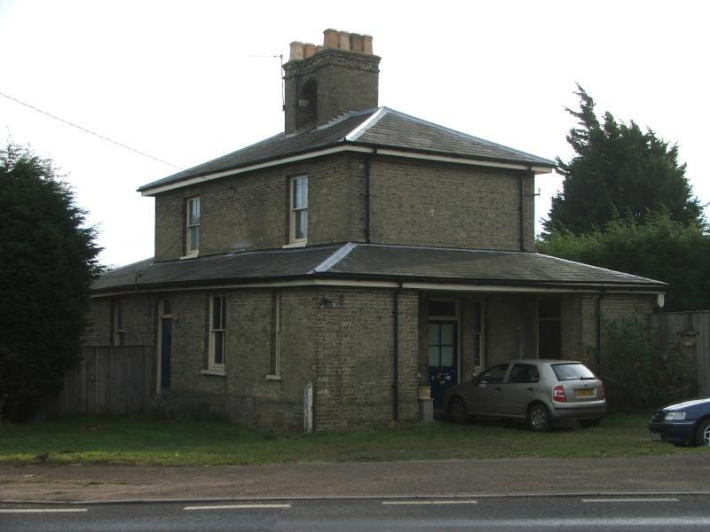
Wickham Market railway station
Wickham Market railway station is on the East Suffolk Line in the east of England, located in Campsea Ashe, Suffolk, approximately 2 miles (3.2 km) east...
Marlesford
Marlesford is a village and civil parish in the East Suffolk district of Suffolk, England. The population of the civil parish at the 2011 Census was 233...
Marlesford railway station
Marlesford railway station was a station located in Marlesford, Suffolk. It closed in 1952.The station was served by trains that operated between Framlingham...

Rendlesham Hall
Rendlesham Hall was a large manor house in the village of Rendlesham in Suffolk. == History == The hall was built in the pointed style in 1780 and two...

Campsey Priory
Campsey Priory, (Campesse, Kampessie, etc.), was a religious house of Augustinian canonesses at Campsea Ashe, Suffolk, about 1.5 miles (2.5 km) south east...

Plomesgate Rural District
Plomesgate Rural District was a rural district within the administrative county of East Suffolk between 1894 and 1934. == History == The district had...

Rendlesham
Rendlesham is a village and civil parish near Woodbridge, Suffolk, United Kingdom. It was a royal centre of authority for the king of the East Angles....
Related Videos

Birmingham National Trust Associan Suffolk Holiday
The holiday but viewed through the eyes of one person.

Our dogs First Holiday
Check our Percy's newest video: "Percy the Labrador tries out his new Embark Pets Reflective Harness" ...

Painting Boats ⛵ Art Vlog/ Walking at the beach 🏖️
Painting Boats ⛵ for the First Time! This is my first attempt at painting something I am notoriously bad at doing- boats… I blame ...
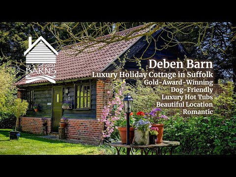
Deben Barn, Woodfarm Barns in Suffolk
More information - https://woodfarmbarns.com/dog-friendly-holiday-cottages-suffolk/deben-barn/ Deben Barn Cottage – dog ...
Nearby Amenities
Located within 500m of 52.152343,1.4091567Have you been to Allen's Covert?
Leave your review of Allen's Covert below (or comments, questions and feedback).