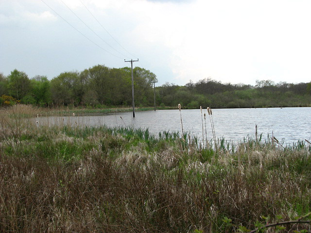
St Villier's Fen
Wood, Forest in Norfolk North Norfolk
England
St Villier's Fen
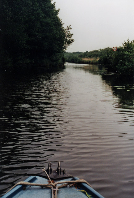
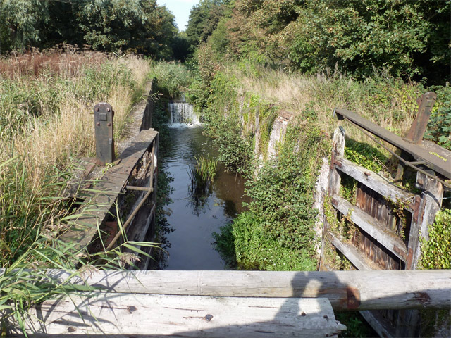
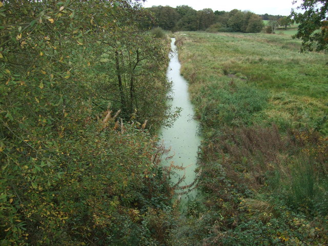
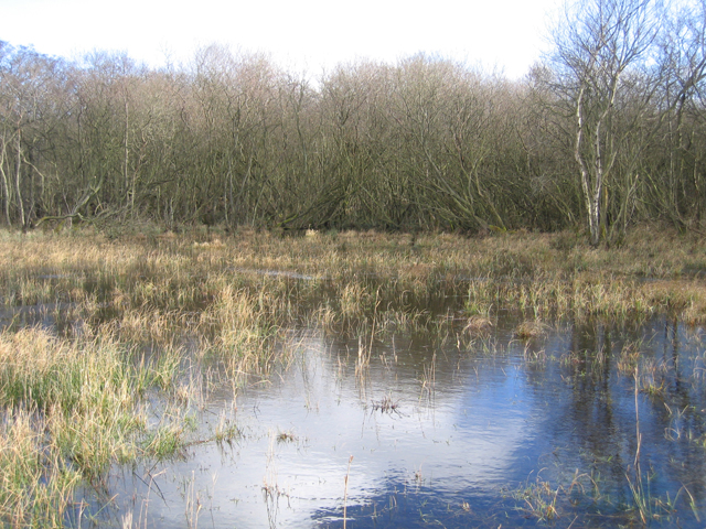
St. Villier's Fen, located in Norfolk, England, is a picturesque wood and forest area renowned for its natural beauty and rich biodiversity. Covering a vast expanse of land, this fen is a haven for wildlife and is a popular destination for nature enthusiasts and hikers alike.
The fen is characterized by its diverse ecosystem, consisting of a mix of wetlands, marshes, and woodlands. The wetlands are home to a variety of plant species, including reeds, rushes, and water lilies, which thrive in the marshy conditions. The marshlands provide an ideal habitat for numerous bird species, such as ducks, herons, and swans, making it a birdwatcher's paradise.
The woodlands within St. Villier's Fen are composed of tall, ancient trees, including oak, beech, and birch. These trees provide shelter and food for a wide range of animals, including squirrels, deer, and various species of birds. The forest floor is adorned with a carpet of wildflowers, creating a vibrant and enchanting atmosphere.
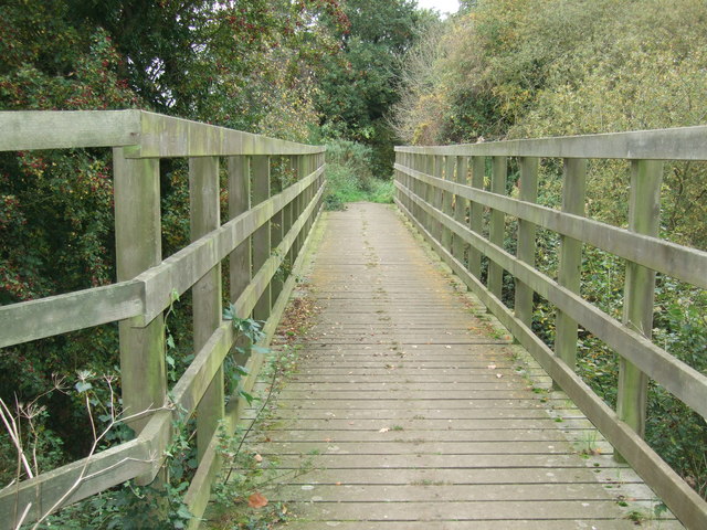
Visitors to St. Villier's Fen can enjoy a variety of activities, such as hiking along the well-marked trails, birdwatching from the designated viewpoints, or simply immersing themselves in the tranquility of nature. The fen is also equipped with picnic areas and benches, allowing visitors to relax and soak in the serene surroundings.
In summary, St. Villier's Fen in Norfolk is a natural wonderland teeming with biodiversity. Its wetlands, marshes, and woodlands provide a habitat for a multitude of plant and animal species, offering visitors the opportunity to experience the beauty of nature firsthand.
If you have any feedback on the listing, please let us know in the comments section below.
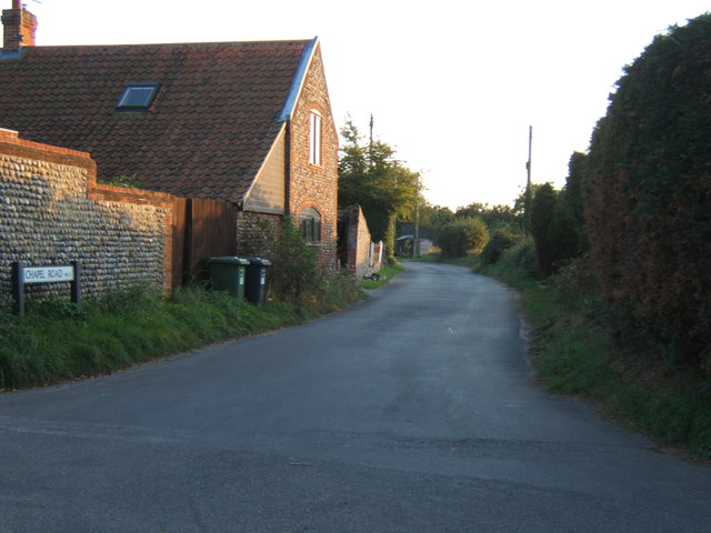
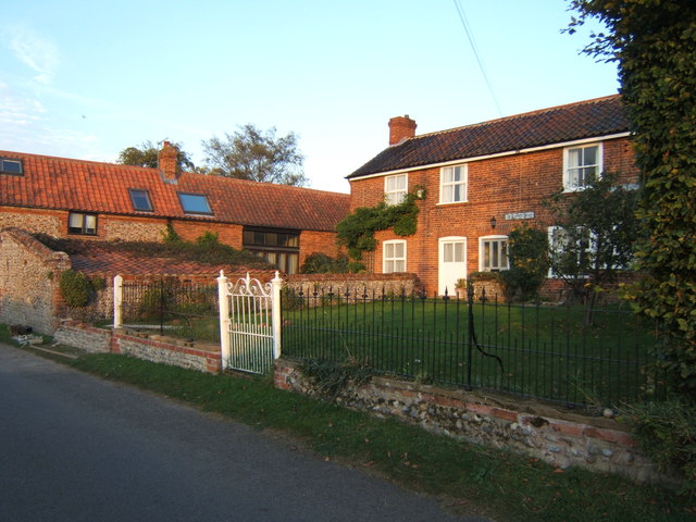
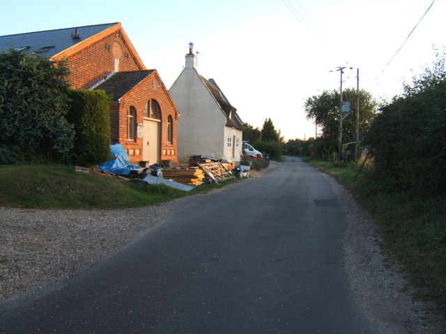
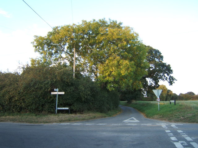
St Villier's Fen Images
Images are sourced within 2km of 52.788635/1.4586309 or Grid Reference TG3326. Thanks to Geograph Open Source API. All images are credited.


St Villier's Fen is located at Grid Ref: TG3326 (Lat: 52.788635, Lng: 1.4586309)
Administrative County: Norfolk
District: North Norfolk
Police Authority: Norfolk
What 3 Words
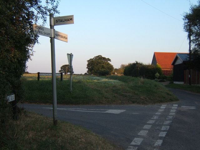
///interlude.kilowatt.feuds. Near Stalham, Norfolk
Nearby Locations
Related Wikis

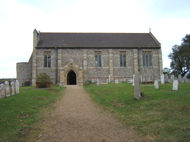
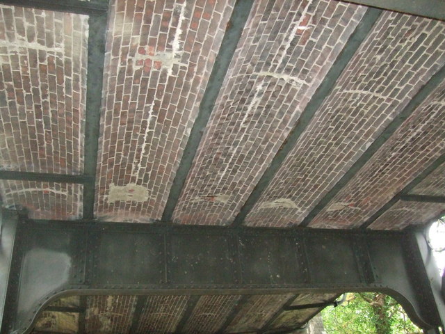
Dilham Castle
Dilham Castle, also called Dilham Hall, is situated in the village of Dilham, near Stalham in Norfolk, England. == Details == Dilham Castle was built in...
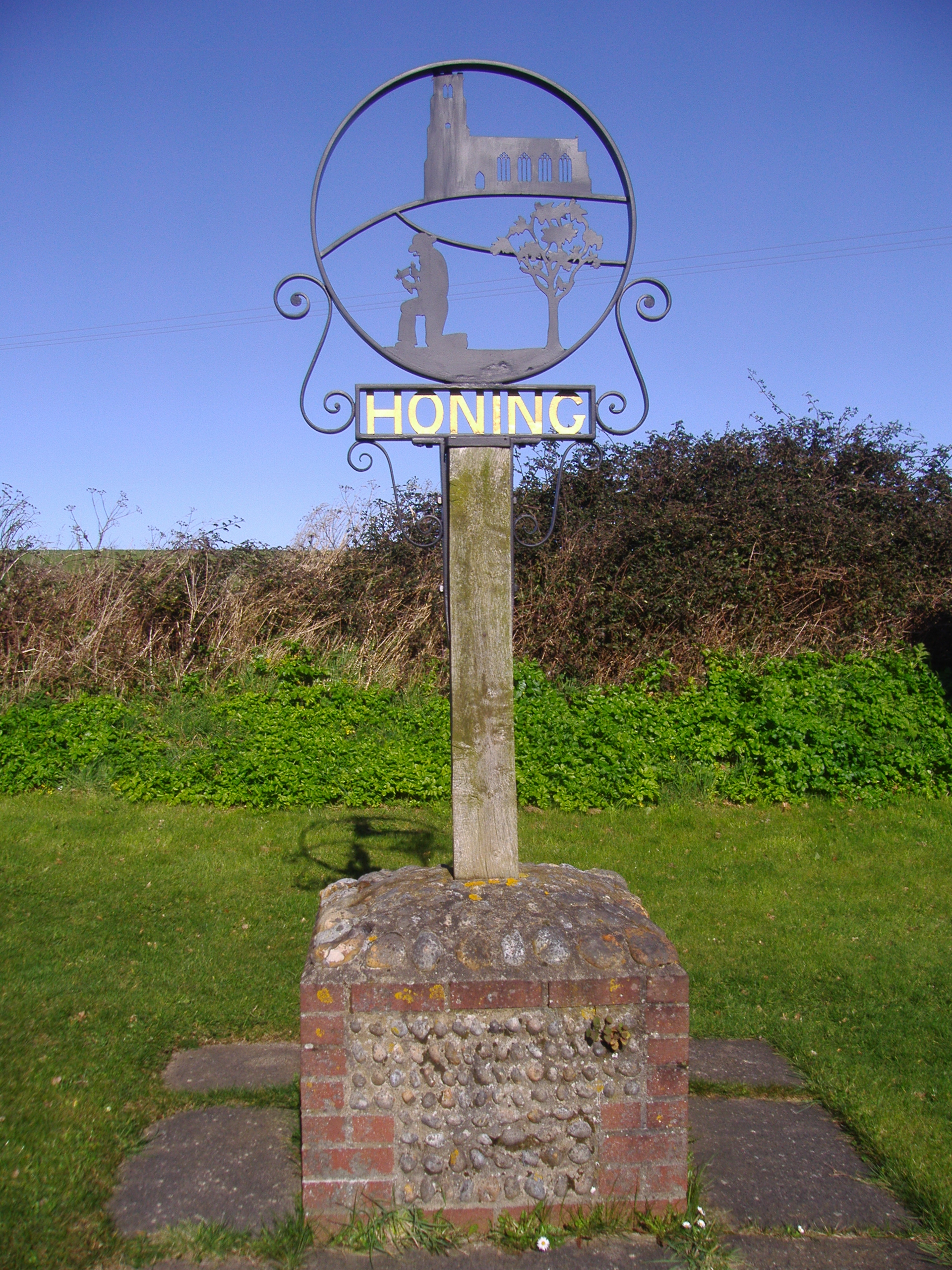
Honing, Norfolk
Honing is a village and a civil parish in the English county of Norfolk. The village is 15 miles (24 km) north-northeast of Norwich, 13 miles (21 km) south...

East Ruston
East Ruston is a village and a civil parish in the English county of Norfolk. The village is located 4.1 miles (6.6 km) south-east of North Walsham and...
East Ruston Common
East Ruston Common is a 34.5-hectare (85-acre) biological Site of Special Scientific Interest south-east of North Walsham om Norfolk.This is an area of...
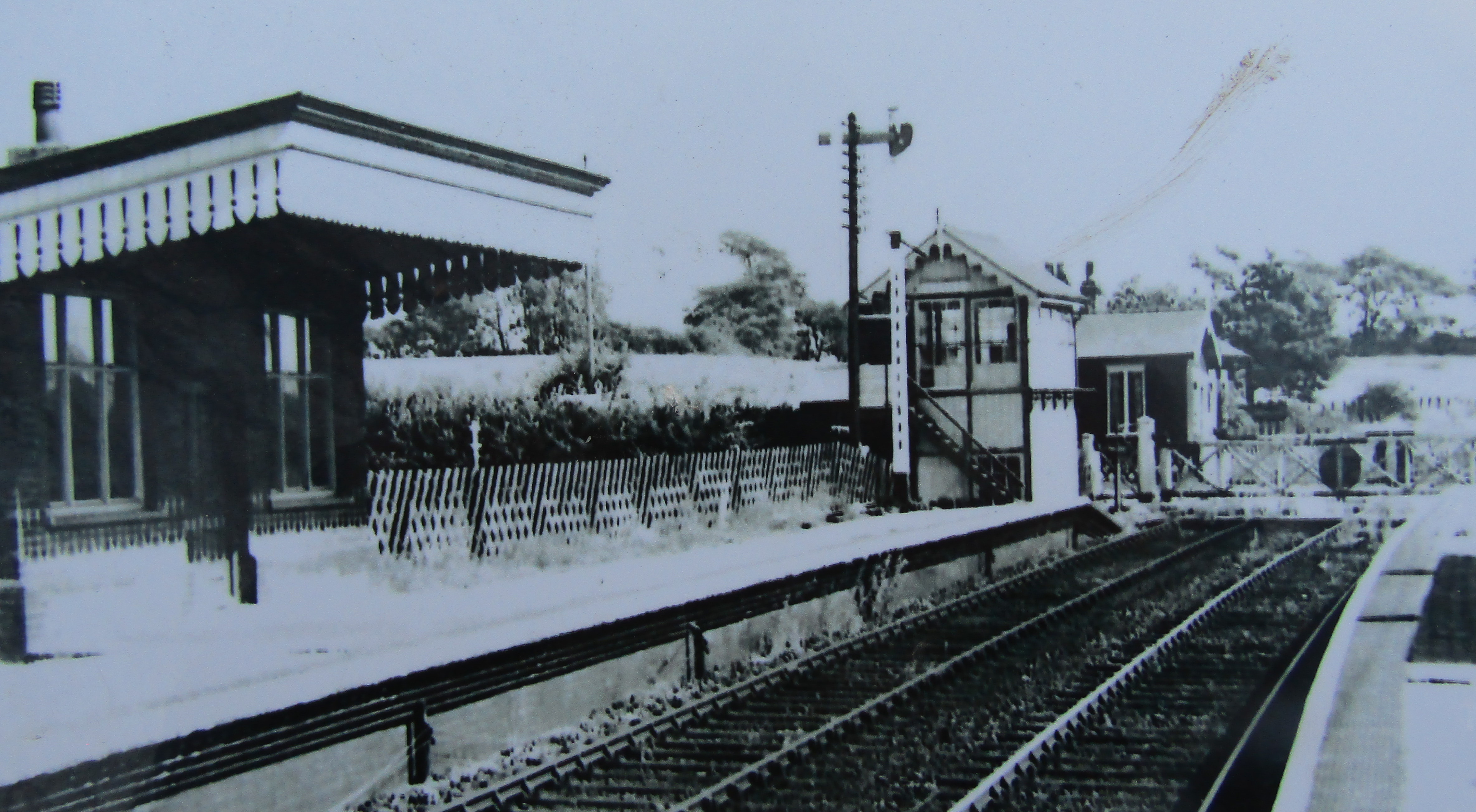
Honing railway station
Honing railway station was a station in Norfolk, England, serving the small village of Honing. It was on the Midland and Great Northern Joint Railway between...
Broad Fen, Dilham
Broad Fen, Dilham is a 38.4-hectare (95-acre) biological Site of Special Scientific Interest north-east of Norwich in Norfolk. It is part of the Broadland...

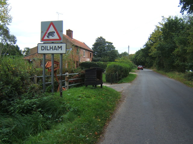
Dilham
Dilham is a village and civil parish in the English county of Norfolk. The village is located 4.3 miles south-east of North Walsham and 12 miles north...

Wayford Bridge
Wayford Bridge is a village on the River Ant on the A149 road, near Stalham in Norfolk, England within The Broads National Park. Due to height restrictions...
Nearby Amenities
Located within 500m of 52.788635,1.4586309Have you been to St Villier's Fen?
Leave your review of St Villier's Fen below (or comments, questions and feedback).