Churchfield Belt
Wood, Forest in Suffolk East Suffolk
England
Churchfield Belt

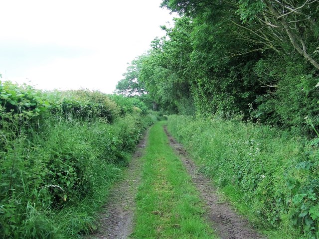
Churchfield Belt is a picturesque woodland located in Suffolk, England. Spanning over a vast area, this forested area is renowned for its natural beauty and tranquility. The forest is situated in the village of Churchfield Belt, which is surrounded by rolling hills and farmland, adding to its idyllic charm.
The woodland itself is predominantly composed of broadleaf trees, including oak, beech, and birch. These trees create a dense canopy, allowing minimal sunlight to reach the forest floor and creating a cool and shaded environment. The forest floor is covered in a rich carpet of moss, ferns, and wildflowers, providing a diverse habitat for a variety of plant and animal species.
Churchfield Belt is a haven for wildlife enthusiasts, as it is home to an array of creatures. Many bird species can be spotted here, including woodpeckers, owls, and various songbirds. The forest is also home to small mammals such as squirrels, foxes, and badgers. Additionally, the nearby river provides a habitat for fish, amphibians, and insects.
Visitors to Churchfield Belt can enjoy a range of activities within the forest. There are several walking trails, allowing visitors to explore the woodland and admire its natural beauty. The forest also offers opportunities for bird watching, photography, and picnicking. It is a popular destination for nature lovers and families seeking a peaceful and serene retreat from the hustle and bustle of everyday life.
In summary, Churchfield Belt in Suffolk, England is a captivating woodland that offers a diverse range of flora and fauna. With its scenic beauty and tranquil atmosphere, it is a haven for nature enthusiasts and a delightful escape into the natural world.
If you have any feedback on the listing, please let us know in the comments section below.
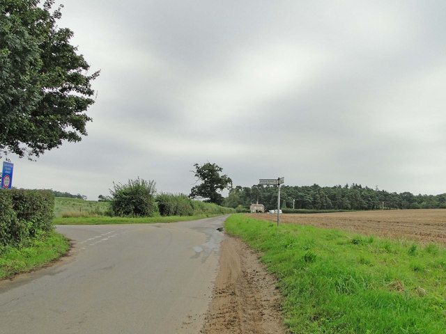
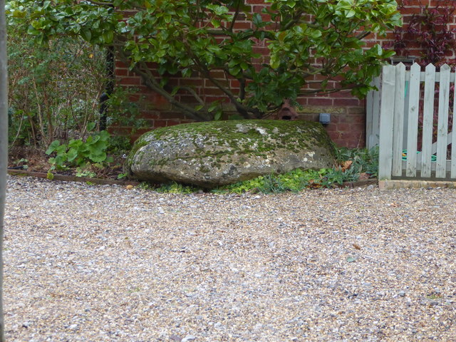
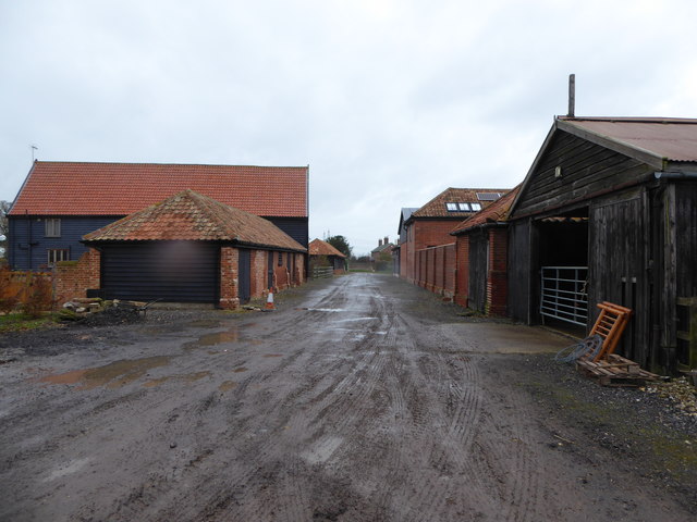
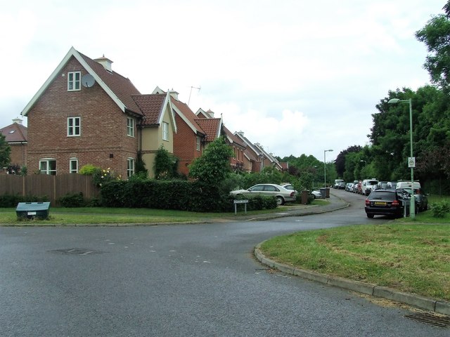
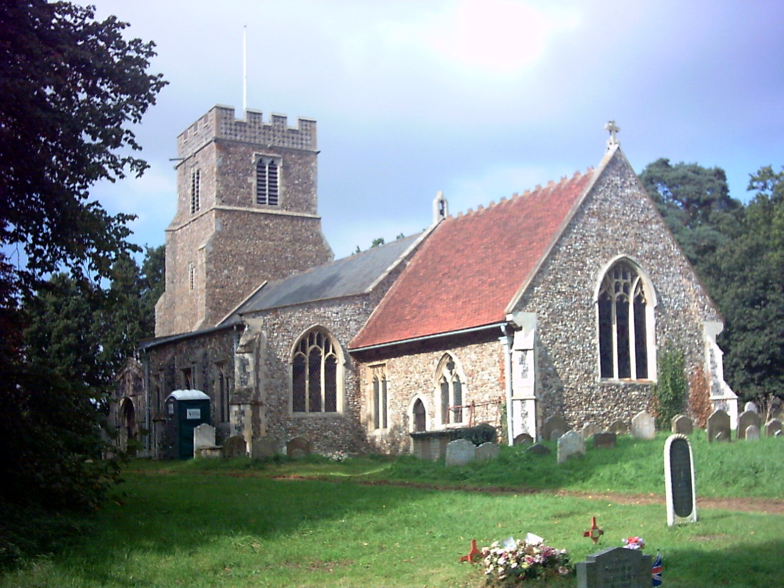
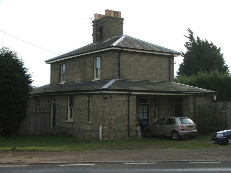
Churchfield Belt Images
Images are sourced within 2km of 52.148981/1.4115899 or Grid Reference TM3355. Thanks to Geograph Open Source API. All images are credited.


Churchfield Belt is located at Grid Ref: TM3355 (Lat: 52.148981, Lng: 1.4115899)
Administrative County: Suffolk
District: East Suffolk
Police Authority: Suffolk
What 3 Words
///inserting.clouds.blueberry. Near Rendlesham, Suffolk
Nearby Locations
Related Wikis

Campsea Ashe
Campsea Ashe (sometimes spelt Campsey Ash) is a village in Suffolk, England located approximately 5 miles (8 km) north east of Woodbridge and 6 miles...

Wickham Market railway station
Wickham Market railway station is on the East Suffolk Line in the east of England, located in Campsea Ashe, Suffolk, approximately 2 miles (3.2 km) east...

Rendlesham Hall
Rendlesham Hall was a large manor house in the village of Rendlesham in Suffolk. == History == The hall was built in the pointed style in 1780 and two...

Campsey Priory
Campsey Priory, (Campesse, Kampessie, etc.), was a religious house of Augustinian canonesses at Campsea Ashe, Suffolk, about 1.5 miles (2.5 km) south east...

Rendlesham
Rendlesham is a village and civil parish near Woodbridge, Suffolk, United Kingdom. It was a royal centre of authority for the king of the East Angles....
Marlesford
Marlesford is a village and civil parish in the East Suffolk district of Suffolk, England. The population of the civil parish at the 2011 Census was 233...
Marlesford railway station
Marlesford railway station was a station located in Marlesford, Suffolk. It closed in 1952.The station was served by trains that operated between Framlingham...

Plomesgate Rural District
Plomesgate Rural District was a rural district within the administrative county of East Suffolk between 1894 and 1934. == History == The district had...
Nearby Amenities
Located within 500m of 52.148981,1.4115899Have you been to Churchfield Belt?
Leave your review of Churchfield Belt below (or comments, questions and feedback).