Colt's Wood
Wood, Forest in Norfolk Broadland
England
Colt's Wood

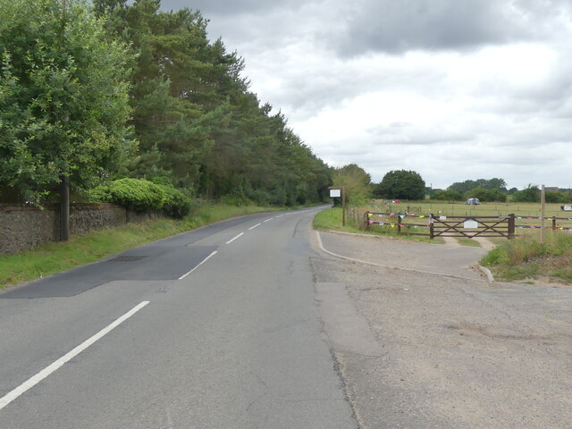
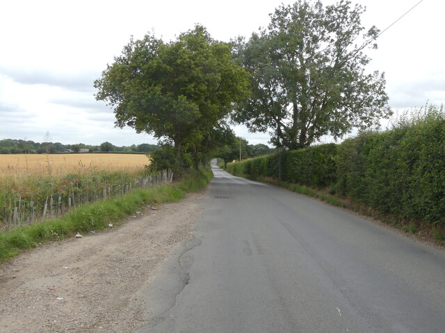
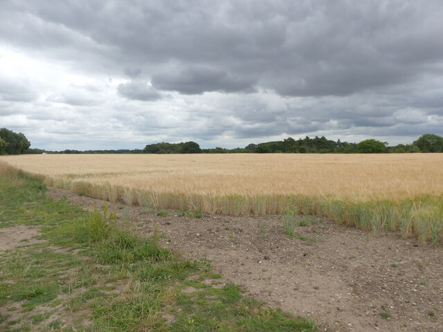
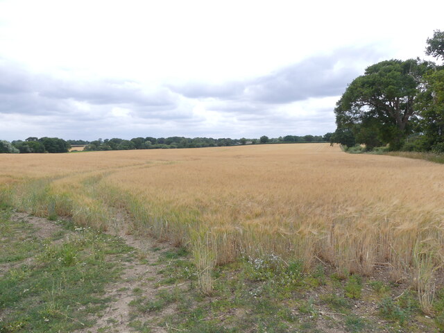
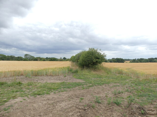
Colt's Wood is a picturesque woodland located in Norfolk, England. Covering an area of approximately 50 acres, this forested area is a popular destination for nature lovers and outdoor enthusiasts. The wood is situated near the village of Coltishall, and its proximity to the Norfolk Broads makes it an attractive location for visitors.
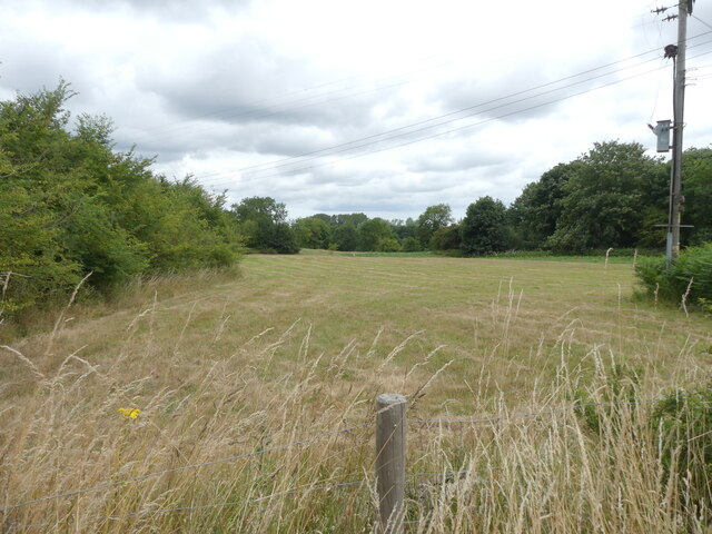
Colt's Wood boasts a rich and diverse array of flora and fauna, making it an important ecological site within the region. The woodland is predominantly made up of native British trees, including oak, beech, and birch, which create a stunning canopy overhead. The forest floor is carpeted with a variety of wildflowers, providing a burst of color during the spring and summer months.
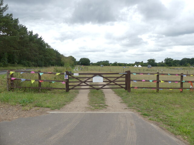
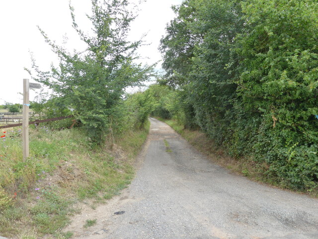
The wood is crisscrossed by a network of well-maintained footpaths, offering visitors the opportunity to explore the area and enjoy its natural beauty. There are also several designated picnic areas, allowing visitors to relax and take in the tranquil surroundings.
The diverse range of wildlife found within Colt's Wood is another highlight of this natural gem. Deer, foxes, and a wide variety of bird species call the woodland home, making it a popular spot for birdwatchers and wildlife enthusiasts. Visitors may also catch a glimpse of smaller creatures, such as squirrels and rabbits, as they go about their daily routines.
Overall, Colt's Wood provides a serene escape from the hustle and bustle of everyday life. Its natural beauty, abundant wildlife, and well-maintained trails make it a must-visit destination for anyone seeking a peaceful retreat in the heart of Norfolk.
If you have any feedback on the listing, please let us know in the comments section below.
Colt's Wood Images
Images are sourced within 2km of 52.731787/1.3572451 or Grid Reference TG2620. Thanks to Geograph Open Source API. All images are credited.


Colt's Wood is located at Grid Ref: TG2620 (Lat: 52.731787, Lng: 1.3572451)
Administrative County: Norfolk
District: Broadland
Police Authority: Norfolk
What 3 Words
///swung.goodbyes.deny. Near Coltishall, Norfolk
Nearby Locations
Related Wikis
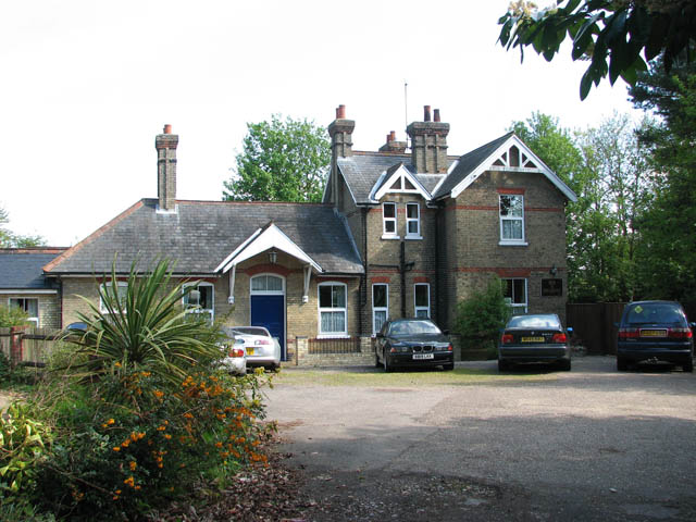
Coltishall railway station
Coltishall railway station serves the village of Coltishall in Norfolk, and is currently operated by the Bure Valley Railway. == Standard gauge operation... ==

Coltishall
Coltishall is a village on the River Bure, west of Wroxham, in the English county of Norfolk. The village is located within the Norfolk Broads. == Etymology... ==

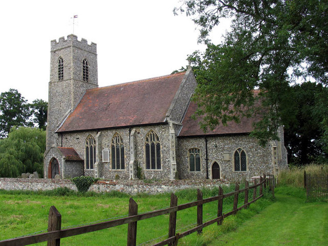
St Theobald's Church, Great Hautbois
St Theobald's Church is a former church at Great Hautbois, near Coltishall in Norfolk, England. During the medieval period it was a place of pilgrimage...

Horstead with Stanninghall
Horstead with Stanninghall is a civil parish in the English county of Norfolk which is also known as 'The Gateway of The Broads' consisting of the former...

Horstead Hall
Horstead Hall was a country house in Norfolk that was demolished in the 1950s. The village of Horstead in the county of Norfolk is not short of country...
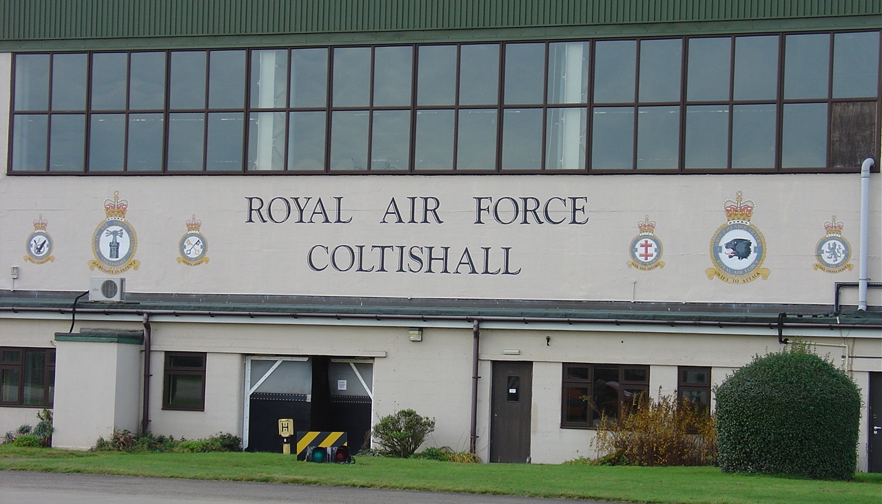
RAF Coltishall
Royal Air Force Coltishall, more commonly known as RAF Coltishall (IATA: CLF, ICAO: EGYC), is a former Royal Air Force station located 10 miles (16 kilometres...
Little Hautbois
Little Hautbois is a small hamlet in Broadland, England, part of the parish of Lamas. The name is pronounced 'Hobbis', and can be seen thus spelled on...
Lamas, Norfolk
Lamas (also spelled Lammas) is a village in Broadland, Norfolk, England. Administratively it falls within the civil parish of Buxton with Lamas. The village...
Nearby Amenities
Located within 500m of 52.731787,1.3572451Have you been to Colt's Wood?
Leave your review of Colt's Wood below (or comments, questions and feedback).