Hautbois Common
Wood, Forest in Norfolk Broadland
England
Hautbois Common
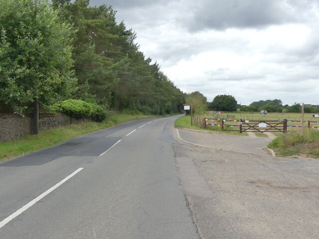
Hautbois Common is a picturesque woodland located in Norfolk, England. Stretching over an area of approximately 100 hectares, this common is a haven for nature lovers and outdoor enthusiasts alike. The common is situated near the village of Coltishall and is easily accessible to visitors from nearby towns and cities.
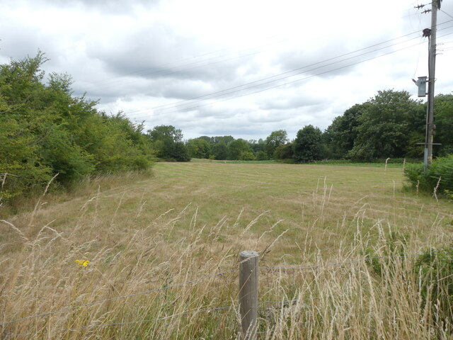
Hautbois Common is known for its diverse range of plant and animal species, making it an ideal location for wildlife enthusiasts. The woodland is home to a variety of trees, including oak, beech, and birch, which create a dense canopy and provide a habitat for a plethora of bird species. Visitors can spot woodpeckers, thrushes, and owls among the treetops, while smaller creatures like squirrels and rabbits scurry across the forest floor.
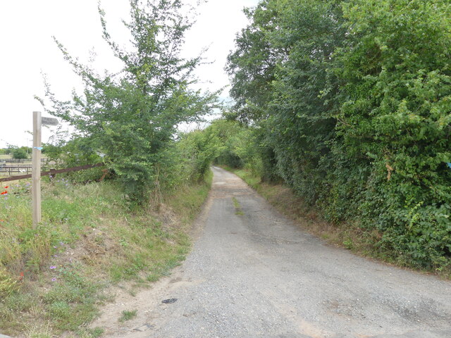
For those seeking an active adventure, Hautbois Common offers numerous walking trails and paths that wind through the forest. These trails vary in length and difficulty, catering to both novice hikers and seasoned trekkers. Along the way, visitors can enjoy the peacefulness of their surroundings, the enchanting beauty of the woodland, and the calming sounds of nature.
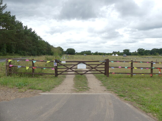
Hautbois Common is also a popular destination for family outings and picnics. Its open spaces provide ample room for children to play and explore, and designated picnic areas offer a perfect spot to relax and enjoy a meal amidst the natural splendor.
Overall, Hautbois Common is a hidden gem in Norfolk, offering an escape from the hustle and bustle of everyday life. Its tranquil atmosphere, diverse wildlife, and beautiful scenery make it a must-visit destination for anyone seeking a connection with nature.
If you have any feedback on the listing, please let us know in the comments section below.
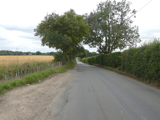
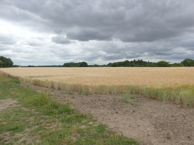
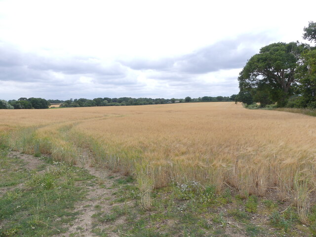
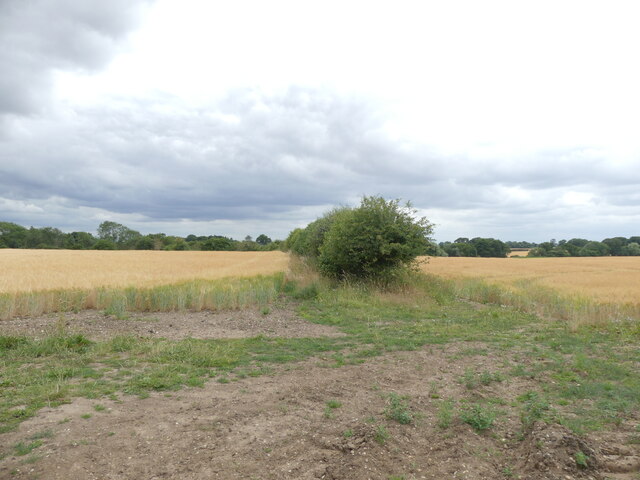
Hautbois Common Images
Images are sourced within 2km of 52.737948/1.3492729 or Grid Reference TG2620. Thanks to Geograph Open Source API. All images are credited.


Hautbois Common is located at Grid Ref: TG2620 (Lat: 52.737948, Lng: 1.3492729)
Administrative County: Norfolk
District: Broadland
Police Authority: Norfolk
What 3 Words
///victor.whisker.elect. Near Coltishall, Norfolk
Nearby Locations
Related Wikis

St Theobald's Church, Great Hautbois
St Theobald's Church is a former church at Great Hautbois, near Coltishall in Norfolk, England. During the medieval period it was a place of pilgrimage...
Coltishall railway station
Coltishall railway station serves the village of Coltishall in Norfolk, and is currently operated by the Bure Valley Railway. == Standard gauge operation... ==

Horstead Hall
Horstead Hall was a country house in Norfolk that was demolished in the 1950s. The village of Horstead in the county of Norfolk is not short of country...

Horstead with Stanninghall
Horstead with Stanninghall is a civil parish in the English county of Norfolk which is also known as 'The Gateway of The Broads' consisting of the former...
Nearby Amenities
Located within 500m of 52.737948,1.3492729Have you been to Hautbois Common?
Leave your review of Hautbois Common below (or comments, questions and feedback).