Great Hautbois
Settlement in Norfolk Broadland
England
Great Hautbois
Great Hautbois is a small village located in the county of Norfolk, in eastern England. Situated approximately 12 miles north of the city of Norwich, Great Hautbois is nestled in the beautiful Norfolk Broads National Park, renowned for its picturesque landscapes and waterways.
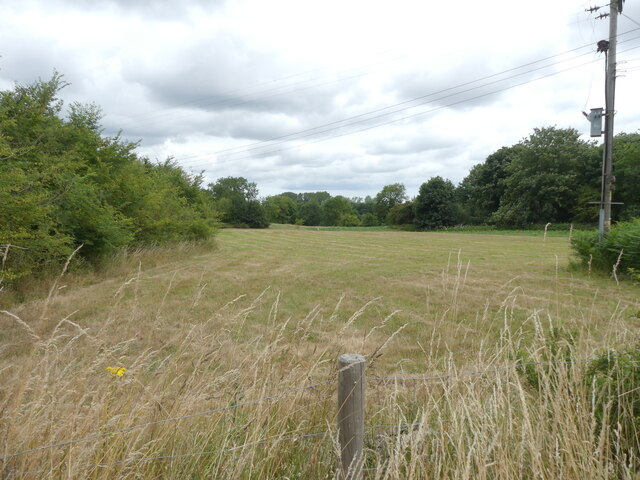
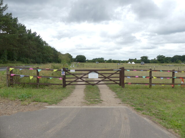
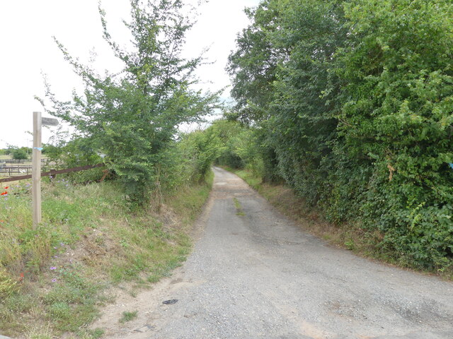
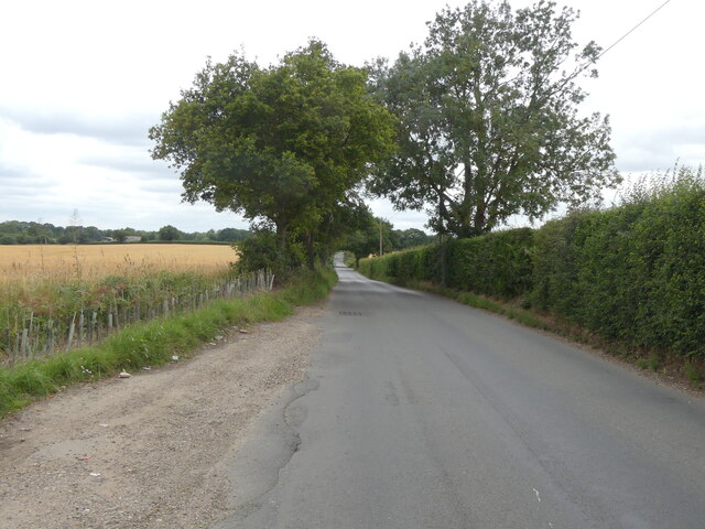
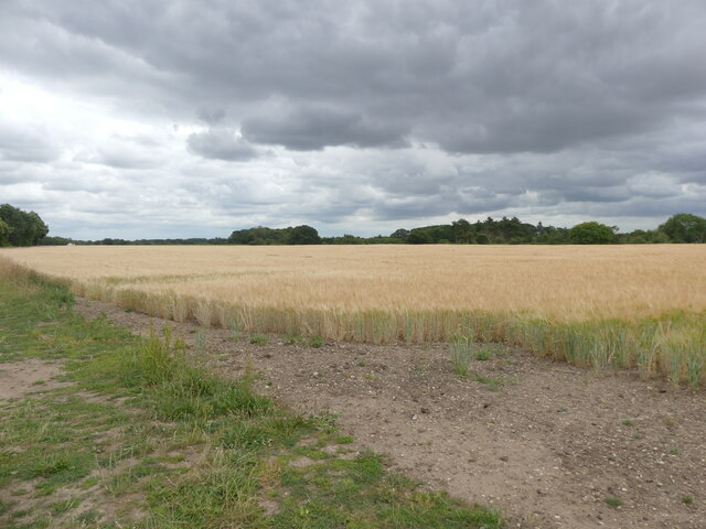
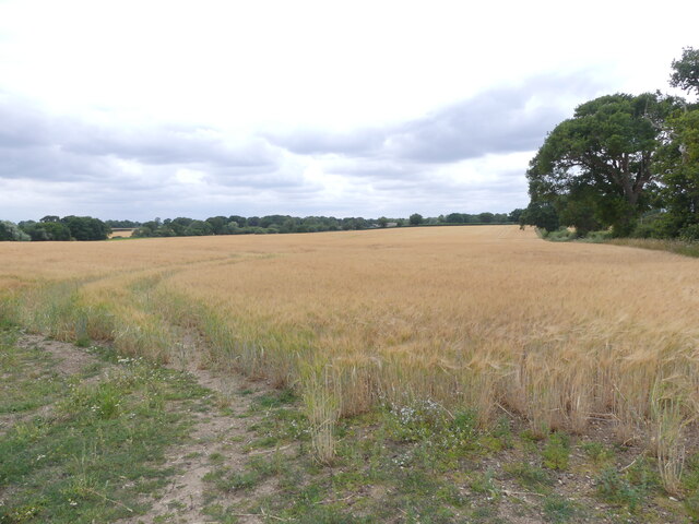
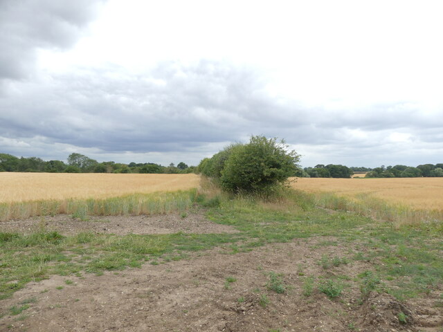
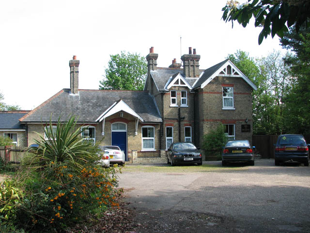
The village is characterized by its charming rural setting, with rolling fields, meadows, and woodlands surrounding the area. The River Bure flows through Great Hautbois, providing opportunities for boating, fishing, and other water-based activities. The village is also home to a number of traditional thatched cottages and historic buildings, adding to its quaint and idyllic atmosphere.
One notable landmark in Great Hautbois is the Hautbois Hall, a magnificent Grade II listed building that dates back to the 17th century. The hall is surrounded by stunning gardens and is often used as a venue for weddings, events, and conferences.
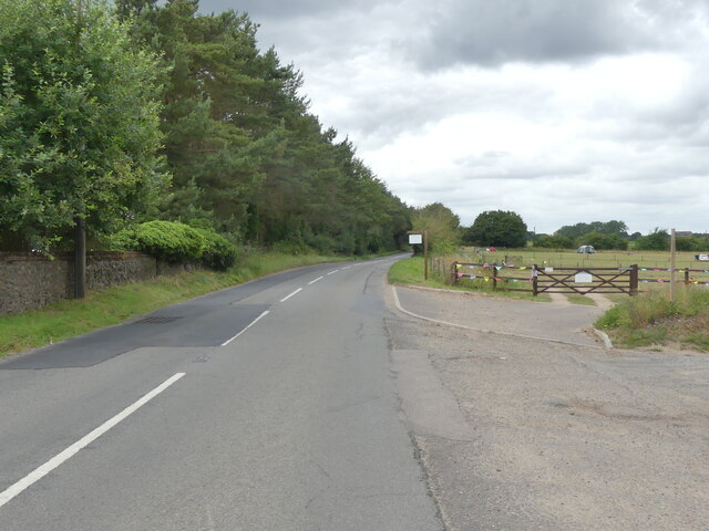
In terms of amenities, Great Hautbois offers a limited range of facilities. However, the village benefits from its proximity to nearby towns and cities, providing residents with access to a wider range of services. The village is well-connected by road, with the A140 running nearby, offering convenient links to Norwich and other surrounding areas.
Great Hautbois offers a tranquil and peaceful setting, making it an ideal destination for those seeking to escape the hustle and bustle of city life and enjoy the natural beauty of the Norfolk countryside.
If you have any feedback on the listing, please let us know in the comments section below.
Great Hautbois Images
Images are sourced within 2km of 52.73844/1.348718 or Grid Reference TG2620. Thanks to Geograph Open Source API. All images are credited.


Great Hautbois is located at Grid Ref: TG2620 (Lat: 52.73844, Lng: 1.348718)
Administrative County: Norfolk
District: Broadland
Police Authority: Norfolk
What 3 Words
///rewrites.rinsed.group. Near Coltishall, Norfolk
Nearby Locations
Related Wikis

St Theobald's Church, Great Hautbois
St Theobald's Church is a former church at Great Hautbois, near Coltishall in Norfolk, England. During the medieval period it was a place of pilgrimage...
Coltishall railway station
Coltishall railway station serves the village of Coltishall in Norfolk, and is currently operated by the Bure Valley Railway. == Standard gauge operation... ==

Horstead Hall
Horstead Hall was a country house in Norfolk that was demolished in the 1950s. The village of Horstead in the county of Norfolk is not short of country...

Horstead with Stanninghall
Horstead with Stanninghall is a civil parish in the English county of Norfolk which is also known as 'The Gateway of The Broads' consisting of the former...
Nearby Amenities
Located within 500m of 52.73844,1.348718Have you been to Great Hautbois?
Leave your review of Great Hautbois below (or comments, questions and feedback).