Forty Acre Plantation

Wood, Forest in Norfolk South Norfolk

England

Forty Acre Plantation

Poringland, near Norwich Shops and offices are in this area.
Poringland, near Norwich Credit: Christine Matthews

Forty Acre Plantation is a historic woodland located in Norfolk, England. Spanning approximately forty acres, the plantation is nestled within the enchanting Norfolk countryside. It is renowned for its rich biodiversity and serves as an important habitat for numerous plant and animal species.

The woodland is characterized by its dense canopy of tall, mature trees that create a serene ambiance and provide ample shade. The dominant tree species in the plantation include oak, beech, and ash, which contribute to the overall beauty and ecological value of the area. These trees also support a diverse range of wildlife, such as squirrels, rabbits, and various species of birds.

Visitors to Forty Acre Plantation can enjoy leisurely walks along its well-maintained footpaths, allowing them to explore and appreciate the natural wonders of the woodland. The paths wind through the plantation, passing by picturesque meadows, babbling brooks, and vibrant wildflower displays. There are also designated picnic areas and benches where visitors can relax and immerse themselves in the tranquility of the surroundings.

The plantation is managed by the local authorities, who ensure the preservation and conservation of the woodland. Efforts have been made to maintain the ecological balance and protect the delicate ecosystem within Forty Acre Plantation.

Overall, Forty Acre Plantation is a hidden gem in Norfolk, offering visitors a chance to escape the hustle and bustle of everyday life and reconnect with nature. Its idyllic setting, diverse flora and fauna, and well-maintained amenities make it a popular destination for nature enthusiasts and those seeking a peaceful retreat in the heart of Norfolk.

If you have any feedback on the listing, please let us know in the comments section below.

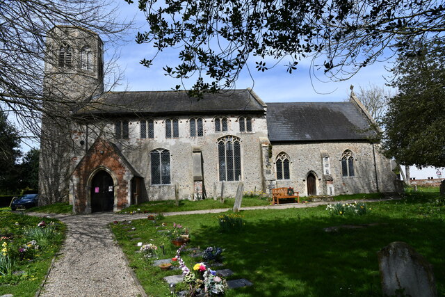
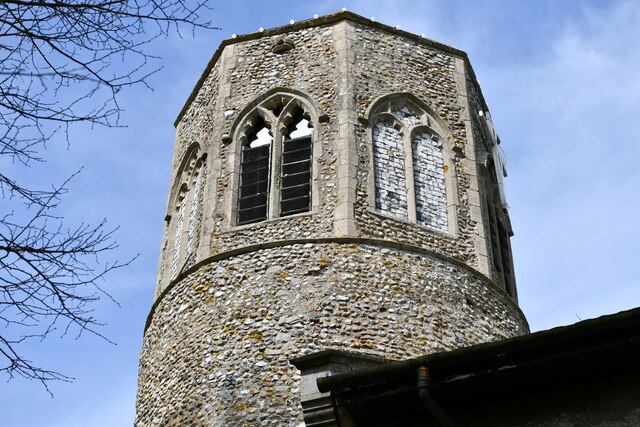
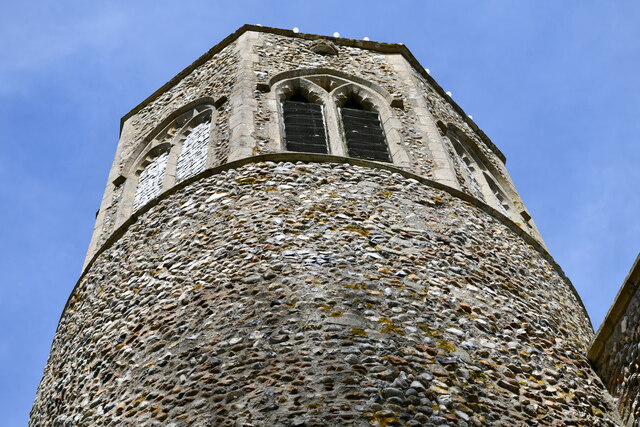
Forty Acre Plantation Images

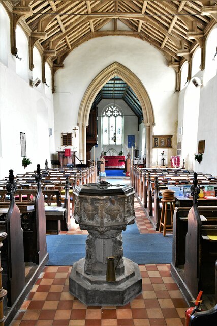
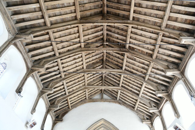
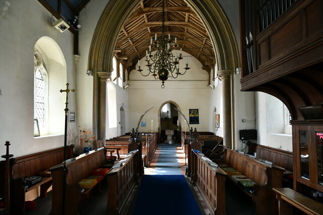
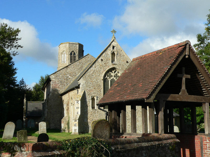
Images are sourced within 2km of 52.57628/1.3453272 or Grid Reference TG2602. Thanks to Geograph Open Source API. All images are credited.

Poringland, near Norwich Shops and offices are in this area.
Poringland, near Norwich
Shops and offices are in this area.
Poringland, All Saints Church: Southern aspect
Poringland, All Saints Church: c.1200 round tower with octagonal c14th top
Poringland, All Saints Church: Blocked north doorway
Poringland, All Saints Church: The nave
Poringland, All Saints Church: Octagonal font with the signs of the four Evangelists
Poringland, All Saints Church: Octagonal font with the signs of the four Evangelists and nave
Poringland, All Saints Church: The hammerbeam nave roof
Poringland, All Saints Church: c15th glass in the east window
Poringland, All Saints Church: c15th glass in the east window (detail)
Poringland, All Saints Church: The chancel and nave beyond
Poringland, All Saints Church: c15th glass fragments in a chancel window
Show me another place!

Forty Acre Plantation is located at Grid Ref: TG2602 (Lat: 52.57628, Lng: 1.3453272)

Administrative County: Norfolk

District: South Norfolk

Police Authority: Norfolk

What 3 Words

///firepower.declining.softly. Near Poringland, Norfolk

Related Wikis

Framingham Earl High School

Framingham Earl High School is a secondary school located in Framingham Earl in the English county of Norfolk to the south of Norwich. The school enrolls...

Framingham Earl

Framingham Earl is a small village and civil parish in the English county of Norfolk. The village is located 5.8 miles (9.3 km) north-west of Loddon and...

Framingham Pigot

Framingham Pigot is a village and civil parish in the English county of Norfolk. The village is located 6.4 miles (10.3 km) north-west of Loddon and 3...

Poringland

Poringland is a village in the district of South Norfolk, England. It lies 5 miles (8.0 km) south of Norwich city centre and 10 miles (16 km) north of...

Nearby Amenities

Located within 500m of 52.57628,1.3453272
Framingham Earl
Place: village
Lat/Long: 52.579367/1.3412499
Bus Stop
Greenacres Drive, adj
Naptan AtcoCode: 2900F1712
Naptan Bearing: NW
Naptan CommonName: Greenacres Drive
Naptan Indicator: adj
Naptan Locality: Framingham Earl
Naptan NaptanCode: nfoaptgm
Naptan PlusbusZoneRef: NRCH
Naptan Street: The Street
Naptan Verified: no
Source: naptan_import
Lat/Long: 52.5780242/1.3392369
Bus Stop
Oak Avenue, opp
Naptan AtcoCode: 2900P0810
Naptan Bearing: NW
Naptan CommonName: Oak Avenue
Naptan Indicator: opp
Naptan Locality: Poringland
Naptan NaptanCode: nfodpawg
Naptan PlusbusZoneRef: NRCH
Naptan Street: The Street
Naptan Verified: no
Source: naptan_import
Lat/Long: 52.5728088/1.3436527
Bus Stop
Railway Tavern, opp
Naptan AtcoCode: 2900P0811
Naptan Bearing: NW
Naptan CommonName: Railway Tavern
Naptan Indicator: opp
Naptan Locality: Poringland
Naptan NaptanCode: nfodpawj
Naptan PlusbusZoneRef: NRCH
Naptan ShortCommonName: The Street
Naptan Street: The Street
Naptan Verified: no
Source: naptan_import
Lat/Long: 52.5759093/1.3408771
Bus Stop
Greenacres Drive, opp
Naptan AtcoCode: 2900P0813
Naptan Bearing: SE
Naptan CommonName: Greenacres Drive
Naptan Indicator: opp
Naptan Locality: Poringland
Naptan NaptanCode: nfodpawp
Naptan PlusbusZoneRef: NRCH
Naptan Street: Norwich Road
Naptan Verified: no
Source: naptan_import
Lat/Long: 52.5775504/1.3394518
Bus Stop
Oak Avenue, adj
Alt Name: Poringland- opp Royal Oak
Naptan AltCommonName: Poringland- opp Royal Oak
Naptan AtcoCode: 2900P0817
Naptan Bearing: SE
Naptan BusStopType: CUS
Naptan CommonName: Oak Avenue
Naptan Indicator: adj
Naptan Locality: Poringland
Naptan NaptanCode: nfogmdwa
Naptan PlusbusZoneRef: NRCH
Naptan Street: The Street
Naptan Verified: no
Source: naptan_import
Lat/Long: 52.5726104/1.3439919
Bus Stop
Railway Tavern, adj
Naptan AtcoCode: 2900P104
Naptan Bearing: E
Naptan CommonName: Railway Tavern
Naptan Indicator: adj
Naptan Landmark: Railway Tavern
Naptan Locality: Poringland
Naptan NaptanCode: nfogpwtp
Naptan PlusbusZoneRef: NRCH
Naptan Street: Long Road
Naptan Verified: no
Source: naptan_import
Lat/Long: 52.5763808/1.3410607
Bus Stop
Hillside, opp
Naptan AtcoCode: 2900P0812
Naptan Bearing: SE
Naptan BusStopType: CUS
Naptan CommonName: Hillside
Naptan Indicator: opp
Naptan Locality: Poringland
Naptan NaptanCode: nfodpawm
Naptan PlusbusZoneRef: NRCH
Naptan Street: The Street
Naptan Verified: no
Source: naptan_import
Lat/Long: 52.5763179/1.3409284
Turning Circle
Lat/Long: 52.5743975/1.3408
Turning Circle
Lat/Long: 52.5723693/1.3464423
Turning Circle
Lat/Long: 52.5737253/1.3499554
Priority: equal
Lat/Long: 52.5767261/1.3382875
Crossing
Crossing: uncontrolled
Crossing Ref: zebra
Supervised: no
Tactile Paving: yes
Lat/Long: 52.5779041/1.3392516
Crossing
Crossing: uncontrolled
Lat/Long: 52.5775121/1.3397204
Turning Circle
Lat/Long: 52.5752086/1.3400161
Pharmacy
Well Pharmacy
Addr City: Poringland
Addr Housenumber: 16-18
Addr Postcode: NR14 7JR
Addr Street: The Street
Brand: Well Pharmacy
Brand Wikidata: Q7726524
Dispensing: yes
Healthcare: pharmacy
Source: Survey
Website: https://finder.well.co.uk/store/poringland-the-street
Lat/Long: 52.5744154/1.3422031
Fuel
Elvins Garage
Brand: Esso
Source: Survey
Lat/Long: 52.5756876/1.3409948
Groundhog Hardware Store
Shop: doityourself
Lat/Long: 52.575237/1.3413448
Post Office
Framingham Earl Post Office
Addr City: Norwich
Addr Postcode: NR14 7AB
Addr Street: Norwich Road
Addr Village: Framingham Earl
Brand: Post Office
Brand Wikidata: Q1783168
Opening Hours: Mo-Fr 08:30-17:30; Sa 09:00-14:00; Su off
Operator: One Stop
Ref Pol Id: 1201
Source: OS_OpenData_VectorMapLocal
Source Addr: pol_branch_list_2023‑09‑27
Website: https://www.postoffice.co.uk/branch-finder/0981362/framingham-earl
Lat/Long: 52.5780154/1.3394777
Earlsmead
Place: neighbourhood
Lat/Long: 52.5792088/1.3427997
Crossing
Crossing: unmarked
Lat/Long: 52.5784697/1.3389755
Give Way
Direction: forward
Lat/Long: 52.5779925/1.3391138
Waste Basket
Waste: dog_excrement
Lat/Long: 52.5784249/1.3389849
Waste Basket
Lat/Long: 52.5783385/1.3390057
Bench
Backrest: yes
Material: wood
Seats: 2
Lat/Long: 52.5783238/1.3390151
Framingham Earl
Inscription: This sign was designed and painted by Sheelah Michalski who for sixteen years was a Councillor of this parish / Died 31st December 1984
Man Made: village_sign
Material: metal
Lat/Long: 52.5783303/1.3390392
Crossing
Crossing: unmarked
Lat/Long: 52.5784492/1.3389024
Give Way
Lat/Long: 52.5784318/1.3388478
Entrance: main
Lat/Long: 52.5780495/1.3393752
Post Box
Operator: Royal Mail
Post Box Type: pillar
Royal Cypher: EIIR
Royal Cypher Wikidata: Q33102113
Lat/Long: 52.5780406/1.3393752
Addr Postcode: NR14 7UF
Building: yes
Lat/Long: 52.5795724/1.3414884
Addr Postcode: NR14 7UQ
Building: yes
Lat/Long: 52.5796719/1.343061
Addr Postcode: NR14 7JJ
Building: yes
Lat/Long: 52.5773584/1.3393121
Addr Postcode: NR14 7UD
Building: yes
Lat/Long: 52.5797686/1.3421825
Generator Method: photovoltaic
Generator Output Electricity: yes
Generator Source: solar
Generator Type: solar_photovoltaic_panel
Location: roof
Power: generator
Lat/Long: 52.5739/1.3403213
Generator Method: photovoltaic
Generator Output Electricity: yes
Generator Source: solar
Generator Type: solar_photovoltaic_panel
Location: roof
Power: generator
Lat/Long: 52.5746009/1.3402757
Generator Method: photovoltaic
Generator Output Electricity: yes
Generator Source: solar
Generator Type: solar_photovoltaic_panel
Location: roof
Power: generator
Lat/Long: 52.5746384/1.3412842
Generator Method: photovoltaic
Generator Output Electricity: yes
Generator Source: solar
Generator Type: solar_photovoltaic_panel
Location: roof
Power: generator
Lat/Long: 52.573261/1.3438216
Generator Method: photovoltaic
Generator Output Electricity: yes
Generator Source: solar
Generator Type: solar_photovoltaic_panel
Location: roof
Power: generator
Lat/Long: 52.5732757/1.3446665
Generator Method: photovoltaic
Generator Output Electricity: yes
Generator Source: solar
Generator Type: solar_photovoltaic_panel
Location: roof
Power: generator
Lat/Long: 52.5727312/1.3480273
Generator Method: photovoltaic
Generator Output Electricity: yes
Generator Source: solar
Generator Type: solar_photovoltaic_panel
Location: roof
Power: generator
Lat/Long: 52.5722894/1.346202
Generator Method: photovoltaic
Generator Output Electricity: yes
Generator Source: solar
Generator Type: solar_photovoltaic_panel
Location: roof
Power: generator
Lat/Long: 52.5768797/1.3381112
The data included in this document is from www.openstreetmap.org. The data is made available under ODbL.

Have you been to Forty Acre Plantation?

Leave your review of Forty Acre Plantation below (or comments, questions and feedback).