Poringland Plantation

Wood, Forest in Norfolk South Norfolk

England

Poringland Plantation

St. Andrew's Church, Framingham Pigot
St. Andrew's Church, Framingham Pigot Credit: TCExplorer

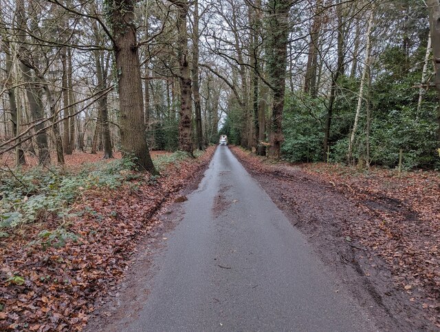
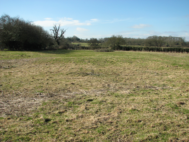
Poringland Plantation, located in the county of Norfolk, England, is a picturesque wood and forest area that covers approximately 20 acres of land. It is situated on the outskirts of the village of Poringland, just a few miles south of the city of Norwich.

The plantation is known for its diverse range of tree species, including oak, beech, birch, and pine. These trees create a dense canopy that provides a home to a variety of wildlife, including birds, squirrels, and deer. The undergrowth is rich with ferns, wildflowers, and mosses, adding to the natural beauty of the woodland.

The plantation is a popular destination for nature enthusiasts, hikers, and photographers. It offers several well-maintained walking trails that wind through the forest, allowing visitors to explore the area at their own pace. The paths are clearly marked, ensuring that visitors can navigate their way through the plantation easily.

In addition to its natural beauty, Poringland Plantation also has a rich history. It was originally part of a larger estate and has been used for timber production for centuries. The plantation has witnessed various stages of growth and management, resulting in a mix of mature trees and younger saplings.

The peaceful ambiance of Poringland Plantation makes it an ideal location for those seeking a tranquil escape from the hustle and bustle of city life. Whether it's a leisurely stroll through the woods or a bird-watching expedition, this woodland gem offers a serene and idyllic experience for all who visit.

If you have any feedback on the listing, please let us know in the comments section below.

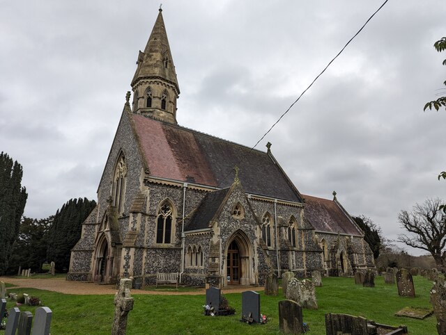
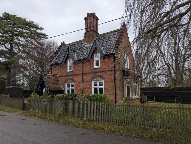
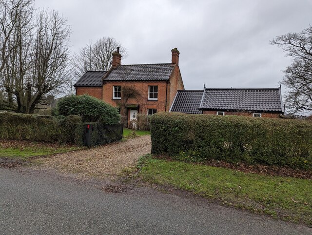
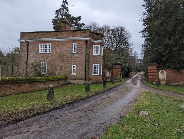
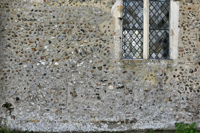
Poringland Plantation Images

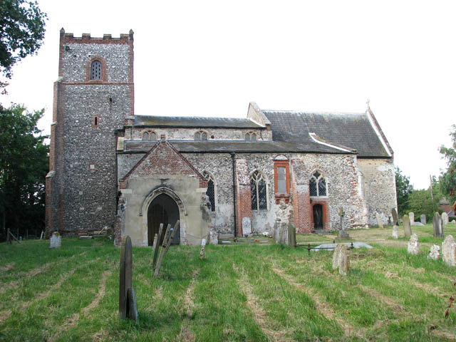
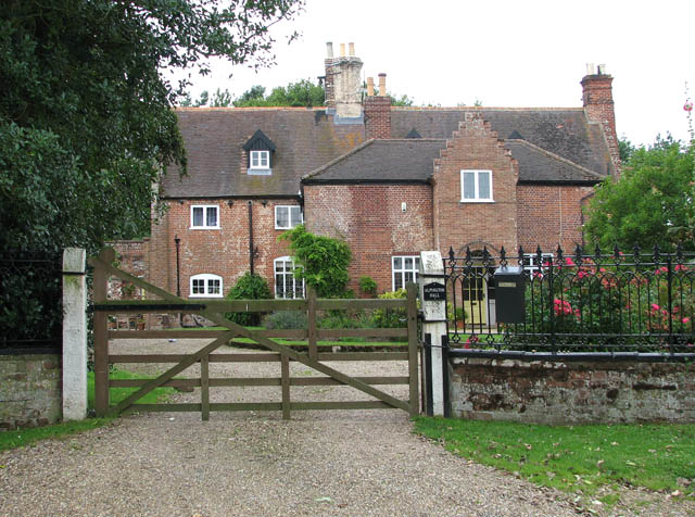
Images are sourced within 2km of 52.574361/1.346731 or Grid Reference TG2602. Thanks to Geograph Open Source API. All images are credited.

St. Andrew's Church, Framingham Pigot
Beehaven cottage, Framingham Pigot
Honeysuckle Cottages North, Framingham Pigot
Corner Cottage, Framingham Pigot
Nunn's Cottage, Framingham Pigot
Eutrophic pond in Framingham Pigot Only a little enriched...!
Eutrophic pond in Framingham Pigot
Only a little enriched...!
Hill House, Framingham Pigot
North Lodge, Framingham Pigot This was once the entrance to Framingham Hall, which was shown on a 1797 map. The hall was formerly lived in by Geoffrey Colman. It was demolished in 1973, but the gate houses and walls remain. It is not listed.
North Lodge, Framingham Pigot
This was once the entrance to Framingham Hall, which was shown on a 1797 map. The hall was formerly lived in by Geoffrey Colman. It was demolished in 1973, but the gate houses and walls remain. It is not listed.
Spur Lane, Framingham Pigot
1 and 2 Spur Lane, Framingham Pigot
Framingham House, 58 Long Road, Framingham Earl The house appears to have been extensively renovated. Unfortunately, many trees have been felled.
Framingham House, 58 Long Road, Framingham Earl
The house appears to have been extensively renovated. Unfortunately, many trees have been felled.
Poringland, near Norwich Shops and offices are in this area.
Poringland, near Norwich
Shops and offices are in this area.
Poringland, All Saints Church: Southern aspect
Poringland, All Saints Church: c.1200 round tower with octagonal c14th top
Poringland, All Saints Church: Blocked north doorway
Poringland, All Saints Church: The nave
Poringland, All Saints Church: Octagonal font with the signs of the four Evangelists
Show me another place!

Poringland Plantation is located at Grid Ref: TG2602 (Lat: 52.574361, Lng: 1.346731)

Administrative County: Norfolk

District: South Norfolk

Police Authority: Norfolk

What 3 Words

///system.apprehend.survive. Near Poringland, Norfolk

Related Wikis

Framingham Earl

Framingham Earl is a small village and civil parish in the English county of Norfolk. The village is located 5.8 miles (9.3 km) north-west of Loddon and...

Framingham Earl High School

Framingham Earl High School is a secondary school located in Framingham Earl in the English county of Norfolk to the south of Norwich. The school enrolls...

Poringland

Poringland is a village in the district of South Norfolk, England. It lies 5 miles (8.0 km) south of Norwich city centre and 10 miles (16 km) north of...

Framingham Pigot

Framingham Pigot is a village and civil parish in the English county of Norfolk. The village is located 6.4 miles (10.3 km) north-west of Loddon and 3...

Arminghall

Arminghall is a village and former civil parish, now in the parish of Caistor St Edmund and Bixley, in the South Norfolk district, in the county of Norfolk...

Bixley medieval settlement

Bixley medieval settlement is a deserted medieval village in Norfolk, England, about 2 miles (3.2 km) south-east of Norwich. It is a Scheduled Monument...

Yelverton, Norfolk

Yelverton is a village and civil parish in the English county of Norfolk, situated some 5 miles (8.0 km) south east of Norwich and closely associated with...

Alpington

Alpington is a village and civil parish in the English county of Norfolk. It is situated about six miles (10 km) south-east of Norwich and is closely associated...

Nearby Amenities

Located within 500m of 52.574361,1.346731
Bus Stop
Fitzgerald Road, opp
Naptan AtcoCode: 2900P0102
Naptan Bearing: S
Naptan BusStopType: CUS
Naptan CommonName: Fitzgerald Road
Naptan Indicator: opp
Naptan Landmark: No. 62 St Marys Road
Naptan Locality: Poringland
Naptan NaptanCode: nfogpadw
Naptan PlusbusZoneRef: NRCH
Naptan Street: St Marys Road
Naptan Verified: no
Source: naptan_import
Lat/Long: 52.5718482/1.3502667
Bus Stop
Oak Avenue, opp
Naptan AtcoCode: 2900P0810
Naptan Bearing: NW
Naptan CommonName: Oak Avenue
Naptan Indicator: opp
Naptan Locality: Poringland
Naptan NaptanCode: nfodpawg
Naptan PlusbusZoneRef: NRCH
Naptan Street: The Street
Naptan Verified: no
Source: naptan_import
Lat/Long: 52.5728088/1.3436527
Bus Stop
Railway Tavern, opp
Naptan AtcoCode: 2900P0811
Naptan Bearing: NW
Naptan CommonName: Railway Tavern
Naptan Indicator: opp
Naptan Locality: Poringland
Naptan NaptanCode: nfodpawj
Naptan PlusbusZoneRef: NRCH
Naptan ShortCommonName: The Street
Naptan Street: The Street
Naptan Verified: no
Source: naptan_import
Lat/Long: 52.5759093/1.3408771
Bus Stop
Oak Avenue, adj
Alt Name: Poringland- opp Royal Oak
Naptan AltCommonName: Poringland- opp Royal Oak
Naptan AtcoCode: 2900P0817
Naptan Bearing: SE
Naptan BusStopType: CUS
Naptan CommonName: Oak Avenue
Naptan Indicator: adj
Naptan Locality: Poringland
Naptan NaptanCode: nfogmdwa
Naptan PlusbusZoneRef: NRCH
Naptan Street: The Street
Naptan Verified: no
Source: naptan_import
Lat/Long: 52.5726104/1.3439919
Bus Stop
No 8, opp
Naptan AtcoCode: 2900P084
Naptan Bearing: S
Naptan BusStopType: CUS
Naptan CommonName: No 8
Naptan Indicator: opp
Naptan Landmark: No 8
Naptan Locality: Poringland
Naptan NaptanCode: nfodpdam
Naptan Street: All Saints Road
Naptan Verified: no
Source: naptan_import
Lat/Long: 52.5724011/1.352656
Bus Stop
Railway Tavern, adj
Naptan AtcoCode: 2900P104
Naptan Bearing: E
Naptan CommonName: Railway Tavern
Naptan Indicator: adj
Naptan Landmark: Railway Tavern
Naptan Locality: Poringland
Naptan NaptanCode: nfogpwtp
Naptan PlusbusZoneRef: NRCH
Naptan Street: Long Road
Naptan Verified: no
Source: naptan_import
Lat/Long: 52.5763808/1.3410607
Bus Stop
Hillside, opp
Naptan AtcoCode: 2900P0812
Naptan Bearing: SE
Naptan BusStopType: CUS
Naptan CommonName: Hillside
Naptan Indicator: opp
Naptan Locality: Poringland
Naptan NaptanCode: nfodpawm
Naptan PlusbusZoneRef: NRCH
Naptan Street: The Street
Naptan Verified: no
Source: naptan_import
Lat/Long: 52.5763179/1.3409284
Turning Circle
Lat/Long: 52.571273/1.3513979
Turning Circle
Lat/Long: 52.5743975/1.3408
Turning Circle
Lat/Long: 52.5733314/1.352117
Turning Circle
Lat/Long: 52.5723693/1.3464423
Crossing
Crossing: unmarked
Lat/Long: 52.5725454/1.3503956
Turning Circle
Lat/Long: 52.5737253/1.3499554
Fixme: Where does Public Footpath go from here?
Lat/Long: 52.5705827/1.3478904
Turning Circle
Lat/Long: 52.5752086/1.3400161
Entrance: yes
Lat/Long: 52.5705241/1.3430583
Entrance: yes
Wheelchair: yes
Lat/Long: 52.5705154/1.3429309
Access: customers
Barrier: swing_gate
Bicycle: yes
Foot: yes
Motorcar: yes
Motorcycle: yes
Lat/Long: 52.5706741/1.3446815
Pharmacy
Well Pharmacy
Addr City: Poringland
Addr Housenumber: 16-18
Addr Postcode: NR14 7JR
Addr Street: The Street
Brand: Well Pharmacy
Brand Wikidata: Q7726524
Dispensing: yes
Healthcare: pharmacy
Source: Survey
Website: https://finder.well.co.uk/store/poringland-the-street
Lat/Long: 52.5744154/1.3422031
Fuel
Elvins Garage
Brand: Esso
Source: Survey
Lat/Long: 52.5756876/1.3409948
Groundhog Hardware Store
Shop: doityourself
Lat/Long: 52.575237/1.3413448
Shop: hairdresser
Lat/Long: 52.5717323/1.3446252
Fixme: Where does path go from here?
Lat/Long: 52.570319/1.3496223
Post Box
Operator: Royal Mail
Post Box Mounting: pier
Post Box Type: lamp
Royal Cypher: EIIR
Royal Cypher Wikidata: Q33102113
Lat/Long: 52.5728016/1.3504731
Addr Postcode: NR14 7WY
Building: yes
Lat/Long: 52.5701207/1.3443266
Addr Postcode: NR14 7WZ
Building: yes
Lat/Long: 52.5701211/1.3443119
Addr Postcode: NR14 7JU
Building: yes
Lat/Long: 52.5711791/1.3425178
Generator Method: photovoltaic
Generator Output Electricity: yes
Generator Source: solar
Generator Type: solar_photovoltaic_panel
Location: roof
Power: generator
Lat/Long: 52.5737011/1.3533944
Generator Method: photovoltaic
Generator Output Electricity: yes
Generator Source: solar
Generator Type: solar_photovoltaic_panel
Location: roof
Power: generator
Lat/Long: 52.5739/1.3403213
Generator Method: photovoltaic
Generator Output Electricity: yes
Generator Source: solar
Generator Type: solar_photovoltaic_panel
Location: roof
Power: generator
Lat/Long: 52.5746009/1.3402757
Generator Method: photovoltaic
Generator Output Electricity: yes
Generator Source: solar
Generator Type: solar_photovoltaic_panel
Location: roof
Power: generator
Lat/Long: 52.5746384/1.3412842
Generator Method: photovoltaic
Generator Output Electricity: yes
Generator Source: solar
Generator Type: solar_photovoltaic_panel
Location: roof
Power: generator
Lat/Long: 52.573261/1.3438216
Generator Method: photovoltaic
Generator Output Electricity: yes
Generator Source: solar
Generator Type: solar_photovoltaic_panel
Location: roof
Power: generator
Lat/Long: 52.5732757/1.3446665
Generator Method: photovoltaic
Generator Output Electricity: yes
Generator Source: solar
Generator Type: solar_photovoltaic_panel
Location: roof
Power: generator
Lat/Long: 52.5707669/1.3502696
Generator Method: photovoltaic
Generator Output Electricity: yes
Generator Source: solar
Generator Type: solar_photovoltaic_panel
Location: roof
Power: generator
Lat/Long: 52.570687/1.3498646
Generator Method: photovoltaic
Generator Output Electricity: yes
Generator Source: solar
Generator Type: solar_photovoltaic_panel
Location: roof
Power: generator
Lat/Long: 52.5711271/1.3499236
Generator Method: photovoltaic
Generator Output Electricity: yes
Generator Source: solar
Generator Type: solar_photovoltaic_panel
Location: roof
Power: generator
Lat/Long: 52.5708174/1.3498914
Generator Method: photovoltaic
Generator Output Electricity: yes
Generator Source: solar
Generator Type: solar_photovoltaic_panel
Location: roof
Power: generator
Lat/Long: 52.5713065/1.3516737
Generator Method: photovoltaic
Generator Output Electricity: yes
Generator Source: solar
Generator Type: solar_photovoltaic_panel
Location: roof
Power: generator
Lat/Long: 52.5722373/1.3516
Generator Method: photovoltaic
Generator Output Electricity: yes
Generator Source: solar
Generator Type: solar_photovoltaic_panel
Location: roof
Power: generator
Lat/Long: 52.5727312/1.3480273
Generator Method: photovoltaic
Generator Output Electricity: yes
Generator Source: solar
Generator Type: solar_photovoltaic_panel
Location: roof
Power: generator
Lat/Long: 52.5722894/1.346202
The data included in this document is from www.openstreetmap.org. The data is made available under ODbL.

Have you been to Poringland Plantation?

Leave your review of Poringland Plantation below (or comments, questions and feedback).