Ballast Plantation

Wood, Forest in Norfolk North Norfolk

England

Ballast Plantation

St.James Church, Southrepps Off Clipped Hedge Lane
<span class="nowrap"><a title="http://www.norfolkchurches.co.uk/southrepps/southrepps.htm" rel="nofollow ugc noopener" href="http://www.norfolkchurches.co.uk/southrepps/southrepps.htm">Link</a><img style="margin-left:2px;" alt="External link" title="External link - shift click to open in new window" src="https://s1.geograph.org.uk/img/external.png" width="10" height="10"/></span>
St.James Church, Southrepps Credit: Geographer

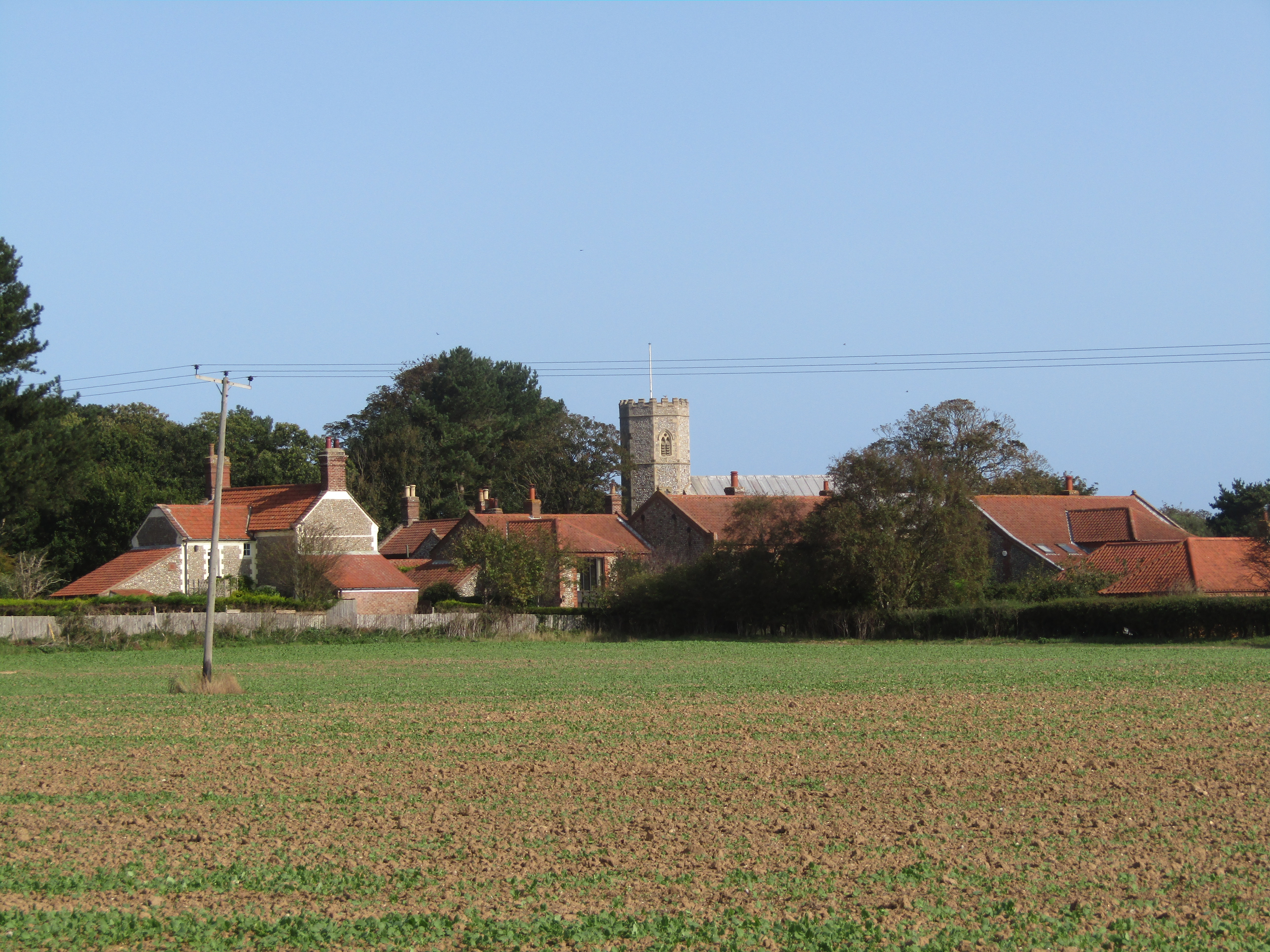
Ballast Plantation is a picturesque woodland area located in Norfolk, England. Situated in the heart of the county, it covers a vast expanse of land, making it an ideal destination for nature enthusiasts and outdoor enthusiasts alike. The plantation is predominantly made up of dense forests and is known for its abundant wildlife and diverse flora.

With its rich history dating back several centuries, Ballast Plantation has played a significant role in shaping the local landscape. Originally, the area was used as a ballast for ships returning from overseas voyages, hence the name. Over time, the site was transformed into a thriving woodland, boasting an array of tree species, including oak, birch, and beech.

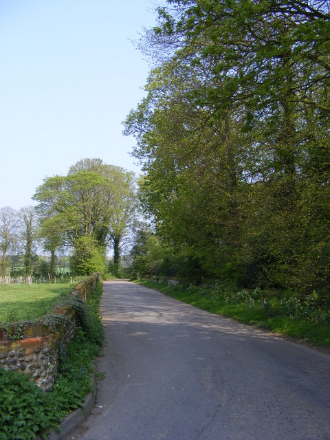
The plantation offers visitors a tranquil and serene environment, perfect for a leisurely stroll or a peaceful picnic. The well-maintained trails provide easy access to explore the enchanting woodlands, allowing visitors to immerse themselves in the natural beauty of the area. The plantation also features a small stream that adds to its charm, providing a soothing backdrop for those seeking a moment of tranquility.

As a haven for wildlife, Ballast Plantation attracts a wide range of species, including deer, rabbits, and a variety of bird species. Birdwatchers can spot woodpeckers, owls, and various songbirds in their natural habitat. The plantation's diverse ecosystem also supports a variety of plant species, making it a haven for botany enthusiasts.

Overall, Ballast Plantation offers a unique and captivating experience for visitors, whether they are seeking a peaceful retreat or an opportunity to explore the natural wonders of Norfolk's woodlands.

If you have any feedback on the listing, please let us know in the comments section below.

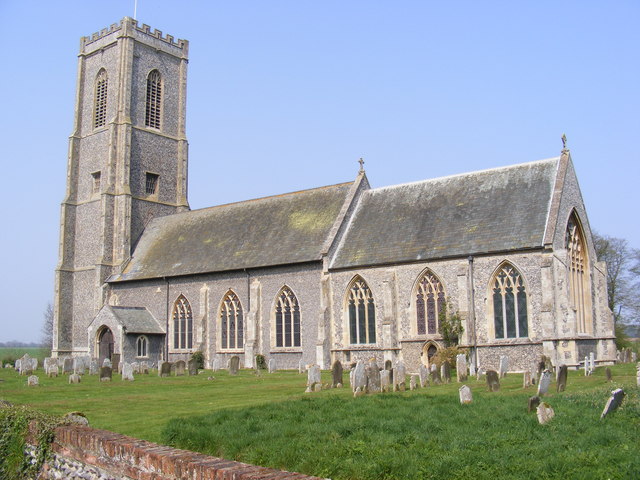
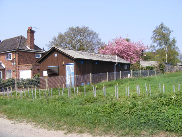
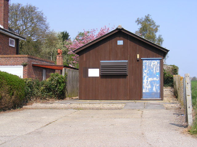
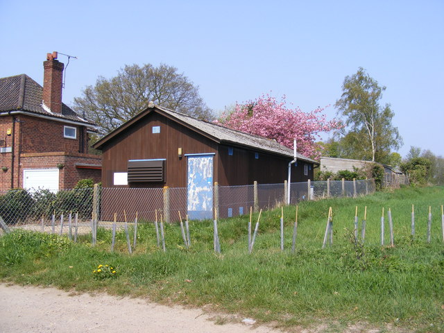
Ballast Plantation Images

Images are sourced within 2km of 52.893365/1.3709047 or Grid Reference TG2638. Thanks to Geograph Open Source API. All images are credited.

St.James Church, Southrepps Off Clipped Hedge Lane
<span class="nowrap"><a title="http://www.norfolkchurches.co.uk/southrepps/southrepps.htm" rel="nofollow ugc noopener" href="http://www.norfolkchurches.co.uk/southrepps/southrepps.htm">Link</a><img style="margin-left:2px;" alt="External link" title="External link - shift click to open in new window" src="https://s1.geograph.org.uk/img/external.png" width="10" height="10"/></span>
St.James Church, Southrepps
Off Clipped Hedge Lane LinkExternal link
Notice Board of  St. James Church, Southrepps On Clipped Hedge Lane
Notice Board of St. James Church, Southrepps
On Clipped Hedge Lane
Clipped Hedge Lane, Southrepps At the junction with Church Street
Clipped Hedge Lane, Southrepps
At the junction with Church Street
Whitegate Road, Southrepps <span class="nowrap"><a title="https://en.wikipedia.org/wiki/Southrepps" rel="nofollow ugc noopener" href="https://en.wikipedia.org/wiki/Southrepps">Link</a><img style="margin-left:2px;" alt="External link" title="External link - shift click to open in new window" src="https://s1.geograph.org.uk/img/external.png" width="10" height="10"/></span>
Whitegate Road, Southrepps
Southrepps Telephone Exchange On Chapel Street
Southrepps Telephone Exchange
On Chapel Street
Southrepps Telephone Exchange On Chapel Street
Southrepps Telephone Exchange
On Chapel Street
Southrepps Telephone Exchange On Chapel Street
Southrepps Telephone Exchange
On Chapel Street
Church Street/Whitegate Street sign on Church Street at the junction with Whitegate Street
Church Street/Whitegate Street sign
on Church Street at the junction with Whitegate Street
Chapel Street, Southrepps Near Southrepps Telephone Exchange
Chapel Street, Southrepps
Near Southrepps Telephone Exchange
Sea defences on Trimingham beach Large sections of the old wooden revetments are badly deteriorated or missing and provide no protection for the cliff face which is crumbling away. Rates of erosion are highly variable, with the highest rates being found where there is a combination of easily erodable material and coastlines exposed to strong winds and high wave energy. The lowest rates (at Sheringham, Cromer and Bacton) reflect the effectiveness of the coastal protection schemes there. By contrast, the high rates of erosion between Overstrand and Trimingham are the result of the lack of coastal defences.
Sea defences on Trimingham beach
Large sections of the old wooden revetments are badly deteriorated or missing and provide no protection for the cliff face which is crumbling away. Rates of erosion are highly variable, with the highest rates being found where there is a combination of easily erodable material and coastlines exposed to strong winds and high wave energy. The lowest rates (at Sheringham, Cromer and Bacton) reflect the effectiveness of the coastal protection schemes there. By contrast, the high rates of erosion between Overstrand and Trimingham are the result of the lack of coastal defences.
Norwegian rocks at Trimingham beach Here the wooden revetments have almost completely deteriorated and an attempt has been made to replace them with large rocks brought from Norway. There are not very many rocks to be seen so the attempt might have been only half-hearted.  They don't seem to provide much protection for the cliff face which is crumbling away. Rates of erosion are highly variable, with the highest rates being found where there is a combination of easily erodable material and coastlines exposed to strong winds and high wave energy. The lowest rates (at Sheringham, Cromer and Bacton) reflect the effectiveness of the coastal protection schemes there. By contrast, the high rates of erosion between Overstrand and Trimingham are the result of the lack of coastal defences.
Norwegian rocks at Trimingham beach
Here the wooden revetments have almost completely deteriorated and an attempt has been made to replace them with large rocks brought from Norway. There are not very many rocks to be seen so the attempt might have been only half-hearted. They don't seem to provide much protection for the cliff face which is crumbling away. Rates of erosion are highly variable, with the highest rates being found where there is a combination of easily erodable material and coastlines exposed to strong winds and high wave energy. The lowest rates (at Sheringham, Cromer and Bacton) reflect the effectiveness of the coastal protection schemes there. By contrast, the high rates of erosion between Overstrand and Trimingham are the result of the lack of coastal defences.
Rocks and revetments Here the wooden revetments have almost completely deteriorated and an attempt has been made to replace them with large rocks brought from Norway. There are not very many rocks to be seen so the attempt might have been only half-hearted.  They don't seem to provide much protection for the cliff face which is crumbling away. Rates of erosion are highly variable, with the highest rates being found where there is a combination of easily erodable material and coastlines exposed to strong winds and high wave energy. The lowest rates (at Sheringham, Cromer and Bacton) reflect the effectiveness of the coastal protection schemes there. By contrast, the high rates of erosion between Overstrand and Trimingham are the result of the lack of coastal defences.
Rocks and revetments
Here the wooden revetments have almost completely deteriorated and an attempt has been made to replace them with large rocks brought from Norway. There are not very many rocks to be seen so the attempt might have been only half-hearted. They don't seem to provide much protection for the cliff face which is crumbling away. Rates of erosion are highly variable, with the highest rates being found where there is a combination of easily erodable material and coastlines exposed to strong winds and high wave energy. The lowest rates (at Sheringham, Cromer and Bacton) reflect the effectiveness of the coastal protection schemes there. By contrast, the high rates of erosion between Overstrand and Trimingham are the result of the lack of coastal defences.
The beach below Trimingham
Crumbling cliffs at Trimingham beach Here the wooden revetments have almost completely deteriorated the don't provide  much protection for the cliff face which is crumbling away. Rates of erosion are highly variable, with the highest rates being found where there is a combination of easily erodable material and coastlines exposed to strong winds and high wave energy. The lowest rates (at Sheringham, Cromer and Bacton) reflect the effectiveness of the coastal protection schemes there. By contrast, the high rates of erosion between Overstrand and Trimingham are the result of the lack of coastal defences.
Crumbling cliffs at Trimingham beach
Here the wooden revetments have almost completely deteriorated the don't provide much protection for the cliff face which is crumbling away. Rates of erosion are highly variable, with the highest rates being found where there is a combination of easily erodable material and coastlines exposed to strong winds and high wave energy. The lowest rates (at Sheringham, Cromer and Bacton) reflect the effectiveness of the coastal protection schemes there. By contrast, the high rates of erosion between Overstrand and Trimingham are the result of the lack of coastal defences.
Wooden groyne submerged at high tide
Gulls perched on wooden groyne For a wider view of this location see > <a title="https://www.geograph.org.uk/photo/2965475" href="https://www.geograph.org.uk/photo/2965475">Link</a>.
Gulls perched on wooden groyne
For a wider view of this location see > Link.
Damaged revetments on Trimingham beach
Show me another place!

Ballast Plantation is located at Grid Ref: TG2638 (Lat: 52.893365, Lng: 1.3709047)

Administrative County: Norfolk

District: North Norfolk

Police Authority: Norfolk

What 3 Words

///regulate.newly.plod. Near Overstrand, Norfolk

Related Wikis

Trimingham railway station

Trimingham railway station was a station in Trimingham, Norfolk on the Norfolk and Suffolk Joint Railway line between Cromer Beach and North Walsham. It...
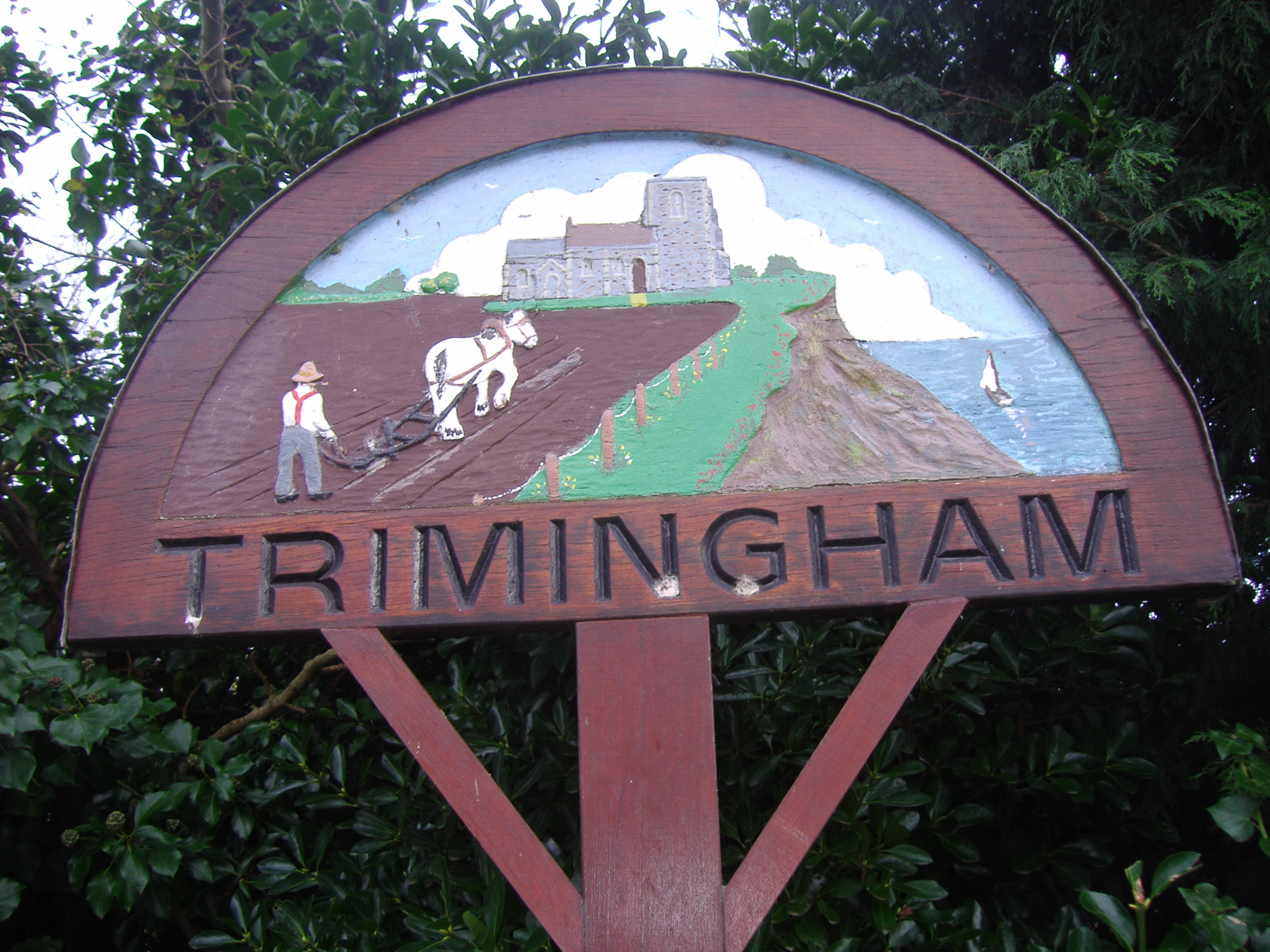
Trimingham

Trimingham is a coastal village and a civil parish in the North Norfolk district of Norfolk, England. The village is 5 miles (8 km) north of North Walsham...

Sidestrand and Trimingham Cliffs

Sidestrand and Trimingham Cliffs is a 133.9-hectare (331-acre) biological and geological Site of Special Scientific Interest south-east of Cromer in Norfolk...

Frogshall

Frogshall is a small hamlet within the civil parish of Northrepps in the English county of Norfolk. The hamlet is 5.2 miles (8.4 km) southeast of Cromer...

Sidestrand

Sidestrand is a village and a civil parish on the coast of the English county of Norfolk. The village is 23.7 mi (38.1 km) north of Norwich, 3.3 mi (5...

Sidestrand Halt railway station

Sidestrand Halt was a railway station on the Norfolk and Suffolk Joint Railway which briefly served the Norfolk coastal village of Sidestrand from 1936...
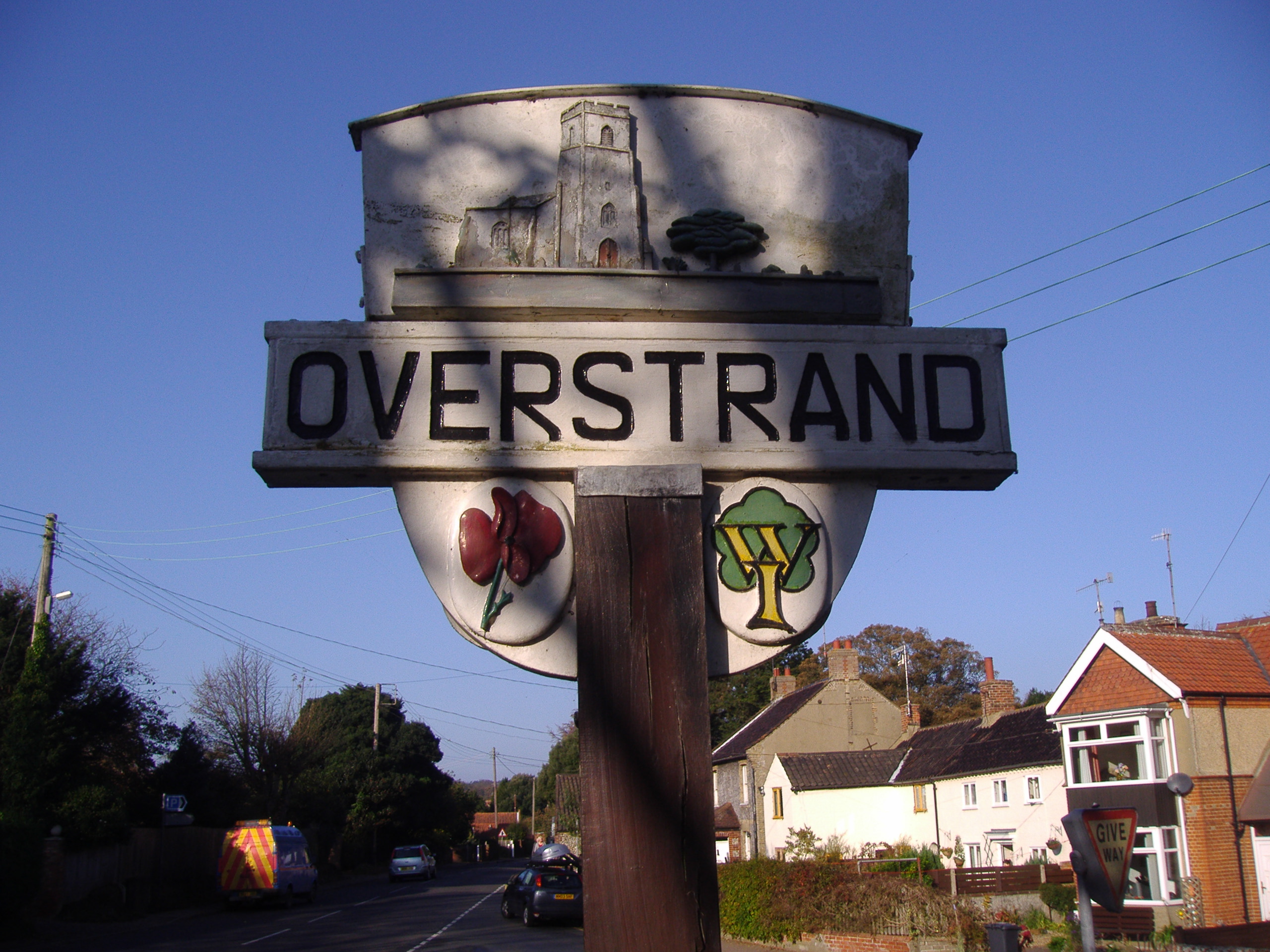
Overstrand

Overstrand is a village (population 1,030) on the north coast of Norfolk in England, two miles east of Cromer. It was once a modest fishing station, with...
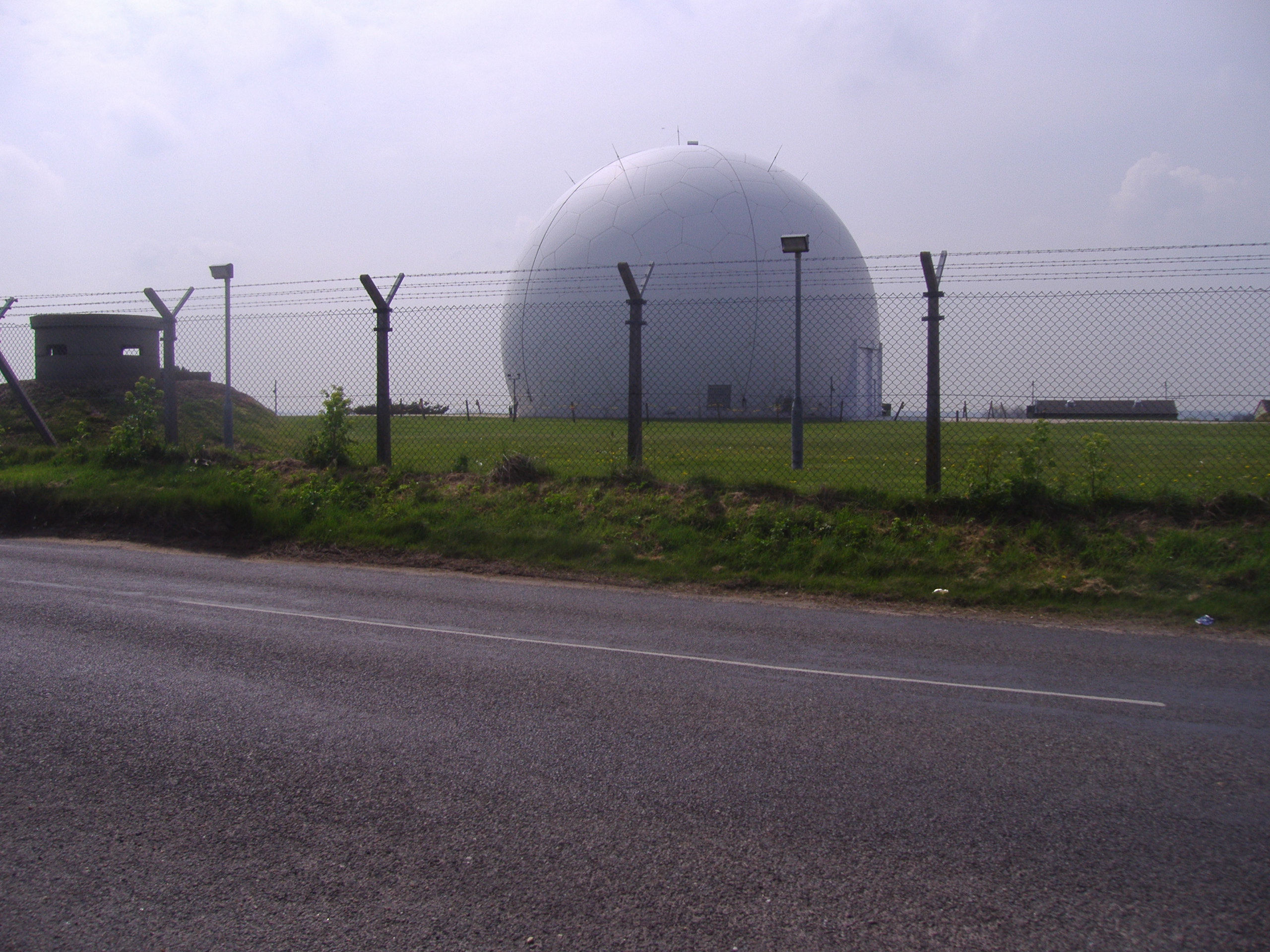
RAF Trimingham

Remote Radar Head Trimingham or RRH Trimingham is a former TPS-77 radar station situated on the coast in the English county of Norfolk. The site is located...

Have you been to Ballast Plantation?

Leave your review of Ballast Plantation below (or comments, questions and feedback).