Barn Wood

Wood, Forest in Norfolk South Norfolk

England

Barn Wood

Thorpe Marshes Nature Reserve
Thorpe Marshes Nature Reserve Credit: Jeremy Halls

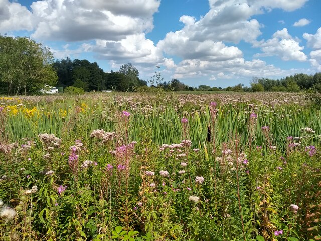
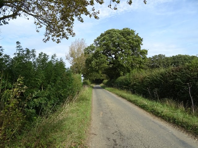
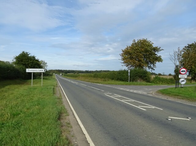
Barn Wood is a picturesque forest located in Norfolk, England. It covers an area of approximately 200 acres and is a popular destination for nature enthusiasts and outdoor enthusiasts alike. The forest is known for its dense woodlands, ancient trees, and diverse wildlife.

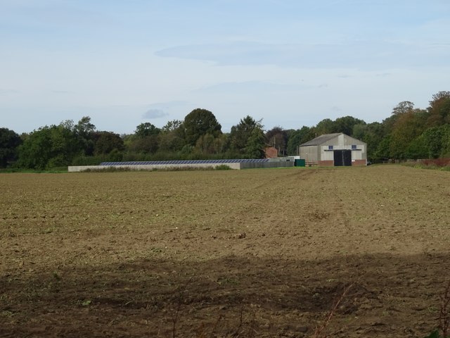
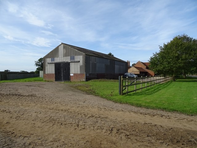
One of the standout features of Barn Wood is its abundance of barns, which give the forest its name. These barns were built in the 19th century and served as storage spaces for crops and livestock. Although many of the barns have fallen into disrepair over the years, they add a rustic charm to the forest and serve as a reminder of its agricultural past.

The woodland itself is dominated by a variety of tree species, including oak, beech, and ash. These trees provide a rich habitat for numerous bird species, such as woodpeckers, owls, and warblers. Visitors can often spot squirrels, rabbits, and deer while exploring the forest trails.

Barn Wood offers a range of activities for visitors to enjoy. There are several well-maintained walking trails that wind through the forest, allowing visitors to experience its natural beauty up close. Additionally, there are designated picnic areas where families can relax and enjoy a meal surrounded by nature.

The forest is managed and maintained by the local authorities, ensuring its preservation for future generations to enjoy. Barn Wood truly encapsulates the beauty of the Norfolk countryside and offers a tranquil escape from the hustle and bustle of everyday life.

If you have any feedback on the listing, please let us know in the comments section below.
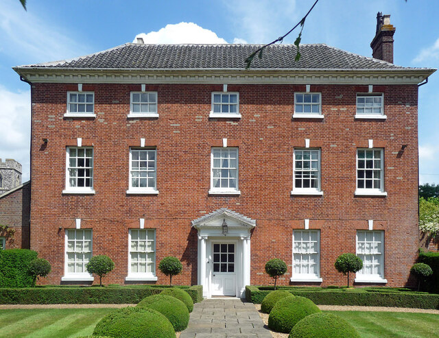
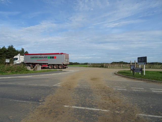
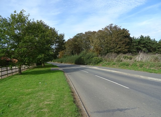
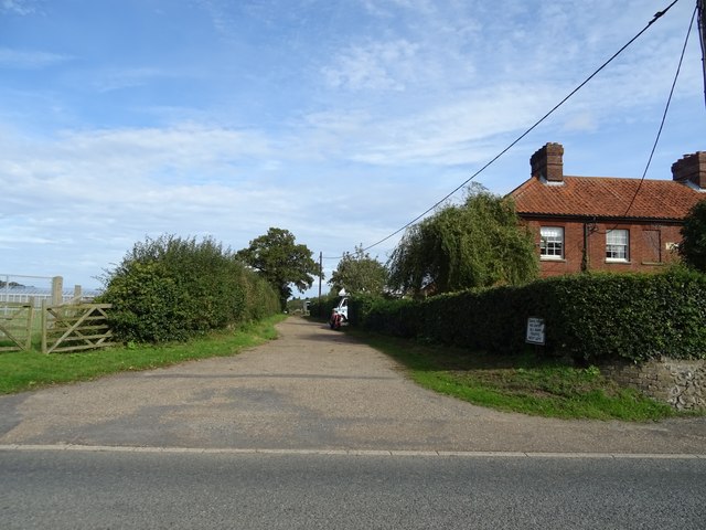
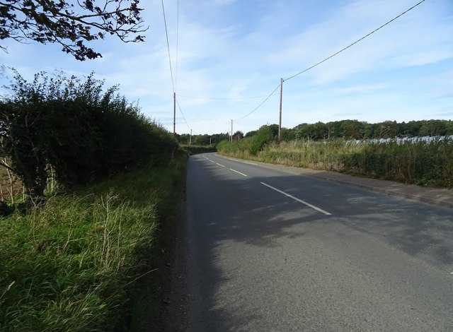
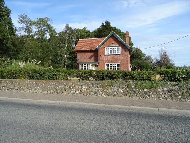
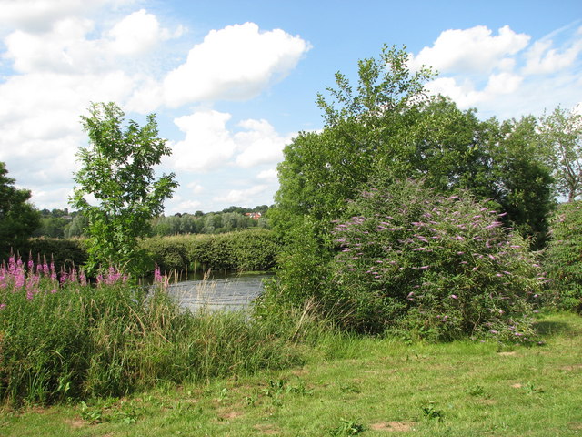
Barn Wood Images

Images are sourced within 2km of 52.61426/1.3498052 or Grid Reference TG2607. Thanks to Geograph Open Source API. All images are credited.

Thorpe Marshes Nature Reserve
Yellow Iris, Thorpe Marshes Nature Reserve
War Grave of George William West RASC Driver George William West was the son of Edmund and Gertrude West, of Lakenham. He married Amy Elizabeth Newitt in 1939 and lived at Hill Cottages in Whitlingham. He served as a driver in the RASC, 593 Transport Coy, and in the Ammunition Column for 33rd Brigade. He was injured and returned home where he died 13th September 1943. He is buried in Thorpe (St Andrew) Church Cemetery extension. His memorial can be seen here <a title="https://www.geograph.org.uk/photo/6590004" href="https://www.geograph.org.uk/photo/6590004">Link</a>
War Grave of George William West RASC Driver
George William West was the son of Edmund and Gertrude West, of Lakenham. He married Amy Elizabeth Newitt in 1939 and lived at Hill Cottages in Whitlingham. He served as a driver in the RASC, 593 Transport Coy, and in the Ammunition Column for 33rd Brigade. He was injured and returned home where he died 13th September 1943. He is buried in Thorpe (St Andrew) Church Cemetery extension. His memorial can be seen here Link
The B1332 junction with the A146 approaching Norwich
Lodge and gates, Trowse Newton North Lodge, former entrance to Whitlingham Hall (<a href="https://www.geograph.org.uk/photo/4769135">TG2506 : Crown Point Hall</a>). By George Devey, c1864.
Lodge and gates, Trowse Newton
North Lodge, former entrance to Whitlingham Hall (TG2506 : Crown Point Hall). By George Devey, c1864.
Old Rectory, Kirby Bedon A handsome early Georgian house in five bays with a pedimented Ionic doorcase. Grade II listed.
The owner kindly gave me permission to photograph.
Old Rectory, Kirby Bedon
A handsome early Georgian house in five bays with a pedimented Ionic doorcase. Grade II listed. The owner kindly gave me permission to photograph.
B1332 junction with the A146
B1332 heading north
B1332 heading north
Field off Trumpery Lane
Heading north on Trumpery Lane
Loddon Road (A146,) towards Norwich Junction with Trumpery Lane.
Loddon Road (A146,) towards Norwich
Junction with Trumpery Lane.
Farmland towards Oaks Farm
Barn, Oaks Farm
Barn, Oaks Farm
Farm road off Kirby Road
Kirby Road
Kirby Road
Track off Kirby Road
Kirby Road towards the A146
House on Kirby Road
House on Kirby Road
Show me another place!

Barn Wood is located at Grid Ref: TG2607 (Lat: 52.61426, Lng: 1.3498052)

Administrative County: Norfolk

District: South Norfolk

Police Authority: Norfolk

What 3 Words

///strike.admit.lock. Near Thorpe Hamlet, Norfolk

Nearby Locations

Old Wood Barn Wood

Related Wikis

Whitlingham

Whitlingham is a small hamlet and former civil parish at the mouth of the River Wensum, now in the parish of Kirby Bedon, in the South Norfolk district...

Whitlingham Marsh

Whitlingham Marsh is a 15.5-hectare (38-acre) Local Nature Reserve in Norwich in Norfolk. It is owned by South Norfolk District Council and managed by...

Thorpe Marshes

Thorpe Marshes is a 25-hectare (62-acre) nature reserve east of Norwich in Norfolk. It is managed by the Norfolk Wildlife Trust. This site has a lake...

Thorpe rail accident

The Thorpe rail accident occurred on 10 September 1874 when two trains were involved in a head-on collision at Thorpe St Andrew, Norfolk, England. The...

Nearby Amenities

Located within 500m of 52.61426,1.3498052
Parking
Access: yes
Fee: no
Parking: layby
Lat/Long: 52.6177647/1.3474774
Phone
Check Date: 2021-08-22
Emergency: phone
Ref: 244B
Lat/Long: 52.6176452/1.3471093
The data included in this document is from www.openstreetmap.org. The data is made available under ODbL.

Have you been to Barn Wood?

Leave your review of Barn Wood below (or comments, questions and feedback).