Old Wood

Wood, Forest in Norfolk South Norfolk

England

Old Wood

Neolithic polished flint axe The axe, which measures 135mm x 60mm and about 6,000 years old, was found close to this spot in 1977.
The general location can be seen here <a title="https://www.geograph.org.uk/photo/6946224" href="https://www.geograph.org.uk/photo/6946224">Link</a>
Neolithic polished flint axe Credit: Adrian S Pye

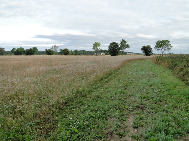
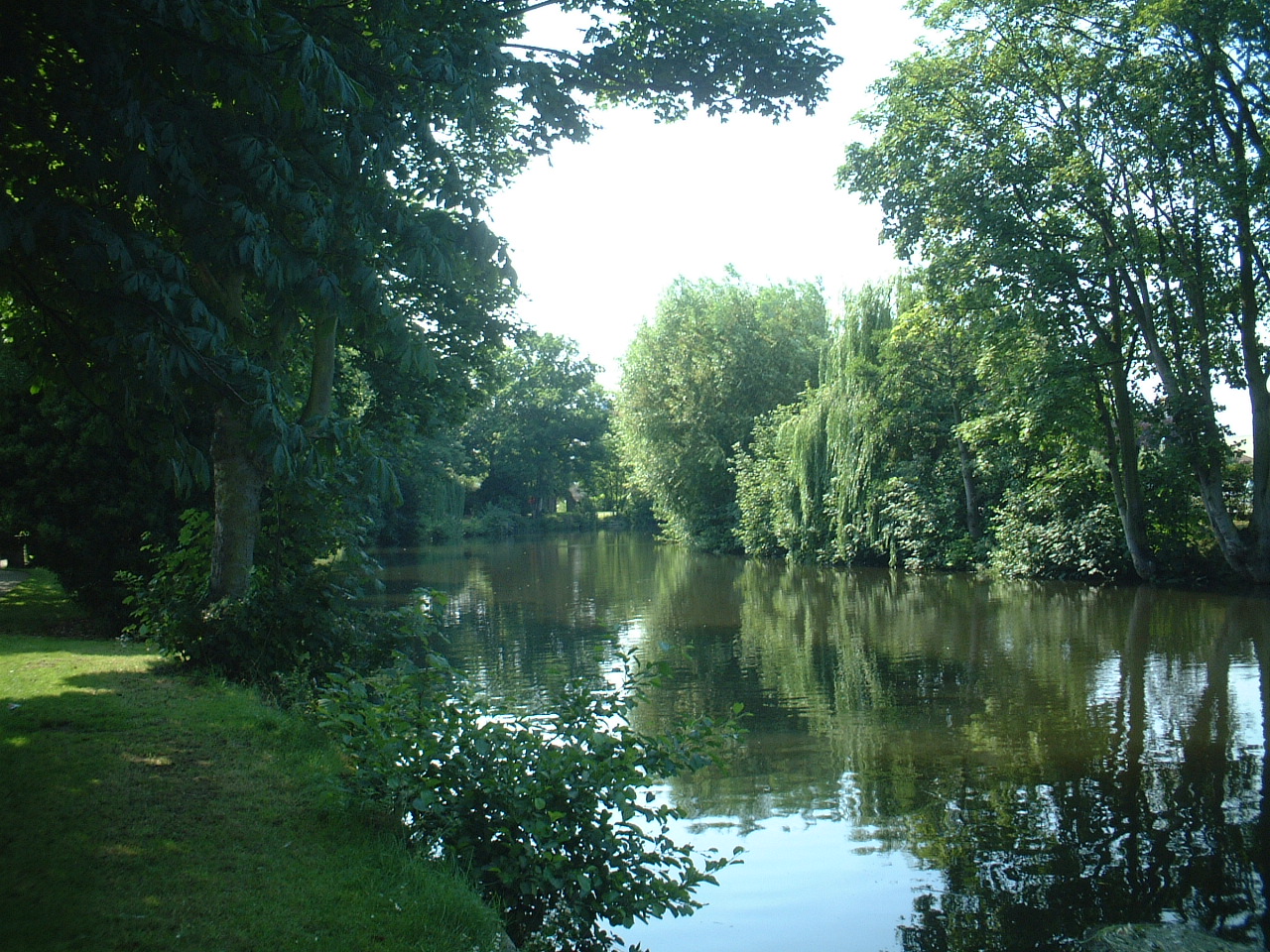
Old Wood is a small but significant woodland area located in the county of Norfolk, England. It is situated a few miles to the east of the village of Woodton and covers approximately 50 acres of land. The wood is part of a larger forested region known as the Norfolk Broads, which is renowned for its natural beauty and rich biodiversity.

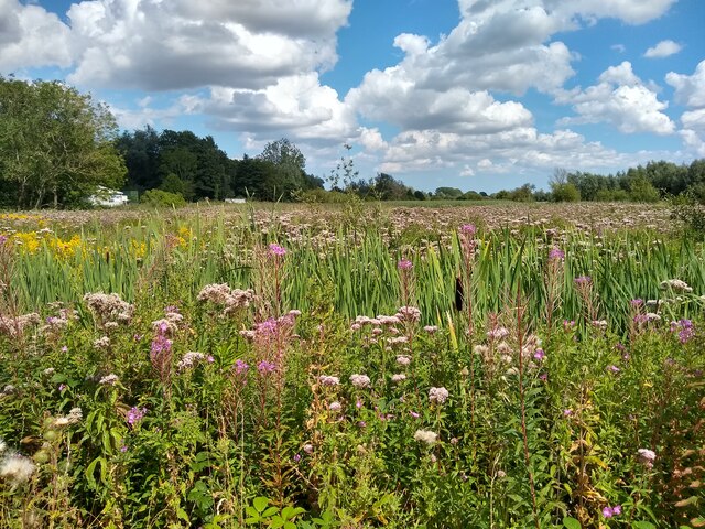
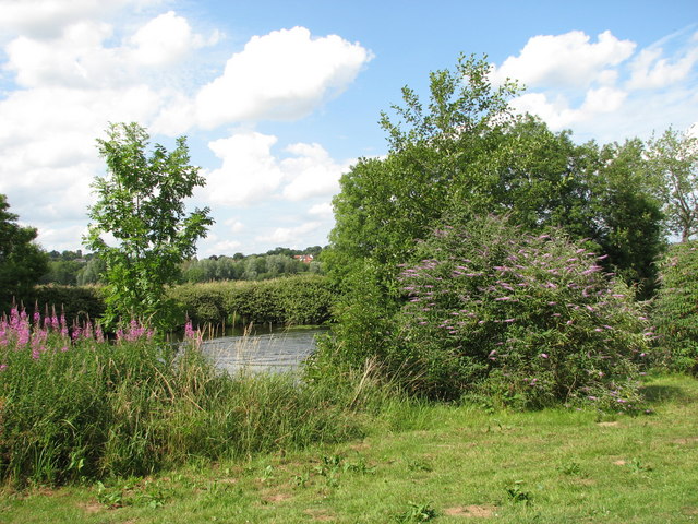
Old Wood is predominantly composed of ancient oak trees, which have been growing and thriving for centuries. These majestic trees create a dense canopy that provides shelter and habitat for a wide variety of wildlife species. The woodland floor is carpeted with a diverse range of flora, including bluebells, primroses, and wild garlic, which add to the charm and beauty of the wood.

The wood is crisscrossed by a network of footpaths and trails, making it a popular destination for walkers, nature enthusiasts, and photographers. These paths offer the opportunity to explore the wood's hidden corners, discover its enchanting glades, and observe its resident wildlife, which includes deer, squirrels, and numerous species of birds.

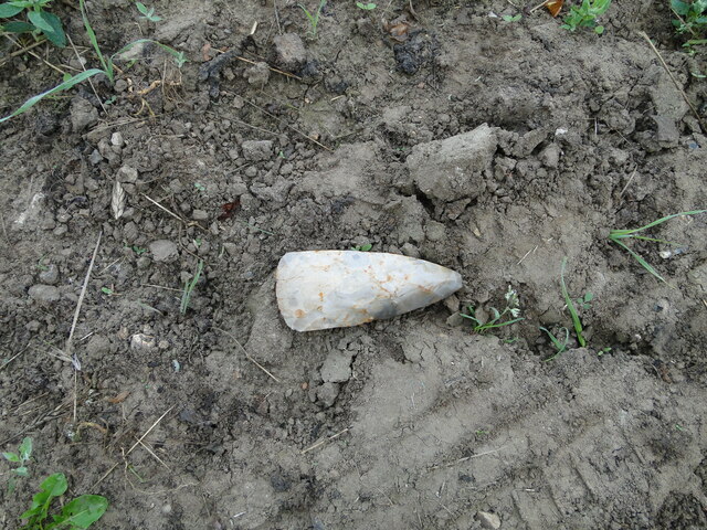
Old Wood is not only a haven for flora and fauna but also an important archaeological site. The wood has been found to contain remnants of ancient settlements and burial mounds, providing valuable insights into the region's history and human occupation.

In conclusion, Old Wood in Norfolk is a captivating and historically significant woodland area. Its ancient oaks, diverse flora, and abundant wildlife make it a must-visit destination for anyone seeking to connect with nature and explore Norfolk's natural heritage.

If you have any feedback on the listing, please let us know in the comments section below.
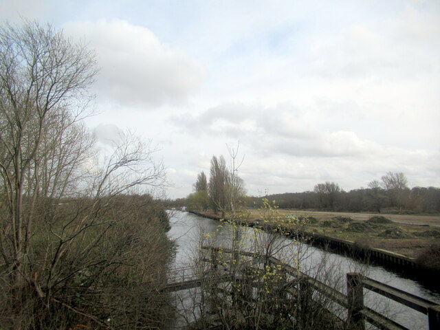
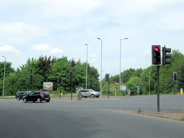
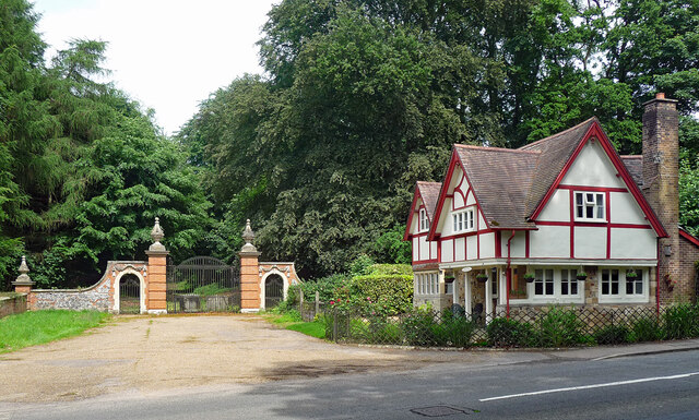
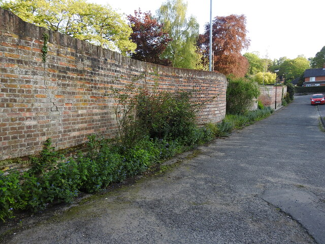
Old Wood Images

Images are sourced within 2km of 52.619334/1.3443706 or Grid Reference TG2607. Thanks to Geograph Open Source API. All images are credited.

Neolithic polished flint axe The axe, which measures 135mm x 60mm and about 6,000 years old, was found close to this spot in 1977.
The general location can be seen here <a title="https://www.geograph.org.uk/photo/6946224" href="https://www.geograph.org.uk/photo/6946224">Link</a>
Neolithic polished flint axe
The axe, which measures 135mm x 60mm and about 6,000 years old, was found close to this spot in 1977. The general location can be seen here Link
Field headland A polished neolithic flint axe was found in this field in 1977 <a href="https://www.geograph.org.uk/photo/6946221">TG2605 : Neolithic polished flint axe</a>
Field headland
A polished neolithic flint axe was found in this field in 1977 TG2605 : Neolithic polished flint axe
Norwich: Telegraph Lane East
Thorpe Marshes Nature Reserve
Yellow Iris, Thorpe Marshes Nature Reserve
War Grave of George William West RASC Driver George William West was the son of Edmund and Gertrude West, of Lakenham. He married Amy Elizabeth Newitt in 1939 and lived at Hill Cottages in Whitlingham. He served as a driver in the RASC, 593 Transport Coy, and in the Ammunition Column for 33rd Brigade. He was injured and returned home where he died 13th September 1943. He is buried in Thorpe (St Andrew) Church Cemetery extension. His memorial can be seen here <a title="https://www.geograph.org.uk/photo/6590004" href="https://www.geograph.org.uk/photo/6590004">Link</a>
War Grave of George William West RASC Driver
George William West was the son of Edmund and Gertrude West, of Lakenham. He married Amy Elizabeth Newitt in 1939 and lived at Hill Cottages in Whitlingham. He served as a driver in the RASC, 593 Transport Coy, and in the Ammunition Column for 33rd Brigade. He was injured and returned home where he died 13th September 1943. He is buried in Thorpe (St Andrew) Church Cemetery extension. His memorial can be seen here Link
The River Yare from Trowse bridge
The B1332 junction with the A146 approaching Norwich
Lodge and gates, Trowse Newton North Lodge, former entrance to Whitlingham Hall (<a href="https://www.geograph.org.uk/photo/4769135">TG2506 : Crown Point Hall</a>). By George Devey, c1864.
Lodge and gates, Trowse Newton
North Lodge, former entrance to Whitlingham Hall (TG2506 : Crown Point Hall). By George Devey, c1864.
Serpentine wall in Harvey Lane, Norwich The wall is all that remains of  the wall which once surrounded Thorpe Lodge, the address "Thorpe Lodge" is still used for the new building housing Broadland District Council and South Norfolk Council.
Serpentine wall in Harvey Lane, Norwich
The wall is all that remains of the wall which once surrounded Thorpe Lodge, the address "Thorpe Lodge" is still used for the new building housing Broadland District Council and South Norfolk Council.
The wall formerly surrounding Thorpe Lodge This is the Eden Close view of the wall, the other side of which is seen from Harvey Lane. <a href="https://www.geograph.org.uk/photo/7484247">TG2508 : Serpentine wall in Harvey Lane, Norwich</a>
The wall formerly surrounding Thorpe Lodge
This is the Eden Close view of the wall, the other side of which is seen from Harvey Lane. TG2508 : Serpentine wall in Harvey Lane, Norwich
Old Milepost by the A1042, Yarmouth Road, Thorpe St Andrew Cast iron post by the A1042, in parish of Thorpe St Andrew (Broadland District), 50yds East of bridge, against flint wall at rear of pavement, on North side of road. Erected by the Norwich & Yarmouth turnpike trust in the 19th century. An earlier photograph can be found here <a title="https://www.geograph.org.uk/photo/6096355" href="https://www.geograph.org.uk/photo/6096355">Link</a>.

Inscription reads:-
: YARMOUTH / 19 : : THORPE : : NORWICH / 3 :

Norfolk HER.
NHER Number: 56574 <span class="nowrap"><a title="https://www.heritagegateway.org.uk/Gateway/Results_Single.aspx?uid=MNF62993&resourceID=1002" rel="nofollow ugc noopener" href="https://www.heritagegateway.org.uk/Gateway/Results_Single.aspx?uid=MNF62993&resourceID=1002">Link</a><img style="margin-left:2px;" alt="External link" title="External link - shift click to open in new window" src="https://s1.geograph.org.uk/img/external.png" width="10" height="10"/></span>

Milestone Society National ID: NO_NGY03
Old Milepost by the A1042, Yarmouth Road, Thorpe St Andrew
Cast iron post by the A1042, in parish of Thorpe St Andrew (Broadland District), 50yds East of bridge, against flint wall at rear of pavement, on North side of road. Erected by the Norwich & Yarmouth turnpike trust in the 19th century. An earlier photograph can be found here Link. Inscription reads:- : YARMOUTH / 19 : : THORPE : : NORWICH / 3 : Norfolk HER. NHER Number: 56574 LinkExternal link Milestone Society National ID: NO_NGY03
B1332 junction with the A146
The White Horse, Trowse Newton
Farmland towards Oaks Farm
Barn, Oaks Farm
Barn, Oaks Farm
Farm road off Kirby Road
Kirby Road
Kirby Road
Show me another place!

Old Wood is located at Grid Ref: TG2607 (Lat: 52.619334, Lng: 1.3443706)

Administrative County: Norfolk

District: South Norfolk

Police Authority: Norfolk

What 3 Words

///circle.back.slug. Near Thorpe Hamlet, Norfolk

Nearby Locations

Old Wood Barn Wood

Related Wikis

Thorpe rail accident

The Thorpe rail accident occurred on 10 September 1874 when two trains were involved in a head-on collision at Thorpe St Andrew, Norfolk, England.The accident...

Thorpe Marshes

Thorpe Marshes is a 25-hectare (62-acre) nature reserve east of Norwich in Norfolk. It is managed by the Norfolk Wildlife Trust.This site has a lake called...

Whitlingham railway station

Whitlingham was a station in Whitlingham, Norfolk. The simple station has been demolished leaving no trace of its existence. However the footbridge is...

Whitlingham

Whitlingham is a small hamlet and former parish at the mouth of the River Wensum in Norfolk, England. It is located 3 miles (5 km) east of Norwich, on...

Whitlingham Marsh

Whitlingham Marsh is a 15.5-hectare (38-acre) Local Nature Reserve in Norwich in Norfolk. It is owned by South Norfolk District Council and managed by...

Norwich Rowing Club

Norwich Rowing Club is a rowing club on the River Yare based at Whitlingham Boathouses, Whitlingham Lane, Trowse, Norwich and is affiliated to British...

River Wensum

The River Wensum is a chalk river in Norfolk, England and a tributary of the River Yare, despite being the larger of the two rivers. The river is a biological...

Broadland

Broadland is a local government district in Norfolk, England, named after the Norfolk Broads. Its council is based at the Broadland Business Park on the...

Nearby Amenities

Located within 500m of 52.619334,1.3443706
Source: Landsat photo - shifted
Lat/Long: 52.6225755/1.3490407
Source: Landsat photo - shifted
Lat/Long: 52.6219702/1.3490755
Source: Landsat photo - shifted
Lat/Long: 52.6211624/1.3506115
Traffic Calming: hump
Lat/Long: 52.6209824/1.3401338
Parking
Access: yes
Fee: no
Parking: layby
Lat/Long: 52.6177647/1.3474774
Bench
Backrest: no
Material: wood
Seats: 2
Lat/Long: 52.621398/1.3504273
Bench
Backrest: no
Material: wood
Seats: 3
Lat/Long: 52.6233529/1.3476925
Bench
Backrest: yes
Material: wood
Seats: 3
Lat/Long: 52.623375/1.3476148
Phone
Check Date: 2021-08-22
Emergency: phone
Ref: 244B
Lat/Long: 52.6176452/1.3471093
Bench
Backrest: no
Material: wood
Seats: 3
Lat/Long: 52.6220072/1.3486443
Bench
Backrest: no
Colour: brown
Inscription: Remembering Roy
Material: wood
Lat/Long: 52.6208951/1.3422764
Bench
Backrest: no
Colour: brown
Material: wood
Lat/Long: 52.621039/1.3401469
Bench
Backrest: yes
Colour: brown
Inscription: Forever in our thoughts / Paul Thomas Le Fevre / 1933 - 2008 / A man of compassion, who was and is greatly loved and greatly missed / Paul was inspired by the beauty of Whitlingham both man and boy
Material: wood
Lat/Long: 52.622241/1.3483543
Bench
Backrest: yes
Colour: brown
Inscription: In Loving Memory of Sam (Carol) Patrick. Mother, Wife, Friend, Samaritan. / So very much missed by us all. / She adored Whitlingham and would have loved to have sat here and / watched the sunset over the castle. / 30/03 20/08
Material: wood
Lat/Long: 52.6225723/1.3483049
Bench
Backrest: no
Colour: brown
Material: wood
Lat/Long: 52.6229797/1.3457115
Bench
Backrest: yes
Colour: brown
Inscription: Janette Kim Laws / Forever Young And In Love / 17-06-1960 - 09-04-2011
Material: wood
Lat/Long: 52.6229911/1.3457502
Bench
Backrest: no
Material: wood
Lat/Long: 52.6193659/1.3482048
Traffic Calming: hump
Lat/Long: 52.6204929/1.3455228
Bicycle Parking
Bicycle Parking: stands
Capacity: 4
Covered: no
Lat/Long: 52.6207853/1.3512722
Traffic Calming: hump
Lat/Long: 52.6208713/1.3498253
Waste Basket
Waste: dog_excrement
Lat/Long: 52.6209209/1.3424548
Barrier: bollard
Bollard: fixed
Lat/Long: 52.6205952/1.3509807
Barrier: bollard
Bollard: fixed
Lat/Long: 52.6205844/1.3509052
Barrier: bollard
Bollard: fixed
Lat/Long: 52.6205898/1.3509494
Tree: yes
Lat/Long: 52.6206063/1.3510293
Barrier: bollard
Bollard: fixed
Lat/Long: 52.6205707/1.3508241
Barrier: bollard
Bollard: fixed
Lat/Long: 52.6205749/1.3508675
The data included in this document is from www.openstreetmap.org. The data is made available under ODbL.

Have you been to Old Wood?

Leave your review of Old Wood below (or comments, questions and feedback).