Cubitt's Hill Wood
Wood, Forest in Norfolk South Norfolk
England
Cubitt's Hill Wood
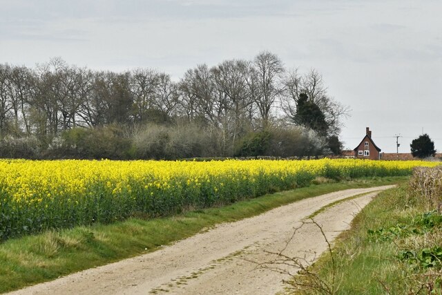
Cubitt's Hill Wood, located in Norfolk, England, is a breathtaking woodland area that covers a vast expanse of approximately 150 acres. This enchanting forest is nestled in the heart of the Norfolk Broads, an area renowned for its natural beauty and diverse ecosystems. The wood is named after the Cubitt family, who were prominent landowners in the region during the 19th century.
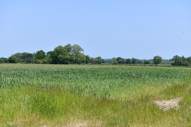
Cubitt's Hill Wood boasts a rich variety of flora and fauna, providing a haven for wildlife and an idyllic setting for nature enthusiasts. The woodland is predominantly composed of native broadleaf trees, including oak, beech, and birch, which create a dense canopy overhead. Beneath the towering trees, an array of wildflowers, ferns, and mosses carpet the forest floor, adding to its mystical charm.
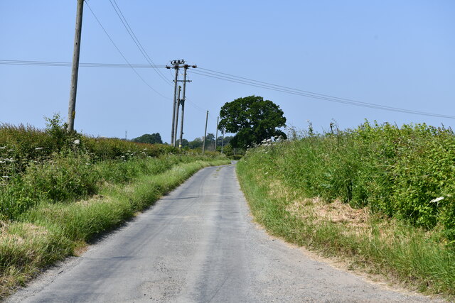
The wood is crisscrossed with a network of well-maintained footpaths, allowing visitors to explore its hidden treasures and immerse themselves in its tranquility. These pathways offer stunning panoramic views of the surrounding landscape, including the picturesque Norfolk countryside and the winding waterways of the Broads.
The peaceful ambiance of Cubitt's Hill Wood makes it an ideal destination for birdwatching, with a plethora of avian species calling the forest home. From songbirds like robins and blackbirds to raptors such as buzzards and kestrels, bird enthusiasts are sure to be captivated by the diverse range of feathered creatures that inhabit the wood.
Cubitt's Hill Wood is not only a haven for wildlife but also an important heritage site, with remnants of ancient settlements and archaeological finds scattered throughout. The wood provides a glimpse into the region's rich history, offering visitors a fascinating insight into the past.
Overall, Cubitt's Hill Wood is a hidden gem within the Norfolk countryside, offering a tranquil escape and a chance to connect with nature in all its glory.
If you have any feedback on the listing, please let us know in the comments section below.
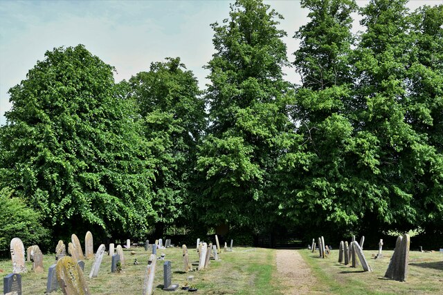
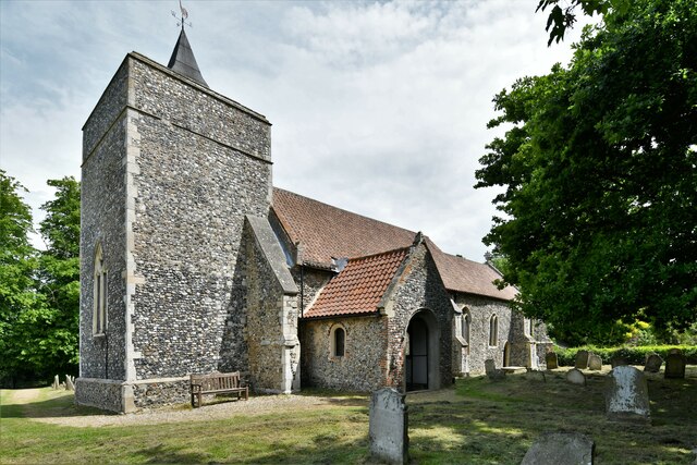
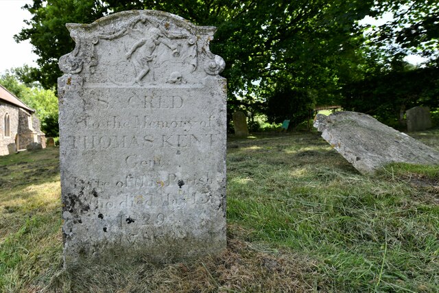
Cubitt's Hill Wood Images
Images are sourced within 2km of 52.505997/1.2624997 or Grid Reference TM2194. Thanks to Geograph Open Source API. All images are credited.


Cubitt's Hill Wood is located at Grid Ref: TM2194 (Lat: 52.505997, Lng: 1.2624997)
Administrative County: Norfolk
District: South Norfolk
Police Authority: Norfolk
What 3 Words
///headlines.daily.could. Near Long Stratton, Norfolk
Related Wikis

Tasburgh
Tasburgh ( TAYZ-bər-ə) is a civil parish and a village in the south of Norfolk, England, located approximately 8 miles south of Norwich. It lies on the...

A140 road
The A140 is an 'A-class' road in Norfolk and Suffolk, East Anglia, England partly following the route of the Roman Pye Road. It runs from the A14 near...

Hempnall
Hempnall is a village and civil parish in the English county of Norfolk. It covers an area of 14.82 km2 (5.72 sq mi) and had a population of 1,310 in 522...

Morningthorpe
Morningthorpe (sometimes Morning Thorpe) is a village and former civil parish, now in the parish of Morningthorpe and Fritton in the South Norfolk district...
Nearby Amenities
Located within 500m of 52.505997,1.2624997Have you been to Cubitt's Hill Wood?
Leave your review of Cubitt's Hill Wood below (or comments, questions and feedback).