Alder Carr Plantation
Wood, Forest in Norfolk South Norfolk
England
Alder Carr Plantation
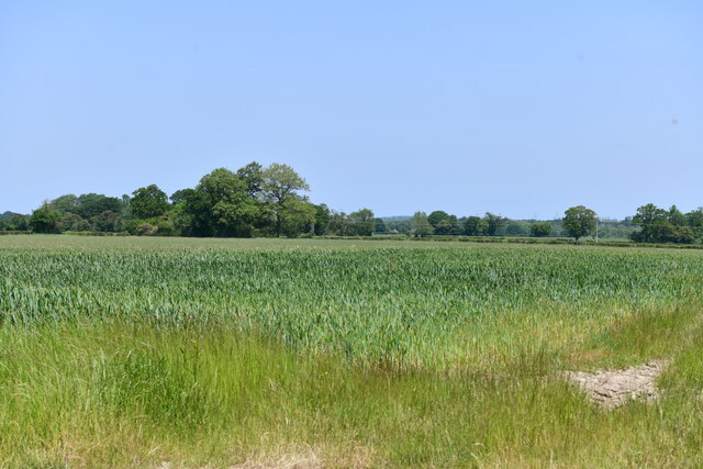
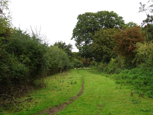
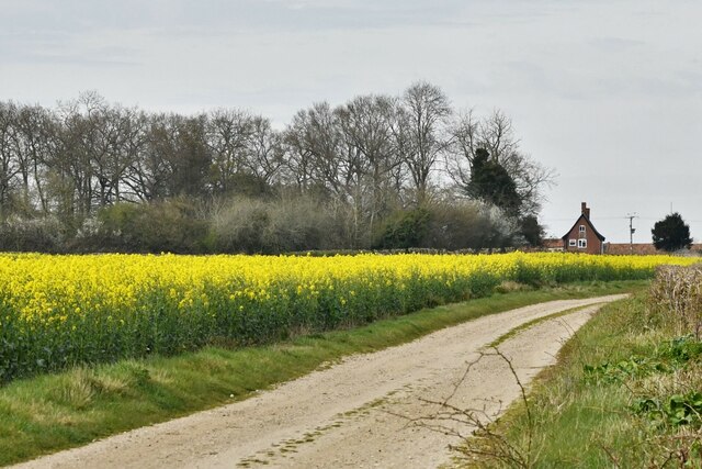
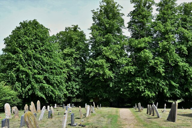
Alder Carr Plantation is a picturesque woodland located in Norfolk, England. Situated in the heart of the Norfolk Broads, this plantation is known for its dense growth of alder trees, which gives it its name. Spanning over a vast area, Alder Carr Plantation exhibits a rich biodiversity and serves as an important habitat for various plant and animal species.
The plantation is characterized by its lush greenery and dense vegetation, creating a tranquil and serene atmosphere. The alder trees dominate the landscape, with their slender trunks and mesmerizing green foliage. These trees thrive in the wetland conditions, as the plantation is situated near the banks of the River Yare.
The woodland is home to a diverse range of wildlife. Bird enthusiasts will be delighted to spot species such as woodpeckers, kingfishers, and herons, which are known to nest in the plantation. The forest floor is also teeming with smaller creatures like voles and shrews.
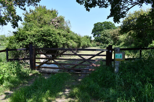
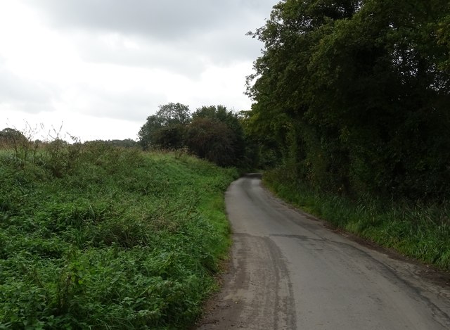
Alder Carr Plantation offers various recreational activities for visitors to enjoy. There are designated walking trails that wind through the woodland, allowing visitors to explore the natural beauty at their own pace. The plantation also features picnic areas, providing a perfect spot for families and friends to relax and enjoy a meal amidst nature.
The conservation efforts in Alder Carr Plantation are commendable, as the area is actively managed to preserve its unique ecosystem. Regular maintenance helps maintain the health of the alder trees and promotes the growth of other native flora. The plantation also serves as an educational site, with guided tours and workshops organized to raise awareness about its importance in the local ecosystem.
If you have any feedback on the listing, please let us know in the comments section below.
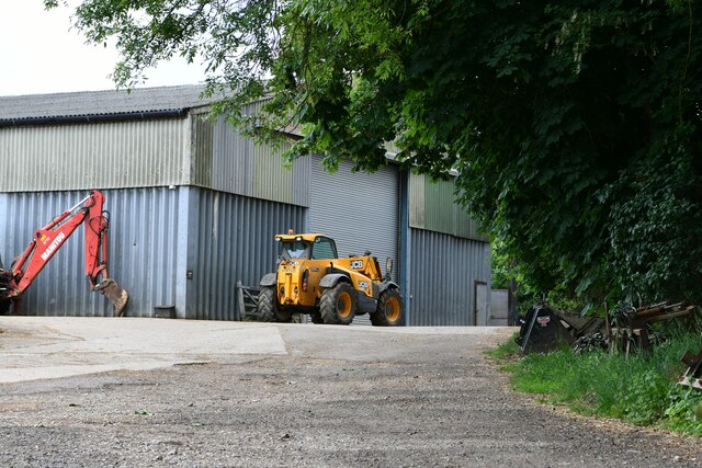
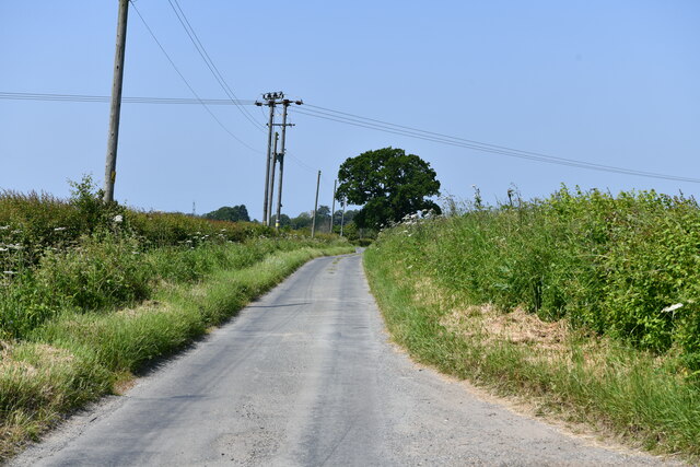
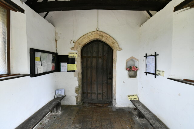
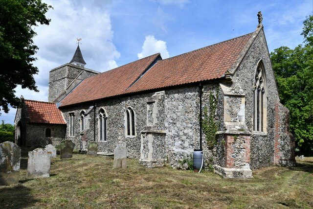
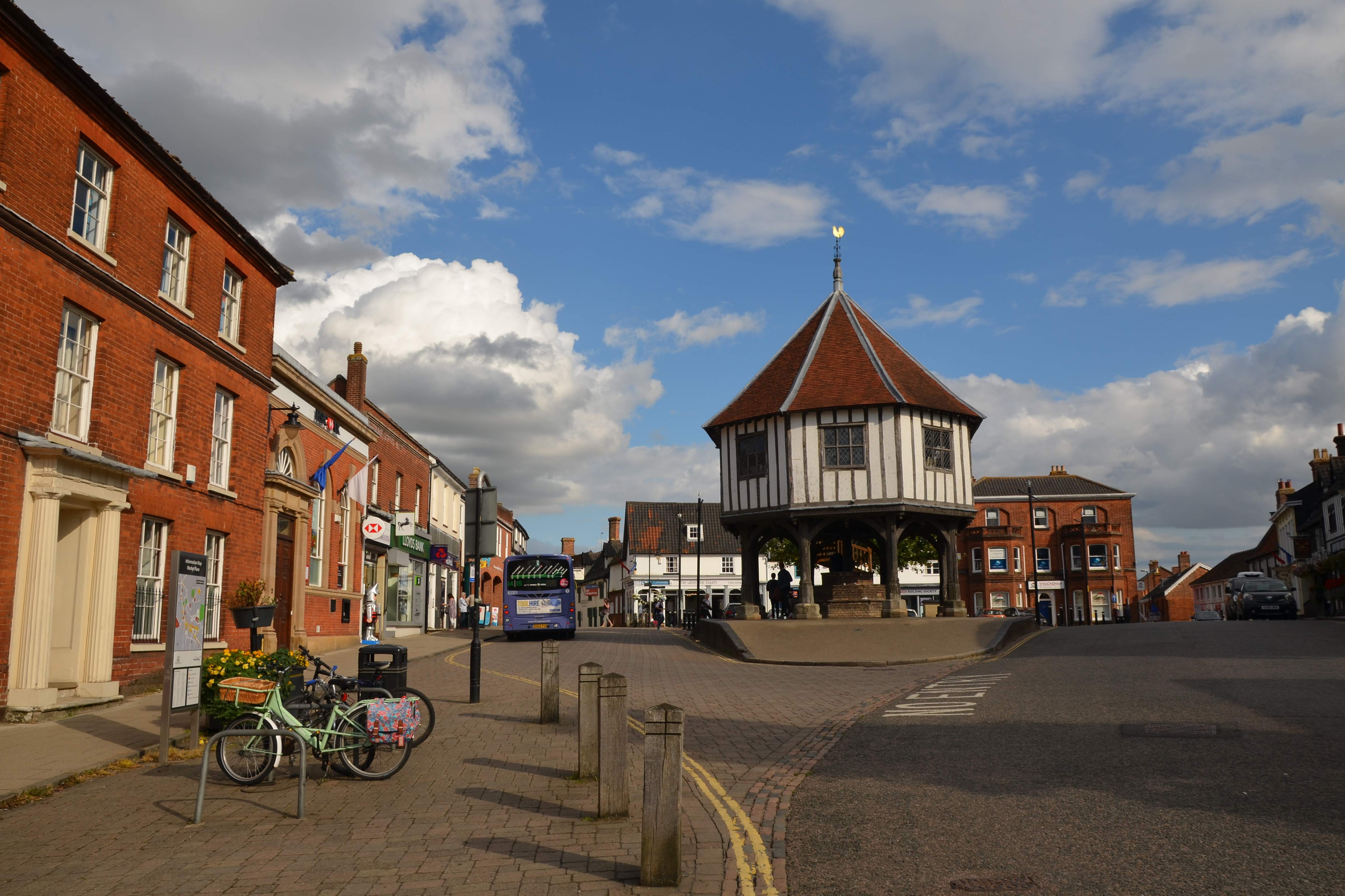
Alder Carr Plantation Images
Images are sourced within 2km of 52.505911/1.2574379 or Grid Reference TM2194. Thanks to Geograph Open Source API. All images are credited.
Alder Carr Plantation is located at Grid Ref: TM2194 (Lat: 52.505911, Lng: 1.2574379)
Administrative County: Norfolk
District: South Norfolk
Police Authority: Norfolk
What 3 Words
///reporting.securing.bypasses. Near Long Stratton, Norfolk
Related Wikis

Tasburgh
Tasburgh ( TAYZ-bər-ə) is a civil parish and a village in the south of Norfolk, England, located approximately 8 miles south of Norwich. It lies on the...

A140 road
The A140 is an 'A-class' road in Norfolk and Suffolk, East Anglia, England partly following the route of the Roman Pye Road. It runs from the A14 near...
South Norfolk
South Norfolk is a local government district in Norfolk, England. The largest town is Wymondham, and the district also includes the towns of Costessey...

Hempnall
Hempnall is a village and civil parish in the English county of Norfolk. It covers an area of 14.82 km2 (5.72 sq mi) and had a population of 1,310 in 522...

Long Stratton
Long Stratton is a town and civil parish in Norfolk, England. It historically consisted of two villages; the larger, Stratton St. Mary, is to the south...

Morningthorpe
Morningthorpe (sometimes Morning Thorpe) is a village and former civil parish, now in the parish of Morningthorpe and Fritton in the South Norfolk district...
Long Stratton High School
Long Stratton High School is a secondary school located in the town of Long Stratton in the English county of Norfolk. It educates children from ages...

Newton Flotman
Newton Flotman, meaning new farm or settlement, is a village and civil parish in the English county of Norfolk, lies about 7 miles (11 km) south of Norwich...
Nearby Amenities
Located within 500m of 52.505911,1.2574379Have you been to Alder Carr Plantation?
Leave your review of Alder Carr Plantation below (or comments, questions and feedback).