Gravelpit Plantation
Wood, Forest in Norfolk South Norfolk
England
Gravelpit Plantation
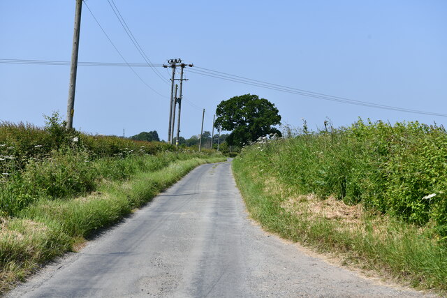
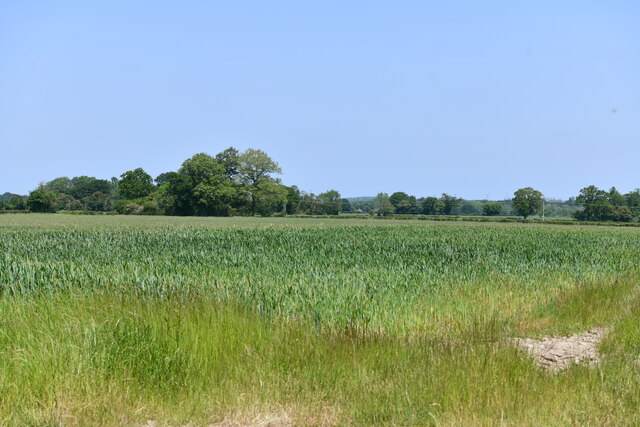
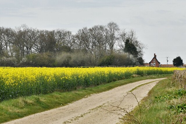
Gravelpit Plantation, located in Norfolk, England, is a picturesque woodland area known for its natural beauty and rich history. Nestled amidst the Norfolk Broads, this enchanting woodland covers a vast area and is a popular destination for nature enthusiasts and history buffs alike.
The plantation boasts a diverse range of tree species, including oak, beech, and pine, creating a captivating and varied landscape. The dense forest provides a haven for numerous wildlife species, making it an ideal spot for birdwatching and wildlife photography.
Gravelpit Plantation's history dates back centuries, with evidence of human habitation found in the area since the Bronze Age. The plantation's name derives from the gravel pits that were once quarried here, providing essential materials for local construction projects.
Visitors to Gravelpit Plantation can explore its extensive network of walking trails, allowing them to immerse themselves in the tranquil surroundings. The paths wind through ancient woodlands, revealing breathtaking vistas and hidden nooks. Along the way, you may stumble upon remnants of old structures, such as the remains of charcoal kilns, which offer a glimpse into the plantation's industrial past.
The plantation is also home to a variety of recreational activities, including cycling, horse riding, and picnicking. Its idyllic setting makes it an ideal spot for families and outdoor enthusiasts to relax and enjoy the beauty of nature.
Gravelpit Plantation, Norfolk, is a true gem, offering a harmonious blend of natural splendor and historical significance. Whether you visit for a leisurely stroll, a birdwatching expedition, or to delve into the area's past, this woodland paradise is sure to captivate and inspire all who venture within its bounds.
If you have any feedback on the listing, please let us know in the comments section below.
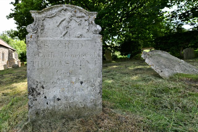
Gravelpit Plantation Images
Images are sourced within 2km of 52.503803/1.2634572 or Grid Reference TM2194. Thanks to Geograph Open Source API. All images are credited.


Gravelpit Plantation is located at Grid Ref: TM2194 (Lat: 52.503803, Lng: 1.2634572)
Administrative County: Norfolk
District: South Norfolk
Police Authority: Norfolk
What 3 Words
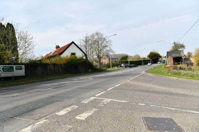
///factored.pricing.spurring. Near Long Stratton, Norfolk
Related Wikis

Tasburgh
Tasburgh ( TAYZ-bər-ə) is a civil parish and a village in the south of Norfolk, England, located approximately 8 miles south of Norwich. It lies on the...

A140 road
The A140 is an 'A-class' road in Norfolk and Suffolk, East Anglia, England partly following the route of the Roman Pye Road. It runs from the A14 near...

Hempnall
Hempnall is a village and civil parish in the English county of Norfolk. It covers an area of 14.82 km2 (5.72 sq mi) and had a population of 1,310 in 522...

Morningthorpe
Morningthorpe (sometimes Morning Thorpe) is a village and former civil parish, now in the parish of Morningthorpe and Fritton in the South Norfolk district...

Fritton Common, Morningthorpe
Fritton Common, Morningthorpe is a 20.5-hectare (51-acre) biological Site of Special Scientific Interest east of Long Stratton in Norfolk.This damp acidic...
South Norfolk
South Norfolk is a local government district in Norfolk, England. The largest town is Wymondham, and the district also includes the towns of Costessey...

Long Stratton
Long Stratton is a town and civil parish in Norfolk, England. It historically consisted of two villages; the larger, Stratton St. Mary, is to the south...
Long Stratton High School
Long Stratton High School is a secondary school located in the town of Long Stratton in the English county of Norfolk. It educates children from ages...
Nearby Amenities
Located within 500m of 52.503803,1.2634572Have you been to Gravelpit Plantation?
Leave your review of Gravelpit Plantation below (or comments, questions and feedback).