Ileden Wood

Wood, Forest in Kent Canterbury

England

Ileden Wood

Flint Cottage Barham is a village in the Elham Valley about 6 miles SE of Canterbury.
Wikipedia: <span class="nowrap"><a title="https://en.wikipedia.org/wiki/Barham,_Kent" rel="nofollow ugc noopener" href="https://en.wikipedia.org/wiki/Barham,_Kent">Link</a><img style="margin-left:2px;" alt="External link" title="External link - shift click to open in new window" src="https://s1.geograph.org.uk/img/external.png" width="10" height="10"/></span>
Flint Cottage Credit: N Chadwick

Ileden Wood is a picturesque woodland located in Kent, England. Situated near the village of Ileden, this woodland is known for its natural beauty and diverse range of flora and fauna. Covering an area of approximately 100 acres, Ileden Wood is a popular destination for nature enthusiasts and walkers.

The woodland is characterized by its dense canopy of trees, which includes a mix of oak, beech, ash, and birch. These towering trees provide a habitat for a variety of wildlife, including deer, foxes, badgers, and a wide range of bird species. Visitors to Ileden Wood can often spot these creatures roaming freely in their natural habitat.

The woodland boasts several well-maintained walking trails, allowing visitors to explore its serene surroundings. These trails wind their way through the woods, offering glimpses of tranquil ponds, meandering streams, and vibrant wildflowers. In the spring and summer months, the woodland comes alive with a riot of colors as the flowers bloom and the trees are in full leaf.

One of the highlights of Ileden Wood is its ancient woodland status, which means that it has existed continuously since at least 1600 AD. This designation ensures that the woodland is protected and maintained for future generations to enjoy.

Ileden Wood provides a peaceful escape from the hustle and bustle of everyday life, offering visitors a chance to reconnect with nature and appreciate the beauty of the natural world. Whether you're an avid birdwatcher, a nature lover, or simply seeking a tranquil retreat, Ileden Wood is a must-visit destination in Kent.

If you have any feedback on the listing, please let us know in the comments section below.

Ileden Wood Images

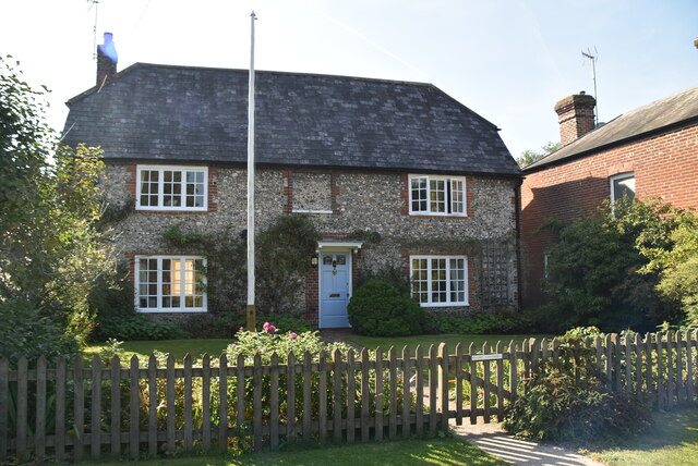
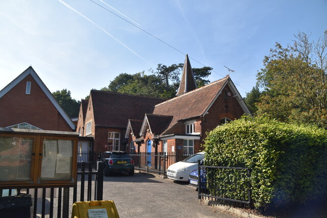
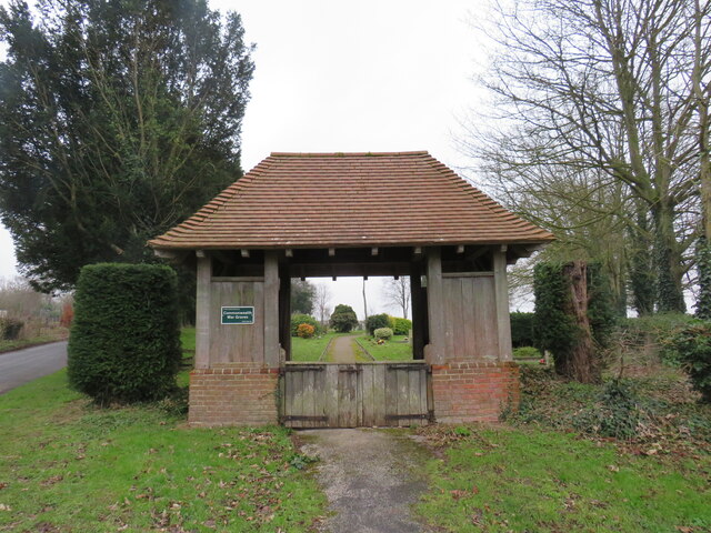
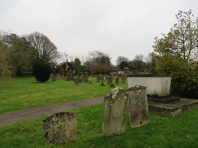
Images are sourced within 2km of 51.221138/1.1718141 or Grid Reference TR2151. Thanks to Geograph Open Source API. All images are credited.

Flint Cottage Barham is a village in the Elham Valley about 6 miles SE of Canterbury.
Wikipedia: <span class="nowrap"><a title="https://en.wikipedia.org/wiki/Barham,_Kent" rel="nofollow ugc noopener" href="https://en.wikipedia.org/wiki/Barham,_Kent">Link</a><img style="margin-left:2px;" alt="External link" title="External link - shift click to open in new window" src="https://s1.geograph.org.uk/img/external.png" width="10" height="10"/></span>
Flint Cottage
Barham is a village in the Elham Valley about 6 miles SE of Canterbury. Wikipedia: LinkExternal link
Barham Primary School Barham is a village in the Elham Valley about 6 miles SE of Canterbury.
Wikipedia: <span class="nowrap"><a title="https://en.wikipedia.org/wiki/Barham,_Kent" rel="nofollow ugc noopener" href="https://en.wikipedia.org/wiki/Barham,_Kent">Link</a><img style="margin-left:2px;" alt="External link" title="External link - shift click to open in new window" src="https://s1.geograph.org.uk/img/external.png" width="10" height="10"/></span>
Barham Primary School
Barham is a village in the Elham Valley about 6 miles SE of Canterbury. Wikipedia: LinkExternal link
Lychgate to Graveyard, Barham
Graveyard, St John the Baptist's church, Barham
The former Post Office, Valley Road Compared with <a href="https://www.geograph.org.uk/photo/4116938">TR2049 : Progress of the alterations to the Old Post Office, Valley Road</a>, all building work appears to have been completed. A post office has been incorporated into <a href="https://www.geograph.org.uk/photo/4629513">TR2049 : Alterations to Barham Village Hall, Valley Road</a>; it remains to be seen whether or not the original building becomes known as The Old Post Office.
The former Post Office, Valley Road
Compared with TR2049 : Progress of the alterations to the Old Post Office, Valley Road, all building work appears to have been completed. A post office has been incorporated into TR2049 : Alterations to Barham Village Hall, Valley Road; it remains to be seen whether or not the original building becomes known as The Old Post Office.
The former Post Office, Valley Road Compared with <a href="https://www.geograph.org.uk/photo/4014827">TR2049 : Alterations to The Old Post Office, Valley Road</a>, all building work appears to have been completed. A post office has been incorporated into <a href="https://www.geograph.org.uk/photo/4629513">TR2049 : Alterations to Barham Village Hall, Valley Road</a>; it remains to be seen whether or not the original building becomes known as The Old Post Office.
The former Post Office, Valley Road
Compared with TR2049 : Alterations to The Old Post Office, Valley Road, all building work appears to have been completed. A post office has been incorporated into TR2049 : Alterations to Barham Village Hall, Valley Road; it remains to be seen whether or not the original building becomes known as The Old Post Office.
The Street near St John the Baptist's Church in Barham Looking north-westward.
[The name of the road is apparently 'The St'. I have checked both Google maps and a local business address and this seems to confirm this. Anyone living locally know better?]
The Street near St John the Baptist's Church in Barham
Looking north-westward. [The name of the road is apparently 'The St'. I have checked both Google maps and a local business address and this seems to confirm this. Anyone living locally know better?]
A2 The A2 runs 72 miles from Borough <a href="https://www.geograph.org.uk/photo/5739288">TQ3279 : Great Dover St</a> in London to Dover, through Kent, formerly known as the Dover Road or Great Dover Road. It follows roughly the course of the Roman Watling Street and historically it has always been an important road because it connects London with Canterbury and the port of Dover. In the 18th and 19th century it was turnpiked and given its present designation in the 1920s.
A2
The A2 runs 72 miles from Borough TQ3279 : Great Dover St in London to Dover, through Kent, formerly known as the Dover Road or Great Dover Road. It follows roughly the course of the Roman Watling Street and historically it has always been an important road because it connects London with Canterbury and the port of Dover. In the 18th and 19th century it was turnpiked and given its present designation in the 1920s.
View from Mill Lane, Barham In the distance is the church of St. John the Baptist.
View from Mill Lane, Barham
In the distance is the church of St. John the Baptist.
Roadworks, A260 They were due to start on 7 January 2019 and to last for three weeks.
Roadworks, A260
They were due to start on 7 January 2019 and to last for three weeks.
Roadworks, A260 They were due to start on 7 January 2019 and to last for three weeks. 

This image of the <a href="https://www.geograph.org.uk/photo/6021313">TR2149 : Roadworks, A260</a> is just before you reach the junction, where the B6646 takes you to Wingham.
Roadworks, A260
They were due to start on 7 January 2019 and to last for three weeks. This image of the TR2149 : Roadworks, A260 is just before you reach the junction, where the B6646 takes you to Wingham.
Approach to a new roundabout These were the <a href="https://www.geograph.org.uk/photo/6021313">TR2149 : Roadworks, A260</a> that were due to start on 7 January 2019 and to last for three weeks but in fact the roadworks were not completely finished until around the 17 May. Motorists had to contend with aggravating delays caused by the installation of three-way traffic lights and were asked not to abuse the workforce (seen on an information road sign).
Approach to a new roundabout
These were the TR2149 : Roadworks, A260 that were due to start on 7 January 2019 and to last for three weeks but in fact the roadworks were not completely finished until around the 17 May. Motorists had to contend with aggravating delays caused by the installation of three-way traffic lights and were asked not to abuse the workforce (seen on an information road sign).
Matlock Close This was Matlock Close, when it was a <a href="https://www.geograph.org.uk/photo/6911768">TR2352 : Temporary access to Fife Way</a> in July 2021. The development is part of the Aylesham Garden Village project <span class="nowrap"><a title="http://www.ayleshamgardenvillage.co.uk/" rel="nofollow ugc noopener" href="http://www.ayleshamgardenvillage.co.uk/">Link</a><img style="margin-left:2px;" alt="External link" title="External link - shift click to open in new window" src="https://s1.geograph.org.uk/img/external.png" width="10" height="10"/></span>
Matlock Close
This was Matlock Close, when it was a TR2352 : Temporary access to Fife Way in July 2021. The development is part of the Aylesham Garden Village project LinkExternal link
Matlock Close This view of <a href="https://www.geograph.org.uk/photo/7051747">TR2352 : Matlock Close</a> shows the house immediately ahead, at the bend in the road. The development is part of the Aylesham Garden Village project <span class="nowrap"><a title="http://www.ayleshamgardenvillage.co.uk/" rel="nofollow ugc noopener" href="http://www.ayleshamgardenvillage.co.uk/">Link</a><img style="margin-left:2px;" alt="External link" title="External link - shift click to open in new window" src="https://s1.geograph.org.uk/img/external.png" width="10" height="10"/></span>
Matlock Close
This view of TR2352 : Matlock Close shows the house immediately ahead, at the bend in the road. The development is part of the Aylesham Garden Village project LinkExternal link
Matlock Close This view of <a href="https://www.geograph.org.uk/photo/7052554">TR2352 : Matlock Close</a> shows the houses, on the right, beyond the bend in the road. The development is part of the Aylesham Garden Village project <span class="nowrap"><a title="http://www.ayleshamgardenvillage.co.uk/" rel="nofollow ugc noopener" href="http://www.ayleshamgardenvillage.co.uk/">Link</a><img style="margin-left:2px;" alt="External link" title="External link - shift click to open in new window" src="https://s1.geograph.org.uk/img/external.png" width="10" height="10"/></span>
Matlock Close
This view of TR2352 : Matlock Close shows the houses, on the right, beyond the bend in the road. The development is part of the Aylesham Garden Village project LinkExternal link
Matlock Close The view of <a href="https://www.geograph.org.uk/photo/7053051">TR2352 : Matlock Close</a> shows that the nearest house, on the right, is the same house on the left. The development is part of the Aylesham Garden Village project <span class="nowrap"><a title="http://www.ayleshamgardenvillage.co.uk/" rel="nofollow ugc noopener" href="http://www.ayleshamgardenvillage.co.uk/">Link</a><img style="margin-left:2px;" alt="External link" title="External link - shift click to open in new window" src="https://s1.geograph.org.uk/img/external.png" width="10" height="10"/></span>
Matlock Close
The view of TR2352 : Matlock Close shows that the nearest house, on the right, is the same house on the left. The development is part of the Aylesham Garden Village project LinkExternal link
Winder Place This was a similar view of <a href="https://www.geograph.org.uk/photo/6913073">TR2352 : Winder Place</a> in July 2021. The development is part of the Aylesham Garden Village project <span class="nowrap"><a title="http://www.ayleshamgardenvillage.co.uk/" rel="nofollow ugc noopener" href="http://www.ayleshamgardenvillage.co.uk/">Link</a><img style="margin-left:2px;" alt="External link" title="External link - shift click to open in new window" src="https://s1.geograph.org.uk/img/external.png" width="10" height="10"/></span>
Winder Place
This was a similar view of TR2352 : Winder Place in July 2021. The development is part of the Aylesham Garden Village project LinkExternal link
Winder Place A similar view of <a href="https://www.geograph.org.uk/photo/7054359">TR2352 : Winder Place</a>, but taken from further away. The development is part of the Aylesham Garden Village project <span class="nowrap"><a title="http://www.ayleshamgardenvillage.co.uk/" rel="nofollow ugc noopener" href="http://www.ayleshamgardenvillage.co.uk/">Link</a><img style="margin-left:2px;" alt="External link" title="External link - shift click to open in new window" src="https://s1.geograph.org.uk/img/external.png" width="10" height="10"/></span>
Winder Place
A similar view of TR2352 : Winder Place, but taken from further away. The development is part of the Aylesham Garden Village project LinkExternal link
Show me another place!

Ileden Wood is located at Grid Ref: TR2151 (Lat: 51.221138, Lng: 1.1718141)

Administrative County: Kent

District: Canterbury

Police Authority: Kent

What 3 Words

///saying.monorail.users. Near Barham, Kent

Nearby Locations

Ileden Wood

Related Wikis

Black Mill, Barham

Black Mill or Barham Downs Mill was a smock mill at Barham, Kent, England which was accidentally burnt down in 1970 while under restoration. == History... ==

Ileden and Oxenden Woods

Ileden and Oxenden Woods is an 86.4-hectare (213-acre) biological Site of Special Scientific Interest (SSSI) south-east of Canterbury in Kent. It is in...

Womenswold

Womenswold is a village and civil parish centred 7 miles (11 km) south-east of Canterbury, Kent, England, 1 mile to the east of the A2 road. The parish...

Kingston, Kent

Kingston is a village and civil parish between Canterbury and Dover in Kent, South East England. The parish contains the hamlet of Marley. == History... ==

Nearby Amenities

Located within 500m of 51.221138,1.1718141
The data included in this document is from www.openstreetmap.org. The data is made available under ODbL.

Have you been to Ileden Wood?

Leave your review of Ileden Wood below (or comments, questions and feedback).