The Rookery
Wood, Forest in Norfolk North Norfolk
England
The Rookery

The Rookery in Norfolk is a picturesque wood nestled amidst the serene landscape of Norfolk, England. Spread across a vast area, this forest is a haven for nature enthusiasts and offers a plethora of recreational activities for visitors.
Covered in a lush canopy of trees, The Rookery is home to a diverse range of flora and fauna. Towering oak, beech, and birch trees create a mesmerizing ambiance, providing shade and shelter to numerous species of birds and wildlife. From woodpeckers to owls, the forest resonates with the melodious calls of its feathered inhabitants.
Traversing the well-maintained walking trails, visitors can explore the enchanting woodland at their own pace. The paths wind through the forest, offering glimpses of wildflowers, ferns, and moss-covered rocks. The Rookery also boasts a beautiful pond, where visitors can observe various aquatic species and enjoy the tranquility of the surroundings.
For those seeking adventure, The Rookery provides opportunities for camping, hiking, and birdwatching. The forest is equipped with designated camping areas, complete with basic amenities, allowing visitors to spend a night under the stars. Hiking trails of varying difficulty levels cater to both beginners and experienced hikers, while birdwatching enthusiasts can spot rare species in their natural habitat.
Located away from the hustle and bustle of urban life, The Rookery offers a peaceful retreat where visitors can immerse themselves in the beauty of nature. Whether it's a leisurely stroll, an adrenaline-filled adventure, or a quiet picnic, this enchanting forest is sure to captivate the hearts of all who visit.
If you have any feedback on the listing, please let us know in the comments section below.
The Rookery Images
Images are sourced within 2km of 52.892617/1.2924797 or Grid Reference TG2137. Thanks to Geograph Open Source API. All images are credited.


The Rookery is located at Grid Ref: TG2137 (Lat: 52.892617, Lng: 1.2924797)
Administrative County: Norfolk
District: North Norfolk
Police Authority: Norfolk
What 3 Words
///clays.grew.mere. Near Overstrand, Norfolk
Nearby Locations
Related Wikis
Roughton, Norfolk
Roughton is a village and a civil parish in the English county of Norfolk. The village is 3.7 miles (6.0 km) south of Cromer, 19.6 miles (31.5 km) north...

Metton, Norfolk
Metton is a small village and former civil parish, now in the parish of Sustead, in the North Norfolk district, in the county of Norfolk, England. The...
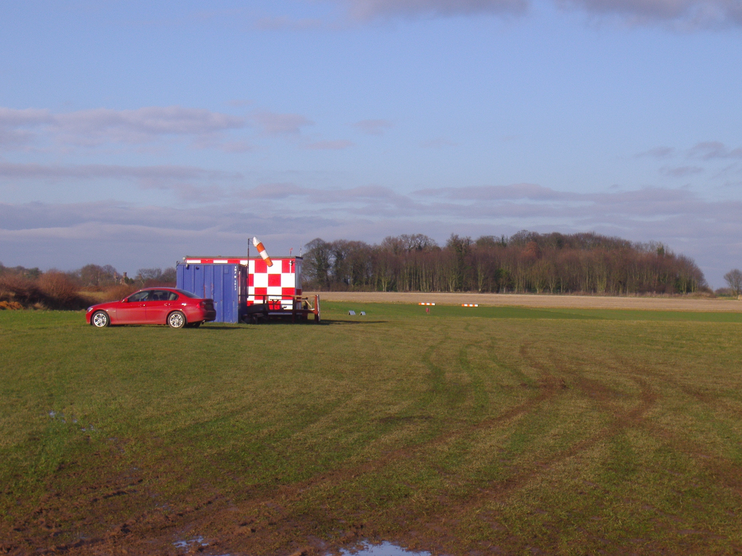
Northrepps Aerodrome
Northrepps Aerodrome is a privately owned airfield south west of the village of Northrepps, North Norfolk, England approximately 3 mi (4.8 km) south-south...

Felbrigg
Felbrigg is a village and civil parish in the English county of Norfolk. The village is 1.7 miles (2.7 km) south-west of Cromer and 20 miles (32 km) north...

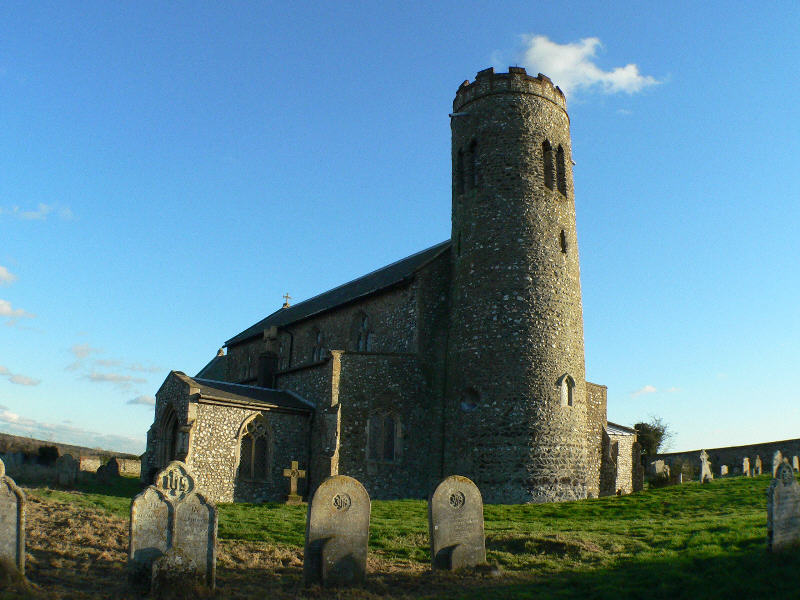
St Margaret's Church, Felbrigg
St Margaret's Church is a Grade II* listed parish church in the Church of England Diocese of Norwich in Felbrigg, Norfolk. == History == The church is...

Felbrigg Hall
Felbrigg Hall is a 17th-century English country house near the village of that name in Norfolk. Part of a National Trust property, the unaltered 17th-century...
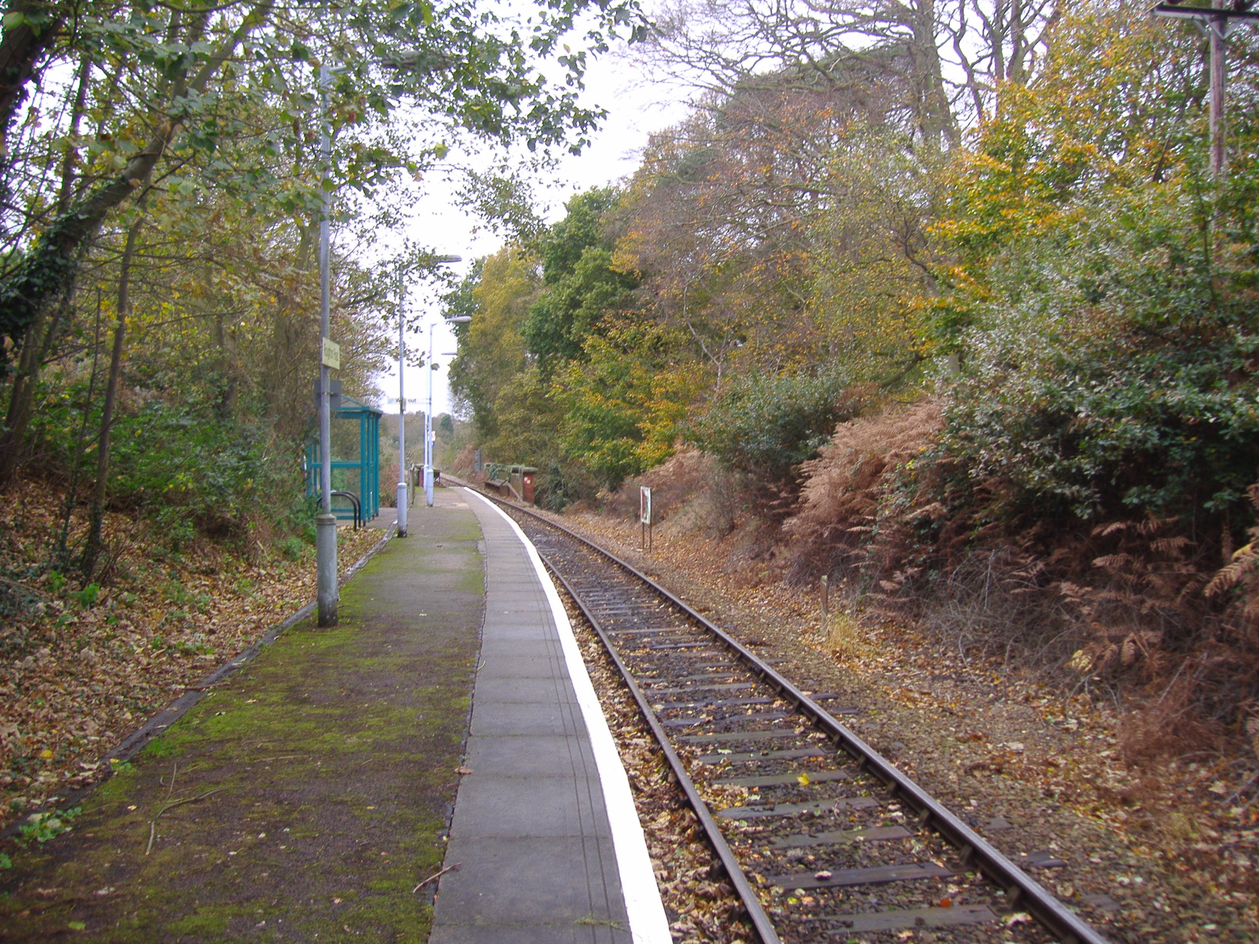
Roughton Road railway station
Roughton Road railway station is on the Bittern Line in Norfolk, England, on the outskirts of the town of Cromer. It takes its name from the street on...

Sustead
Sustead is a small village and parish in the county of Norfolk, England, about four miles south-west of Cromer. The parish also includes the villages of...
Nearby Amenities
Located within 500m of 52.892617,1.2924797Have you been to The Rookery?
Leave your review of The Rookery below (or comments, questions and feedback).