Devil's Wood
Wood, Forest in Norfolk South Norfolk
England
Devil's Wood
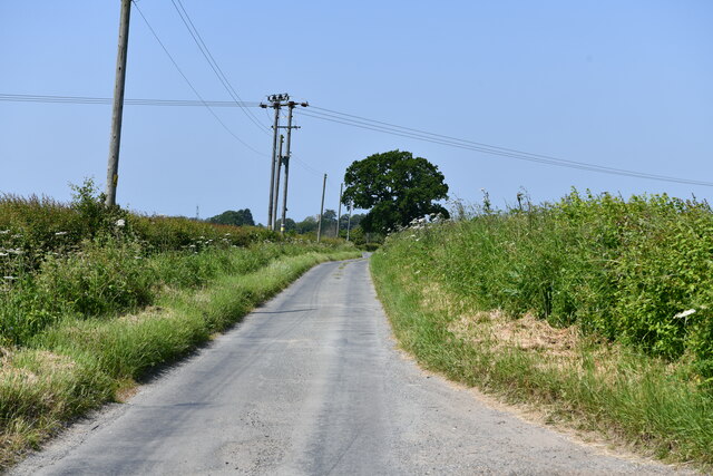
Devil's Wood, located in Norfolk, England, is a captivating and mysterious forest that stretches across an area of approximately 300 acres. Nestled amidst the idyllic countryside, this woodland is renowned for its intriguing history and enigmatic atmosphere.
The forest gets its name from the numerous legends and folklore that surround it. According to local tales, Devil's Wood was once a place of pagan rituals and dark practices, leading to its association with the supernatural. Its eerie reputation is enhanced by the dense canopy of trees that cast shadows even in the brightest of daylight, creating an ethereal ambiance.
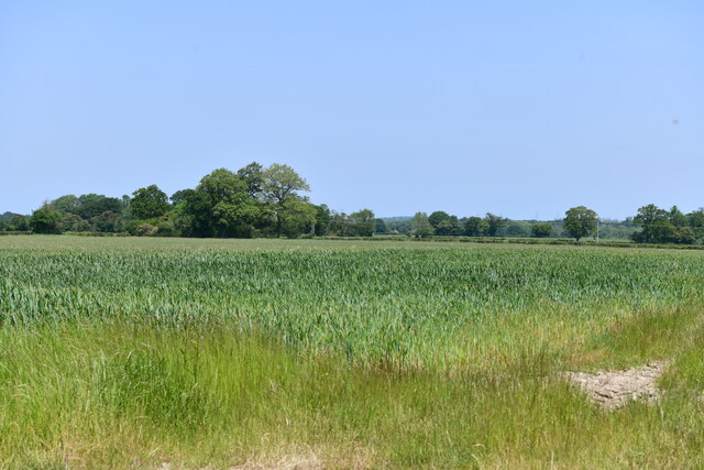
The woodland itself boasts a diverse range of tree species, including towering oak trees, beech, birch, and hazel. These trees form a thick canopy that blankets the forest floor, creating a sense of seclusion and tranquility. The undergrowth is abundant, with ferns, mosses, and wildflowers adding to the forest's natural beauty.
Walking through Devil's Wood, visitors will come across a network of narrow trails that wind their way through the forest, offering a chance to explore its hidden corners. The stillness and quietude of the woodland provide a haven for wildlife, with an array of bird species, deer, and smaller mammals calling this forest home.
Devil's Wood is a popular destination for nature enthusiasts, hikers, and those seeking a touch of mystery. Its haunting allure, combined with its natural splendor, make it a unique and captivating destination that continues to enchant visitors from near and far.
If you have any feedback on the listing, please let us know in the comments section below.
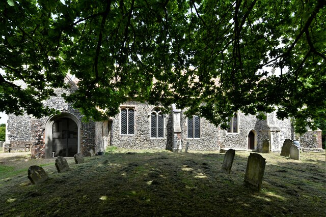
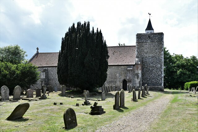
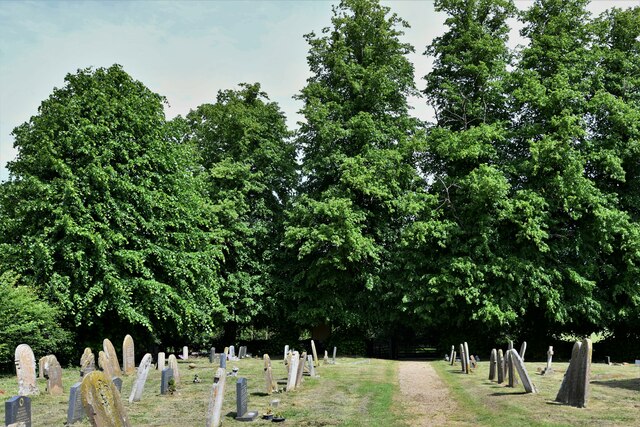
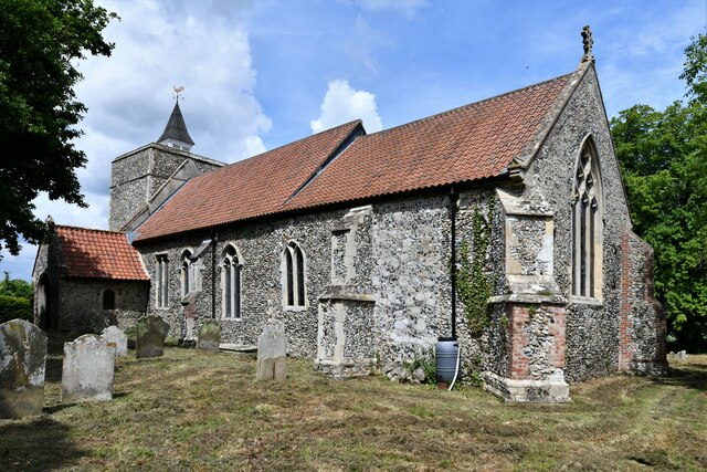
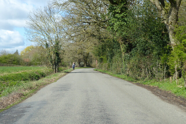
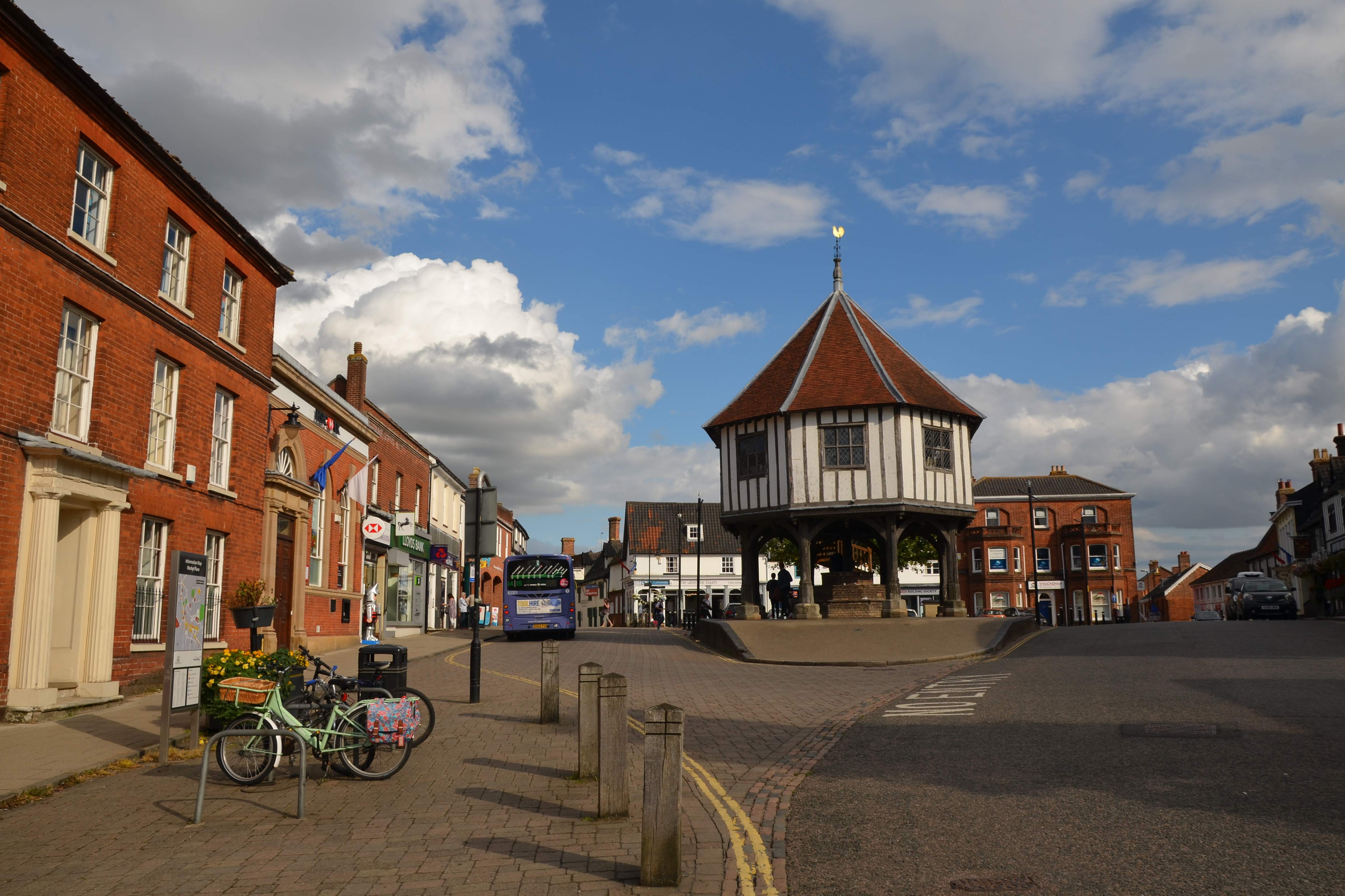
Devil's Wood Images
Images are sourced within 2km of 52.495087/1.261544 or Grid Reference TM2193. Thanks to Geograph Open Source API. All images are credited.


Devil's Wood is located at Grid Ref: TM2193 (Lat: 52.495087, Lng: 1.261544)
Administrative County: Norfolk
District: South Norfolk
Police Authority: Norfolk
What 3 Words
///respects.flopping.pots. Near Long Stratton, Norfolk
Nearby Locations
Related Wikis

Fritton Common, Morningthorpe
Fritton Common, Morningthorpe is a 20.5-hectare (51-acre) biological Site of Special Scientific Interest east of Long Stratton in Norfolk.This damp acidic...

Long Stratton
Long Stratton is a town and civil parish in Norfolk, England. It historically consisted of two villages; the larger, Stratton St. Mary, is to the south...
South Norfolk
South Norfolk is a local government district in Norfolk, England. The largest town is Wymondham, and the district also includes the towns of Costessey...

Hempnall
Hempnall is a village and civil parish in the English county of Norfolk. It covers an area of 14.82 km2 (5.72 sq mi) and had a population of 1,310 in 522...
Long Stratton High School
Long Stratton High School is a secondary school located in the town of Long Stratton in the English county of Norfolk. It educates children from ages...

Tasburgh
Tasburgh ( TAYZ-bər-ə) is a civil parish and a village in the south of Norfolk, England, located approximately 8 miles south of Norwich. It lies on the...

Morningthorpe
Morningthorpe (sometimes Morning Thorpe) is a village and former civil parish, now in the parish of Morningthorpe and Fritton in the South Norfolk district...

A140 road
The A140 is an 'A-class' road in Norfolk and Suffolk, East Anglia, England partly following the route of the Roman Pye Road. It runs from the A14 near...
Nearby Amenities
Located within 500m of 52.495087,1.261544Have you been to Devil's Wood?
Leave your review of Devil's Wood below (or comments, questions and feedback).