Twelve Acre Shaw
Wood, Forest in Kent Canterbury
England
Twelve Acre Shaw

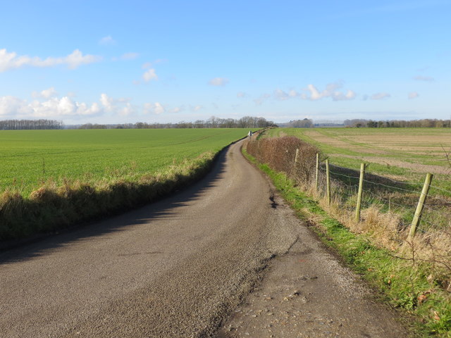
Twelve Acre Shaw is a picturesque wood located in the county of Kent, England. Covering an area of approximately twelve acres, this small yet enchanting forest is a popular destination for nature enthusiasts and those seeking a peaceful retreat away from the hustle and bustle of city life.
Situated in the southeastern part of Kent, Twelve Acre Shaw is characterized by its diverse range of trees, including oak, beech, and birch, which create a rich and varied landscape. The forest floor is adorned with a plethora of wildflowers, adding bursts of vibrant colors to the scenery.
The wood is crisscrossed with a network of well-maintained footpaths and trails, allowing visitors to explore the area at their own pace. Nature lovers can enjoy leisurely walks, birdwatching, and even spot some of the woodland creatures that call Twelve Acre Shaw their home, such as squirrels, rabbits, and various species of birds.
Twelve Acre Shaw is also steeped in history, with evidence of human activity dating back centuries. Remnants of ancient settlements and archaeological finds have been discovered within the wood, providing insights into the lives of the people who once inhabited the area.
The forest is open to the public year-round, and visitors are encouraged to respect the natural environment and follow designated trails to preserve the delicate ecosystem. Whether seeking solitude, a family outing, or an opportunity to connect with nature, Twelve Acre Shaw offers a tranquil and rejuvenating experience in the heart of Kent.
If you have any feedback on the listing, please let us know in the comments section below.
Twelve Acre Shaw Images
Images are sourced within 2km of 51.240513/1.1721445 or Grid Reference TR2153. Thanks to Geograph Open Source API. All images are credited.


Twelve Acre Shaw is located at Grid Ref: TR2153 (Lat: 51.240513, Lng: 1.1721445)
Administrative County: Kent
District: Canterbury
Police Authority: Kent
What 3 Words
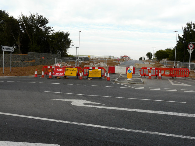
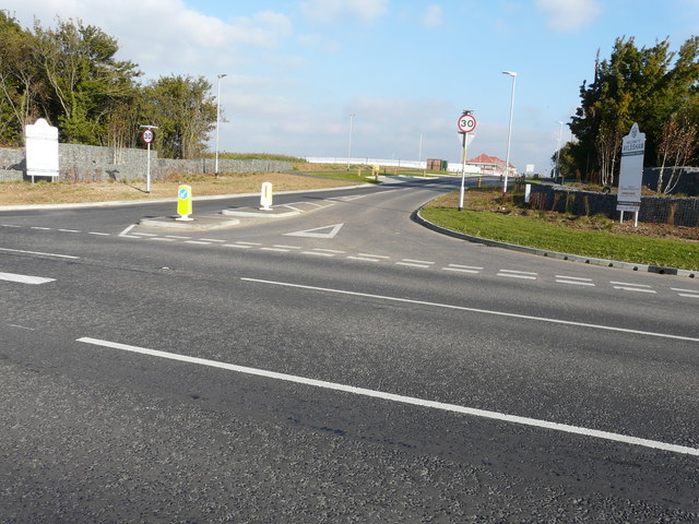
///stopwatch.concerts.solar. Near Aylesham, Kent
Nearby Locations
Related Wikis
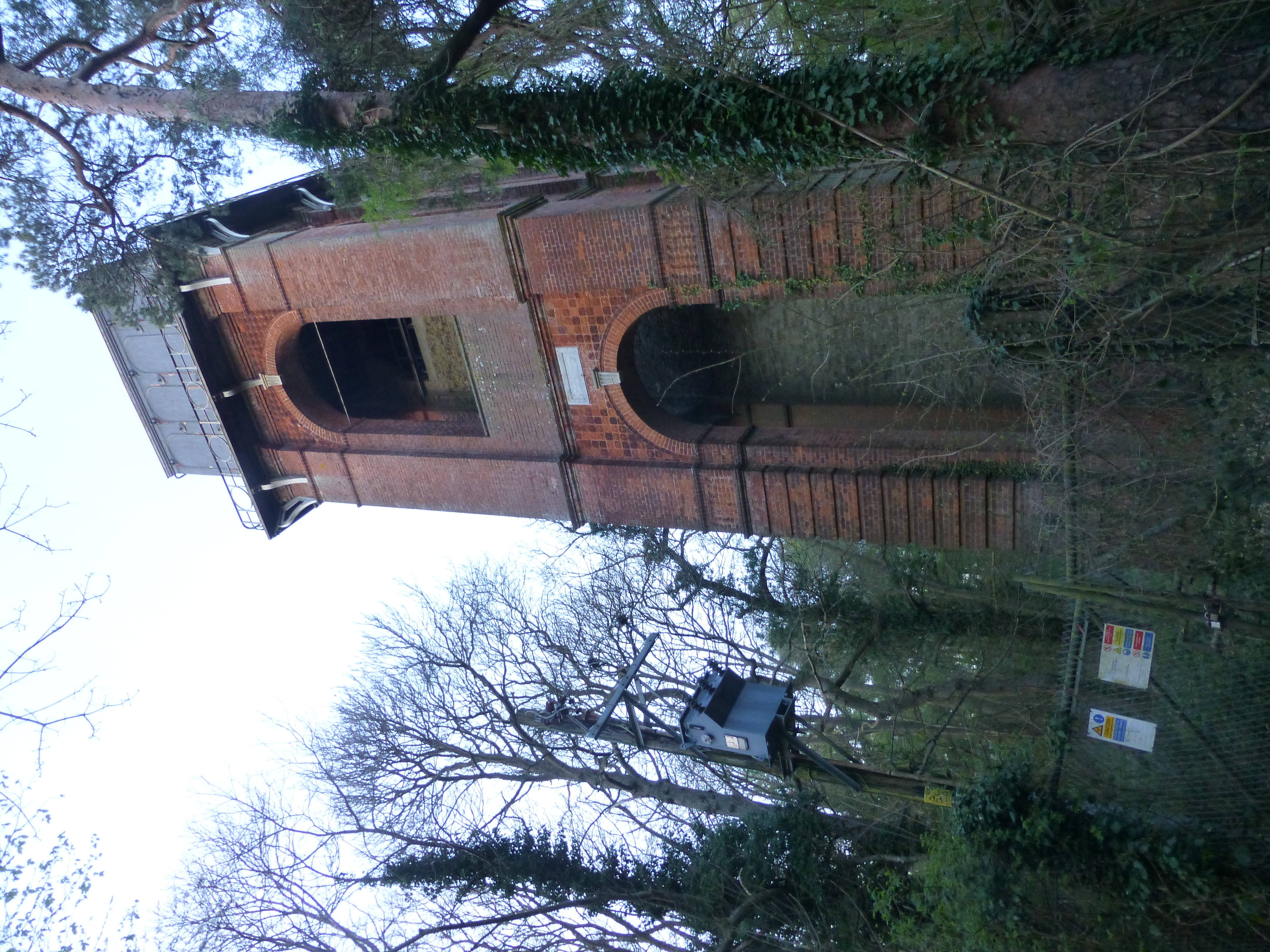
Adisham Water Tower
Adisham Water Tower is a Grade II listed building located in the parish of Adisham, Kent. The structure was built in 1903 in an Edwardian Italianate Revival...

Adisham
Adisham (formerly Adesham) is a village and civil parish in the English county of Kent. It is twinned with Campagne-lès-Hesdin in France. == Geography... ==

Ileden and Oxenden Woods
Ileden and Oxenden Woods is an 86.4-hectare (213-acre) biological Site of Special Scientific Interest (SSSI) south-east of Canterbury in Kent. It is in...
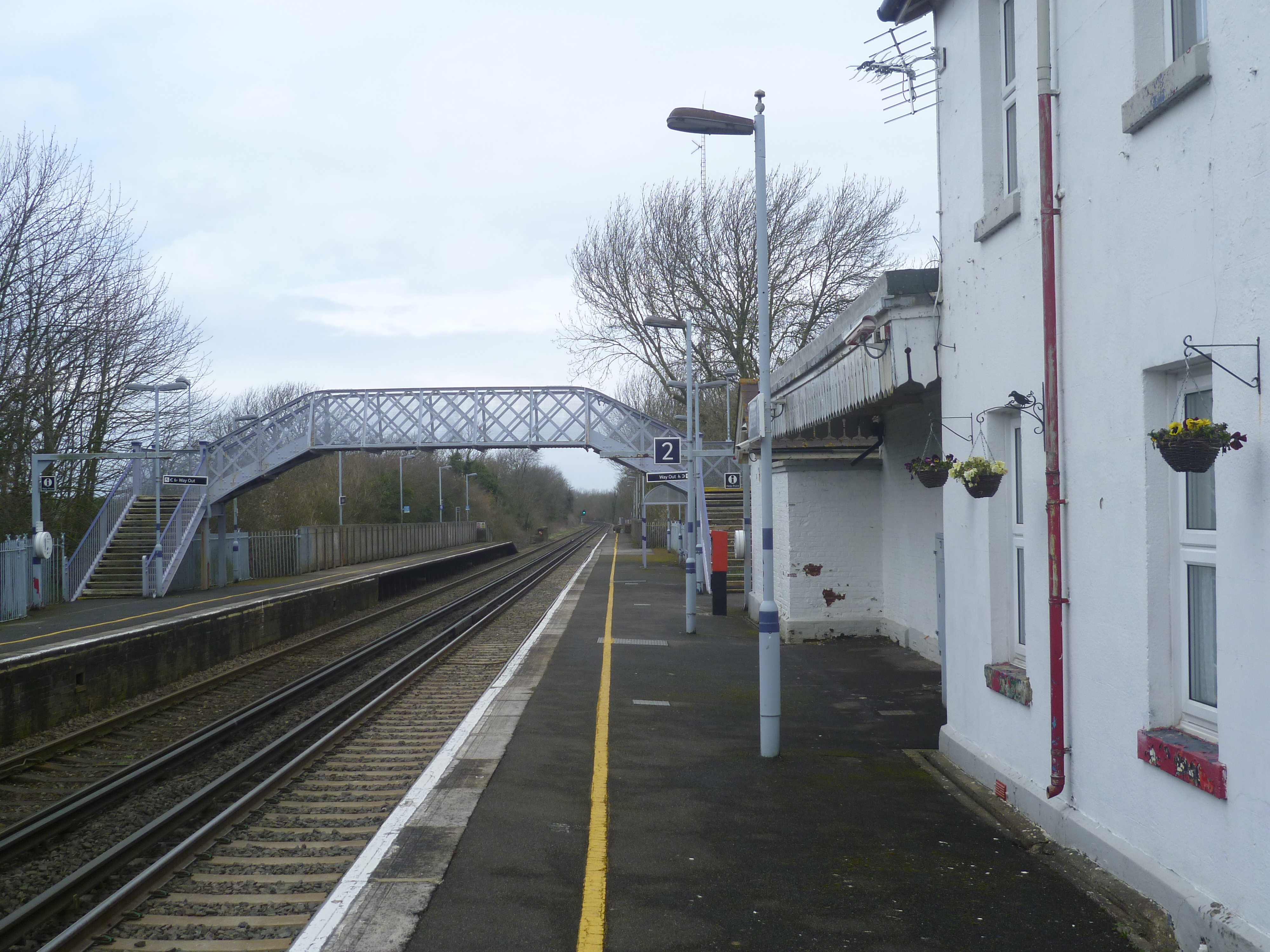
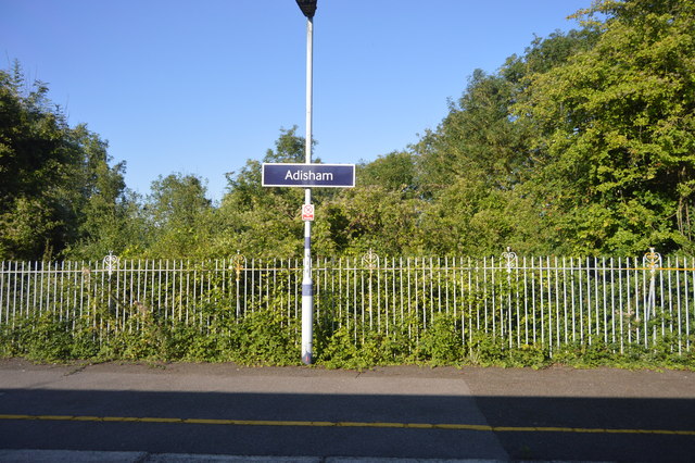
Adisham railway station
Adisham railway station is on the Dover branch of the Chatham Main Line in England, and serves the village of Adisham, Kent. It is 67 miles 60 chains...
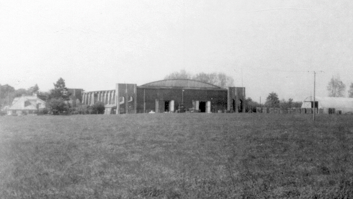
Bekesbourne Aerodrome
Bekesbourne Aerodrome was an airport located at the southeast edge of the village of Bekesbourne, southeast of Canterbury, Kent. It operated from 1916...

Higham Park
Higham Park is a Grade II* listed neoclassical style house and gardens, located at Bridge, Kent, 3 miles (4.8 km) south of Canterbury. == History... ==

Aylesham
Aylesham is a village and civil parish in the Dover district of Kent, England. The village is 6.5 miles (10.5 km) southeast of the cathedral city of Canterbury...

Bekesbourne
Bekesbourne is a village and former civil parish, now in the parish of Bekesbourne-with-Patrixbourne, in the Canterbury district, in Kent, South-East England...
Nearby Amenities
Located within 500m of 51.240513,1.1721445Have you been to Twelve Acre Shaw?
Leave your review of Twelve Acre Shaw below (or comments, questions and feedback).