Woodlands Wood
Wood, Forest in Kent Canterbury
England
Woodlands Wood
The requested URL returned error: 429 Too Many Requests
If you have any feedback on the listing, please let us know in the comments section below.
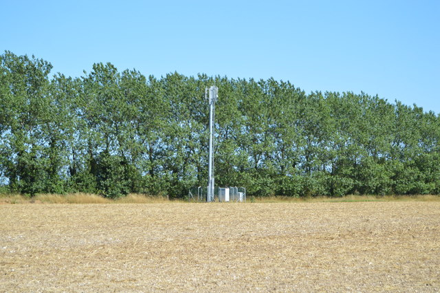
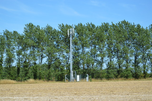
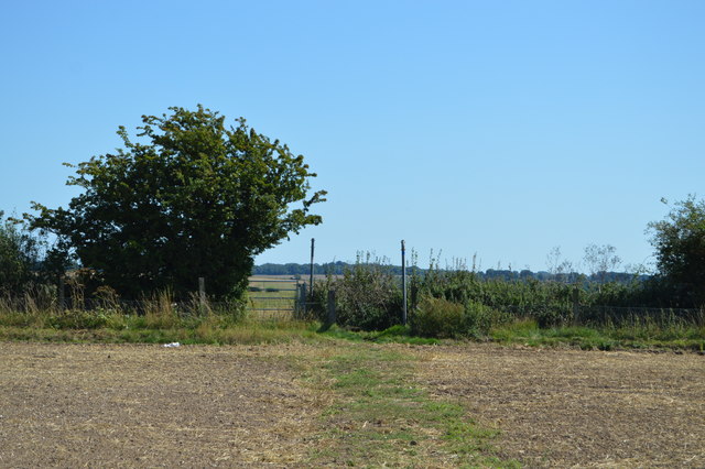
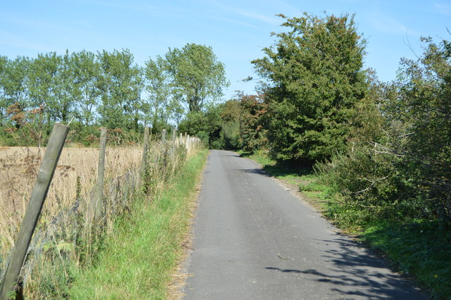
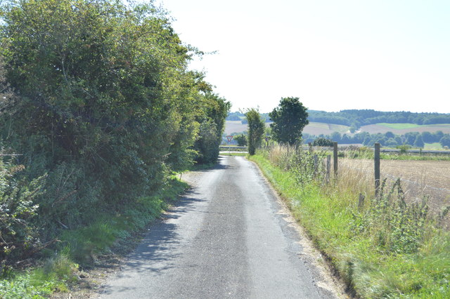
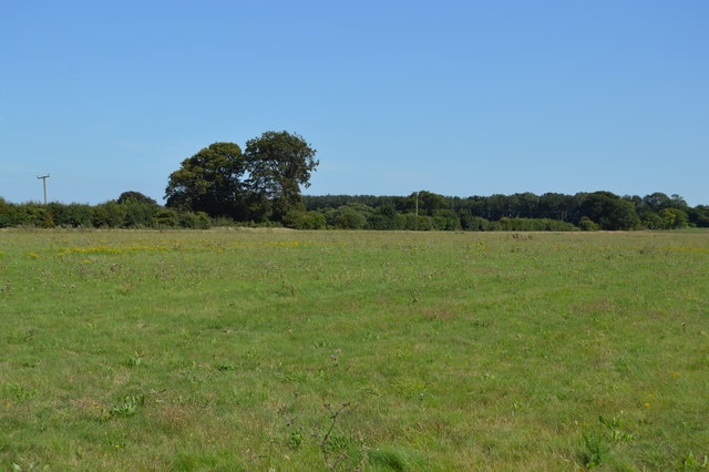
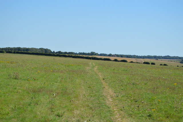
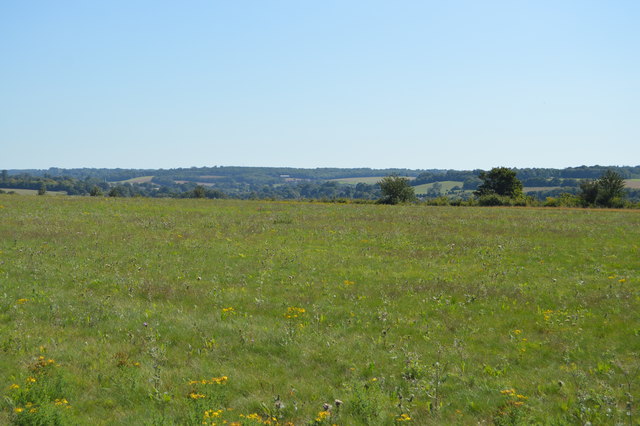
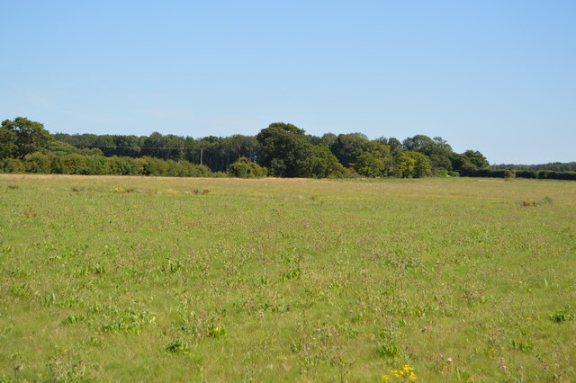
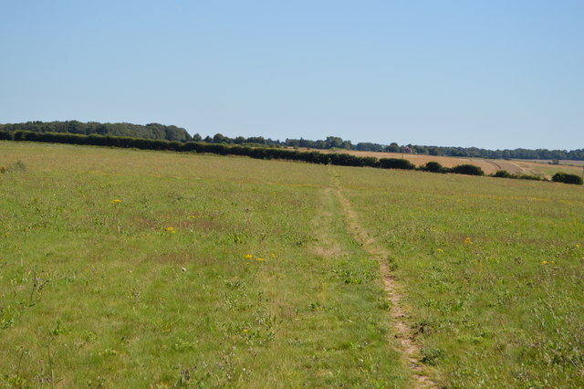
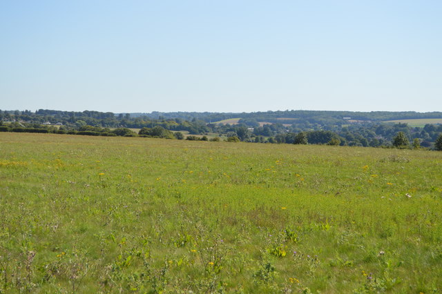
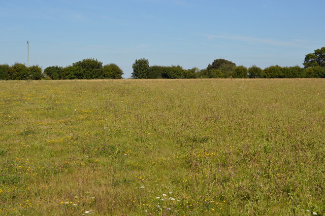
Woodlands Wood Images
Images are sourced within 2km of 51.235689/1.1646054 or Grid Reference TR2153. Thanks to Geograph Open Source API. All images are credited.


Woodlands Wood is located at Grid Ref: TR2153 (Lat: 51.235689, Lng: 1.1646054)
Administrative County: Kent
District: Canterbury
Police Authority: Kent
What 3 Words
///barks.carbonate.elbowing. Near Bridge, Kent
Nearby Locations
Related Wikis
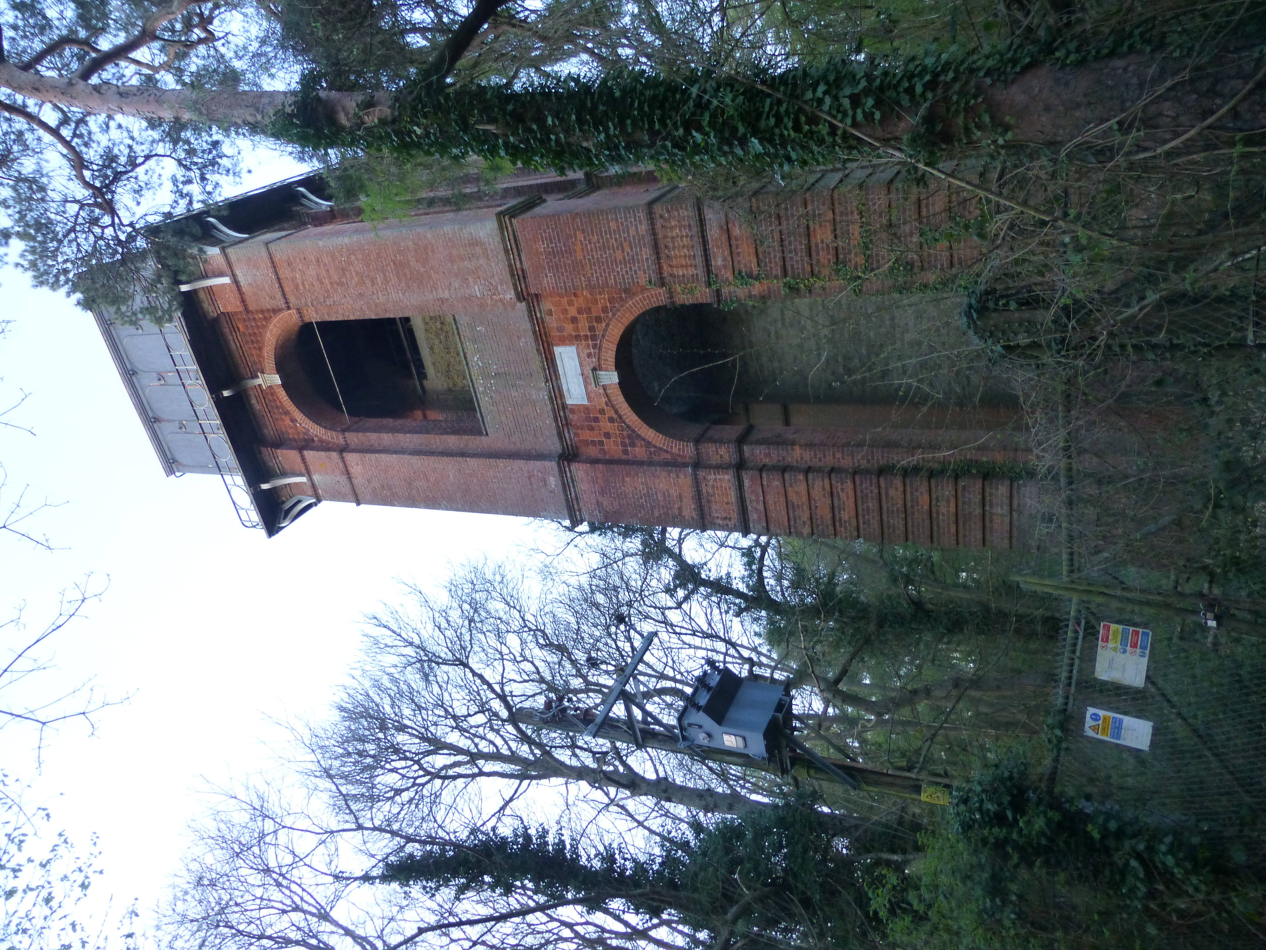
Adisham Water Tower
Adisham Water Tower is a Grade II listed building located in the parish of Adisham, Kent. The structure was built in 1903 in an Edwardian Italianate Revival...

Ileden and Oxenden Woods
Ileden and Oxenden Woods is an 86.4-hectare (213-acre) biological Site of Special Scientific Interest (SSSI) south-east of Canterbury in Kent. It is in...

Higham Park
Higham Park is a Grade II* listed neoclassical style house and gardens, located at Bridge, Kent, 3 miles (4.8 km) south of Canterbury. == History... ==

Adisham
Adisham (formerly Adesham) is a village and civil parish in the English county of Kent. It is twinned with Campagne-lès-Hesdin in France. == Geography... ==
Nearby Amenities
Located within 500m of 51.235689,1.1646054Have you been to Woodlands Wood?
Leave your review of Woodlands Wood below (or comments, questions and feedback).