The Belt
Wood, Forest in Norfolk North Norfolk
England
The Belt

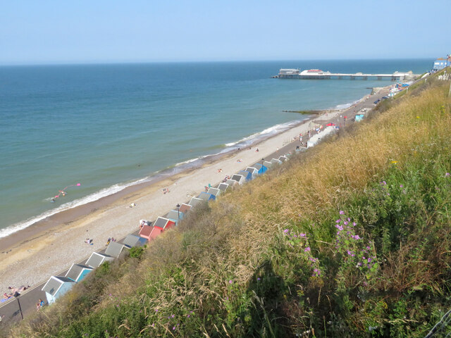
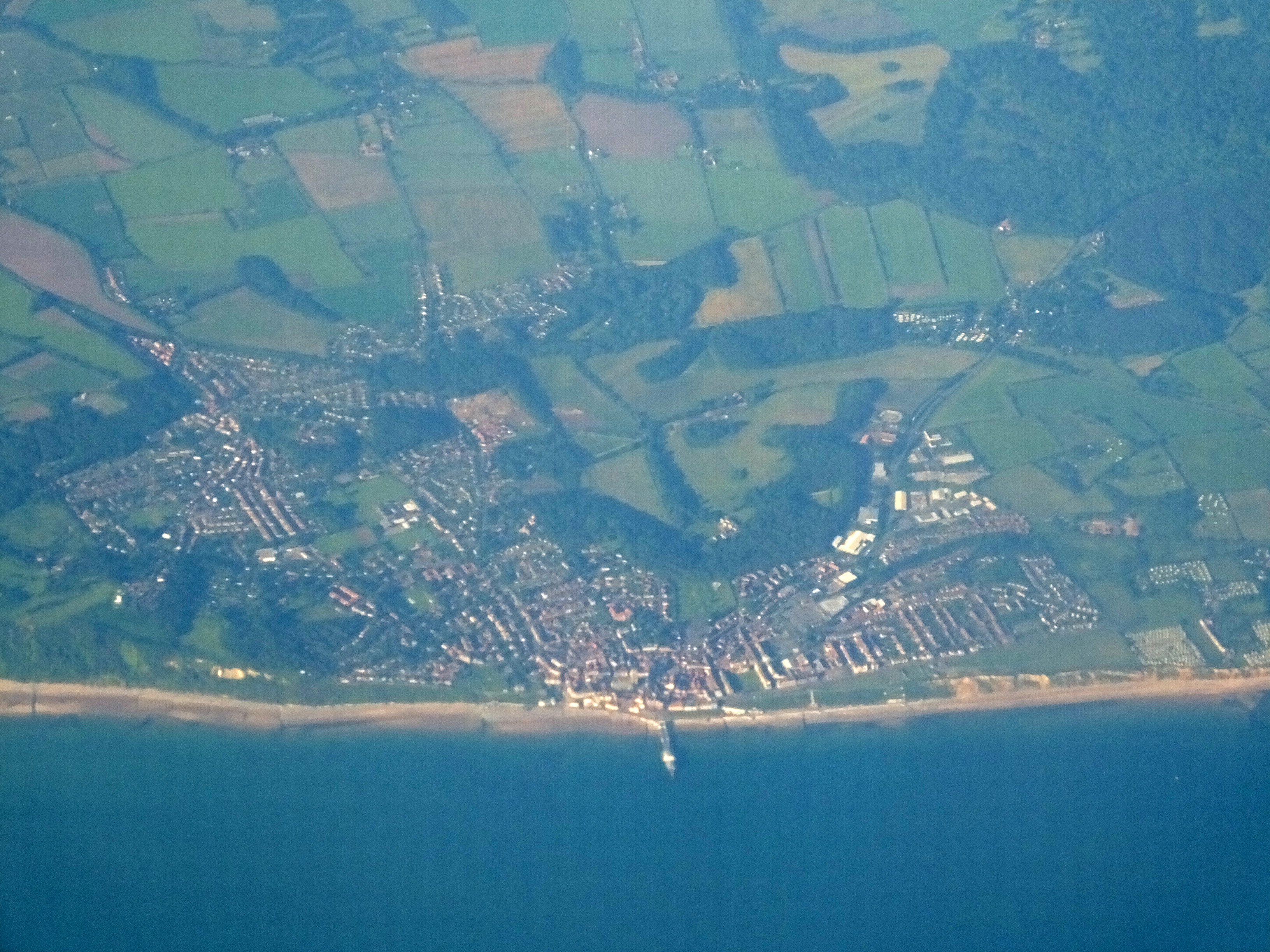
The Belt, located in Norfolk, is a vast woodland area known for its natural beauty and rich biodiversity. Covering an area of approximately 500 acres, it is one of the largest forests in the region. The forest is characterized by a mix of deciduous and coniferous trees, creating a diverse and vibrant ecosystem.
The Belt boasts a variety of tree species, including oak, beech, ash, and pine, which provide a habitat for numerous wildlife species. It is home to a range of mammals, such as deer, foxes, and badgers, as well as a plethora of bird species, including woodpeckers, owls, and various songbirds. Nature enthusiasts can delight in the sights and sounds of these creatures as they explore the forest.
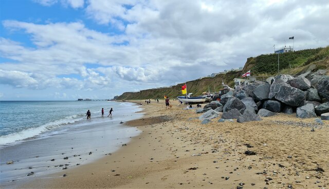
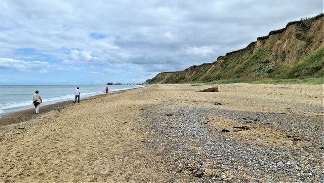
The woodland offers a wide array of recreational activities for visitors. There are numerous walking trails and cycling paths that meander through the forest, allowing visitors to explore its natural wonders at their own pace. The serene atmosphere and peaceful surroundings make it an ideal location for hiking, birdwatching, or simply enjoying a picnic amidst nature.
Moreover, The Belt is not only a haven for wildlife and outdoor enthusiasts but also plays a vital role in maintaining the ecological balance of the region. The forest acts as a carbon sink, absorbing and storing significant amounts of carbon dioxide, thereby contributing to mitigating climate change.
Overall, The Belt in Norfolk is a magnificent woodland area that offers a wealth of natural beauty, diverse wildlife, and recreational opportunities. It is a cherished destination for nature lovers and an essential component of the local ecosystem.
If you have any feedback on the listing, please let us know in the comments section below.
The Belt Images
Images are sourced within 2km of 52.926126/1.2941013 or Grid Reference TG2141. Thanks to Geograph Open Source API. All images are credited.


The Belt is located at Grid Ref: TG2141 (Lat: 52.926126, Lng: 1.2941013)
Administrative County: Norfolk
District: North Norfolk
Police Authority: Norfolk
What 3 Words
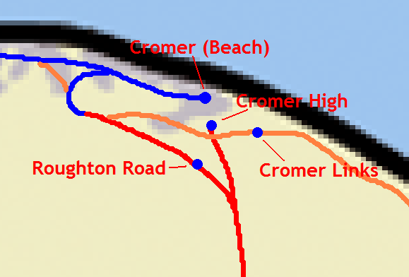
///surviving.scorch.unspoiled. Near Cromer, Norfolk
Related Wikis
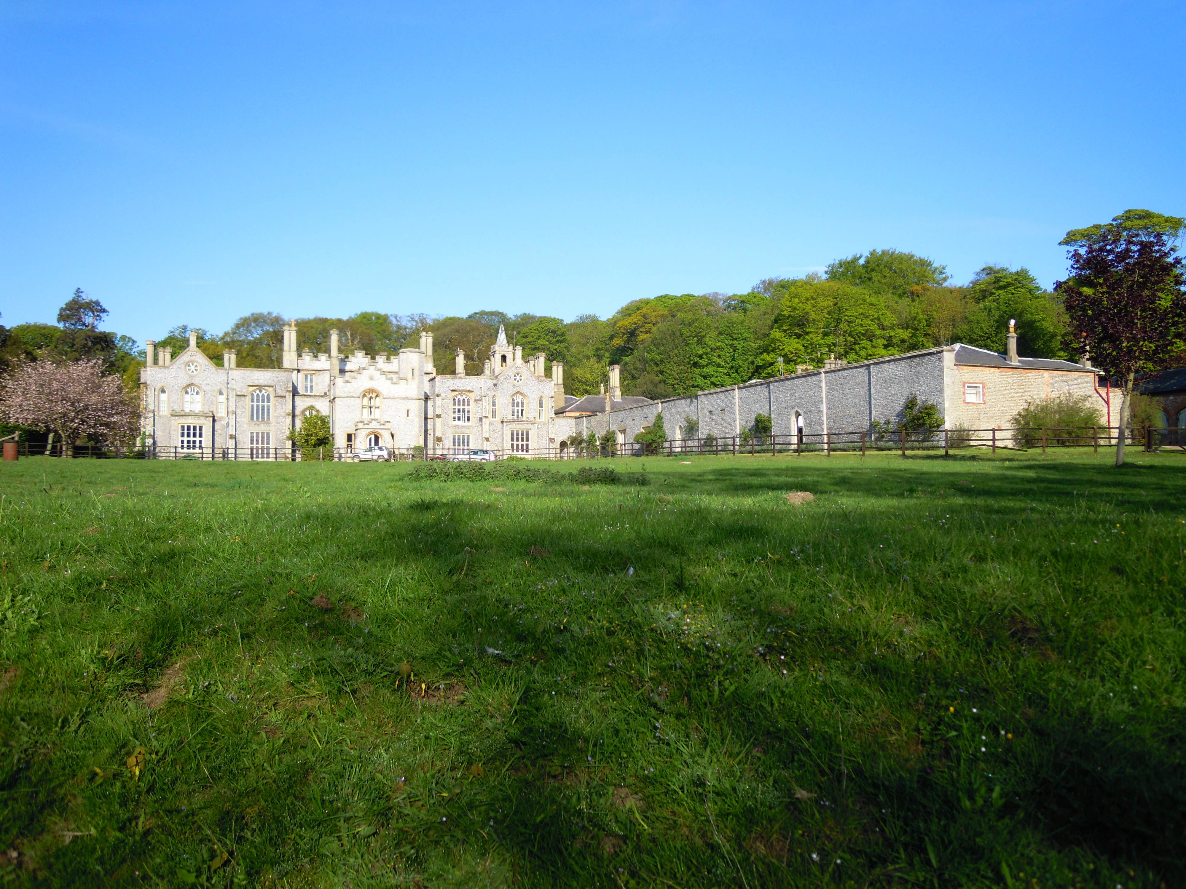
Cromer Hall
Cromer Hall is a country house located one mile south of Cromer on Holt Road, in the English county of Norfolk. The present house was built in 1829 by...

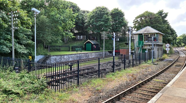
Cromer railway station
Cromer is a railway station in the English county of Norfolk. Because the Midland and Great Northern Joint Railway (M&GNJR) line approached Cromer from...
Railway stations in Cromer
The fishing port and holiday resort of Cromer in the English county of Norfolk has had a rail service since 1877. It was served by three railway stations...
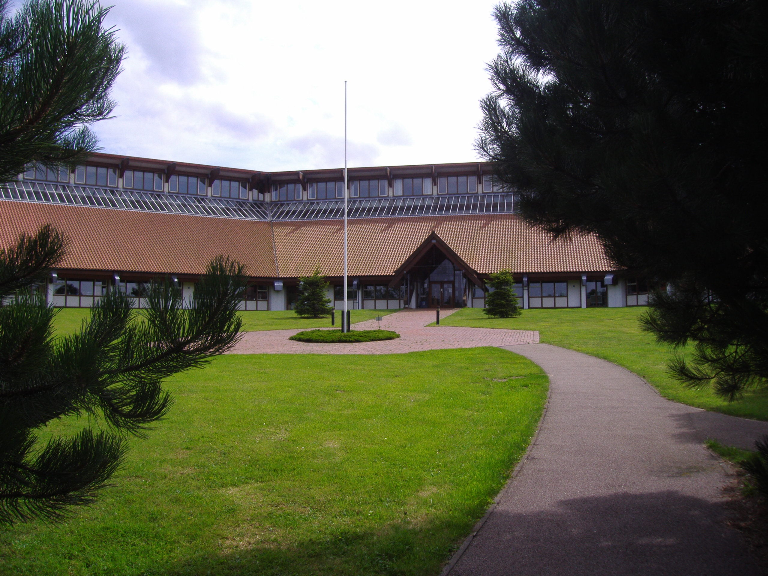
North Norfolk District Council Headquarters
North Norfolk District Council Headquarters is located in Holt road in a prominent position south of the town of Cromer in the English county of Norfolk...
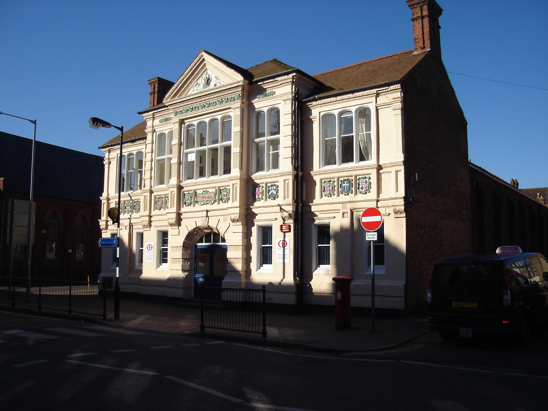
Old Town Hall, Cromer
The Old Town Hall is a former events venue in Prince of Wales Road, Cromer, Norfolk, England. The structure, which is currently used for retail purposes...

Cromer Academy
Cromer Academy (formerly Cromer High School, Sports College, Cromer Institute of Science) is a 11- 16 secondary school with academy status in Cromer, Norfolk...
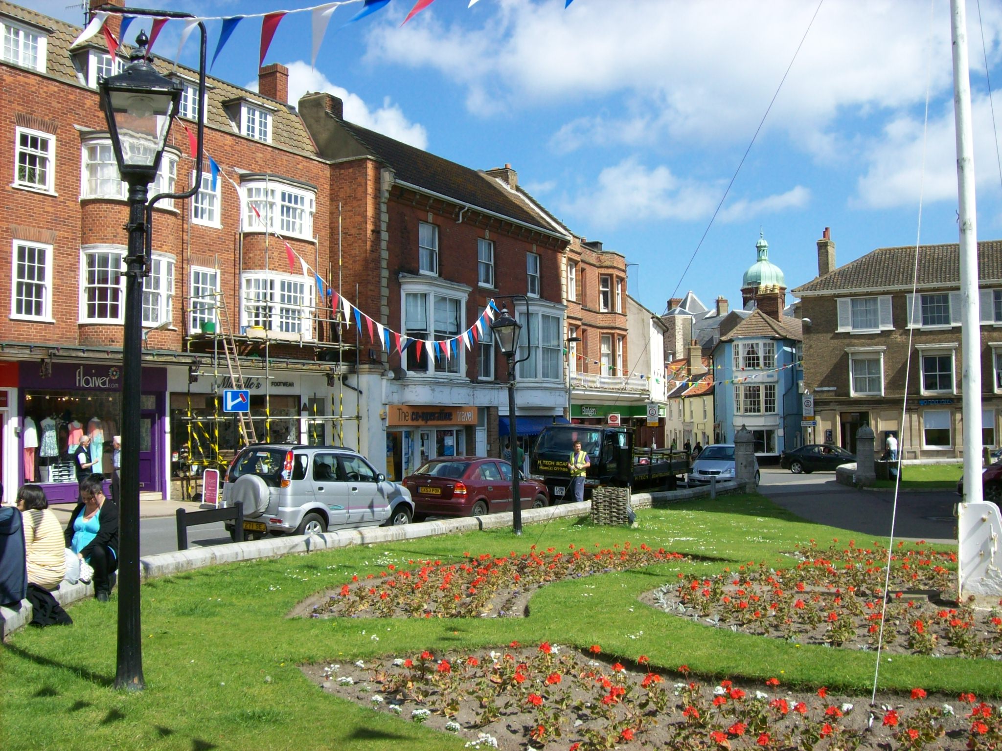
Cromer
Cromer ( KROH-mər) is a coastal town and civil parish on the north coast of the English county of Norfolk. It is 23 miles (37 kilometres) north of Norwich...
North Norfolk
North Norfolk is a local government district in Norfolk, England. Its council is based in Cromer, and the largest town is North Walsham. The district also...
Nearby Amenities
Located within 500m of 52.926126,1.2941013Have you been to The Belt?
Leave your review of The Belt below (or comments, questions and feedback).