Stonebeck Plantation

Wood, Forest in Norfolk Broadland

England

Stonebeck Plantation

Graveyard of All saints Church Hainford now a ruin Ruined tower in background. The graveyard is still in use.
Graveyard of All saints Church Hainford now a ruin Credit: David Pashley

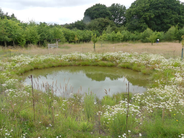
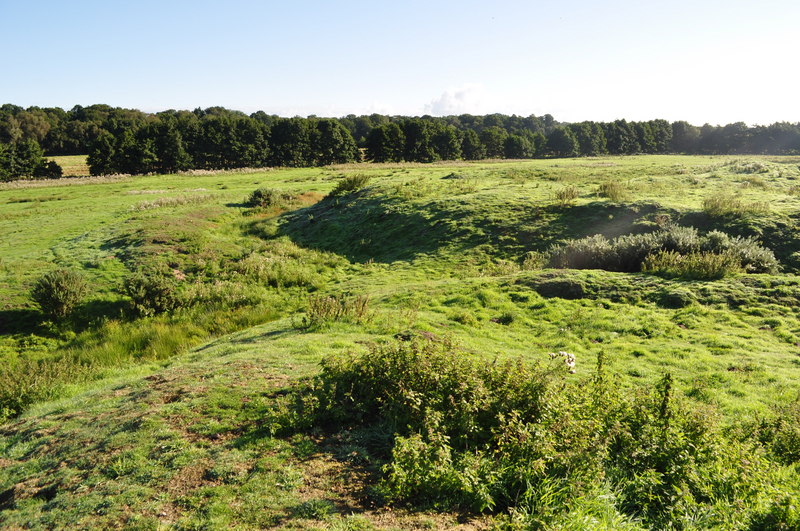
Stonebeck Plantation is a sprawling woodland estate located in Norfolk, England. Situated amidst the picturesque countryside, it covers a total area of approximately 500 acres, making it a significant natural habitat for various flora and fauna.

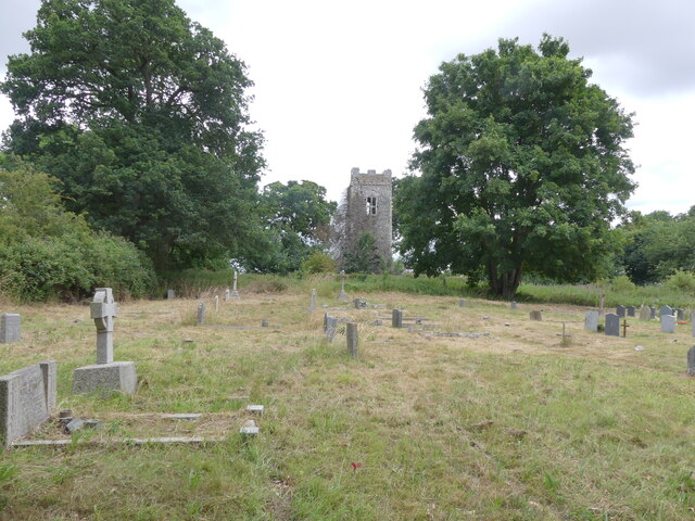
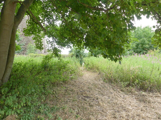
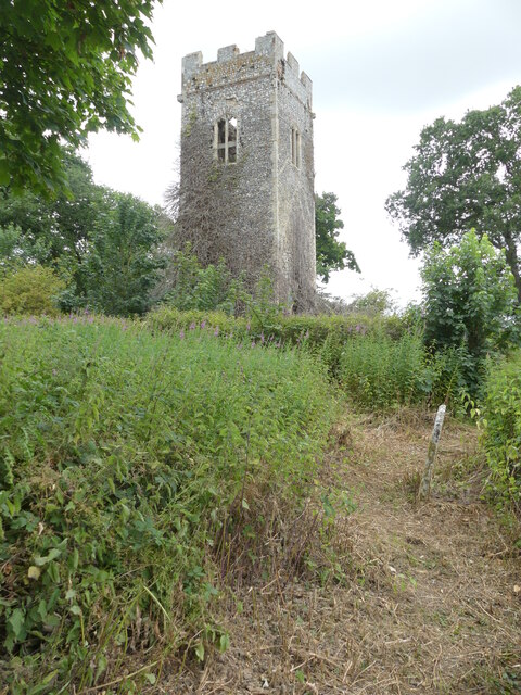
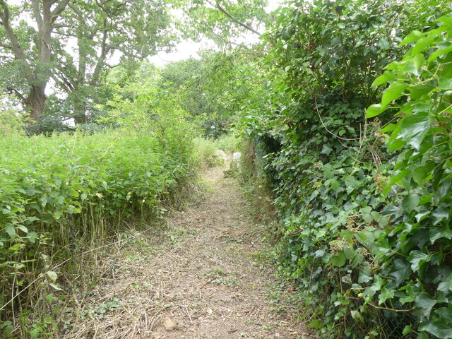
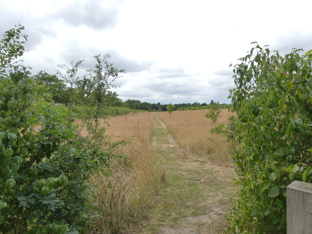
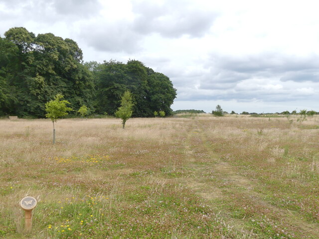
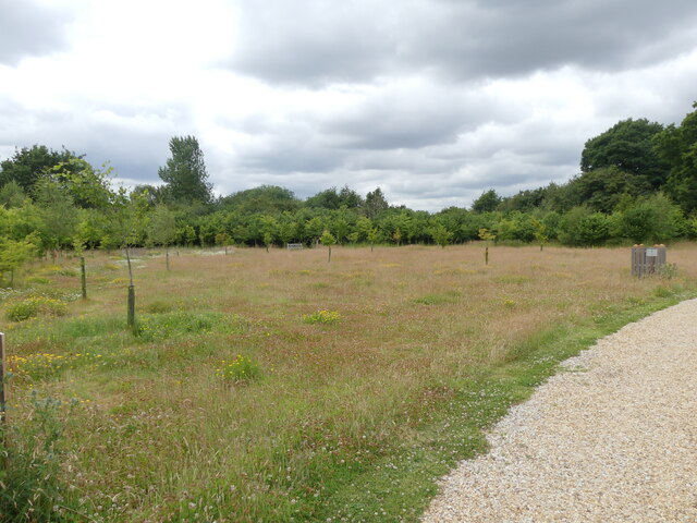
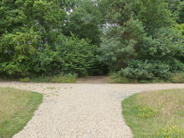
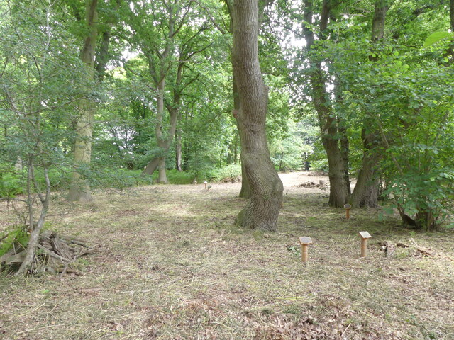
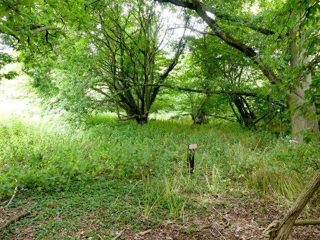
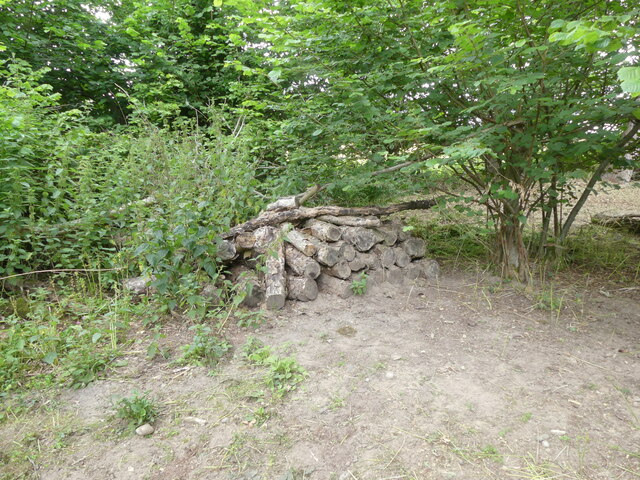
The plantation is primarily characterized by its dense and diverse woodlands, which consist of a variety of tree species such as oak, beech, birch, and pine. These trees provide a stunning canopy cover, creating a serene and tranquil environment. The forest floor is adorned with an array of wildflowers, mosses, and ferns, adding to the overall beauty of the area.

Stonebeck Plantation is known for its rich biodiversity. The diverse ecosystem supports numerous species of wildlife, including deer, foxes, badgers, and squirrels. Birdwatchers will be delighted to spot various species of birds, such as owls, woodpeckers, and songbirds, making it a haven for bird enthusiasts.

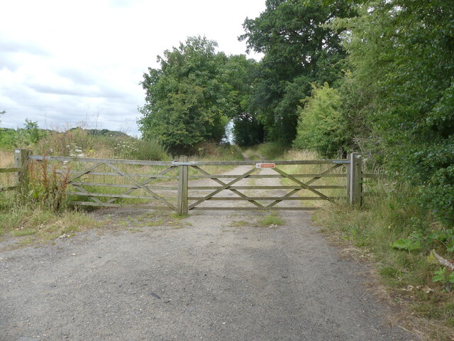
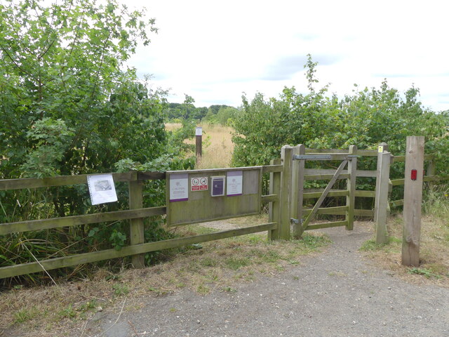
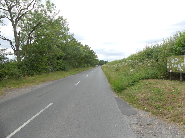
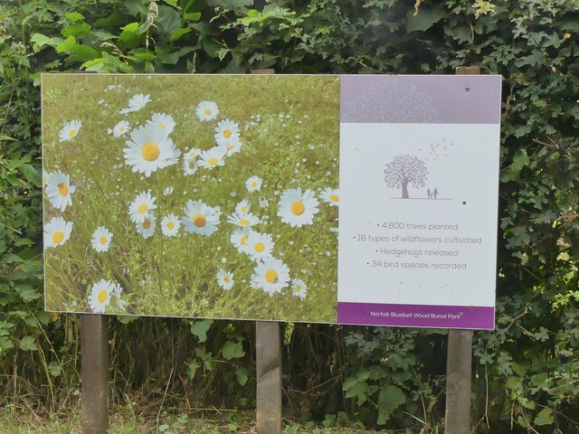
Visitors to the plantation can explore the well-maintained network of walking trails that wind through the forest, offering stunning views of the surrounding landscape. The trails are suitable for all levels of hikers, from leisurely strollers to more experienced adventurers. Additionally, the plantation offers guided nature walks and educational programs, providing visitors with an opportunity to learn about the local wildlife and conservation efforts.

Stonebeck Plantation is not only a haven for nature lovers but also a valuable natural resource contributing to the local ecosystem. Its breathtaking woodlands, diverse wildlife, and educational opportunities make it a cherished destination for individuals seeking a connection with nature in the heart of Norfolk.

If you have any feedback on the listing, please let us know in the comments section below.

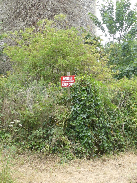
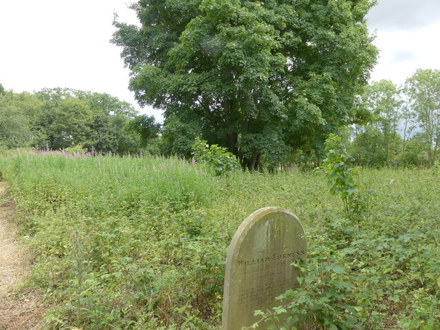
Stonebeck Plantation Images

Images are sourced within 2km of 52.717893/1.27851 or Grid Reference TG2118. Thanks to Geograph Open Source API. All images are credited.

Graveyard of All saints Church Hainford now a ruin Ruined tower in background. The graveyard is still in use.
Graveyard of All saints Church Hainford now a ruin
Ruined tower in background. The graveyard is still in use.
Path from part of churchyard to the ruined church Path through nettles has gravestones as obstacles
Path from part of churchyard to the ruined church
Path through nettles has gravestones as obstacles
Tower of ruined church as seen from path
Part of path round ruin of All Saints Church On the right vegetation has grown and hidden wire fence around site
Part of path round ruin of All Saints Church
On the right vegetation has grown and hidden wire fence around site
Danger falling masonary (sic) sign Falling masonary sign should read falling masonry. Spelling error on sign
Danger falling masonary (sic) sign
Falling masonary sign should read falling masonry. Spelling error on sign
Conservation area in churchyard
Locked gate on farm track
Pedestrian entrance to woodland burial site
Path through meadow at woodland burial site
Old Church Road a long straight
Sign for Bluebell Wood Burial Park
Woodland Meadow at Burial Park
Meadow with young oaks
Entrance to Bluebell Wood in Burial Park
Memorials under oak canopy
No entry wildlife area Bluebell Wood Burial Park
Wildlife log pile
Wildlife log pile
Wildlife pond
Wildlife pond
Show me another place!

Stonebeck Plantation is located at Grid Ref: TG2118 (Lat: 52.717893, Lng: 1.27851)

Administrative County: Norfolk

District: Broadland

Police Authority: Norfolk

What 3 Words

///served.routines.flaunting. Near Horsford, Norfolk

Related Wikis

Hainford

Hainford (originally Haynford) is a village and civil parish in the English county of Norfolk. It covers an area of 6.94 km2 (2.68 sq mi) and had a population...

Stratton Strawless

Stratton Strawless is a village in the county of Norfolk and district of Broadland. The civil parish covers 714 acres (289 ha) and has a population of...

St Faith's and Aylsham Rural District

St Faith's and Aylsham Rural Districts were adjacent rural districts in Norfolk, England from 1894 to 1935. They were formed under the Local Government...

Horsford Castle

Horsford Castle is situated in the village of Horsford, 6 miles to the north of the city of Norwich. == Details == Before the Norman conquest of England...

Nearby Amenities

Located within 500m of 52.717893,1.27851
Bus Stop
Phone Box, adj
Naptan AtcoCode: 2900H026
Naptan Bearing: N
Naptan BusStopType: CUS
Naptan CommonName: Phone Box
Naptan Indicator: adj
Naptan Landmark: os No. 29
Naptan Locality: New Hainford
Naptan NaptanCode: nfoatmwp
Naptan Street: Cromer Road
Naptan Verified: no
Shelter: no
Source: naptan_import
Lat/Long: 52.7197649/1.27562
Bus Stop
Phone Box
Naptan AtcoCode: 2900H029
Naptan Bearing: S
Naptan CommonName: Phone Box
Naptan Indicator: opp
Naptan Landmark: os No. 16
Naptan Locality: New Hainford
Naptan NaptanCode: nfoatpag
Naptan Street: Cromer Road
Shelter: no
Source: naptan_import;survey
Lat/Long: 52.7199651/1.2757255
Post Box
Post Box Mounting: pier
Post Box Type: lamp
Royal Cypher: EIIR
Royal Cypher Wikidata: Q33102113
Lat/Long: 52.7198699/1.275562
Power: pole
Lat/Long: 52.7163772/1.2718807
Power: pole
Lat/Long: 52.7163309/1.2737207
Material: wood
Power: pole
Lat/Long: 52.7162911/1.2755366
Power: pole
Lat/Long: 52.7162676/1.2770829
Power: pole
Lat/Long: 52.7162976/1.2785608
Power: pole
Lat/Long: 52.7163212/1.2800856
Power: pole
Lat/Long: 52.7163464/1.2815689
Power: pole
Lat/Long: 52.7163846/1.2831017
Power: pole
Lat/Long: 52.7164219/1.2845461
The data included in this document is from www.openstreetmap.org. The data is made available under ODbL.

Have you been to Stonebeck Plantation?

Leave your review of Stonebeck Plantation below (or comments, questions and feedback).