Bridge Plantation

Wood, Forest in Norfolk Broadland

England

Bridge Plantation

Old Church Road a long straight
Old Church Road a long straight Credit: David Pashley

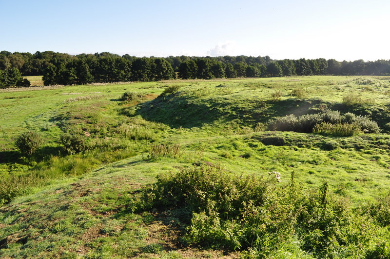
Bridge Plantation is a picturesque woodland area located in Norfolk, England. This expansive plantation covers a vast area of lush greenery, making it a popular destination for nature enthusiasts and hikers.

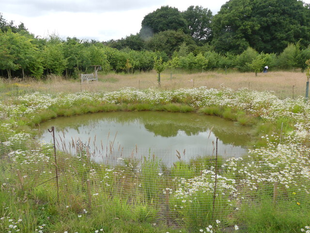
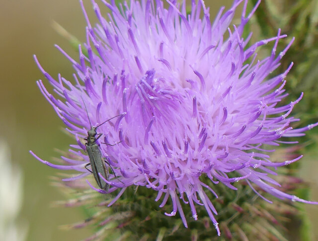
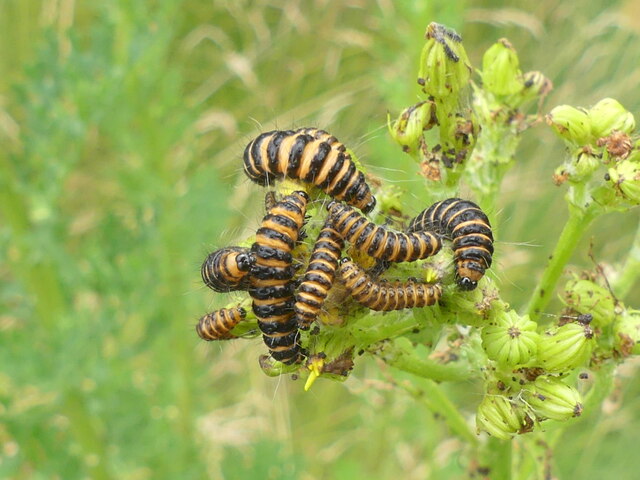
Known for its dense forest and towering trees, Bridge Plantation offers a serene and tranquil environment to visitors. The plantation is home to a diverse range of flora and fauna, with various species of plants, flowers, and wildlife thriving within its boundaries. The woodland is particularly renowned for its oak trees, which dominate the landscape and provide a majestic backdrop.

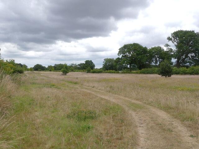
Visitors to Bridge Plantation can explore the numerous walking trails and pathways that wind through the forest, offering stunning views and opportunities to embrace the natural beauty of the area. The plantation also features a small river, which adds to the charm and allure of the surroundings.

Bridge Plantation has a rich history, dating back several centuries. It has been managed carefully over the years to preserve its natural beauty and biodiversity. The woodland is an important habitat for many species of birds, mammals, and insects, making it an ideal location for wildlife enthusiasts and birdwatchers.

Overall, Bridge Plantation in Norfolk is a captivating destination, offering a peaceful retreat for those seeking solace in nature. With its verdant forests, diverse wildlife, and scenic trails, it is a place where visitors can escape the hustle and bustle of everyday life and immerse themselves in the serenity of the natural world.

If you have any feedback on the listing, please let us know in the comments section below.

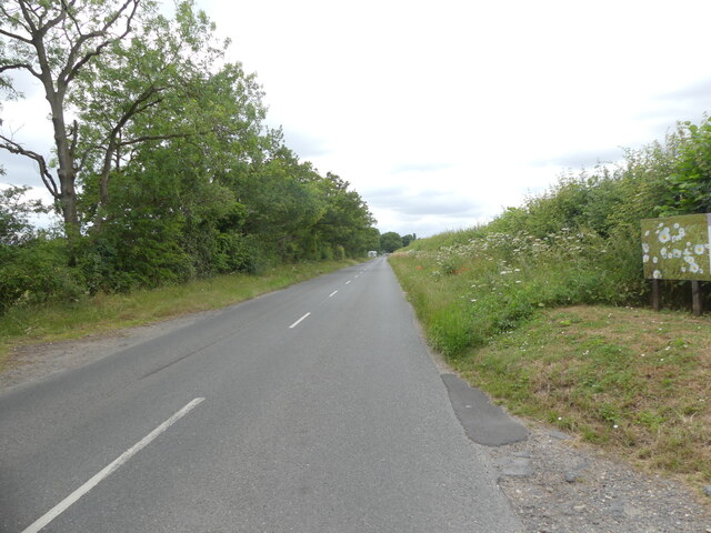
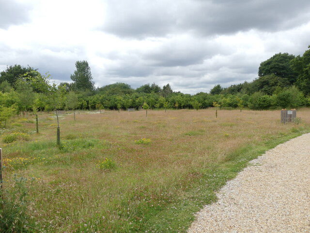
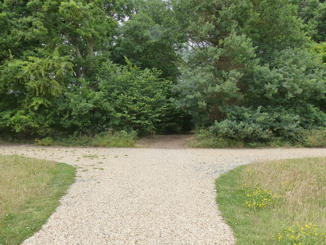
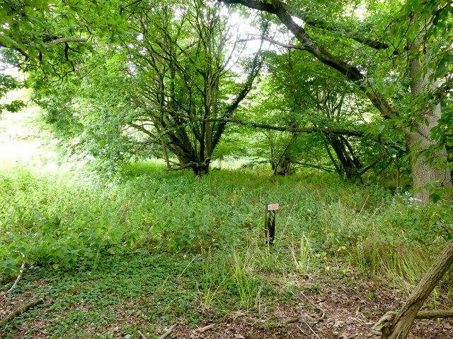
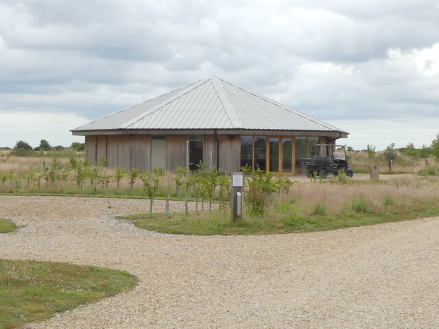
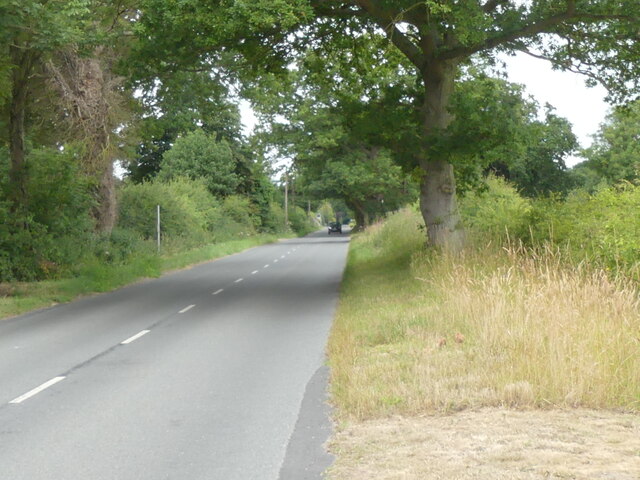
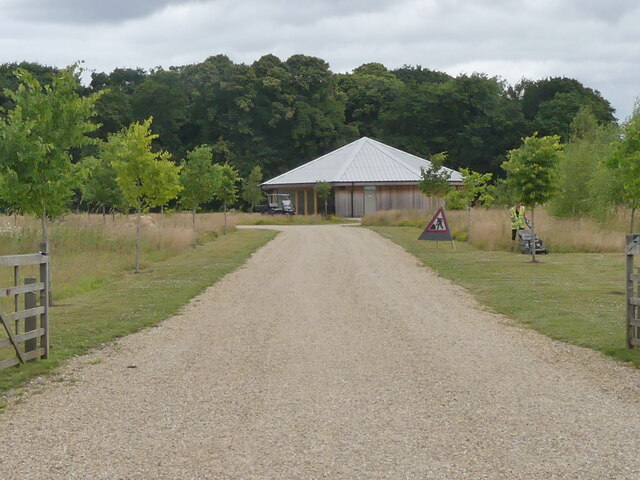
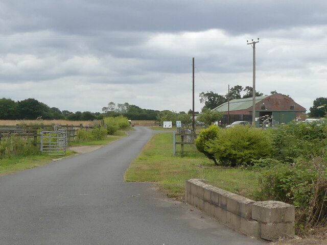
Bridge Plantation Images

Images are sourced within 2km of 52.715537/1.2742901 or Grid Reference TG2118. Thanks to Geograph Open Source API. All images are credited.

Old Church Road a long straight
Meadow with young oaks
Entrance to Bluebell Wood in Burial Park
No entry wildlife area Bluebell Wood Burial Park
Wildlife pond
Wildlife pond
Flower meadow at Bluebell Wood Burial Park
Oedemera lurida on Thistle flower
Cinnabar moth caterpillars
Cedar Hall used for funeral and memorial services Bluebell Wood Burial Park
Cedar Hall used for funeral and memorial services
Bluebell Wood Burial Park
West on Old Church Road
Entrance road to Bluebell Wood Burial Park
Entrance to Westover Vets large animal site
Westover Veterinary Centre sign
B1354 Old Church Road, Waterloo At the junction with the B1354 Waterloo Road & Stratton Road
B1354 Old Church Road, Waterloo
At the junction with the B1354 Waterloo Road & Stratton Road
Stratton Road, Waterloo At the junction with the B1354 Old Church Road & B1354 Waterloo Road
Stratton Road, Waterloo
At the junction with the B1354 Old Church Road & B1354 Waterloo Road
Stratton Road sign On Stratton Road at the junction with the B1354 Old Church Road & B1354 Waterloo Road
Stratton Road sign
On Stratton Road at the junction with the B1354 Old Church Road & B1354 Waterloo Road
The Chequers Public House sign & Old Church Road sign On B1354 Old Church Road at the junction with the B1354 Waterloo Road & Stratton Road
Postbox No.NR10 1003D
<span class="nowrap"><a title="https://www.thechequershainford.co.uk/food" rel="nofollow ugc noopener" href="https://www.thechequershainford.co.uk/food">Link</a><img style="margin-left:2px;" alt="External link" title="External link - shift click to open in new window" src="https://s1.geograph.org.uk/img/external.png" width="10" height="10"/></span>
The Chequers Public House sign & Old Church Road sign
On B1354 Old Church Road at the junction with the B1354 Waterloo Road & Stratton Road Postbox No.NR10 1003D LinkExternal link
Stratton Road/Waterloo Road Postbox On Stratton Road at the junction with the B1354 Old Church Road & B1354 Waterloo Road
Postbox No.NR10 1003D
Stratton Road/Waterloo Road Postbox
On Stratton Road at the junction with the B1354 Old Church Road & B1354 Waterloo Road Postbox No.NR10 1003D
Show me another place!

Bridge Plantation is located at Grid Ref: TG2118 (Lat: 52.715537, Lng: 1.2742901)

Administrative County: Norfolk

District: Broadland

Police Authority: Norfolk

What 3 Words

///organist.audit.jetting. Near Horsford, Norfolk

Related Wikis

Hainford

Hainford (originally Haynford) is a village and civil parish in the English county of Norfolk. It covers an area of 6.94 km2 (2.68 sq mi) and had a population...

Horsford Castle

Horsford Castle is situated in the village of Horsford, 6 miles to the north of the city of Norwich. == Details == Before the Norman conquest of England...

Horsford

Horsford is a village six miles north of Norwich, England which is surrounded by the Horsford Forest and is named after the dried up section of the River...

Stratton Strawless

Stratton Strawless is a village in the county of Norfolk and district of Broadland. The civil parish covers 714 acres (289 ha) and has a population of...

Nearby Amenities

Located within 500m of 52.715537,1.2742901
Bus Stop
Phone Box, adj
Naptan AtcoCode: 2900H026
Naptan Bearing: N
Naptan BusStopType: CUS
Naptan CommonName: Phone Box
Naptan Indicator: adj
Naptan Landmark: os No. 29
Naptan Locality: New Hainford
Naptan NaptanCode: nfoatmwp
Naptan Street: Cromer Road
Naptan Verified: no
Shelter: no
Source: naptan_import
Lat/Long: 52.7197649/1.27562
Post Box
Post Box Mounting: pier
Post Box Type: lamp
Royal Cypher: EIIR
Royal Cypher Wikidata: Q33102113
Lat/Long: 52.7198699/1.275562
Power: pole
Lat/Long: 52.7181113/1.2697779
Power: pole
Lat/Long: 52.7171328/1.270946
Power: pole
Lat/Long: 52.7163772/1.2718807
Power: pole
Lat/Long: 52.7163309/1.2737207
Material: wood
Power: pole
Lat/Long: 52.7162911/1.2755366
Power: pole
Lat/Long: 52.7162676/1.2770829
Power: pole
Lat/Long: 52.7162976/1.2785608
Power: pole
Lat/Long: 52.7163212/1.2800856
Power: pole
Lat/Long: 52.7163464/1.2815689
The data included in this document is from www.openstreetmap.org. The data is made available under ODbL.

Have you been to Bridge Plantation?

Leave your review of Bridge Plantation below (or comments, questions and feedback).